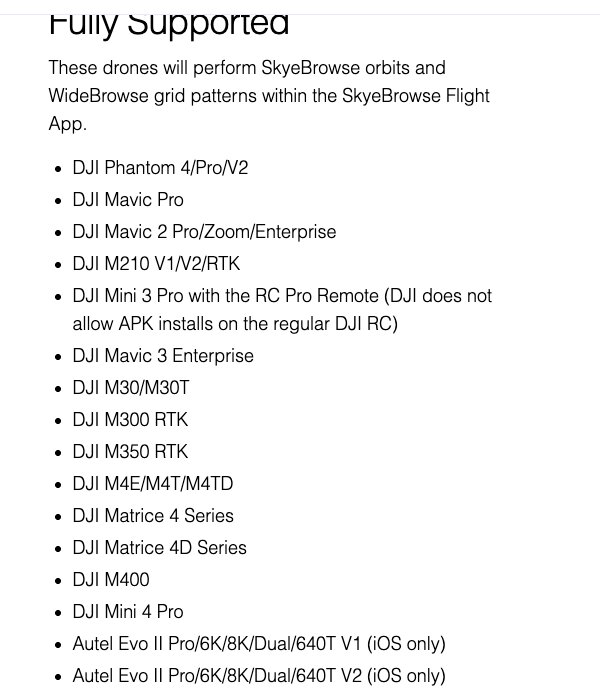
DJI Matrice 30T mapping suits crews who need one weather-sealed aircraft for thermal search, zoom inspection and measurable 3D scenes, because the M30 and M30T are fully supported in the SkyeBrowse Flight App. Videogrammetry is the technique of reconstructing a 3D model from continuous video frames, so the M30T records one clip instead of hundreds of overlapping stills. This guide covers mapping specs, GSD by altitude, mission settings, field use, and how it compares with the Mavic 3T, Matrice 4T and Matrice 400.
Key Takeaways
- The SkyeBrowse Flight App flies automated Orbit and WideBrowse missions on both the M30 and M30T, and any M30T clip can also go through Universal Upload with its .SRT file.
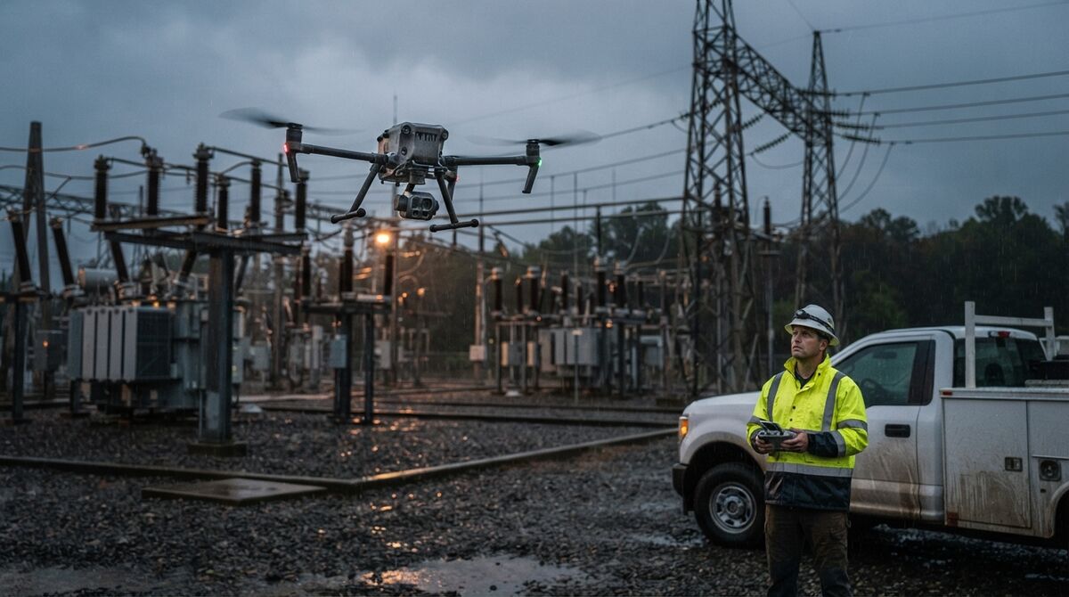
- DJI rates the M30T at 41 minutes of flight, IP55 protection, 12 m/s wind resistance and -20 to 50 °C operation, so it keeps mapping in weather that grounds smaller drones.
- In 4K, the 12MP wide camera covers about 1.2 cm per pixel at 30 m and 2.3 cm at 60 m, and each frame spans roughly 1.5 times the flight height on the ground.
- Mapping runs on the wide camera; the 48MP zoom, the 640 x 512 thermal imager and the laser rangefinder handle detection and inspection on the same flight.
- A low, slow M30T pass gives investigators survey-grade measurements: Commercial and Pro models measure to 0.5 inch, and Public Safety & Enterprise models reach 0.1 inch.
Contents
- What is the DJI Matrice 30T, and is it good for mapping?
- Does SkyeBrowse support the DJI M30 and M30T?
- What GSD does the M30T wide camera deliver at common altitudes?
- What Orbit and WideBrowse settings work best on the M30T?
- What is the DJI Matrice 30T used for in public safety and inspection?
- Should you choose the M30T, Mavic 3T, Matrice 4T or Matrice 400?
- What does it cost to turn M30T video into a 3D model?
- FAQ
What is the DJI Matrice 30T, and is it good for mapping?
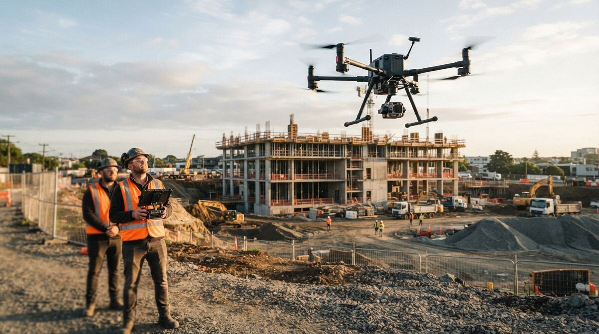
The DJI Matrice 30T is a folding enterprise drone that carries a 12MP wide camera, a 48MP zoom camera, a 640 x 512 thermal imager and a laser rangefinder in one gimbal. It's good for scene and inspection mapping: the wide camera records 4K video for 3D models, and the IP55 airframe is sealed against dust and water.
The figures below come from DJI's official Matrice 30 series specifications. The M30 is the same aircraft without the thermal camera.
| Spec | DJI Matrice 30T |
|---|---|
| Wide camera | 1/2-inch CMOS, 12MP, 24 mm equivalent, f/2.8, 4K video |
| Zoom camera | 1/2-inch CMOS, 48MP, 113 to 405 mm equivalent, 4K video |
| Thermal camera | 640 x 512 uncooled VOx, 40 mm equivalent, 1280 x 1024 super-resolution mode |
| Laser rangefinder | 3 to 1,200 m measuring range |
| Max flight time | 41 minutes (36 minutes hover) |
| Weight | 3,770 g including two batteries |
| Weather | IP55, 12 m/s wind, -20 to 50 °C |
| RTK (real-time kinematic) positioning | 1 cm + 1 ppm horizontal when fixed |
| Max transmission (FCC) | 15 km |
Mapping forums often ask whether it can replace a dedicated survey drone. Its wide sensor is smaller than a 4/3 mapping camera and uses an electronic shutter, so fly it lower and slower. Detail scales with capture distance, and a close pass recovers the resolution a bigger sensor gets from higher up.
Does SkyeBrowse support the DJI M30 and M30T?
Yes. Both the M30 and the M30T are on the SkyeBrowse Flight App fully supported list, so they fly automated Orbit and WideBrowse missions. When a clip was flown manually, upload the .MP4 or .MOV with its .SRT telemetry file through Universal Upload instead.
Get the Flight App from the SkyeBrowse download page and confirm your controller pairing on the supported drones page. Support dates back to our 2022 M3T, M30T and M300 RTK post.
Orbit flies two automated circles around a scene smaller than an acre, such as a crash or a fire-damaged building. WideBrowse grids larger ground, with Cross Grids for structured scenes, Side Scan for facades, and Previous Flights to reload a mission for a site you revisit.
Manual clips need DJI's video subtitle option switched on, which writes the GPS .SRT file that georeferences the model. Either path ends in the browser-based drone mapping software.
What GSD does the M30T wide camera deliver at common altitudes?
Ground sample distance, or GSD, is the width of ground one pixel represents. Recording 4K on the M30T wide camera gives about 1.2 cm per pixel at 30 m, 2.3 cm at 60 m and 4.7 cm at 120 m. The thermal camera lands near 7.9 cm per pixel at 60 m.
GSD equals sensor width times altitude, divided by focal length times image width in pixels. Wide-camera inputs: 24 mm equivalent focal length, 36 mm equivalent sensor width, 3,840-pixel 4K frames. Thermal inputs: 12 µm pitch across 640 pixels behind the 9.1 mm lens. Use ground width to space grid lines.
| Altitude above ground | Wide camera GSD, 4K | Wide frame width on ground | Thermal GSD, 640 x 512 |
|---|---|---|---|
| 30 m (98 ft) | 1.2 cm/pixel | 45 m | 4.0 cm/pixel |
| 40 m (131 ft) | 1.6 cm/pixel | 60 m | 5.3 cm/pixel |
| 60 m (197 ft) | 2.3 cm/pixel | 90 m | 7.9 cm/pixel |
| 90 m (295 ft) | 3.5 cm/pixel | 135 m | 11.9 cm/pixel |
| 120 m (394 ft) | 4.7 cm/pixel | 180 m | 15.8 cm/pixel |
The 120 m row sits just under the 400 ft limit FAA Part 107 sets for commercial flights. The zoom camera resolves about 0.5 cm per pixel from 60 m at its widest setting, and its narrow view suits inspection close-ups.
What Orbit and WideBrowse settings work best on the M30T?
Map with the wide camera in 4K, keep the zoom locked, and set exposure and white balance manually before launch. Use Orbit for a single structure or a scene under an acre and WideBrowse for larger ground, adding Cross Grids for buildings and Side Scan for walls. Keep ground speed modest to limit blur.
A 1080p clip still processes, faster and at lower resolution, and manual exposure keeps texture even as the aircraft turns into the sun.
Blur appears once the drone moves more than about one pixel footprint while a frame is exposed. At 5 m/s with a 1/1000 s shutter, the M30T moves 0.5 cm per exposure, well inside the 2.3 cm footprint at 60 m. At 30 m the footprint shrinks to 1.2 cm, so slow down a little, since the electronic shutter also skews fast motion.
Hand-flown grids for Universal Upload need roughly 70 to 80 percent line overlap; move around the subject instead of panning, and keep sky, glass and water out of frame. If the job needs certified coordinates, pair the M30T's RTK with ground control and report against the ASPRS positional accuracy standards.
What is the DJI Matrice 30T used for in public safety and inspection?
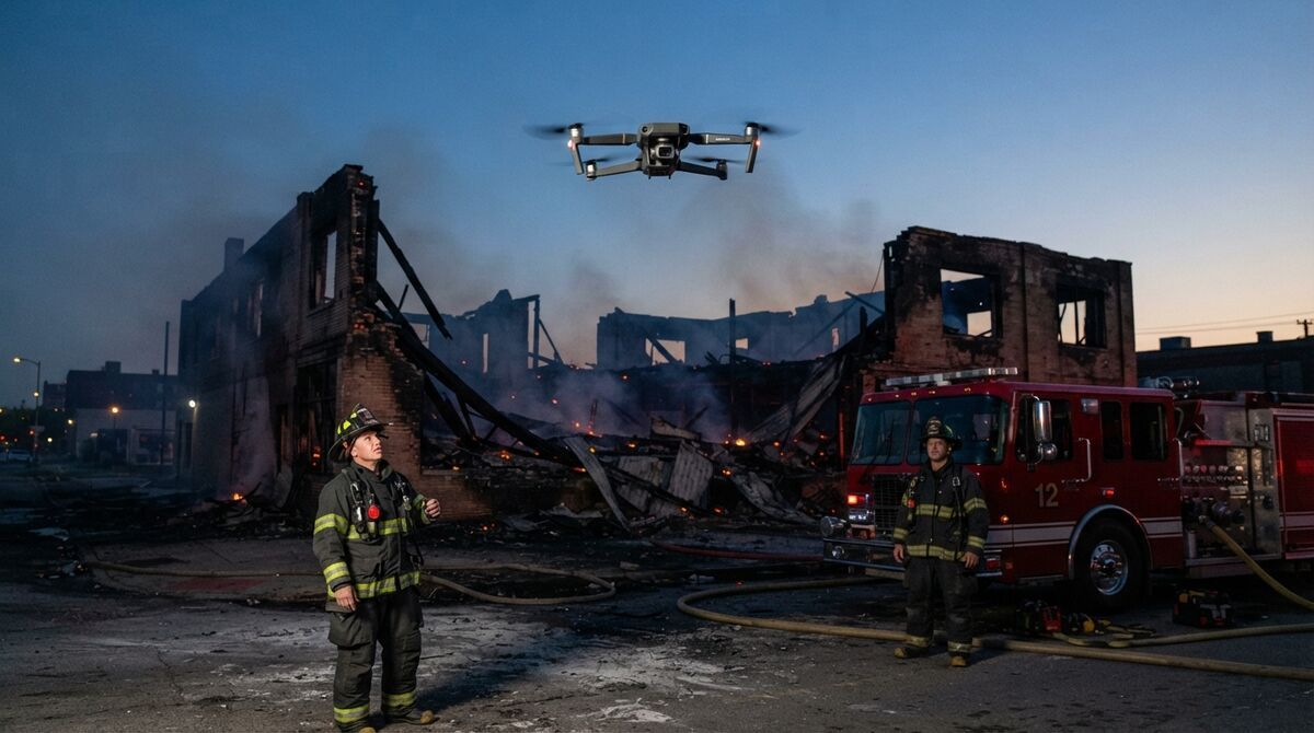
Fire departments, search teams, drone as first responder programs and utility inspectors use the M30T because one flight can find heat, read detail with the zoom and capture video for a 3D model. SkyeBrowse supports Fire Department scene, thermal and pre-plan workflows, with Thermal Mapping and Night Ops available depending on plan.
Fire scenes and pre-plans. The IP55 rating covers dust and water jets, so an Orbit flown in drizzle after knockdown still documents collapse zones. A daytime grid of a target hazard becomes a pre-plan model, and Public Safety & Enterprise adds Icons for NFPA-170-style hydrant and alarm panel markers. See our fire pre-plan 3D mapping guide.
Search and rescue. The pilot scans with thermal while the wide camera records the ground covered, so command sees cleared sectors. Our search and rescue operations guide covers planning.
Drone as first responder. A first-arriving aircraft records the scene before vehicles move; our DFR 3D mapping guide shows the workflow.
Night operations. Night Ops processing needs some light on scene, so use scene lighting or streetlights for an after-dark model.
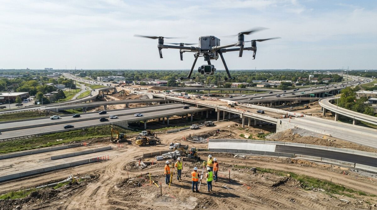
Utility and infrastructure inspection. The zoom reads insulators from a standoff distance, and a Side Scan pass turns a tower or facade into a 3D record. Our drone inspection services guide covers deliverables.
Should you choose the M30T, Mavic 3T, Matrice 4T or Matrice 400?
Choose the M30T when weather sealing and an integrated laser rangefinder matter most, the Mavic 3T for the lightest thermal kit, the Matrice 4T for a newer integrated thermal aircraft with a larger wide sensor, and the Matrice 400 for long missions with interchangeable payloads. All four fly automated SkyeBrowse missions in the Flight App.
| Aircraft | Max flight time | Wide camera | Thermal | Weather rating | Best mapping fit |
|---|---|---|---|---|---|
| Matrice 30T | 41 min | 12MP 1/2-inch | 640 x 512 | IP55 | Incident and inspection work in rain, wind and cold |
| Mavic 3T | 45 min | 48MP 1/2-inch | 640 x 512 | None listed | Most portable thermal plus 3D kit |
| Matrice 4T | 49 min | 48MP 1/1.3-inch | 640 x 512 | No standard rating | Current-generation thermal fleets |
| Matrice 400 | 59 min | Payload-dependent | 1280 x 1024 with H30T | IP55 | Long corridors and multi-sensor programs |
Weather sealing is the M30T's edge over the lighter integrated aircraft. For a compact option, read our guide to Mavic 3T mapping; the Matrice 4T and 4E mapping and Matrice 400 mapping guides cover the newer platforms, and our mapper drone roundup compares the field.
What does it cost to turn M30T video into a 3D model?
Uploading M30T footage and building models on Freemium costs nothing. For full resolution you pay per model: $24.99 for a Commercial model stored 3 months, $49.99 for a Pro model stored a year with exports, or $199 per model per year on Public Safety & Enterprise.
Commercial and Pro reconstruct at 8K with 0.5 inch accuracy, and annual billing drops them to $19.99 and $39.99; only Pro adds LAZ, GLB and GeoTIFF exports. Evidence teams get 16K Ultra processing at 0.1 inch on Public Safety & Enterprise, with CJIS compliance, chain of custody and unlimited users. Freemium organizations that have never had a paid plan can get a first Commercial model for $5. Compare options in our drone mapping app roundup or on the pricing page.
FAQ
Can the DJI M30T do mapping?
Yes. The M30T records 4K video on its 12MP wide camera, and the SkyeBrowse Flight App fully supports the M30 and M30T for automated Orbit and WideBrowse missions. The video becomes a measurable 3D model and an orthomosaic, a scale-correct top-down map, in the browser. Check your pairing on the supported drones list.
What is the difference between the DJI M30 and M30T for mapping?
The M30T adds a 640 x 512 thermal camera; the airframe, 12MP wide camera, 48MP zoom camera and laser rangefinder are the same on both. Mapping runs on the wide camera, so both aircraft build the same 3D models in SkyeBrowse.
What altitude should I fly the M30T for a 3D model?
Pick altitude from the detail you need. In 4K, the wide camera covers about 1.2 cm per pixel at 30 m, 2.3 cm at 60 m and 4.7 cm at 120 m. Fly lower for tighter measurements and stay under the FAA's 400 ft ceiling.