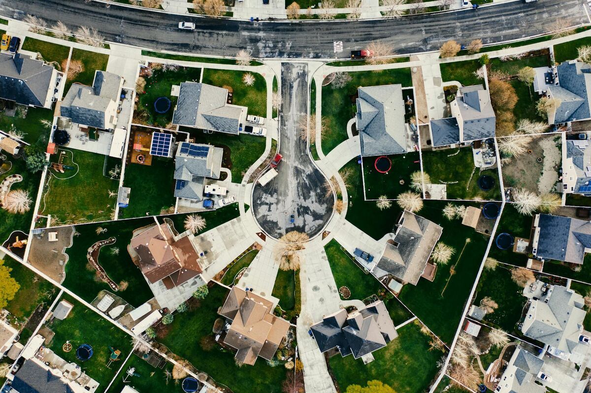
Choosing between RTK (real-time kinematic) and PPK (post-processed kinematic) positioning is one of the most consequential decisions in drone surveying. Both methods use carrier-phase GNSS corrections to deliver centimeter-level accuracy — far beyond what a standard GPS receiver can achieve — but they apply those corrections at different points in the workflow, which creates meaningful differences in reliability, equipment cost, and field complexity. This guide breaks down how each method works, when to use each one, and how platforms like SkyeBrowse fit into both workflows.

Key Takeaways
- RTK corrects GNSS positions in real time via a live data link to a base station or correction network; PPK applies the same corrections after the flight using logged observation data.
- PPK is more resilient to signal dropouts because the entire observation file is available for post-processing, while RTK loses accuracy the moment the correction link breaks.
- RTK offers immediate, on-site verification of positional quality — useful when you cannot afford a re-flight.
- Both methods can reduce or eliminate the need for ground control points, though checkpoint verification remains best practice under ASPRS accuracy standards.
- SkyeBrowse accepts embedded telemetry from both RTK and PPK drones, using GNSS sidecar files to georeference outputs without additional hardware.
Contents
- What is the difference between RTK and PPK positioning?
- How accurate are RTK and PPK drones compared to each other?
- When should you use RTK vs PPK for drone mapping?
- How does RTK or PPK affect ground control point requirements?
- How does SkyeBrowse work with RTK and PPK telemetry?
- FAQ
What is the difference between RTK and PPK positioning?
RTK (real-time kinematic) positioning streams GNSS correction data from a base station to the drone during flight, so each image or video frame is tagged with a corrected coordinate the moment it is captured. PPK (post-processed kinematic) records raw GNSS observations on both the drone and a base station, then merges and corrects those logs after the flight is complete. The end goal — centimeter-level georeferencing — is the same; the difference is when the math happens.
Standard GNSS receivers (including most consumer drones) rely on code-phase positioning, which delivers accuracy in the range of 1–3 meters. RTK and PPK both switch to carrier-phase tracking, where the receiver counts the wave cycles of the satellite signal rather than just decoding the coded message. The NOAA National Geodetic Survey describes carrier-phase GNSS as the foundation of all survey-grade positioning, capable of resolving positions to within 1–2 centimeters horizontally when atmospheric and multipath errors are properly managed.
The practical difference comes down to the correction link. An RTK system needs a continuous radio or cellular data link between the base station (or a network like NTRIP) and the drone throughout the entire flight. If that link drops — even briefly — the drone falls back to code-phase positioning until it reestablishes the fix, and any frames captured during the dropout carry reduced accuracy. PPK avoids this vulnerability entirely: because you are working with complete observation files after landing, a few seconds of sky obstruction or radio interference have no lasting effect on the final dataset.
How accurate are RTK and PPK drones compared to each other?
Under ideal conditions, RTK and PPK produce nearly identical results: horizontal accuracy of 1–3 centimeters and vertical accuracy of 2–5 centimeters relative to the base station. In real-world deployments with intermittent connectivity, forests, urban canyons, or long baselines, PPK consistently delivers more reliable accuracy because the correction is applied retrospectively across the complete observation log.
The accuracy ceiling for both methods is governed by the same physics: satellite geometry, atmospheric delays, and multipath reflections. The ASPRS Positional Accuracy Standards for Digital Geospatial Data require independent checkpoint verification regardless of how positions were collected — a reminder that reported accuracy from any positioning method should be validated against ground truth.
Surveyors on regulated projects — highway design, floodplain delineation, infrastructure as-builts — often prefer PPK because it produces a complete, auditable observation record that can be reprocessed if the base station coordinate is later revised.

When should you use RTK vs PPK for drone mapping?
Choose RTK when you need to confirm positional quality on-site before leaving the job, when a cellular or radio correction network is reliably available throughout the flight area, and when re-flying is either costly or impossible. Choose PPK when flying in areas with marginal connectivity, when baselines exceed a few kilometers, when you need an auditable observation record, or when mission-critical accuracy requirements cannot tolerate link dropouts.
The table below summarizes the key decision factors for survey professionals and drone operators:
| Factor | RTK | PPK |
|---|---|---|
| When corrections are applied | During flight (real time) | After flight (post-processing) |
| Connectivity requirement | Continuous link to base or NTRIP | None during flight; base log required post-flight |
| Resilience to signal dropout | Low — fix lost if link breaks | High — full observation log processed after landing |
| Typical horizontal accuracy | 1–3 cm (with stable fix) | 1–3 cm (reliably, even after dropouts) |
| Typical vertical accuracy | 2–5 cm | 2–5 cm |
| On-site quality verification | Yes — coordinates available immediately | No — results available after post-processing |
| Equipment cost | Higher (requires real-time datalink) | Moderate (base station logging only) |
| Best use cases | Urban surveys, client site visits, inspections where re-flight is expensive | Remote areas, long baselines, regulated deliverables, auditable workflows |
For most professional drone surveying applications, PPK is considered the more robust baseline. RTK is preferred when the survey area has dense NTRIP network coverage and the operator needs to hand the client a verified product before leaving the site. The USGS UAS program has published guidance noting that both approaches are acceptable for scientific mapping when properly validated.
How does RTK or PPK affect ground control point requirements?
A well-configured RTK or PPK drone can reduce the number of ground control points required on a project from 10 or more down to just a handful used as accuracy checkpoints, rather than control. However, eliminating GCPs entirely is only appropriate in specific circumstances — open terrain, strong satellite geometry, short baseline to a verified base station — and professional survey deliverables typically require at least three to five checkpoints regardless of the positioning method.
Ground control points serve two functions in a drone mapping workflow: they tie the model to a known coordinate system (control), and they provide an independent check on whether the model is accurate (verification). RTK and PPK handle the control function directly by embedding accurate coordinates into every captured frame. That eliminates the laborious process of placing, measuring, and distributing GCPs across the site before the flight — a significant time saving on large or difficult terrain.
What RTK and PPK cannot replace is independent verification. For regulated deliverables — right-of-way surveys, environmental permits, construction staking — surveyors still place a small number of checkpoints with independently measured coordinates and compare them against the model. The FAA's UAS integration framework reflects this principle: any georeferenced product used for design or legal purposes requires traceable, independently verified positional evidence. In practice, RTK and PPK reduce the checkpoint count from "enough to control the block" to three to five well-distributed verification points on a standard project.
How does SkyeBrowse work with RTK and PPK telemetry?
SkyeBrowse ingests telemetry sidecar files — DJI .SRT logs and Autel .ASS subtitle files — alongside the video upload, and uses the embedded GNSS data to georeference the resulting 3D model or orthomosaic. Whether those coordinates were collected with a standard GPS, an RTK fix, or a post-processed PPK solution, the platform uses whatever positional data is present to anchor the model in space.
For survey professionals, the practical implication is straightforward: if your drone logs RTK-corrected coordinates into the .SRT file during flight, those corrected positions flow directly into the SkyeBrowse cloud model without any additional steps. PPK workflows require one extra step — running the post-processing software to apply corrections to the observation log, then confirming that the corrected positions have been written back to the sidecar file before upload — but the upload process itself is identical.
SkyeBrowse's drone mapping software processes video into georeferenced outputs — LAZ point clouds, GeoTIFF orthomosaics, and GLB mesh models — entirely in the cloud with no desktop workstation required. Operators targeting sub-inch accuracy can use the Premium (8K) tier at 0.25 inch or Premium Advanced (16K) at 0.1 inch when paired with well-corrected GNSS data. The full drone compatibility list is at skyebrowse.com/supported-drones.

FAQ
Is RTK or PPK more accurate for drone surveying?
Both RTK and PPK can achieve centimeter-level horizontal accuracy (1–3 cm) under good conditions. PPK has a slight advantage in practice because corrections are applied in post-processing using complete GNSS observation logs, so brief signal interruptions during flight do not degrade the final result the way they can with RTK.
Can I use RTK or PPK instead of ground control points?
RTK and PPK significantly reduce the number of ground control points needed, but most survey-grade projects still use at least a few GCPs as checkpoints to verify absolute accuracy. In open terrain with strong satellite coverage, some operators eliminate GCPs entirely when using PPK; however, ASPRS accuracy standards recommend independent checkpoint verification regardless of the positioning method.
Does SkyeBrowse support RTK and PPK drones?
Yes. SkyeBrowse accepts telemetry files from RTK- and PPK-capable drones — including DJI .SRT sidecar files and Autel .ASS subtitle files — and uses the embedded GNSS data to georeference the 3D model or orthomosaic. Uploading the telemetry file alongside your video improves positional accuracy without any additional field equipment.
What is the difference between real-time kinematic and post-processed kinematic?
Real-time kinematic (RTK) positioning streams GNSS correction data to the drone during flight, tagging each captured frame with a corrected coordinate in the moment. Post-processed kinematic (PPK) records the raw observations and applies corrections after landing using a base station log. RTK gives you immediate quality confirmation; PPK gives you a more resilient workflow where dropouts during flight do not permanently degrade the dataset.
Do I need a base station for PPK drone mapping?
Yes — PPK requires a base station that logs raw GNSS observations throughout the flight. The base station can be a dedicated survey receiver you set up on a known or unknown point, or you can use a nearby Continuously Operating Reference Station (CORS) from the NOAA National Geodetic Survey network if one is within approximately 30–50 kilometers of the flight area.