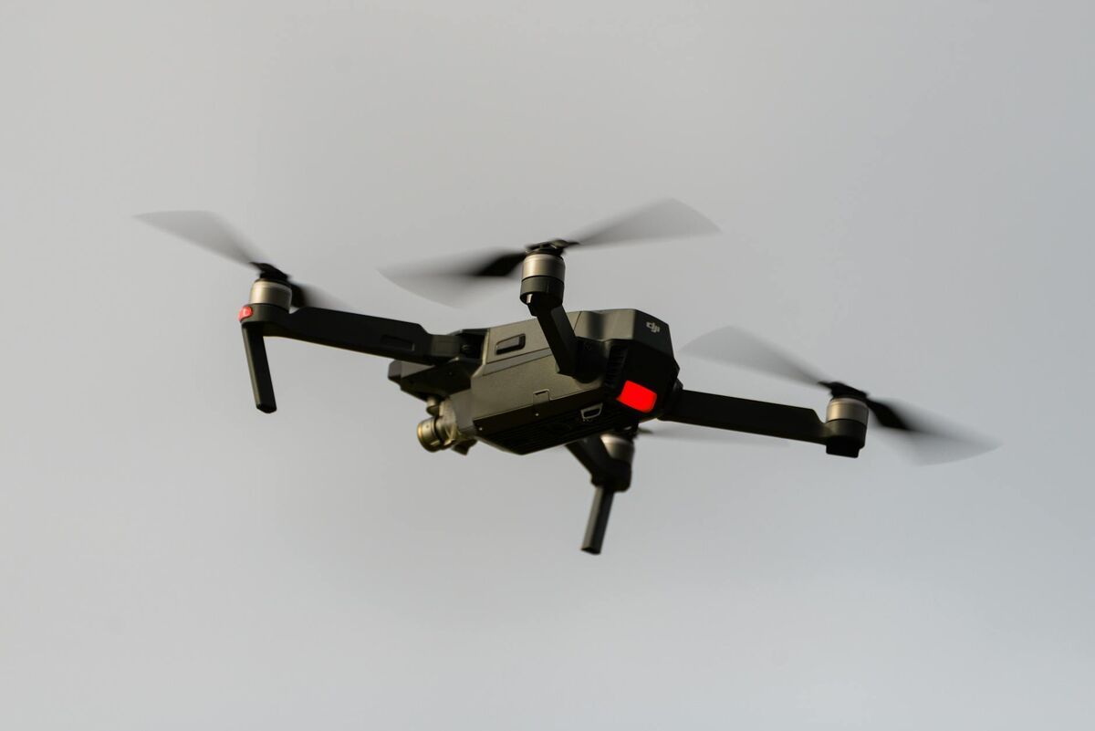
Drone insurance claims documentation is changing how adjusters assess property damage — replacing ladders and visual estimates with precise aerial data captured in minutes. By using unmanned aircraft to fly over damaged roofs, flooded properties, or wildfire-affected sites, claims teams generate spatially accurate records that are harder to dispute and far safer to collect. This guide covers the full workflow: why drones matter for insurance adjusters, how to turn drone footage into a measurable 3D model, and what tools make the process defensible in court.
Key Takeaways
- Drone property damage assessment reduces adjuster roof-access risk and speeds initial documentation from hours to under 30 minutes.
- FAA Part 107 certification is required for commercial drone insurance inspections — carriers and third-party operators must comply with federal airspace rules.
- Photogrammetry (the process of extracting measurements from overlapping images) turns standard drone video into georeferenced 3D models with inch-level accuracy.
- A single drone flight can document roof area, debris extent, structural deformation, and water intrusion in one pass — reducing the need for return visits.
- 3D models exported as GLB meshes or LAZ point clouds provide a permanent, measurable record that supports both claims resolution and dispute defense.
Contents
- Why are drones changing property damage assessment?
- What does a drone insurance documentation workflow look like?
- How does 3D mapping create defensible claims evidence?
- What are the FAA rules for drone insurance inspections?
- How does SkyeBrowse fit into a claims workflow?
- FAQ
Why are drones changing property damage assessment?
Traditional property damage assessment puts adjusters on rooftops, in flood zones, and near unstable structures — all high-risk positions. Drones remove the need for physical access by capturing comprehensive aerial imagery from a safe standoff distance. The result is faster documentation, reduced liability exposure, and a richer data record than a walk-and-note inspection can produce.
The scale of the problem is significant. The National Association of Insurance Commissioners (NAIC) tracks billions of dollars in property losses filed each year following major weather events. After hurricanes, wildfires, and hailstorms, the surge in simultaneous claims strains adjuster capacity, and delays directly affect policyholder satisfaction and regulatory compliance timelines. Drone inspections let a single adjuster document multiple properties in a day rather than one or two.
Beyond speed, the quality of documentation improves. A drone captures every visible surface — ridge lines, valleys, downspouts, flashing, skylights, solar panels — in a systematic grid or orbit that a human on a ladder cannot replicate. The Insurance Information Institute notes that emerging technologies including drones and AI are reshaping how carriers handle property claims, with faster cycle times and fewer contested assessments as measurable outcomes. For insurance claims documentation, aerial imagery anchored to GPS coordinates sets a new standard for accuracy and completeness.
What does a drone insurance documentation workflow look like?
A typical drone insurance documentation workflow has four stages: pre-flight planning, the aerial capture flight, cloud-based 3D processing, and delivery of the final report with model and measurements. Most of this process can be completed the same day, with the 3D model ready before the adjuster has left the property.
Pre-flight planning involves confirming airspace authorization (LAANC for controlled airspace), checking weather, and identifying no-fly zones near the loss site. Once cleared, the adjuster or certified operator flies a structured orbit or grid pattern at 100–200 feet altitude, capturing overlapping video or photos of the entire property. Overlap of at least 70–80% between frames is needed for photogrammetry software to reconstruct accurate geometry.
After the flight, footage is uploaded to a cloud processing platform. The software uses photogrammetry — the science of extracting measurements and 3D geometry from overlapping 2D images — to generate an orthomosaic map (a flat, georeferenced aerial image stitched from all frames) and a 3D mesh model of the structure. Adjusters can then measure roof area, calculate debris coverage, and document deformation directly on the model, producing outputs that feed directly into the claims estimate.
For a practical overview of the aerial capture side, see our guide to drone roof inspection covering flight patterns, overlap settings, and resolution recommendations.
How does 3D mapping create defensible claims evidence?
A georeferenced 3D model is defensible because it is reproducible, timestamped, and spatially anchored to real-world coordinates. Unlike a set of flat photos, a 3D model lets any reviewer measure the same feature independently and get the same result. That consistency is what makes drone-generated documentation persuasive in disputes and litigation.
When a property owner challenges a damage assessment — arguing, for example, that the adjuster underestimated the area of impacted roofing — a 3D model provides an objective record that both parties can interrogate. The adjuster can share a link to the hosted model, allowing the policyholder, public adjuster, or attorney to take their own measurements. If the measurements match, the dispute often resolves without escalation.
Chain of custody also matters. Platforms that log flight metadata, GPS telemetry, and processing timestamps create an audit trail showing when the data was captured, by whom, and how the model was generated. Point cloud exports in LAZ format and mesh exports in GLB preserve this metadata in standard formats that third-party software can verify. Pair this with FAA-registered flight logs, and the documentation package becomes difficult to challenge on procedural grounds. For a comparison of roof inspection software platforms that support this kind of export, there are several options designed for adjuster workflows.
What are the FAA rules for drone insurance inspections?
All commercial drone operations — including insurance property inspections — require the pilot to hold an FAA Part 107 Remote Pilot Certificate. Part 107 sets rules on altitude limits (400 feet AGL), airspace authorization, and visual line-of-sight requirements. Carriers and adjusters using drones must ensure their operators are certified and that each flight is conducted in compliance with applicable airspace restrictions.
The FAA's Part 107 certification requires passing a 60-question aeronautical knowledge test administered at an FAA-approved testing center. The certificate must be renewed every 24 months. Pilots operating near airports or in controlled airspace must request authorization through LAANC (Low Altitude Authorization and Notification Capability), the FAA's automated approval system, which typically grants clearance within seconds for pre-approved zones.
Insurance carriers adopting drone programs have two common paths: hire Part 107-certified independent operators, or train existing adjusters to obtain the certificate. The second path is increasingly popular because it keeps the inspection process in-house and eliminates scheduling friction during high-volume claim events like post-storm surges. The FAA's Part 107 waiver framework also allows certain operations beyond standard rules — such as flying at night or over people — when the operator can demonstrate safety protocols for the specific scenario.
Compliance extends beyond the FAA. Some states have enacted additional drone privacy statutes, and certain homeowners associations have local restrictions. Adjusters should confirm state-level requirements and obtain property owner permission before flying over private land, even when federal airspace rules are satisfied.
How does SkyeBrowse fit into a claims workflow?
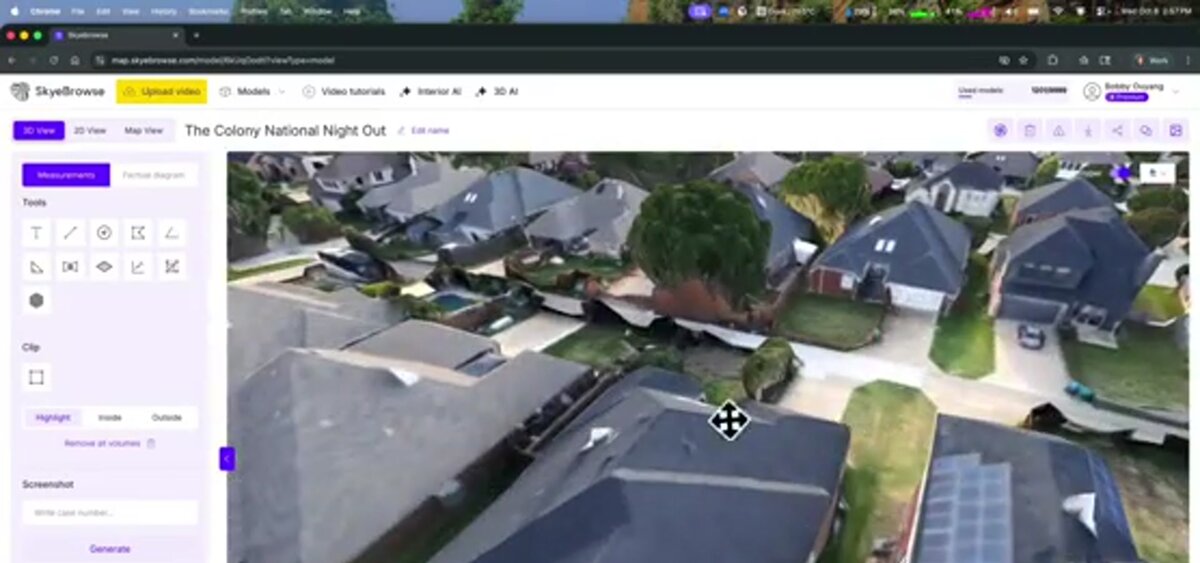
SkyeBrowse is a cloud-based videogrammetry platform that converts drone video directly into 3D models and 2D maps. For insurance adjusters, the key advantage is speed: a model can be generated from video uploaded on-site, so adjusters have a measurable 3D record of the property before they finish the day's work — without needing desktop processing hardware or GIS expertise.
The workflow is upload-and-process. After flying the property, the adjuster uploads the video file (MP4 or MOV) to app.skyebrowse.com through the mobile app or browser. SkyeBrowse's cloud processing handles the photogrammetry automatically. For standard property documentation, the Lite tier produces models accurate to approximately 2–6 inches — sufficient for measuring roof area, footprint, and visible damage extent. Adjusters who need sub-inch precision for structural analysis or litigation support can choose Premium processing, which runs at higher resolution and produces point clouds exportable to LAZ format.
Outputs include a navigable 3D mesh, an orthomosaic map for top-down measurement, and a point cloud for advanced analysis. All three can be shared via a hosted link, so the claims file, underwriter, or opposing counsel can access the same spatial data. For a roundup of platforms built around adjuster needs, see our guide to insurance adjuster tools.
SkyeBrowse is used by over 1,200 agencies — primarily in public safety — which means the platform is battle-tested in high-stakes documentation environments where accuracy and chain of custody are non-negotiable. That same infrastructure translates directly to insurance workflows where documentation must hold up under scrutiny.

FAQ
Do drone pilots need a license to fly for insurance claims?
Yes. Commercial drone operations, including insurance property inspections, require FAA Part 107 certification. The remote pilot certificate requires passing a knowledge test and following FAA airspace authorization rules. Some carriers hire certified third-party drone operators; others train adjusters to obtain the certificate directly. Full details are available at the FAA Part 107 page.
How accurate are drone measurements for property damage claims?
Accuracy depends on the processing platform and flight technique. Consumer-grade photogrammetry typically reaches 2–6 inch accuracy, while professional platforms with high-resolution processing can achieve sub-inch precision. For most property damage claims — roof area calculations, debris extent, structural footprint — 2-inch accuracy is more than sufficient for defensible documentation.
Can drone documentation be used in insurance litigation?
Georeferenced 3D models and orthomosaic maps produced from drone footage are increasingly accepted as evidence in property damage disputes and litigation. The key requirements are a documented chain of custody, certified pilot credentials, timestamped flight logs, and a processing platform that records metadata. Exporting models in standard formats such as GLB or LAZ point clouds helps ensure the documentation holds up under scrutiny.