Drone LiDAR (short for Light Detection and Ranging) is a remote-sensing technique that mounts a laser scanning sensor on a UAV to measure precise distances to the ground and objects below. Unlike photogrammetry, which derives 3D geometry from overlapping photographs, drone LiDAR fires rapid pulses of laser light and records the return time of each pulse to build a dense point cloud. Understanding when a drone lidar survey is the right tool, and when a faster, cheaper alternative works just as well, can save a project tens of thousands of dollars. For an overview of all aerial data collection methods, see our aerial mapping guide.
Key Takeaways
- Drone LiDAR fires laser pulses from a UAV to build dense point clouds with 2-15 cm accuracy, depending on GCPs and GPS correction
- LiDAR excels at vegetation penetration, nighttime operations, and high-density corridor surveys where cameras cannot see the ground
- LiDAR payloads cost $50K-$150K vs. under $2K for a camera drone using videogrammetry
- For most construction, insurance, and public safety workflows, videogrammetry delivers comparable accuracy at a fraction of the cost and setup time
Contents
- How does drone LiDAR work?
- What accuracy can drone LiDAR achieve?
- When does LiDAR beat photogrammetry?
- When does photogrammetry or videogrammetry beat LiDAR?
- What industries use drone LiDAR mapping?
- FAQ
How does drone LiDAR work?
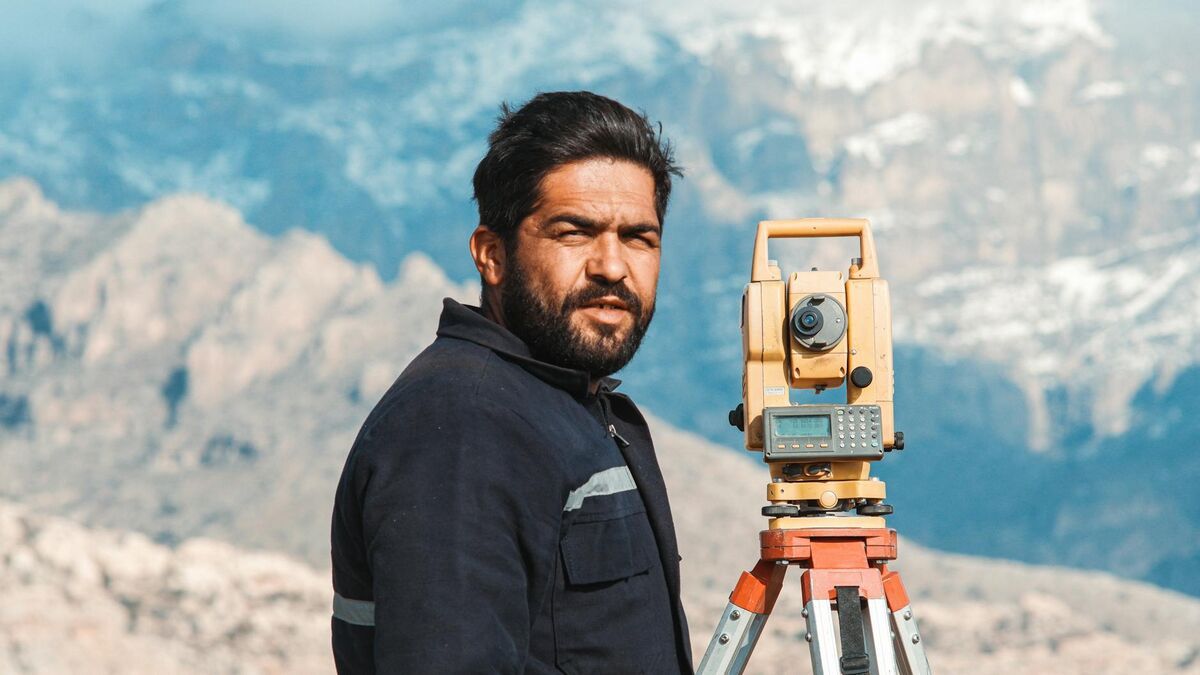
A drone LiDAR system fires thousands to hundreds of thousands of laser pulses per second from a rotating or oscillating mirror. Each pulse travels to a surface, reflects, and returns to the sensor. The sensor's built-in clock records the travel time to calculate precise range. Combined with GPS/IMU data, every pulse becomes a georeferenced 3D point, producing a dense point cloud that represents the scanned environment.
The key hardware components are the LiDAR sensor head, an inertial measurement unit (IMU), and a high-accuracy GNSS receiver. The IMU tracks the drone's orientation moment to moment, correcting for roll, pitch, and yaw so that each laser pulse is placed in the correct position in world coordinates. Survey-grade systems often add Real-Time Kinematic (RTK) or Post-Processed Kinematic (PPK) GPS to further tighten georeferencing.
Modern drone LiDAR sensors such as the Velodyne VLP-16, Livox Mid-70, or Riegl miniVUX-1UAV emit between 100,000 and 1.2 million points per second. Flight altitude, scan speed, and point density settings determine how fine-grained the resulting point cloud is. The American Society for Photogrammetry and Remote Sensing (ASPRS) publishes positional accuracy standards that govern how these datasets must be collected and validated for engineering and survey use.
The outputs are typically delivered as LAZ or LAS files, compressed point cloud formats compatible with software like ArcGIS, QGIS, CloudCompare, and Autodesk ReCap.
What accuracy can drone LiDAR achieve?
Professional drone LiDAR systems typically achieve vertical accuracy of 5–15 cm and horizontal accuracy of 10–20 cm without ground control points. RTK/PPK GPS correction and careful ground control can push vertical accuracy to 2–5 cm. The USGS Lidar Base Specification Version 2 defines quality levels from QL0 (highest density) to QL3 for geospatial datasets.
Accuracy in drone LiDAR surveys depends on four variables: flight altitude (lower is more accurate), point density (higher density allows better surface fitting), IMU quality (drift accumulates over long flights), and ground control network (GCPs validate and improve absolute accuracy). For a comparison of how ground control affects photogrammetry-based workflows, see the ground control points guide.
Raw LiDAR accuracy without GCPs typically sits in the 5–10 cm vertical range for well-calibrated systems at 50–80 m altitude. Adding GCPs or RTK corrections can deliver 2–3 cm vertical accuracy. At that level, drone LiDAR competes with terrestrial laser scanners for corridor surveys, floodplain mapping, and structural inspection.
It is worth noting that ASPRS accuracy classes define "RMSEz," the root mean square error in the vertical dimension against independent check points. Survey buyers should request this metric rather than relying on manufacturer marketing claims alone.

When does LiDAR beat photogrammetry?
LiDAR outperforms photogrammetry in three specific scenarios: dense vegetation that blocks camera views of the ground, low-light or nighttime operations where cameras cannot collect usable imagery, and projects requiring sub-centimeter point spacing across large linear corridors. In those situations, the laser's ability to penetrate canopy gaps and operate independently of ambient light is a decisive advantage.
The vegetation penetration advantage is the most cited reason practitioners choose lidar drone mapping over image-based methods. A photogrammetric reconstruction can only model surfaces it can see in photos. Dense forest canopy creates a data void where ground elevation should be. LiDAR pulses that find gaps between leaves and branches return ground hits, allowing a digital terrain model (DTM) to be computed beneath the canopy. This matters enormously for forestry inventory, floodplain mapping, pipeline right-of-way surveys, and archaeological site documentation under tree cover.
The second advantage is illumination independence. Drone cameras need daylight; LiDAR lasers do not. Night infrastructure inspections, tunnel surveys, and shadowed canyon mapping are practical with LiDAR and difficult or impossible with photogrammetry.
Third, LiDAR delivers extremely high point density over long linear corridors (power lines, railways, roads) where photogrammetry flight paths become cumbersome to manage. For a deeper comparison of when each technology is the right choice, see the LiDAR vs photogrammetry comparison.
When does photogrammetry or videogrammetry beat LiDAR?
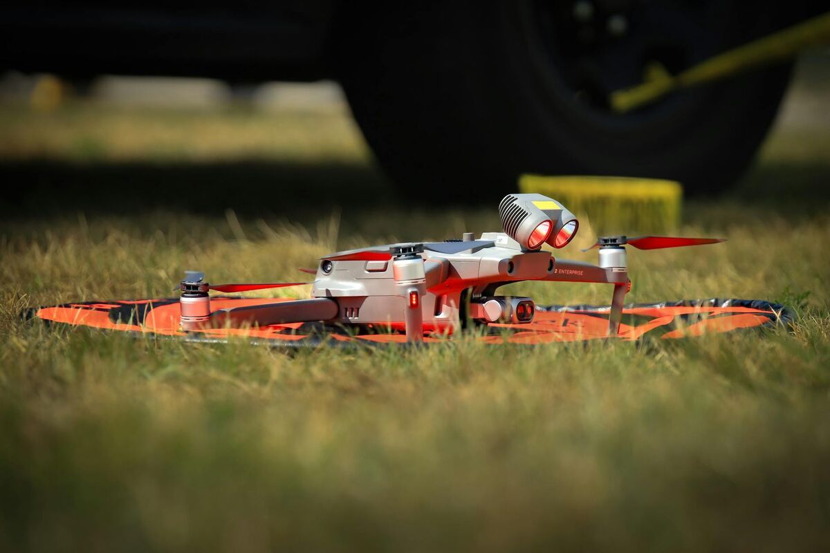
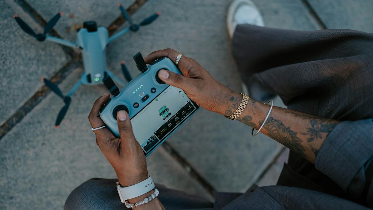
Photogrammetry and videogrammetry beat LiDAR on cost, speed, color data, and accessibility. A LiDAR payload alone costs $50,000–$150,000, while a capable camera drone costs under $2,000. Videogrammetry platforms like SkyeBrowse process standard drone video into accurate 3D models in roughly two minutes, with no specialized hardware required.
The equipment cost gap is enormous. Entry-level drone LiDAR packages (sensor, compatible UAV, IMU, software license) routinely exceed $100,000. By contrast, a DJI Mavic 3 Enterprise or similar camera drone costs $2,000–$6,000 and can fly the same project area. For applications where vegetation penetration and nighttime capture are not requirements, the accuracy difference between LiDAR and image-based mapping is negligible in practice.
Photogrammetry and videogrammetry also produce full-color imagery as part of the output. LiDAR point clouds carry intensity values but no color; a separate RGB camera pass is often added, increasing complexity and cost further. For construction progress documentation, insurance claims, roof inspections, and public safety documentation, color-accurate 3D models tell a richer story than monochrome point clouds.
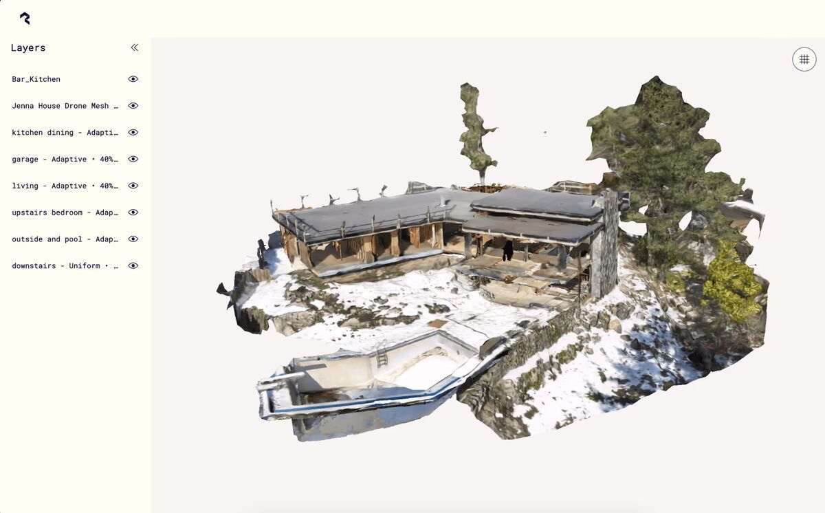
SkyeBrowse is a cloud-based videogrammetry platform, meaning it derives 3D maps and models from drone video rather than photographs, and it reaches Premium accuracy of 0.25 inch (8K processing) and Premium Advanced accuracy of 0.1 inch (16K, with AI moving-object removal). Videogrammetry accuracy scales with capture distance: flying closer to the roofline or corridor gets a Premium or Premium Advanced model to survey-grade numbers without a laser payload. A pilot uploads an .MP4 or .MOV file captured on a standard consumer drone, and the model is ready in approximately two minutes on secure, US-hosted cloud infrastructure. No desktop hardware, no LiDAR payload, no six-figure equipment budget. For most construction, insurance, public safety, and inspection use cases, that is the smarter tradeoff. Learn more about how drone mapping works in the drone mapping guide and the drone surveying guide.
What industries use drone LiDAR mapping?
The primary industries using drone LiDAR are forestry and natural resources, utility and energy corridor inspection, transportation and civil engineering, flood risk and hydrology, and precision agriculture. Each of these sectors faces at least one scenario (vegetation penetration, corridor length, or regulatory accuracy requirements) where LiDAR's characteristics justify its cost premium.
Forestry and timber companies use drone LiDAR to estimate canopy height, stand volume, and biomass without manually sampling every acre. The ability to separate first returns (canopy top) from last returns (ground) is essential for computing canopy height models.
Utility companies scan transmission line corridors to detect vegetation encroachment, sag in conductors, and structural anomalies on towers. A single LiDAR flight can survey dozens of miles of line in a day, replacing weeks of ground-based inspection. For projects focused on specific infrastructure assets, see our guide to bridge and roadway inspections using drone-based survey methods.
Transportation agencies use drone LiDAR for road and bridge as-built surveys, embankment change detection, and drainage modeling. The FHWA and state DOTs increasingly accept LiDAR datasets as primary survey deliverables for bridge inspection and corridor studies.
Hydrology and flood modeling require bare-earth digital terrain models to calculate water flow paths accurately. LiDAR is the accepted standard for FEMA floodplain mapping, where canopy penetration and vertical accuracy to 10 cm are minimum requirements.
For projects that do not require vegetation penetration or nighttime capture, videogrammetry delivers comparable accuracy at a fraction of the cost and setup time. SkyeBrowse exports LAZ point clouds, GeoTIFF orthomosaics, and GLB 3D meshes (the same deliverable formats as LiDAR workflows), making it a direct drop-in for many use cases without the payload overhead. Teams that need fast scene documentation for inspections can also explore drone inspection services as a cost-effective alternative to LiDAR-equipped platforms.

FAQ
How accurate is drone LiDAR?
Professional drone LiDAR systems typically achieve vertical accuracy of 5–15 cm without ground control points. With RTK/PPK correction and GCPs, vertical accuracy can reach 2–5 cm. The USGS Lidar Base Specification defines quality levels from QL0 to QL3. For photogrammetry-based workflows, see the ground control points guide for how GCPs affect accuracy in image-based surveys.
How much does a drone LiDAR payload cost?
Drone LiDAR payloads range from approximately $50,000 for entry-level systems to $150,000 or more for survey-grade sensors. Integrating a compatible UAV, IMU, and software typically pushes total system cost past $100,000–$200,000. Camera-based videogrammetry systems like SkyeBrowse start at $99 per model credit using a standard drone you may already own, roughly 99% less capital outlay for projects that do not require LiDAR-specific capabilities.
Can drone LiDAR work at night?
Yes. LiDAR sensors emit their own light source and do not depend on ambient illumination, making night and low-light operations feasible. This is one of the primary advantages over photogrammetry, which requires sufficient ambient light for cameras to produce usable imagery. However, nighttime LiDAR flights still require FAA Part 107 nighttime authorization or a waiver in the United States.