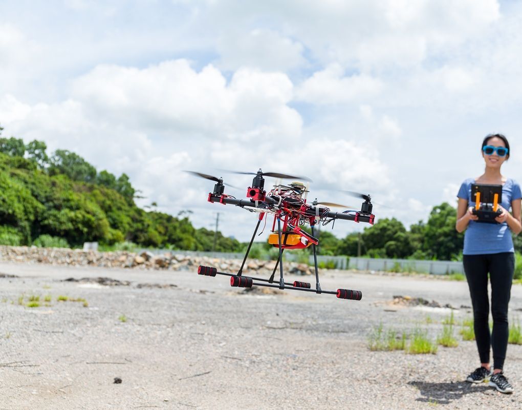
Fire department drone programs need pre-incident facility intelligence, post-fire origin investigation documentation, and training support across diverse operational scenarios. SkyeBrowse converts fire department drone and body-worn camera video into detailed 3D models in minutes, supporting pre-planning, fire investigation, and after-action reviews without specialized photogrammetry expertise.
Contents
- Why do fire departments use drone videogrammetry?
- How does drone capture support pre-incident planning?
- How does videogrammetry document fire origin and cause?
- How Do Drones Support Fire Investigation and Arson Cases?
- How does secure storage support investigation records?
- How do fire department drones enhance training?
- Get a SkyeBrowse quote
Why Do Fire Departments Use Drone Videogrammetry?
Traditional pre-incident planning relies on hand-drawn sketches, static photos, and outdated floor plans that don't reflect current facility conditions. When structure fires occur, firefighters enter buildings with incomplete spatial intelligence—guessing at interior layouts, hazard locations, and access points.
Videogrammetry lets fire departments capture target hazards proactively—schools, hospitals, industrial facilities, high-rises—then process walkthrough video into navigable 3D models within 10 minutes. Crews review facility models during shift briefings and load them onto tablets for on-scene reference.
How Does Drone Capture Support Pre-Incident Planning?
SkyeBrowse accepts video from any source: drones for exterior reconnaissance, smartphones for interior walkthroughs, body-worn cameras for confined space documentation. For pre-incident planning, firefighters walk target facilities during inspection visits, capture video continuously, then upload for processing.
The resulting 3D model preserves spatial relationships: stairwell locations, fire protection system components, hazmat storage areas, utility shutoffs. Crews navigate the model interactively—measuring egress distances, identifying ventilation points, and planning primary attack routes before dispatch tones ever sound.
Processing speed is approximately 1:1—a 7-minute facility walkthrough returns a usable model in about 7 minutes. That turnaround lets departments build comprehensive pre-plan libraries without expensive specialized equipment or dedicated GIS staff.
For high-rise and large commercial structures, split captures by floor or wing. Process each section separately to keep model sizes manageable, then link them with annotations. That approach scales better than attempting to capture entire complexes in single massive datasets.
How Does Videogrammetry Document Fire Origin and Cause?
Premium Advanced delivers 16K resolution with 0.1 inch accuracy, suitable for arson investigation and origin determination. Fire patterns, char depths, and V-patterns render with forensic detail adequate for criminal prosecution and civil litigation.
The AI moving object removal feature eliminates firefighters, investigators, and overhaul crews from the final model—preserving only fire damage patterns and structural evidence. Defense attorneys can't challenge that documenting personnel contaminated the scene when the 3D model shows pristine post-fire conditions.
Premium provides 8K resolution with 0.25 inch accuracy, appropriate for routine fire investigation and insurance reporting. Burn pattern documentation, structural damage assessment, and point-of-origin analysis proceed with sufficient detail for most origin and cause determinations.
Lite serves large-loss incidents requiring rapid situational documentation. When commercial structures or multi-family dwellings suffer major fires, Lite captures overall damage extent quickly. Detailed Premium investigations follow in specific origin areas requiring forensic precision.
The LAZ point cloud exports to fire investigation software and CAD platforms. Investigators measure heat plume geometries, document ventilation patterns, and reconstruct fire progression using the same spatial dataset—ensuring analysis consistency across investigative teams.

How Do Drones Support Fire Investigation and Arson Cases?
Drone fire investigation gives fire marshals and arson units a complete, measurable 3D record of a fire scene captured before evidence is disturbed by overhaul or demolition. A drone orbits the structure post-fire, and the video processes into a scaled model showing char patterns, V-patterns, ventilation damage, and structural collapse geometry — all measurable to 0.1-inch accuracy. This spatial documentation supports origin and cause determinations, ATF joint investigations, and civil litigation without requiring investigators to return to a degrading scene.
For arson cases that proceed to criminal prosecution, the drone-derived 3D model provides demonstrative evidence that juries can navigate interactively in court. Defense attorneys challenging origin theory must contend with a precise spatial record rather than photographs taken from fixed positions. The AI moving object removal feature in SkyeBrowse's Premium Advanced tier eliminates overhaul crews from the final model, preserving only fire damage evidence and strengthening chain-of-custody arguments.
How Does Secure Storage Support Investigation Records?
AWS GovCloud (US) hosting provides long-term data retention. Premium tiers include 5-year guaranteed storage, supporting civil litigation timelines (typically 3-5 years) and criminal prosecution case files. When arson trials occur years after fire events, archived 3D models provide verifiable spatial evidence of original scene conditions.
For multi-jurisdictional investigations—state fire marshals, ATF, insurance SIU—controlled sharing allows all investigative parties to access scene models without emailing large files or managing custody transfers. Each agency accesses models via secure link with appropriate permission levels.
Audit trails document who accessed investigation data and when. For criminal defense discovery or civil liability cases, that chain of custody establishes evidence integrity and admissibility.
How Do Fire Department Drones Enhance Training?
Videogrammetry transforms routine operations into training scenarios. Capture structure fires during overhaul operations, then use the 3D models for company-level critiques—reviewing ventilation decisions, hose line placement, and search patterns based on actual incident geometry rather than memory.
Recruit training benefits from realistic facility models. When training on forcible entry, ladder placement, or search techniques, trainees practice on 3D models of actual district buildings—learning specific challenges they'll encounter on real calls rather than generic training props.
For promotional exams and officer development, videogrammetry-based scenarios provide standardized incident simulations. All candidates respond to the same structure fire model, evaluate identical tactical problems, and demonstrate decision-making skills against consistent conditions—improving exam fairness and validity.
Mutual aid coordination improves when neighboring departments share facility pre-plans. When structure fires require regional response, incoming companies access the same 3D facility models and arrive with actionable spatial intelligence instead of relying on radio descriptions from first-arriving crews.
Live fire training facilities benefit from temporal documentation. Capture training props after each burn evolution, track structural degradation, and schedule repairs based on quantified damage progression—extending facility lifespan and improving safety.
For apparatus positioning and aerial operations training, videogrammetry captures realistic scenarios: elevated rescue locations, ventilation access points, exposure protection geometries. Operators practice aerial device placement virtually before committing apparatus to high-risk positions.
Hazmat response teams use 3D models for incident planning. When chemical releases occur in industrial facilities, teams reference pre-captured facility models to identify product storage locations, ventilation systems, and evacuation routes—improving response speed and reducing entry team exposure.
Technical rescue operations benefit from facility intelligence. When confined space, trench, or structural collapse rescues occur, teams reference existing 3D models to understand access constraints, structural loading, and victim location possibilities—accelerating rescue planning.
Community risk reduction programs use videogrammetry for code enforcement documentation. Capture inspection findings spatially, document violations with georeferenced evidence, and track remediation progress using sequential models—improving compliance rates and reducing legal disputes.
Get a SkyeBrowse Quote
If fire department operations need better pre-incident intelligence, forensic investigation tools, and training scenario documentation, SkyeBrowse provides the workflow and accuracy for operational readiness.