Law enforcement and military tactical operations demand spatial intelligence tools that support mission planning, rehearsal, and after-action review. SWAT entries, warrant service, hostage rescue, and military operations benefit from 3D facility models showing room layouts, access points, and tactical considerations. The planning software you deploy determines whether teams enter with spatial familiarity or rely on outdated floor plans and verbal briefings.
Traditional mission planning uses architectural blueprints (often outdated), satellite imagery (roof-only views), and verbal intelligence from surveillance teams. These methods miss interior modifications, furniture placement affecting movement, and sight line obstructions impacting tactical positioning. Teams enter unfamiliar spaces relying on rapid adaptation—increasing officer risk and mission complexity.
Contents
- What building intelligence do tactical teams need?
- What platform capabilities support tactical applications?
- How does tactical planning software integrate with mission workflows?
- How do 3D models improve training and rehearsal?
- How does multi-agency coordination benefit from shared models?
- What operational security considerations apply?
- What is the cost-benefit of tactical planning software?
- Get a SkyeBrowse quote
What Building Intelligence Do Tactical Teams Need?
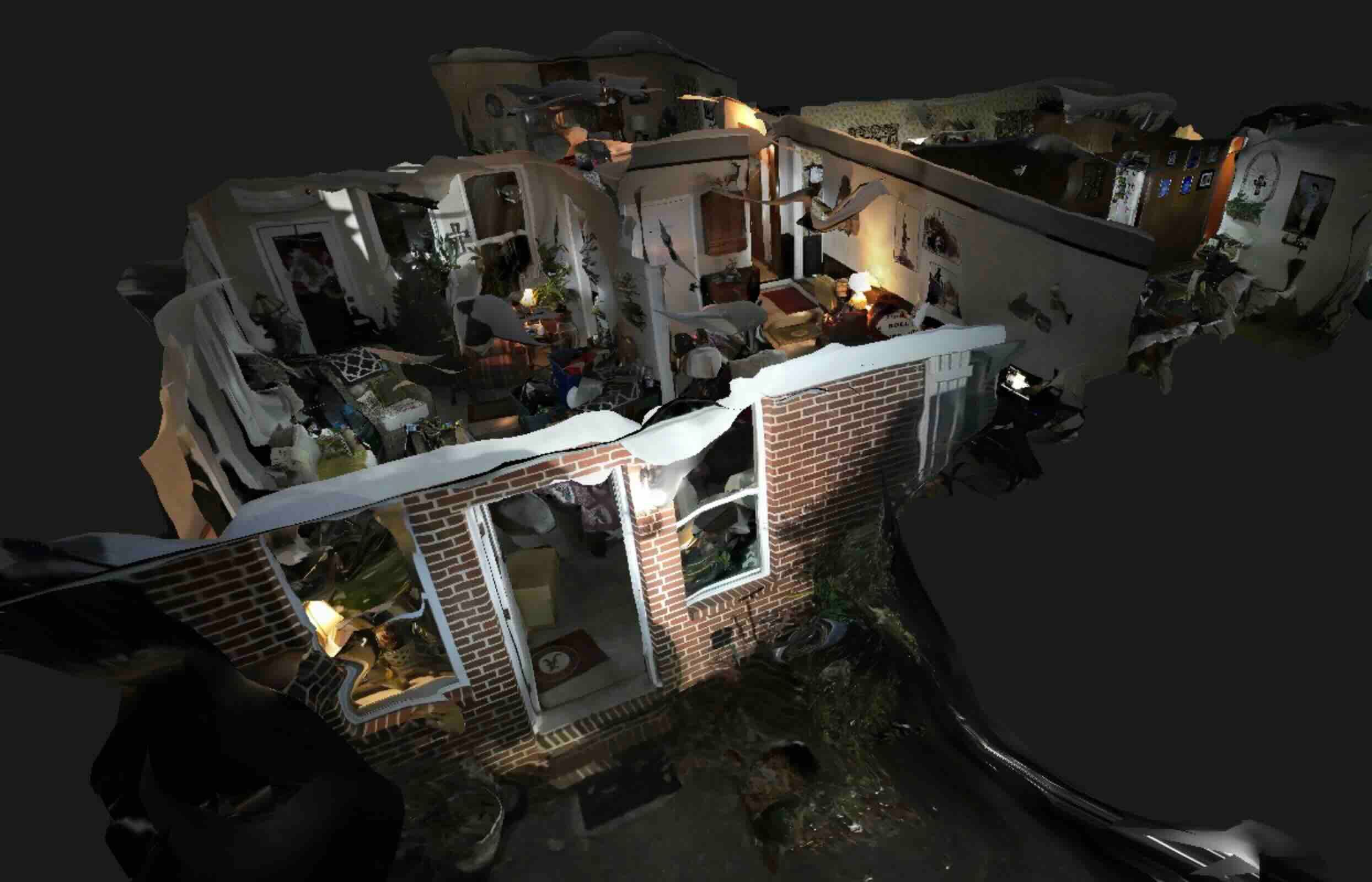
Spatial accuracy for tactical decisions: Entry teams need to know doorway widths (standard 36-inch vs security-rated), hallway lengths (determining approach distances), room dimensions (affecting ballistic considerations and team positioning), and ceiling heights (impacting equipment deployment). Outdated floor plans show original construction—not the interior modifications, partition additions, or furniture arrangements encountered during actual operations.
Access point identification: Primary entry locations, secondary access routes, emergency egress paths, and exterior window positions determine tactical approach planning. Models captured during surveillance document current conditions—security bars on windows, reinforced doors, accessible roof hatches. This intelligence prevents entry-point failures discovering fortifications mid-operation.
What Platform Capabilities Support Tactical Applications?
Offline operation requirement: Tactical operations occur in GPS-denied environments, communications-restricted zones, and locations where internet connectivity creates operational security risks. Models must download for offline viewing—eliminating dependencies on cloud connectivity during mission-critical planning. SkyeBrowse provides offline-capable viewers accessing models on tablets and laptops without internet requirements.
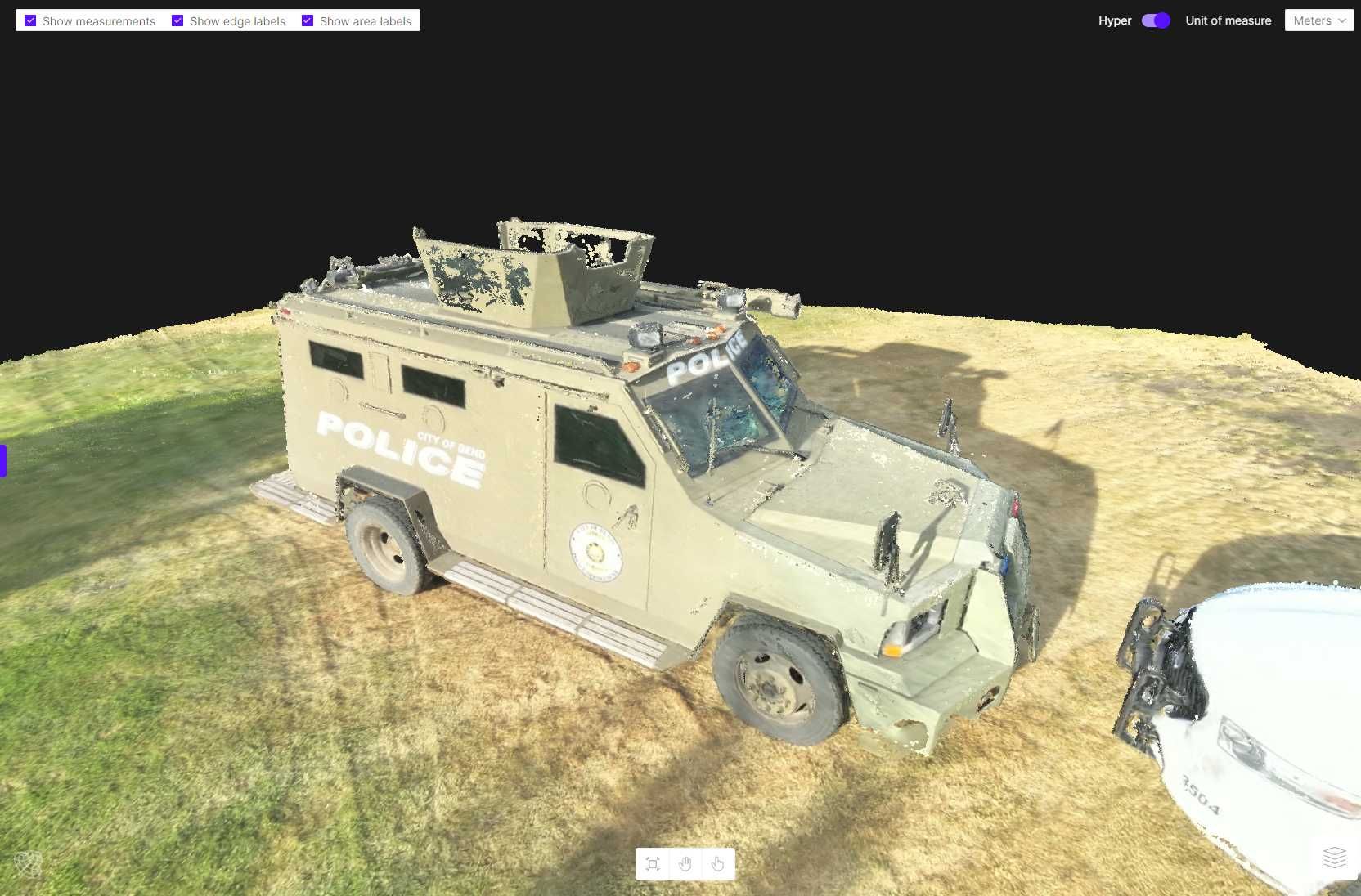
Measurement tools integration: Distance calculations support breaching equipment selection, room clearing estimates, and equipment positioning. Measure hallway lengths determining ballistic shield deployment distances. Calculate room dimensions informing flashbang quantities and deployment positions. Verify door widths confirming tactical shield maneuverability. These measurements inform tactical planning with quantified spatial intelligence rather than estimates.

How Does Tactical Planning Software Integrate with Mission Workflows?
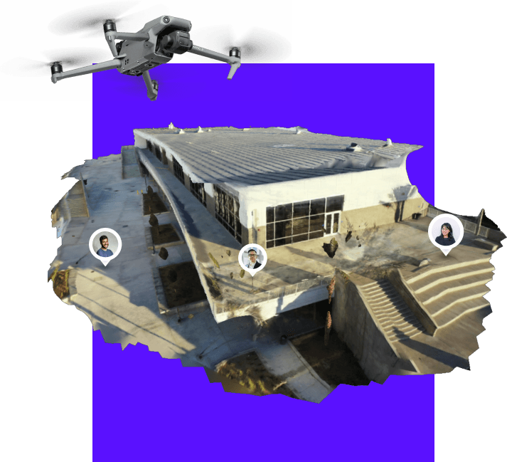
Reconnaissance phase: Surveillance teams capture target facilities during intelligence gathering. Smartphone video during external reconnaissance, drone overflights for roof and perimeter documentation, internal reconnaissance using body-worn cameras or concealed devices. Video uploads to secure processing—Premium tier (0.25-inch accuracy) for general tactical planning, Premium Advanced (0.1-inch) when measurement precision affects equipment selection or breach planning.
Processing timeline: 90-second reconnaissance video processes in approximately 90 seconds (1:1 ratio). Surveillance teams upload from field positions, operations officers access processed models within minutes. This rapid turnaround supports dynamic mission planning—intelligence gathered today informs operations planned for tomorrow.
How Do 3D Models Improve Training and Rehearsal?
Tabletop exercises without facility access: Conduct mission planning exercises using 3D models of facilities teams can't physically access. Instructors pose scenarios—"Hostage situation in this office suite, suspects control this hallway, what's your tactical approach?" Models provide spatial context that floor plans and photographs can't match. Teams develop tactical solutions based on realistic spatial constraints.
Training efficiency: Traditional scenario-based training requires facility access—vacant buildings, dedicated training structures, or training time in operational facilities. 3D models enable training anywhere—classroom environments, team briefing rooms, even remote video conferences. This accessibility increases training frequency and scenario diversity.
How Does Multi-Agency Coordination Benefit from Shared Models?
Regional SWAT collaboration: Counties and municipalities lacking organic SWAT capabilities request regional team assistance. Share target facility models via secure links—responding teams conduct mission planning using identical spatial intelligence. Mutual aid operations proceed with spatial familiarity even when assisting teams haven't previously operated in the jurisdiction.
Coordination advantage: Assisting teams arrive with mission understanding—facility layout, entry approach, objective location. This preparedness reduces pre-operation briefing time and increases operational effectiveness. Traditional mutual aid operations require extensive on-site briefings delaying response and risking intelligence gaps.
What Operational Security Considerations Apply?
Intelligence protection requirements: Tactical models reveal operational capabilities, planning methodologies, and target intelligence. Unauthorized access by adversaries provides counter-tactics intelligence or warns targets about pending operations. Protect models with same rigor applied to other operational intelligence.
Access control implementation: Password-protected models, user authentication requirements, and access logging create security layers. Share via platforms supporting access revocation—terminate access when personnel transfer, operations conclude, or security compromises occur. Avoid email attachments or consumer file-sharing platforms lacking control mechanisms.
What Is the Cost-Benefit of Tactical Planning Software?
Traditional tactical planning costs: Rely on architectural drawings (often unavailable or outdated), satellite imagery (roof views only), and verbal reconnaissance reports (subjective, detail-dependent on observer skill). Entry risk increases when spatial intelligence lacks accuracy—teams encounter unexpected layouts, obstructions, or access challenges during operations.
3D model investment economics: Reconnaissance captures requiring 5-10 minutes of smartphone or drone video process into measurement-ready models. Processing costs ($15-$75 depending on tier) provide spatial intelligence previously unavailable at any cost. Compare this minimal investment to operational risks—officer safety, mission success probability, legal defensibility of tactical decisions.
Get a SkyeBrowse Quote
Tactical operations demand spatial intelligence tools supporting mission planning and team rehearsal with current facility documentation rather than outdated architectural drawings and verbal reconnaissance reports. Whether your tactical teams execute SWAT warrants, active threat responses, military operations, or multi-agency task force missions, SkyeBrowse provides offline-capable viewers, measurement tools, and CJIS-compliant security features that tactical planning requires.
Reconnaissance teams capture facilities in 5-10 minutes using smartphones or drones during surveillance. Processing delivers measurement-ready models supporting entry planning, equipment selection, team positioning, and briefing preparation. Post-operation, models support after-action review documenting tactical decisions spatially—establishing defensible operational planning when reviewing boards evaluate officer actions.