Drone bridge inspection reduces lane closures and inspector exposure to traffic while producing detailed structural documentation. SkyeBrowse converts drone video into measurable 3D bridge models in minutes, letting engineers assess deck conditions, measure spalling, and document underside deterioration without bucket trucks or scaffolding—making it the fastest infrastructure inspection workflow available to transportation agencies today.
Contents
- Why do transportation agencies use drones for bridge inspection?
- How do drones capture bridge undersides without lane closures?
- How accurate is drone-based crack measurement for bridge inspection?
- How does drone bridge inspection meet federal compliance standards?
- How much do drone bridge inspections save vs traditional methods?
- Get a SkyeBrowse quote
Why Do Transportation Agencies Use Drones for Bridge Inspection?
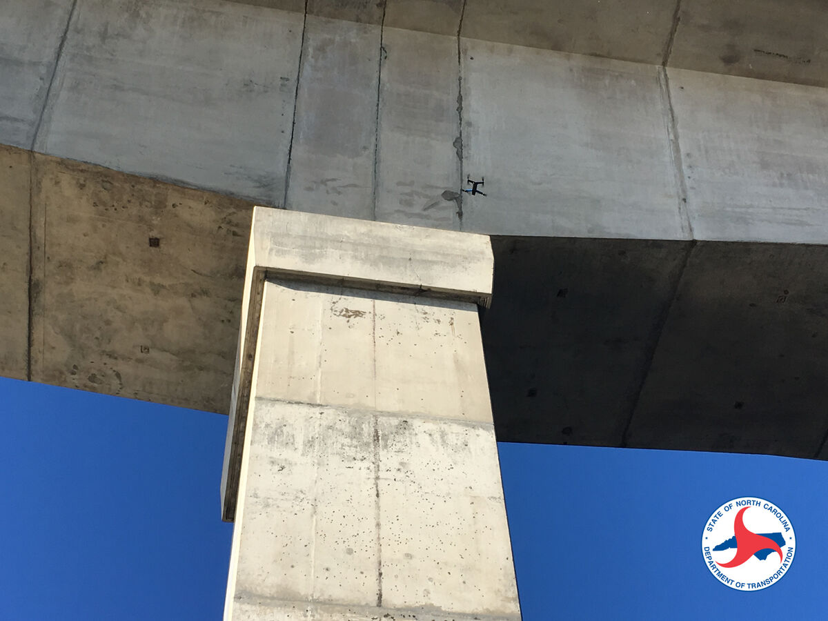
Drone bridge inspection replaces bucket trucks, lane closures, and multi-person crews with a single operator and a GPS-enabled drone. SkyeBrowse's videogrammetry engine turns continuous drone video into a measurable 3D model in about 15 minutes, eliminating fall hazards and traffic exposure for inspection staff.
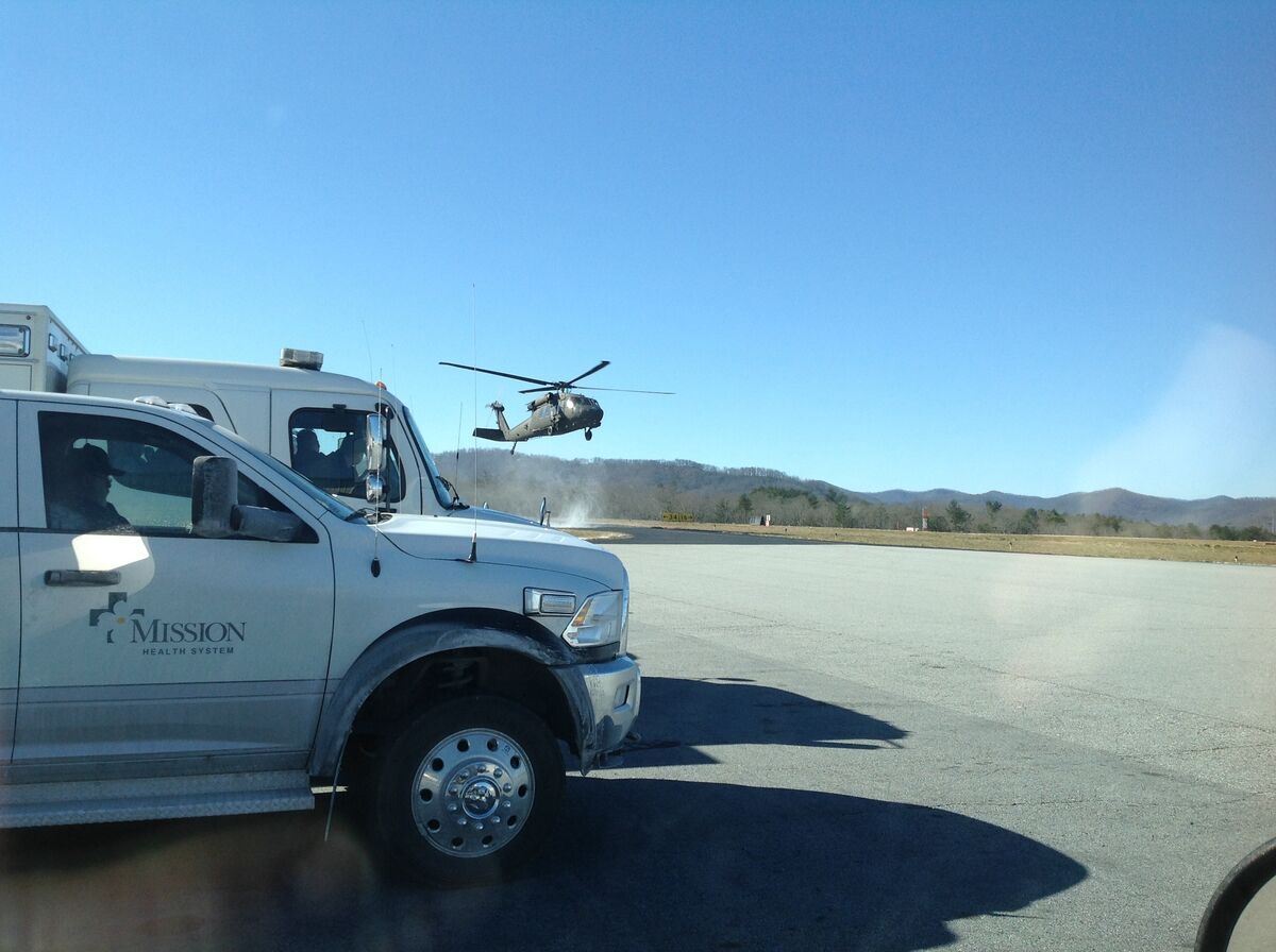
Traditional bridge inspections require bucket trucks, lane closures, traffic control, and inspectors accessing elevated or confined spaces. A single bridge inspection consumes 8-12 hours with four-person crews and costs $2,000-5,000 in labor and equipment—not counting traffic delays or public complaints about closures.
Videogrammetry replaces bucket trucks with drone flights. One operator captures deck, abutments, pier caps, and girder undersides in continuous video, uploads the footage, and receives a measurable 3D model within 15 minutes—no lane closures, no bucket truck positioning, no inspector exposure to fall hazards or traffic.
How Do Drones Capture Bridge Undersides Without Lane Closures?
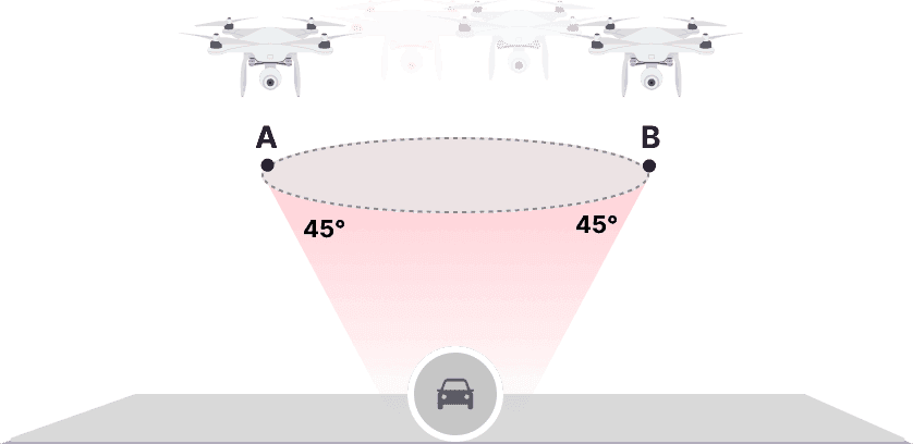
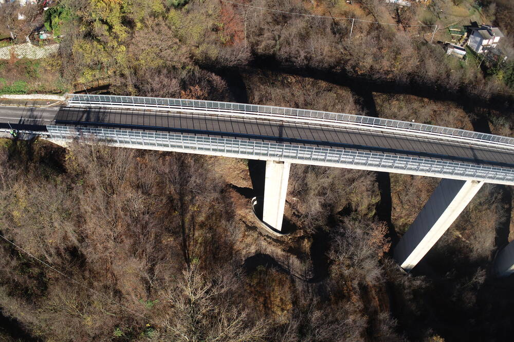
A bridge inspection drone flies manual passes beneath the deck from multiple angles, capturing beam undersides, bearing assemblies, and abutment walls without requiring traffic control or lane closures. Continuous video provides complete structural coverage that rivals what a bucket truck crew would document in hours.
SkyeBrowse accepts video from any GPS-enabled drone. For bridge inspections, fly manual passes beneath the deck from multiple angles, capturing beam undersides, bearing assemblies, and abutment walls. Continuous video provides complete structural coverage without the photo counting and mission planning required by traditional photogrammetry.
Processing speed is approximately 1:1—a 10-minute bridge capture returns a complete model in about 10 minutes. That turnaround lets inspection teams assess multiple bridges in single-day circuits instead of scheduling week-long campaigns with specialized equipment.
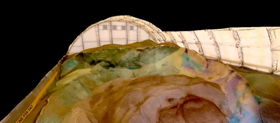
The 3D model preserves spatial relationships between structural elements, allowing engineers to measure crack lengths, quantify concrete spalling extent, and document corrosion patterns. Measurements extracted from the model—crack widths, spall depths, beam deflections—carry accuracy suitable for National Bridge Inspection Standards (NBIS) reporting.
The LAZ point cloud exports to bridge management systems like Bentley OpenBridge, Autodesk InfraWorks, and state DOT asset databases. Each structure's inspection data links directly to asset records, creating verifiable maintenance histories for federal compliance and grant applications.
How Accurate Is Drone-Based Crack Measurement for Bridge Inspection?
SkyeBrowse Premium Advanced delivers 16K resolution with 0.1 inch accuracy, sufficient for fracture-critical member documentation and hairline crack detection. For routine NBIS biennial inspections, Premium at 8K and 0.25 inch accuracy supports condition rating updates based on quantifiable deterioration rates.
Premium Advanced provides 16K resolution with 0.1 inch accuracy, suitable for fracture-critical member inspections and federal compliance documentation. Hairline cracks, rebar exposure, and concrete delamination render with sufficient detail for structural engineers to assess load capacity and prioritize repairs.
For routine biennial NBIS inspections where minor defects are tracked but don't trigger immediate action, Premium delivers 8K resolution with 0.25 inch accuracy. That detail supports condition rating decisions—inspectors measure defect progression over time and update condition scores based on quantifiable deterioration rates.
Lite serves large-network preliminary assessments. When regional infrastructure inspection programs need to cover dozens of structures quickly, Lite captures all bridges for initial screening. Detailed Premium inspections follow on structures showing concerning conditions.
The GLB mesh exports to structural analysis software. Engineers import the as-built bridge geometry, overlay design plans, and identify deviations from original construction—data that informs load rating calculations and rehabilitation design.
How Does Drone Bridge Inspection Meet Federal Compliance Standards?
SkyeBrowse stores inspection data in AWS GovCloud (US) with 5-year guaranteed retention for Premium tiers, aligning with NBIS biennial inspection cycles and FHWA documentation requirements. Audit trails log every access event, establishing chain of custody for federal audits and litigation.
AWS GovCloud (US) hosting provides long-term data retention. Premium tiers include 5-year guaranteed storage, supporting NBIS biennial inspection cycles and FHWA documentation requirements. When federal auditors review inspection records, archived 3D models provide verifiable spatial evidence of documented conditions.
For multi-county or state-level transportation agencies, controlled sharing allows district engineers, consultants, and federal reviewers to access bridge inspection models without emailing large files. Each stakeholder accesses models via secure link with appropriate permission levels.
Audit trails document who accessed inspection data and when. For liability claims or litigation following structural failures, that chain of custody establishes inspection diligence and data integrity.
How Much Do Drone Bridge Inspections Save vs Traditional Methods?
Drone bridge inspections reduce direct costs to under $40 per structure in processing fees, compared to $2,000-5,000 for traditional bucket truck operations—a reduction exceeding 90%. Teams can assess 6-8 bridges per day, roughly 3x the throughput of conventional methods, while eliminating $1,500-3,000 in traffic control costs per closure.
Traditional bucket truck inspections require full lane closures for 4-8 hours, generating $1,500-3,000 in traffic control costs and public frustration. For interstate bridges, nighttime closures add premium labor rates and still disrupt freight movement.
Videogrammetry compresses drone bridge inspection into 15-minute drone flights with minimal or no lane closures. Direct costs drop to under $40 per structure in processing fees. A single inspection team assesses 6-8 bridges per day—3x the throughput of bucket truck operations.
That speed enables proactive inspection strategies. Inspect critical bridges quarterly instead of biennially, catch deterioration earlier, and reduce emergency repairs from undetected defects. The incremental cost of frequent drone inspections is negligible compared to bucket truck pricing.
For scour-critical bridges, videogrammetry-based underwater inspections supplement diver operations. Fly beneath the bridge to document substructure conditions, then deploy divers only for areas requiring direct contact measurement—reducing costly underwater time.
Post-storm damage assessments benefit from rapid drone-based documentation. When hurricanes or floods threaten bridge infrastructure, inspect all structures immediately and prioritize emergency repairs based on quantified damage severity—better than waiting days for bucket truck availability.
Federal aid requests improve when inspection data is detailed and defensible. FHWA reviewers favor bridge replacement or rehabilitation applications supported by 3D spatial evidence showing progressive deterioration—better than static photos and subjective condition descriptions.
For project planning, videogrammetry-based as-built documentation supports rehabilitation design. Capture existing conditions accurately, identify field-installed modifications not shown on original plans, and reduce design errors from incomplete record drawings.
Contractor bidding improves when projects include 3D condition models. Bidders assess repair complexity accurately, reduce contingency padding for unknown conditions, and submit more competitive prices—lowering project costs for agencies.
Load rating updates benefit from precise as-built geometry. When bridges require re-analysis due to increased traffic loads, the 3D model provides accurate member dimensions and connection details—data that improves load capacity calculations without expensive field measurements.
For culvert and drainage infrastructure inspection, videogrammetry captures conditions unsafe for human entry. Fly small drones through large-diameter culverts, document cracks and blockages, and assess rehabilitation needs without confined space entry permits or rescue standby.
Get a SkyeBrowse Quote
If you want fast 3D documentation built around video capture, SkyeBrowse can recommend the right plan and workflow for drone bridge and infrastructure inspection.