Contents
- Why Do Utility Teams Choose Videogrammetry for Aerial Inspections?
- How Fast Can Drone Inspection Software Process Utility Models?
- What Accuracy and Export Formats Does SkyeBrowse Provide?
- How Does SkyeBrowse Support Compliance and Evidence Readiness?
- What ROI Can Utility Teams Expect?
- Get a SkyeBrowse Quote
Why Do Utility Teams Choose Videogrammetry for Aerial Inspections?
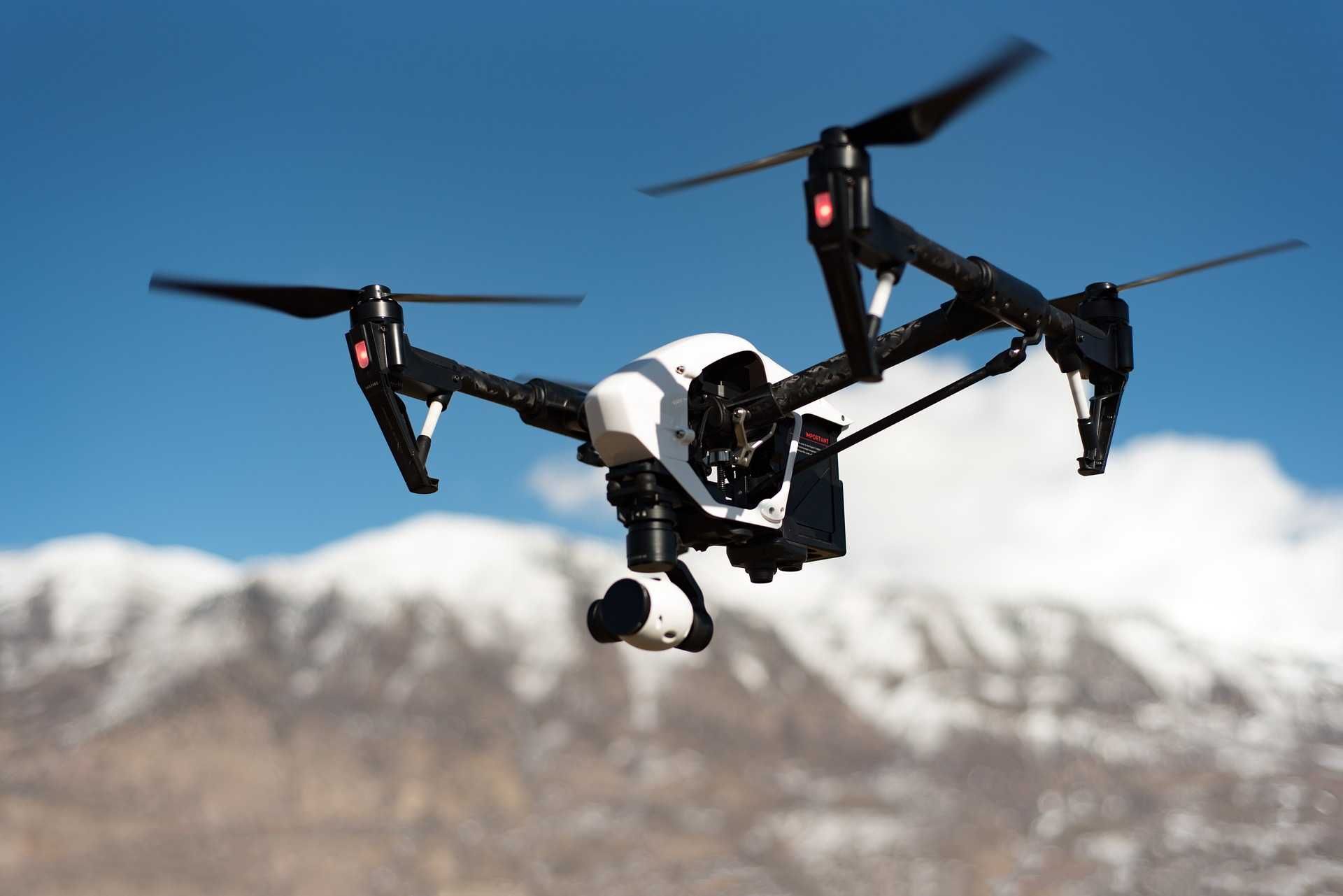
Aerial inspection services built on videogrammetry remove the manual overhead that slows down traditional photo-based workflows. Instead of managing dense image overlap and complex flight plans, operators capture continuous video and let SkyeBrowse handle the processing automatically in the cloud. The result is a consistent, repeatable workflow that any trained operator can execute in the field—without specialized camera rigs or survey experience.
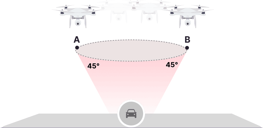
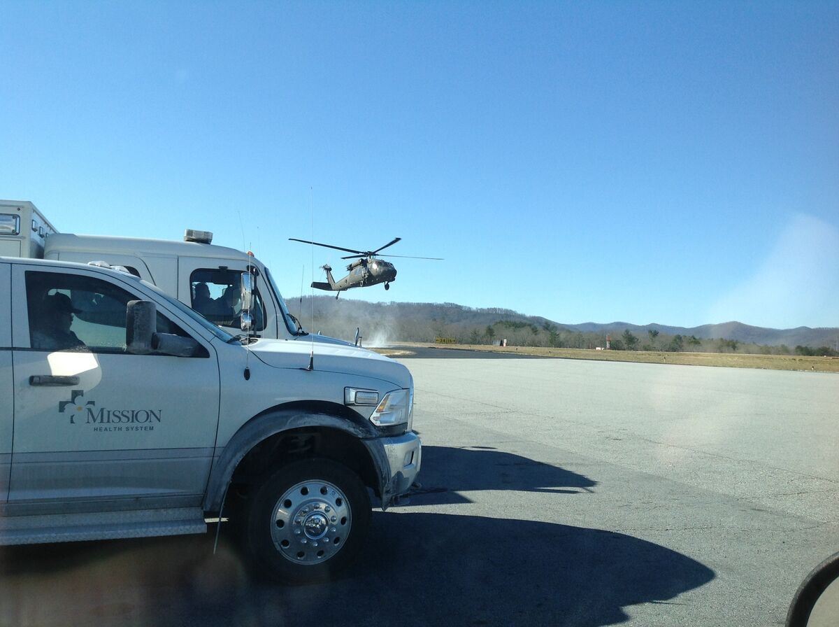
Traditional photogrammetry requires careful flight planning, high image overlap, and hours of post-processing before a usable model appears. SkyeBrowse replaces that with video capture—continuous, forgiving, and fast to process. For utility teams managing substations, transmission lines, pipelines, and distribution infrastructure, the ability to document accurately without slowing field operations is a direct operational advantage. A short 90-second orbit is often enough to capture the full scene at measurement-grade quality.
How Fast Can Drone Inspection Software Process Utility Models?
SkyeBrowse processes video at roughly a 1:1 ratio—one minute of footage generates approximately one minute of processing time—so models are ready in minutes rather than hours. This drone inspection software accepts input from drones, smartphones, body-worn cameras, and 360 cameras, then routes all uploads through Universal Upload to produce a 3D model and orthomosaic automatically.

Teams can submit a capture from the field and return to a completed model before the next deployment begins. There is no local software to install and no batch queue to manage overnight. For drone commercial property inspection teams covering multiple sites per day, that turnaround directly reduces scheduling bottlenecks and eliminates the lag between capture and decision.
Ready to Transform Your Infrastructure Inspection Workflow? Learn how SkyeBrowse can support your team's documentation and reporting needs.
What Accuracy and Export Formats Does SkyeBrowse Provide?
SkyeBrowse delivers measurement-grade outputs across all tiers, with the right level of precision for each inspection context. Premium Advanced provides 16K resolution with 0.1-inch accuracy; Premium delivers 8K resolution with 0.25-inch accuracy; Lite provides fast processing for reference models when absolute precision is not required.
Exports in LAZ, GLB, and GeoTIFF keep models compatible with GIS, CAD, and engineering analysis tools. That cross-platform compatibility means utility teams can share deliverables directly with engineers, asset managers, and regulatory reviewers without conversion steps or format disputes. Annotations and measurements are embedded in the model, so every stakeholder works from the same data source.
How Does SkyeBrowse Support Compliance and Evidence Readiness?
SkyeBrowse operates on AWS GovCloud (US) and supports CJIS-ready workflows with full audit trails and controlled sharing available on Premium tiers. For regulated utility environments—where documentation may be reviewed by oversight bodies, insurers, or legal teams—that chain of custody provides accountability that photo collections and field notes cannot match.
Models are stored with timestamped capture metadata, and access controls let organizations limit who can view or export specific assets. For aerial inspection services deployed across multiple crews or contractors, that structure prevents documentation gaps and supports defensible recordkeeping across the asset lifecycle.
What ROI Can Utility Teams Expect?
The speed difference produces measurable ROI. Traditional documentation workflows can require three hours and four staff members per site, while SkyeBrowse compresses capture to roughly 10 minutes with a single operator—reducing per-scene cost from approximately $360 to roughly $25. Across a portfolio of utility assets, that compression translates to fewer return visits, faster regulatory approvals, and safer operations.
Operational consistency amplifies those savings over time. When capture steps are standardized, teams can trust measurements across projects and avoid rework caused by incomplete documentation. That consistency also makes it easier to collaborate with outside stakeholders—engineers, insurers, project managers—who rely on accurate models to make decisions without scheduling an on-site visit.
To maximize model quality, start with a short capture checklist: steady orbit or walk-through, subject centered in frame, GPS subtitles enabled for drone flights, and minimal occlusion of key assets. For larger infrastructure environments, split the site into smaller captures and link models with annotations. That approach keeps processing fast while preserving enough detail for accurate measurements and downstream analysis.
Get a SkyeBrowse Quote
If you need fast, accurate aerial inspection services for utility infrastructure, SkyeBrowse can recommend the right plan and workflow for your team.