Bentley ContextCapture is enterprise reality modeling software designed to turn massive aerial photography datasets into city-scale 3D meshes for civil engineering workflows. SkyeBrowse is a cloud platform that converts standard video into 3D models using patented videogrammetry. One is built for infrastructure-scale digital twins. The other is built for operational teams that need a model in minutes, not months.

Contents
- Capture Input
- Processing Speed
- Hardware Requirements
- Accuracy and Measurement
- Operator Training
- Pricing
- Compliance and Data Security
- Feature-by-Feature Comparison
- The Bottom Line
- Related Comparisons
- Get a SkyeBrowse Recommendation
Capture Input
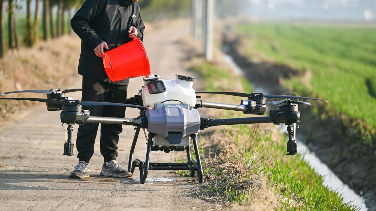
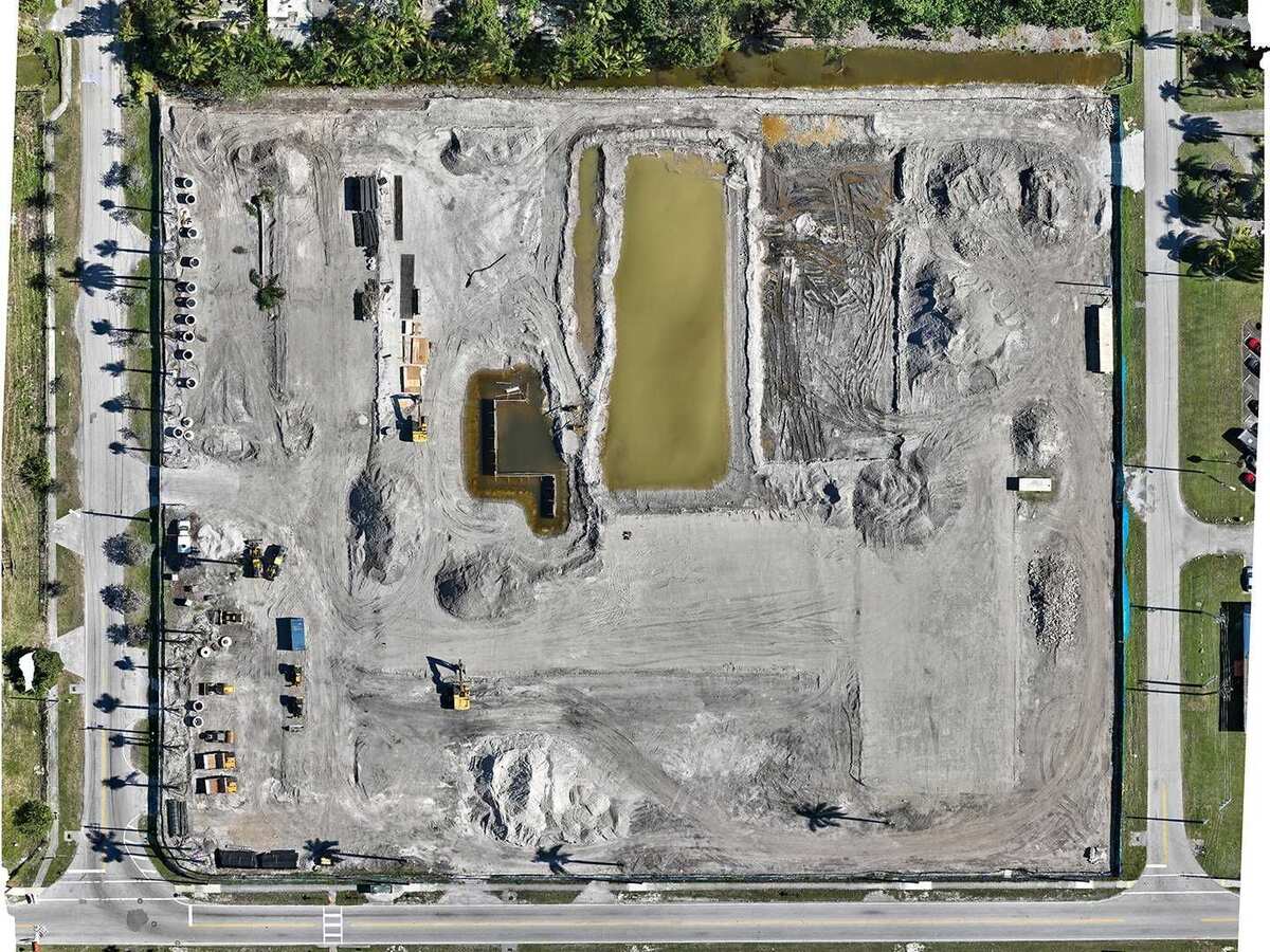
ContextCapture ingests massive aerial photography datasets: hundreds to thousands of images from fixed-wing aircraft, multirotor drones, or oblique camera systems. Data collection requires planned flight campaigns with strict coverage requirements. LiDAR point cloud imports supplement photo-based reconstruction. Every project starts with a capital-intensive capture operation involving flight mission design, execution, and QA review before a single pixel gets processed. GCPs and RTK-tagged imagery are expected for engineering-grade output.
SkyeBrowse accepts any .MP4 or .MOV video from any device. Drone orbit, smartphone walkthrough, body-worn camera, 360-degree camera. No flight campaign, no mission planning software, no post-flight QA. Universal Upload means the operator picks up a device, records video, and uploads. A patrol officer documenting a crash or a superintendent recording construction progress uses the same workflow with zero pre-capture overhead.
Processing Speed
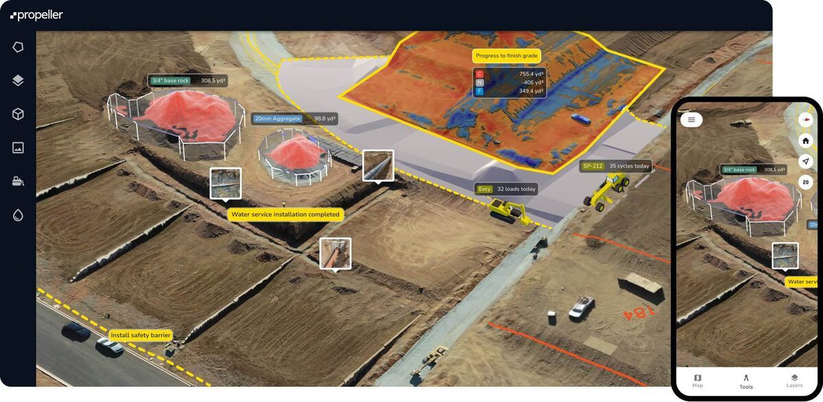
ContextCapture processes corridor and city-scale datasets that routinely take hours to complete, even on powerful multi-GPU workstations or through Bentley's cloud processing service. A highway corridor survey with thousands of high-resolution images can run for a full workday. Processing assumes the data was collected over days or weeks, so multi-hour compute times fit the workflow. But for scene-level documentation where time matters, this timeline is impractical.
SkyeBrowse processes in the cloud at a 1:1 ratio. Ten minutes of video returns a finished model in roughly ten minutes. No multi-hour queues. No workstation scheduling. For incident response teams clearing a crash scene, fire departments documenting a structure, or adjusters processing a claim, the difference between hours and minutes is the difference between same-shift delivery and next-day delivery.
Hardware Requirements
ContextCapture demands powerful workstations for local processing or a Bentley cloud processing subscription. The software runs within the Bentley iTwin ecosystem, which means operators also need licenses for downstream tools like MicroStation, OpenRoads Designer, or ProjectWise to use the outputs effectively. The infrastructure footprint extends well beyond a single software installation.
SkyeBrowse requires a web browser and an internet connection. No workstation. No ecosystem of supporting software. No IT infrastructure to maintain. The model renders in a browser, measurements happen in a browser, and sharing happens through a link. For organizations that do not already run the Bentley stack, SkyeBrowse avoids an entire ecosystem adoption just to get 3D models.
Accuracy and Measurement
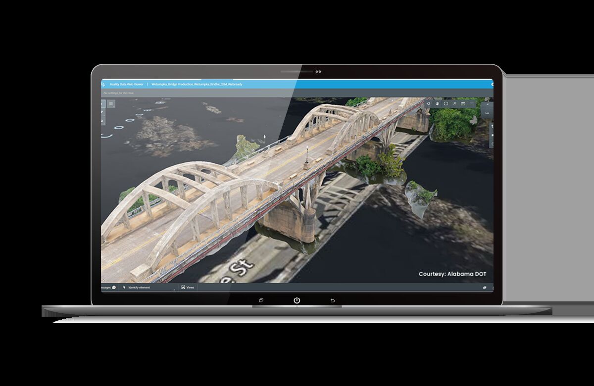
ContextCapture produces engineering-grade reality meshes. With ground control and RTK-tagged imagery, positional accuracy supports infrastructure design, road alignment, and volumetric calculations at corridor scale. The tiled mesh format handles multi-gigabyte city models. This accuracy serves DOTs and utilities designing around existing infrastructure, but it requires GCPs, calibrated sensors, and expert operators to achieve.
SkyeBrowse delivers consistent, scene-level accuracy without GCPs or calibrated sensors. Premium Advanced achieves 16K resolution with 0.1-inch accuracy and AI moving object removal. Premium provides 8K resolution at 0.25-inch accuracy. These specifications are sufficient for court-admissible evidence, insurance measurements, and construction verification. The accuracy is repeatable across operators because the cloud pipeline standardizes reconstruction parameters, not because the operator configured them correctly.
Operator Training
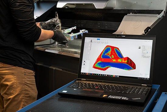
ContextCapture operators are typically civil engineers or GIS specialists with backgrounds in aerial triangulation, tiled mesh production, coordinate reference systems, and Bentley's broader software ecosystem. Training programs from Bentley and the Virtuosity platform cover the software, but proficiency develops over months of production use. The learning curve is compounded by the need to understand downstream Bentley tools where the outputs are consumed.
SkyeBrowse trains operators in a single session. Record stable video. Upload. Review the model. Police officers, firefighters, construction foremen, and insurance adjusters produce usable 3D models immediately. No civil engineering background. No GIS vocabulary. No Bentley ecosystem familiarity. When the people documenting scenes are field operators, not infrastructure engineers, SkyeBrowse is the tool they can actually use.
Pricing
Bentley uses token-based or consumption-based licensing. Individual ContextCapture licenses start at approximately $3,500 to $5,000 per year. Enterprise agreements with multiple seats, cloud processing credits, and iTwin platform access scale into six-figure annual commitments. Pricing is opaque and depends on negotiation. The cost is justified only for organizations already embedded in the Bentley ecosystem with infrastructure modeling as a core function.
SkyeBrowse uses transparent subscription pricing tiered by output quality. Lite, Premium, and Premium Advanced. Every tier includes cloud processing, AWS GovCloud hosting, browser-based sharing, and 5-year data retention. No token accounting. No enterprise agreement negotiation. No ecosystem lock-in. Scene documentation drops from $360 (3 hours, 4 officers) to $25 (10 minutes, 1 operator).
Compliance and Data Security
ContextCapture has no public safety compliance certifications. Data lives on local workstations or within Bentley's commercial cloud infrastructure. CJIS compliance, FedRAMP alignment, and chain-of-custody controls are the agency's responsibility to build around the platform. For public safety procurement, this creates a compliance gap that blocks adoption.
SkyeBrowse is built for regulated environments. AWS GovCloud (US) hosting with FedRAMP Moderate alignment. CJIS-compliant workflows with audit trails and controlled sharing. 5-year guaranteed data retention on Premium and Premium Advanced tiers. Exports in LAZ (forensic tools), GLB (courtroom presentations), and GeoTIFF (GIS integration). Compliance is included in the subscription, not layered on top of an enterprise agreement.
Feature-by-Feature Comparison
| Feature | Bentley ContextCapture | SkyeBrowse |
|---|---|---|
| Capture Input | Planned aerial photography + GCPs + LiDAR | Any video (.MP4/.MOV) from any device |
| Scale | City and corridor-scale digital twins | Scene-level documentation |
| Processing | Desktop or cloud, hours per project | Cloud, ~1:1 ratio, minutes |
| Hardware Required | Workstation + Bentley ecosystem licenses | Browser and internet connection |
| Accuracy | Engineering-grade (GCPs + RTK required) | 0.1 in (Advanced), 0.25 in (Premium), consistent |
| Training Time | Months (includes ecosystem tools) | Single session |
| Pricing | $3,500-$5,000/yr per seat; enterprise = six figures | Subscription (all-inclusive) |
| Compliance | None | CJIS, FedRAMP Moderate, AWS GovCloud |
| Data Retention | Operator-managed | 5-year guaranteed |
| Ecosystem Lock-in | Deep (iTwin, MicroStation, ProjectWise) | None (standalone) |
The Bottom Line
Bentley ContextCapture is the right tool for DOTs and AEC firms building digital twins of highway corridors and city infrastructure. SkyeBrowse is the right tool for operational teams that need a 3D model of a scene in minutes without an enterprise agreement, a civil engineering degree, or a six-figure annual commitment. For public safety, construction site documentation, and insurance, SkyeBrowse delivers what ContextCapture was never designed to provide: speed, simplicity, and compliance at scene scale.
Get a SkyeBrowse Recommendation
SkyeBrowse delivers scene-scale 3D models from video in minutes. No enterprise agreements, no infrastructure engineering background, no desktop processing. If your team needs fast, compliant documentation, request a demo.