Drone survey cost depends on who flies the aircraft, how accurate the deliverable has to be, and what software turns the footage into a map or model. A drone survey uses an unmanned aerial vehicle (UAV) to capture overlapping imagery or video that photogrammetry software (or its video-based cousin, videogrammetry) converts into a georeferenced map or 3D model. This guide covers what providers charge per acre, what a ground crew charges for the same job, and what it costs to bring the work in-house.
Key Takeaways
- Providers quote roughly $10 to $30 per acre for a basic orthomosaic and $50 to $150 per acre for engineering topo with ground control points, plus a project minimum on small sites.
- A ground topographic survey averages $2,000 to $6,500 for a residential lot and $10,000 to $25,000 for 50 acres; drone capture wins on cost and turnaround for terrain and as-built work.
- Licensed surveyors bill $220 to $450 per hour, and the drone flight itself is often under an hour, which is where most of the savings come from.
- In-house drone surveying costs a Part 107 certificate, a $1,000 to $4,000 mapping drone, and per-model cloud processing from $19.99 (annual) or $24.99 (monthly), with no desktop workstation.
- Boundary and ALTA surveys still need a licensed surveyor's seal, so the smart budget uses drones for the volume work and a surveyor for the legal deliverables.
Contents
- How much does a drone survey cost from a provider?
- How does drone survey cost compare to a traditional land survey?
- What drives the price of a drone survey up or down?
- What does it cost to run drone surveys in-house?
- How much does drone survey software cost?
- When should you hire a drone surveyor instead of flying yourself?
- FAQ
How much does a drone survey cost from a provider?
Most drone survey providers price per acre or per project. Published provider rate cards commonly run $10 to $30 per acre for a basic orthomosaic map, $50 to $150 per acre for an engineering topographic deliverable with ground control points (surveyed targets placed on site so the map ties to real-world coordinates), and $100 to $300 per acre when a licensed surveyor field-verifies the output. Small sites usually carry a $500 to $1,500 minimum.
Per-acre pricing falls as the site grows because setup costs (travel, airspace authorization, ground control layout, processing time) are mostly fixed: a 5-acre lot might be a flat $800 project while a 200-acre solar site comes in under $20 per acre. A 2D orthomosaic (a stitched, distortion-corrected aerial map) is the cheapest deliverable; a 3D point cloud (millions of measured surface points) or textured mesh costs more, and contour lines or cut-and-fill volumes (how much earth must be removed or added to reach design grade) add billable processing hours.
Hourly quotes of $100 to $400 are common for smaller jobs; the drone services pricing guide breaks those rates down by job type. Ask what accuracy standard the provider delivers to and whether ground control is included; those two answers explain most of the spread between quotes.
How does drone survey cost compare to a traditional land survey?
A conventional ground survey costs $377 to $770 for a simple residential lot check, $2,000 to $6,500 for a topographic survey, and $2,500 to $10,000 for an ALTA survey, with licensed surveyors billing $220 to $450 per hour. A drone captures the same terrain data in a fraction of the field time, which is why drone topographic surveys usually come in well below the ground-crew price on open sites.
HomeAdvisor's 2026 land survey cost data puts the average residential survey at $546, climbing to $3,600 to $6,500 for 10 acres and $10,000 to $25,000 for 50 acres. Those numbers reflect crew time: a two-person total-station crew covers a few acres a day, and the U.S. Bureau of Labor Statistics reports a median surveyor wage of $36.27 per hour (May 2025) before overhead. A drone flies the same 50 acres in under an hour. The savings shrink on small wooded parcels and widen on open, large sites: farmland, quarries, stockpile yards, corridors, and construction sites.
One boundary matters here. A drone survey documents what exists; a licensed surveyor certifies where the legal lines are. Boundary, mortgage, and ALTA surveys still require a professional seal, so pair a surveyor for the legal deliverable with drone capture for the terrain, volume, and progress data.
What drives the price of a drone survey up or down?
Five factors move a drone survey quote: site size, required accuracy, ground control and RTK (real-time kinematic GPS correction) requirements, terrain and airspace complexity, and the deliverables list. Accuracy is the biggest lever, because certified absolute positioning adds ground control layout, RTK hardware, or a surveyor's verification visit on top of the flight.
Accuracy comes in two flavors, and quotes often blur them. Relative accuracy is how true the measurements inside the model are (a wall length, a pile volume) and depends on how close the camera gets. Absolute accuracy is how precisely the whole model sits on real-world coordinates and depends on GCPs or an RTK drone that corrects its GPS position against a base station in flight. Each GCP adds field time to place and shoot, and an RTK enterprise drone adds $10,000 or more in hardware, which is why certified absolute georeferencing costs more than a measurable site model.
Airspace and terrain add cost too: sites near airports need FAA airspace authorization (LAANC), steep or wooded terrain needs more flight lines, and multi-day sites need repeat mobilization. Deliverables are the final multiplier: contour drawings and cut-and-fill reports take billable software time.
What does it cost to run drone surveys in-house?
An in-house drone survey program costs a Part 107 remote pilot certificate, a mapping-capable drone from about $1,000 for a consumer model to $15,000 or more for an RTK enterprise aircraft, and processing software billed per model or per year. A team flying two or more sites a week usually pays the setup back within its first quarter.
The certificate comes first. Under the FAA's Part 107 rules, a commercial pilot must be at least 16, pass the Unmanned Aircraft General knowledge test at an approved testing center, clear TSA vetting, and complete free recurrent online training every 24 calendar months.
Hardware is next: consumer mapping drones like the DJI Mini or Air series start around $1,000 and handle most site documentation; prosumer aircraft with larger sensors run $2,000 to $5,000; RTK enterprise drones cost $15,000 to $25,000 and only pay off when you need certified absolute coordinates without ground control. The surveying drone buyer's guide compares airframes. Add spare batteries and liability insurance (commonly $500 to $2,000 per year).
Then run the math: $1,000 per provider visit across 40 sites a year is $40,000 against a one-time $3,000 drone and a few thousand dollars in processing. Even at half that volume, ownership pays off within months.
How much does drone survey software cost?
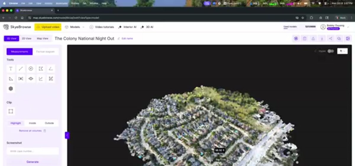
Drone survey software ranges from free cloud plans to desktop photogrammetry suites costing $3,500 to $8,000 per year. Cloud videogrammetry platforms like SkyeBrowse price per model instead of per seat: Commercial models are $24.99 monthly or $19.99 billed annually, Pro models with exports are $49.99 (or $39.99 annually), and the Public Safety & Enterprise tier is $199 per model per year at 0.1 inch accuracy.
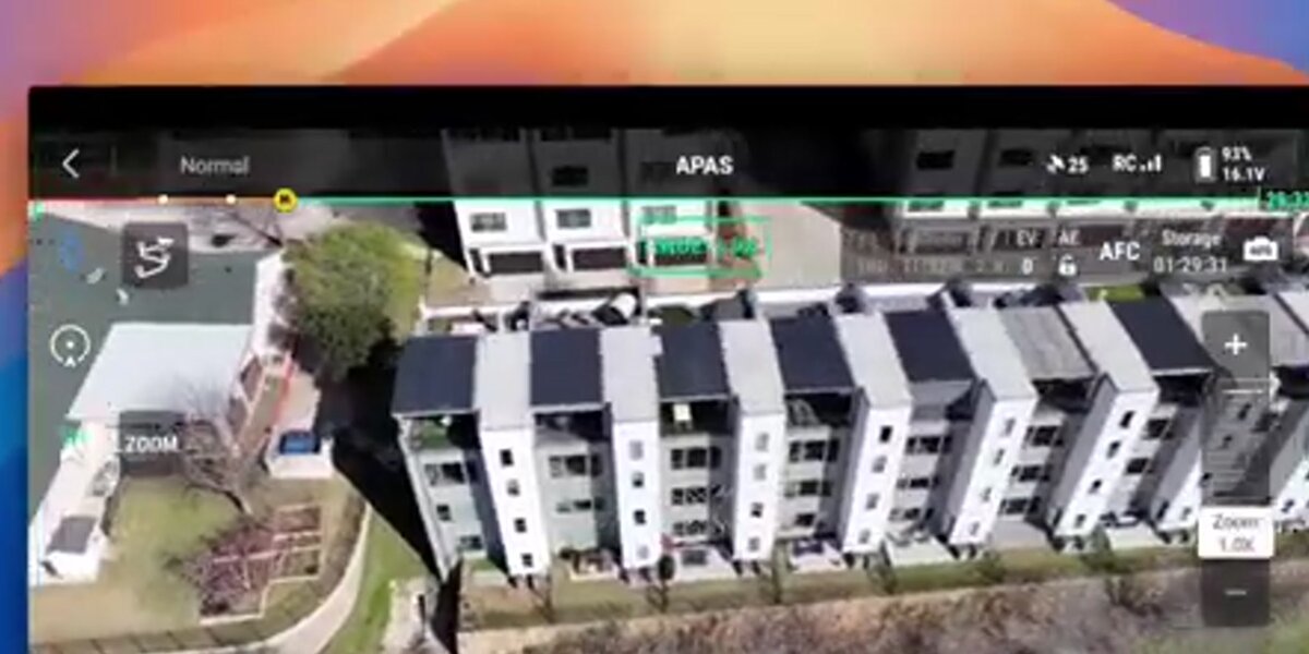
Traditional photogrammetry software builds a model from hundreds of still photos on a GPU workstation, adding $2,000 to $5,000 of hardware and hours of processing per site. SkyeBrowse takes a different route: fly one continuous video, upload it to app.skyebrowse.com, and the cloud returns a measurable model in roughly the length of the video. There's no desktop install and no per-user license.
Freemium is free with unlimited uploads and two concurrent models, without exports. Commercial models at $24.99 ($19.99 billed annually) store for three months with 8K processing at 0.5 inch accuracy. Pro models at $49.99 (or $39.99 billed annually) store for a year and add LAZ, GLB, OBJ, USDZ, and GeoTIFF exports plus topographic map tools, the tier that fits surveying and construction deliverables. Public Safety & Enterprise at $199 per model per year processes at 16K for 0.1 inch accuracy with five-year storage and CJIS compliance. First-time Freemium customers can run their first Commercial model for $5; current pricing lives on skyebrowse.com/pricing.
Model accuracy scales with how close the camera gets: a low, slow flight or a walk-around with a phone camera reaches 0.5 inch to 0.1 inch depending on tier, which covers stockpile volumes, as-built checks, and topographic surfaces. SkyeBrowse outputs a digital surface model (DSM); teams that need a bare-earth DTM or vector linework finish from the LAZ export in their CAD or GIS package. Where certified absolute coordinates matter, pair the flight with GCPs or an RTK drone.
When should you hire a drone surveyor instead of flying yourself?
Hire a provider when you need a one-time survey, a licensed surveyor's certification, or enterprise RTK hardware you don't own. Fly in-house when you survey the same sites repeatedly, need same-day turnaround, or want weekly progress data, because provider fees at that frequency exceed the cost of ownership within months.
As a rule of thumb, the break-even sits somewhere between 10 and 20 surveys per year. Below that, a provider's typical $500 to $3,000 per project beats certifying a pilot and buying hardware. Above it, ownership wins, and turnaround often matters more than dollars: fly a progress survey Friday afternoon and have cut-and-fill numbers for Monday's subcontractor meeting.
Hybrid programs are common: a staff Part 107 pilot for progress capture and volume checks, a licensed surveyor for boundary work. The complete drone surveying guide covers the in-house capture workflow.
FAQ
How much does a drone survey cost per acre?
Providers typically quote $10 to $30 per acre for a basic orthomosaic and $50 to $150 per acre for an engineering topographic deliverable with ground control points. Small sites carry a $500 to $1,500 minimum because mobilization and processing time don't shrink with acreage.
Is a drone survey cheaper than a traditional land survey?
For topographic, as-built, and volumetric work, yes. A ground topographic survey runs $2,000 to $6,500 for a residential lot and $10,000 to $25,000 for 50 acres, while a drone captures the same area in hours. Boundary and ALTA surveys still need a licensed surveyor's seal.
What does it cost to do drone surveys in-house?
A Part 107 certificate, a $1,000 to $4,000 mapping drone, and cloud processing at $24.99 to $199 per model covers most site documentation. Teams flying two or more sites a week usually recover the hardware cost within a quarter; see the free drone mapping software guide to test the workflow at no cost first.