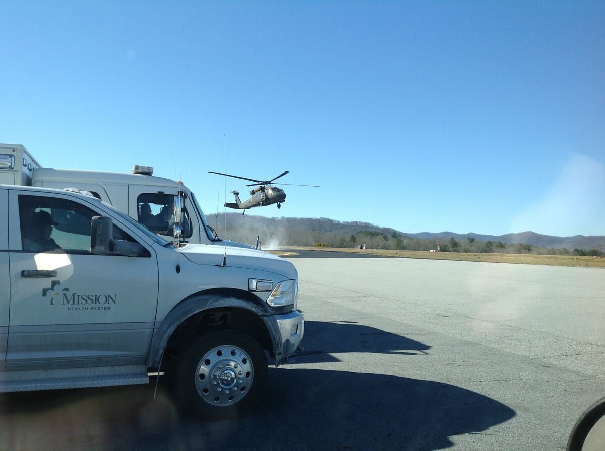
Search and rescue drone operations demand rapid area coverage, precise victim location documentation, and coordination across multiple response teams while daylight and weather windows shrink. A search and rescue drone paired with SkyeBrowse converts aerial search video into georeferenced map products in minutes, helping incident commanders direct ground teams efficiently and document search progress across every operational period.
Key Takeaways
- A 15-minute search flight produces a complete georeferenced orthomosaic in about 15 minutes, documenting exactly which terrain was visually cleared.
- GeoTIFF outputs overlay directly onto SARTopo, CalTopo, and ArcGIS so incident commanders coordinate all teams from a single spatial dataset.
- Drone SAR missions cost under $50 in direct costs versus $1,200–$2,500 per hour for helicopter operations, with an objective coverage record that helicopter crews cannot produce.
- Premium Advanced (16K, 0.1 inch) delivers detailed terrain models for high-angle and swift-water technical rescue planning, including anchor point distances and rope system requirements.
- AWS GovCloud storage with 5-year retention and audit trails supports after-action reviews, family inquiries, and litigation if missions result in legal proceedings.
Contents
- Why SAR teams use videogrammetry
- Rapid area search and victim location documentation
- Terrain mapping for technical rescue planning
- Secure mission documentation and after-action analysis
- Improved search efficiency and resource coordination
- Get a SkyeBrowse quote
Why Do SAR Teams Use Search and Rescue Drone Mapping?
Traditional search patterns rely on ground teams walking grid sectors or helicopters flying visual searches—both methods are slow, prone to gaps, and provide no permanent record of areas searched. When missing persons are hypothermic or injured, time lost to inefficient search patterns directly impacts survival probability.
Videogrammetry lets SAR coordinators launch drones over search areas, capture continuous aerial footage, and process georeferenced search maps within 10 minutes—documenting exactly which terrain was visually cleared and identifying potential victim locations or clue items requiring ground team investigation.
Rapid Area Search and Victim Location Documentation
SkyeBrowse accepts video from any GPS-enabled drone. For search operations, fly systematic patterns over target areas—creek beds, ridge lines, dense vegetation zones—capturing terrain continuously. Processing happens at approximately 1:1 speed—a 15-minute search flight returns a complete orthomosaic in about 15 minutes.
That turnaround supports dynamic operations where daylight is limited and weather windows close rapidly. When aerial searches identify potential victim locations or equipment, ground teams deploy immediately using GPS coordinates extracted from the georeferenced model—no time lost to manual map correlation or radio description confusion.
The GeoTIFF orthomosaic overlays directly onto SAR incident management systems like SARTopo, CalTopo, and ARCGIS. Incident commanders document sectors searched, mark clue locations, and coordinate multiple team deployments from the same spatial dataset—reducing search overlap and improving area coverage efficiency.
For multi-day searches, capture daily models and compare them sequentially. Track search progress visually, identify gaps in coverage, and redirect teams to unsearched terrain—preventing wasted effort in previously cleared areas.
Terrain Mapping for Technical Rescue Planning
Premium provides 0.25 inch accuracy at 8K resolution, sufficient for terrain analysis and technical rescue planning. Elevation models reveal cliff heights, slope angles, and access route feasibility—data that drives rigging decisions and team deployment strategies.
For high-angle rescue and swift-water operations, Premium Advanced delivers 16K resolution with 0.1 inch accuracy. Technical rescue teams use detailed models to measure anchor point distances, calculate rope system requirements, and identify hazard exposures before committing personnel to technical environments.
Lite serves large-area initial searches where speed outweighs precision. When missing persons could be anywhere within multi-square-mile search zones, Lite provides rapid area coverage—identify high-probability zones, then follow with Premium models of priority sectors requiring detailed examination.
The LAZ point cloud exports to technical rescue planning software. Teams measure vertical relief, calculate approach distances, and simulate rescue scenarios using actual terrain geometry—improving operational planning and reducing mission risks.
Secure Mission Documentation and After-Action Analysis
AWS GovCloud (US) hosting provides long-term data retention. Premium tiers include 5-year guaranteed storage, supporting after-action reviews and legal proceedings. When SAR missions result in litigation—wrongful death claims, liability disputes—archived models provide verifiable evidence of search thoroughness and operational decisions.
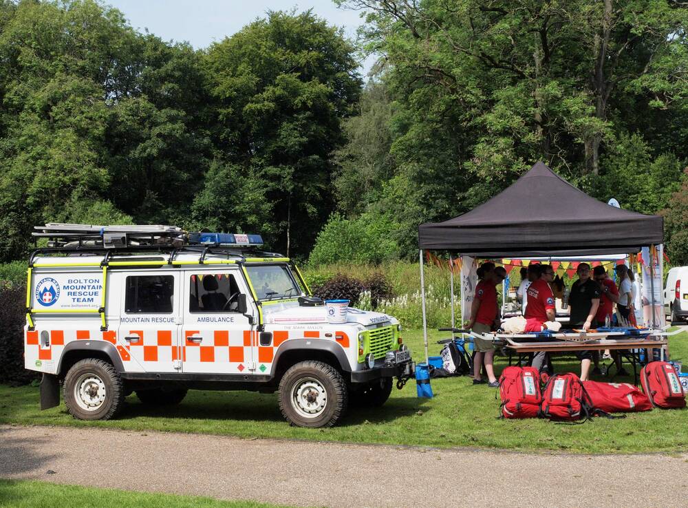
For multi-agency operations, controlled sharing allows county SAR coordinators, state emergency management, volunteer search teams, and law enforcement to access mission models without emailing large files. Each agency accesses relevant sectors via secure links with appropriate permission levels.
Audit trails document who accessed mission data and when. For after-action reports and family inquiries, that record demonstrates operational transparency and investigative diligence.
Improved Search Efficiency and Resource Coordination
Traditional helicopter search operations cost $1,200-2,500 per flight hour and provide no permanent search record beyond crew memory and hand-marked paper maps. When helicopters return to base, incident commanders have incomplete information about which terrain was actually visually cleared versus merely overflown.
Videogrammetry compresses aerial search into drone operations at under $50 per mission in direct costs. The georeferenced orthomosaic provides objective evidence of terrain coverage—proving which areas received visual examination and identifying sectors requiring ground team follow-up.
That documentation improves accountability. When families question whether searchers covered specific areas, the orthomosaic shows exactly which terrain was photographed and examined—reducing friction and demonstrating thorough investigation.
For lost hiker and missing person cases, thermal-equipped drones combined with RGB videogrammetry provide dual-purpose intelligence. Fly thermal searches at night to detect body heat signatures, then capture RGB video at first light for terrain documentation—both datasets process into actionable map products using the same workflow.
Grid search coordination improves when teams reference common map products. All ground searchers use the same orthomosaic for navigation, mark clue locations using consistent GPS references, and avoid duplicate coverage—maximizing effective search effort per operational period.
For wilderness medicine and evacuation planning, videogrammetry-based terrain models reveal helicopter landing zones, litter carry distances, and technical rescue requirements. Medical teams assess evacuation complexity accurately instead of discovering access problems after reaching the patient.
Evidence preservation matters in criminal investigations disguised as missing person cases. When SAR missions transition to homicide investigations, the georeferenced search documentation becomes forensic evidence—showing victim discovery locations, clue distribution patterns, and investigative thoroughness.
Training effectiveness improves when recruits review actual SAR mission models. New searchers study realistic terrain, critique search patterns, and understand clue detection challenges using authentic mission data—better preparation than classroom theories or generic training scenarios.
For avalanche and swift-water rescues, videogrammetry documents incident sites rapidly. Capture avalanche debris fields or flood zones within minutes of team arrival, providing situational awareness for tactical decisions and permanent records for incident reviews.
Resource allocation improves when incident commanders visualize search area terrain. The 3D model reveals vegetation density, slope steepness, and access barriers—intelligence that drives team size and capability requirements before deployment.
Get a SkyeBrowse Quote
If your search and rescue drone program needs fast 3D documentation built around video capture, SkyeBrowse can recommend the right plan and workflow for SAR operations.