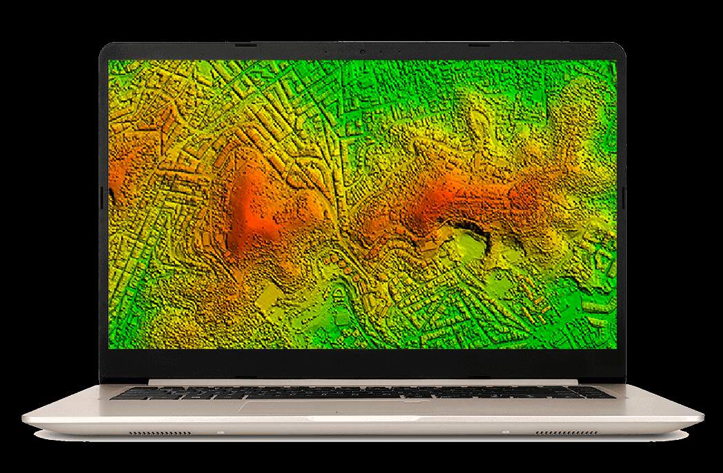
Correlator3D is enterprise aerial triangulation software from SimActive (Montreal) that processes satellite imagery and large-format aerial photography at national and regional scales. SkyeBrowse is a cloud platform that converts standard video into 3D models using patented videogrammetry. One is built for mapping agencies processing square kilometers. The other is built for field teams documenting individual scenes in minutes.
Contents
- Capture Input
- Processing Speed
- Hardware Requirements
- Accuracy and Measurement
- Operator Training
- Pricing
- Compliance and Data Security
- Feature-by-Feature Comparison
- The Bottom Line
- Related Comparisons
- Get a SkyeBrowse Recommendation
Capture Input
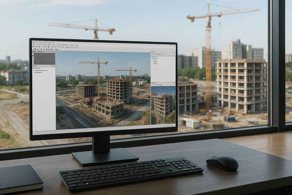
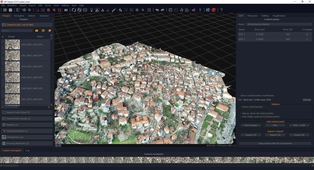
Correlator3D ingests satellite imagery, high-altitude aerial photography, and large-format sensor data. A typical project begins with a flight campaign or satellite tasking that produces hundreds to thousands of geotagged frames, accompanied by camera calibration files, exterior orientation data, and ground control points. Data collection is a capital-intensive, planned operation: satellite tasking orders, aerial survey flights, and GCP campaigns all happen before a single image gets processed.
SkyeBrowse accepts any .MP4 or .MOV video from any device. Drone orbit, smartphone walkthrough, body-worn camera recording, 360-degree camera sweep. No satellite tasking. No flight campaign. No camera calibration files. No GCPs. Universal Upload means an operator records video with whatever device is available and uploads a single file. The capture overhead is effectively zero.
Processing Speed
Correlator3D is optimized for batch processing of massive aerial datasets. A regional survey covering hundreds of square kilometers takes hours on a multi-GPU workstation. The batch architecture allows operators to queue multiple projects, but each project still consumes significant compute time. The workflow assumes data collection took days or weeks, so hours of processing is an accepted cost within the production timeline.
SkyeBrowse processes in the cloud at a 1:1 ratio. Ten minutes of video returns a finished model in roughly ten minutes. No batch queues. No multi-hour compute cycles. For teams responding to incidents, documenting construction progress, or processing insurance claims, the difference between hours and minutes determines whether the 3D model is useful in the current workflow or arrives too late to matter.
Hardware Requirements
Correlator3D requires multi-GPU desktop workstations optimized for batch processing of large-format imagery. The software is GPU-accelerated and designed to maximize throughput on high-end hardware. A processing-capable machine for national-scale photogrammetry costs $5,000 to $10,000+. The infrastructure investment matches the enterprise scale of the software's intended use cases.
SkyeBrowse requires a web browser and an internet connection. No GPU. No dedicated workstation. No batch processing infrastructure. A field tablet, a department laptop, or a smartphone handles the entire workflow. For organizations that do not process satellite or large-format aerial imagery as a core function, SkyeBrowse eliminates an infrastructure investment that was never justified in the first place.
Accuracy and Measurement
Correlator3D achieves mapping-grade accuracy across large areas. With surveyed GCPs and high-quality aerial imagery, the software produces orthomosaics and digital surface models that meet national mapping standards. Sub-pixel accuracy in aerial triangulation is typical. The software excels at maintaining geometric consistency across thousands of frames spanning hundreds of square kilometers.
SkyeBrowse delivers scene-level accuracy designed for operational measurement. Premium Advanced achieves 16K resolution with 0.1-inch accuracy and AI moving object removal. Premium provides 8K resolution at 0.25-inch accuracy. Lite delivers 2-6 inch accuracy for reference documentation. These specifications apply at the scale where operational teams work: an intersection, a building, a construction site. Court-admissible, consistent, and repeatable without GCPs or geodetic expertise.
Operator Training
Correlator3D operators are geospatial professionals with formal training in photogrammetry, remote sensing, or geodesy. The software's interface exposes aerial triangulation parameters, pushbroom sensor models, multi-strip bundle adjustment controls, and coordinate reference systems that assume years of geospatial education. SimActive provides training, but productive operation requires a foundation that cannot be acquired in weeks.
SkyeBrowse trains operators in a single session. Record video. Upload. Review the model. Police officers, firefighters, construction superintendents, and insurance adjusters produce models on their first capture. No photogrammetry vocabulary. No sensor model configuration. No geodetic coordinate system selection. When the people documenting scenes have zero geospatial background, SkyeBrowse is the only tool that does not require them to acquire one.
Pricing
Correlator3D uses enterprise licensing with opaque pricing. Per-seat costs range from $5,000 to $15,000+ depending on configuration, sensor support, and batch processing capacity. Volume licensing and government procurement contracts are standard. The pricing model targets organizations where national-scale aerial processing is a core business function that justifies five-figure annual software investment.
SkyeBrowse uses transparent subscription pricing tiered by output quality. Lite, Premium, and Premium Advanced. Every tier includes cloud processing, AWS GovCloud hosting, browser-based sharing, and 5-year data retention. No enterprise negotiation. No opaque per-seat pricing. Scene documentation drops from $360 (3 hours, 4 officers) to $25 (10 minutes, 1 operator). For any organization that does not process satellite imagery as a core function, SkyeBrowse costs a fraction of what Correlator3D charges for capabilities the team does not need.
Compliance and Data Security
Correlator3D has no public safety compliance certifications. Data resides on the operator's local workstation. While defense and government mapping agencies may operate within their own secure environments, the software itself provides no CJIS compliance, FedRAMP alignment, or evidence chain-of-custody controls. Agencies must layer their own security infrastructure around the tool.
SkyeBrowse is purpose-built for regulated environments. AWS GovCloud (US) hosting with FedRAMP Moderate alignment. CJIS-compliant workflows with audit trails and controlled sharing. 5-year guaranteed data retention on Premium and Premium Advanced tiers. Exports in LAZ (forensic reconstruction), GLB (courtroom presentations), and GeoTIFF (GIS integration). Compliance is built into the platform, not delegated to the customer.
Feature-by-Feature Comparison
| Feature | Correlator3D | SkyeBrowse |
|---|---|---|
| Capture Input | Satellite imagery, aerial photos, camera calibration files | Any video (.MP4/.MOV) from any device |
| Scale | National/regional (square kilometers) | Scene-level (individual sites) |
| Processing | Desktop, multi-GPU batch, hours | Cloud, ~1:1 ratio, minutes |
| Hardware Required | $5,000-$10,000+ multi-GPU workstation | Browser and internet connection |
| Accuracy | Mapping-grade (GCPs + calibrated sensors required) | 0.1 in (Advanced), 0.25 in (Premium), consistent |
| Training Time | Years of geospatial education | Single session |
| Pricing | $5,000-$15,000+/seat (enterprise, opaque) | Subscription (transparent, all-inclusive) |
| Compliance | None | CJIS, FedRAMP Moderate, AWS GovCloud |
| Data Retention | Operator-managed | 5-year guaranteed |
| AI Cleanup | None | Moving object removal (Advanced) |
The Bottom Line
Correlator3D serves a narrow, specialized market: government mapping agencies and defense organizations processing satellite and aerial imagery at continental scales. SkyeBrowse serves the vastly larger market of operational teams that need 3D documentation of individual scenes in minutes. For public safety, construction, and insurance teams, SkyeBrowse delivers what Correlator3D was never built to provide: fast, accessible, compliant scene documentation from any video source.
Get a SkyeBrowse Recommendation
SkyeBrowse converts scene-level video into measurable 3D models through a cloud pipeline. No aerial triangulation software, no satellite imagery, no GIS expertise. If your team documents incidents and needs fast, compliant results, request a demo.