Airport airfield documentation has historically meant weeks of ground survey crews, runway closure notices, and five-figure mobilization costs — all to produce survey data that may already be months out of date by delivery. Videogrammetry (the process of converting drone video into georeferenced 3D models) now gives airport operations teams a way to capture precise airfield conditions overnight, process models in the cloud, and have review-ready deliverables before the next morning's first departure bank. This guide covers what to look for in 3D mapping software for airports, how different platforms compare for airfield-specific work, and where SkyeBrowse fits for compliance, construction, and safety documentation.
Key Takeaways
- FAA Advisory Circular 150/5300-13B sets dimensional standards for Runway Safety Areas, Obstacle Free Zones, and approach surfaces — 3D mapping generates the spatial evidence needed to document compliance or justify non-conformance.
- SkyeBrowse's Premium tier delivers approximately 0.25-inch vertical accuracy, and the Premium Advanced tier reaches approximately 0.1 inch — both suitable for preliminary engineering and grant documentation under AIP programs.
- Drone video surveys can capture full RSA extents in a single overnight session, eliminating the runway closure downtime that traditional ground survey mobilizations require.
- Traditional airfield surveys cost $15,000–$30,000 per mobilization; videogrammetry-based airport mapping runs $400–$600 per session — an 80–90% reduction that matters across multi-year capital programs.
- Outputs include GeoTIFF orthomosaics for planimetric review, LAZ point clouds for engineering software import, and GLB 3D meshes for stakeholder presentations and grant exhibits.
Contents
- What makes airport mapping different from standard drone surveying?
- Which 3D mapping platforms work best for airfield operations?
- How does drone mapping support FAA Part 139 compliance?
- How can airports use 3D models for construction documentation?
- What are the workflow steps for airport drone mapping with SkyeBrowse?
- FAQ
What makes airport mapping different from standard drone surveying?
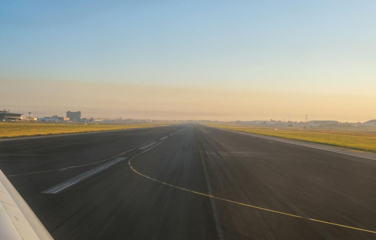
Airport mapping requires operational sensitivity that typical construction or public safety mapping does not. Flights must be coordinated with the airport operator and air traffic control, often confined to overnight windows or pre-dawn gaps between scheduled operations. Software must handle large continuous areas — taxiway systems, RSAs, and approach corridors — and deliver accuracy tiers that hold up to engineering review, not just visual inspection.
Standard drone mapping tools built for construction sites or real estate photography lack the precision outputs and export formats that airport engineering applications require. FAA grant-funded projects expect deliverables that can be imported into CAD and GIS workflows, measured against design tolerances, and attached to reimbursement requests as verifiable documentation. A platform that exports only JPEGs or low-resolution point clouds won't satisfy those requirements.
Airfield operations also impose physical access constraints. Landside drone launches may not provide the coverage angles needed for accurate RSA modeling. Some airports require airside access — coordinated with operations and ATC — for the flight window to capture proper overlap on safety-critical areas. The mapping software must be able to handle the telemetry data from enterprise drones that collect GPS logs alongside video, which improves georeferencing accuracy without requiring ground control points on active movement areas.
The FAA's Advisory Circular 150/5300-13B specifies dimensional standards for every safety-critical surface at certificated airports. Mapping that cannot produce measurements verifiable against those standards provides little value for compliance documentation.
Which 3D mapping platforms work best for airfield operations?
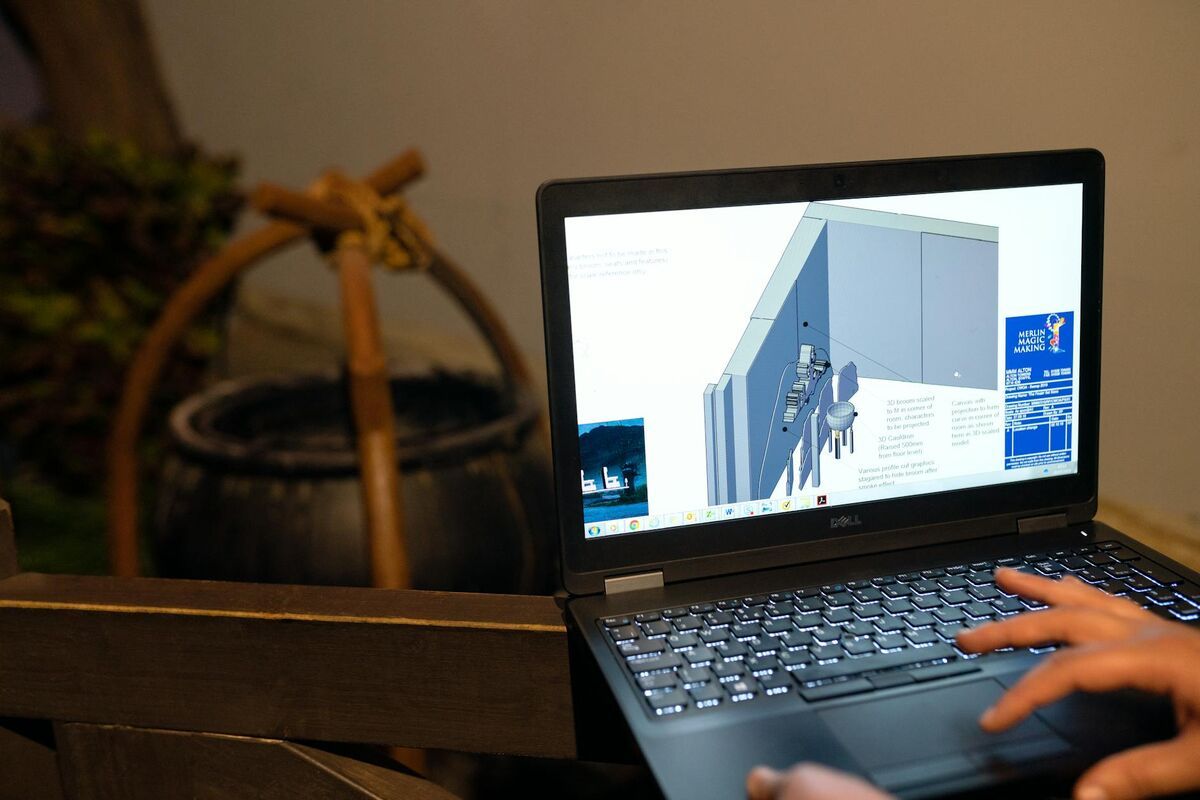
For most airport teams balancing speed, cost, and regulatory-grade accuracy, cloud-based videogrammetry platforms outperform desktop photogrammetry software and mobile LiDAR systems. They eliminate the need for expensive local processing hardware, produce deliverables within hours of a flight session, and can be operated by airport staff or contract drone operators without weeks of software training.
The table below compares the main technology categories against airport-specific requirements:
| Technology | Airport Application | Accuracy Range | Operational Impact |
|---|---|---|---|
| Cloud videogrammetry (SkyeBrowse) | RSA surveys, obstruction mapping, construction verification | 0.25 in (Premium) to 0.1 in (Premium Advanced) | Overnight capture, no runway closure required |
| Desktop photogrammetry (Pix4D, Agisoft) | Wide-area orthomosaics, master plan updates | 0.5–2 in depending on GSD | Requires processing workstation, longer turnaround |
| Mobile LiDAR | Pavement condition, high-speed corridor mapping | Sub-centimeter | Equipment cost exceeds $150,000; specialized operation |
| Traditional ground survey | Design engineering, boundary determination | Survey-grade | Requires extended airfield access; weeks duration |
SkyeBrowse's cloud-based model means models are processed at app.skyebrowse.com without any desktop hardware investment. The platform accepts standard .MP4 and .MOV video from DJI and Autel drones. When .SRT telemetry files are uploaded alongside the video, the platform uses embedded GPS data for georeferencing — which is particularly useful in airport environments where placing physical ground control points on active pavement may not be feasible.
For teams already using drone surveying workflows, airport environments simply add coordination steps rather than changing the core capture process.

How does drone mapping support FAA Part 139 compliance?
Part 139 certification requires airports to demonstrate that Runway Safety Areas, Obstacle Free Zones, and approach surfaces meet dimensional standards established in FAA AC 150/5300-13B. 3D mapping produces digital elevation models and georeferenced models showing existing grades, non-conforming areas, and obstruction locations — exactly the spatial evidence certification inspectors and AIP grant managers need.
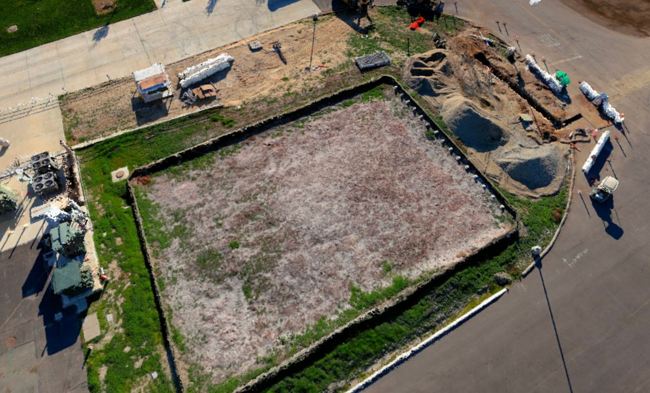
Runway Safety Areas are among the most scrutinized elements in Part 139 inspections. A 5,000-foot runway serving approach category C aircraft requires a 500-foot RSA extending beyond each end, graded to specific slope tolerances. Many existing airports have non-conforming RSAs due to terrain, property boundaries, or legacy construction. Certification requires these airports to document the deficiency, quantify the gap against the standard, and demonstrate a plan or justification for why full compliance is not achievable.
Drone-captured elevation models provide the spatial data needed to calculate grade profiles across the full RSA extent, identify drainage patterns that may indicate slope non-compliance, and produce exhibits for FAA review. The resulting GeoTIFF outputs import directly into civil engineering software for cut-and-fill volume calculations — quantifying the earthwork costs needed to bring an RSA into compliance and supporting the cost-benefit analysis required in grant applications.
Obstruction surveys support FAA Part 77 notifications. Objects penetrating imaginary surfaces trigger notification and may require marking or lighting. Periodic drone mapping of approach corridors identifies trees, structures, or terrain features that have grown into protected surfaces since the last survey — a problem that ground-based inspections often miss until the penetration is discovered during a certificate inspection.
For teams also working construction projects near airfields, the construction progress monitoring workflow applies directly: regular drone captures document grading, structure placement, and pavement installation against design tolerances, giving both the airport and FAA reviewers verifiable progress data for grant reimbursement.
How can airports use 3D models for construction documentation?
Airport construction projects — taxiway rehabilitations, apron expansions, terminal improvements — require documented existing conditions before work begins, verified progress at each phase milestone, and as-built confirmation that completed work matches grant-funded designs. Drone 3D mapping delivers all three on a schedule that keeps pace with construction cycles without disrupting operations.
AIP grant closeouts are a persistent pain point for airport managers. FAA requires documented evidence that grant-funded improvements were built per the approved design. Traditional as-built documentation relies on contractor-submitted drawings and inspector photos — data points that are hard to spatially verify. Disputes over quantities or scope can delay reimbursements by months.
Biweekly drone surveys during a taxiway reconstruction generate a time-series of models showing actual grading progress, material stockpile volumes, and completed pavement areas. Each model includes measurable quantities that support contractor payment applications with independently verifiable data, reducing back-and-forth that delays progress payments.
Phase acceptance surveys create an archived record of conditions at turnover. If a drainage issue surfaces two years after construction, the as-built model shows exactly how the work was completed and whether the condition existed at turnover or developed afterward. The drone as-built documentation workflow covers the full process from pre-construction baseline through final grant closeout.
What are the workflow steps for airport drone mapping with SkyeBrowse?
The SkyeBrowse airport mapping workflow runs in four steps: coordinate the flight window with airport operations and ATC, fly the drone on a grid or orbit pattern to capture the target area with adequate overlap, upload the video and telemetry file to app.skyebrowse.com, and download the finished model outputs within hours. No desktop processing software or specialized hardware is required.
Flight coordination: Airside access needs written approval from the airport operator. Flights in controlled airspace require ATC notification or a LAANC authorization. Plan these clearances 24–72 hours in advance.
Capture parameters: Nadir flight patterns with 70–80% front and side overlap produce the most accurate elevation models for RSA and construction documentation. Enterprise drones like the DJI Mavic 3E or Matrice 350 RTK record .SRT telemetry that SkyeBrowse uses for georeferencing without requiring physical ground control points on active surfaces. See the full list of supported drones.
Upload and processing: Video files upload through the SkyeBrowse web interface or the SkyeBrowse Flight App. Premium processing at 8K delivers approximately 0.25-inch accuracy with turnaround typically under 60 minutes for an RSA survey area. Premium Advanced at 16K with AI moving-object removal handles the most demanding obstruction and grade-verification requirements.
Deliverable export: Models export as GeoTIFF orthomosaics, LAZ point clouds, and GLB 3D meshes — all shareable directly with FAA project managers without specialized software. The drone 3D mapping guide covers capture settings and processing choices in detail.

FAQ
Does airport drone mapping software meet FAA accuracy standards?
Yes. SkyeBrowse's Premium tier delivers approximately 0.25-inch accuracy, which meets or exceeds the survey precision needed for FAA Part 139 compliance documentation, RSA verification, and AIP grant applications. The Premium Advanced tier reaches approximately 0.1-inch accuracy for projects requiring the highest spatial fidelity. For preliminary engineering and grant cost estimation, both tiers exceed the accuracy needed to quantify non-conforming conditions.
Can drone mapping be used for FAA obstruction surveys under Part 77?
Drone-based 3D mapping can identify and document obstructions penetrating Part 77 imaginary surfaces, including trees, structures, and terrain features in approach corridors. The resulting point clouds and elevation models support required notifications and inform marking or lighting determinations. Formal Part 77 aeronautical studies are conducted by the FAA — drone data supports filings and helps airports track encroachment changes between formal study cycles.
How much does airport drone mapping cost compared to traditional surveying?
Traditional airfield surveys typically cost $15,000–$30,000 per mobilization. Drone-based videogrammetry using SkyeBrowse runs $400–$600 per survey session at Premium processing rates — an 80–90% cost reduction. For construction projects requiring monthly documentation over an 18-month capital program, that difference compounds substantially. Per-model pricing at $99 (Premium) or $199 (Premium Advanced) means teams pay only for what they process, with no annual seat license required.
What drone hardware works best for airport 3D mapping?
DJI enterprise drones including the Mavic 3E, Matrice 300 RTK, and Matrice 350 RTK are well suited to airport mapping. They support .SRT telemetry files that SkyeBrowse uses for georeferencing without requiring physical ground control points on active movement areas. All drone operations on or near airports require coordination with the airport operator and appropriate FAA authorizations — typically a Part 107 remote pilot certificate plus LAANC authorization or written airport operator approval for airside access.