Is SkyeBrowse worth it? For teams that need a measurable 3D model fast and don't want to run desktop processing, usually yes, and you can check that against your own footage for free before you spend anything. SkyeBrowse is a cloud videogrammetry platform: it builds 3D models and 2D maps from the frames of one continuous video instead of hundreds of separate photos. We build SkyeBrowse, so treat this as an informed review from the inside. We've tried to be specific about where it fits and where another tool may serve you better.
Key Takeaways
- SkyeBrowse turns drone, phone, 360 camera, and body-worn camera video into 3D models in the cloud, with most models ready 5 to 10 minutes after upload.
- Accuracy reaches 0.5 inch on Commercial and Pro models and 0.1 inch on Public Safety & Enterprise without ground control points (surveyed markers placed around a site).
- Pricing is per finished model with no seat fees, starting from a free Freemium plan and a $5 first Commercial model.
- The main limits are workflow ones: processing is video-only, it runs online only, and terrain models or linework need third-party software.
- Public safety agencies get the most from it, since the top tier adds CJIS (FBI Criminal Justice Information Services) compliance, chain of custody, and 5-year storage.
Contents
- What is SkyeBrowse and who is it built for?
- What does SkyeBrowse do well?
- Where does SkyeBrowse have limits?
- How much does SkyeBrowse cost compared with the time it saves?
- Which teams should choose SkyeBrowse?
- FAQ
What is SkyeBrowse and who is it built for?
SkyeBrowse is a browser-based platform that converts video into measurable 3D models and 2D maps using patented videogrammetry. Over 1,200 agencies use it worldwide, mostly in public safety, alongside construction and insurance teams. You capture video, upload it, and measure the model at app.skyebrowse.com.
The idea came out of university research sparked by our founder Bobby's experience with how slow accident reconstruction was. That origin still shapes the product, which is built around short captures, quick turnaround, and a goal we call standardizing the specialist: making 3D documentation something any trained officer or field tech can do.
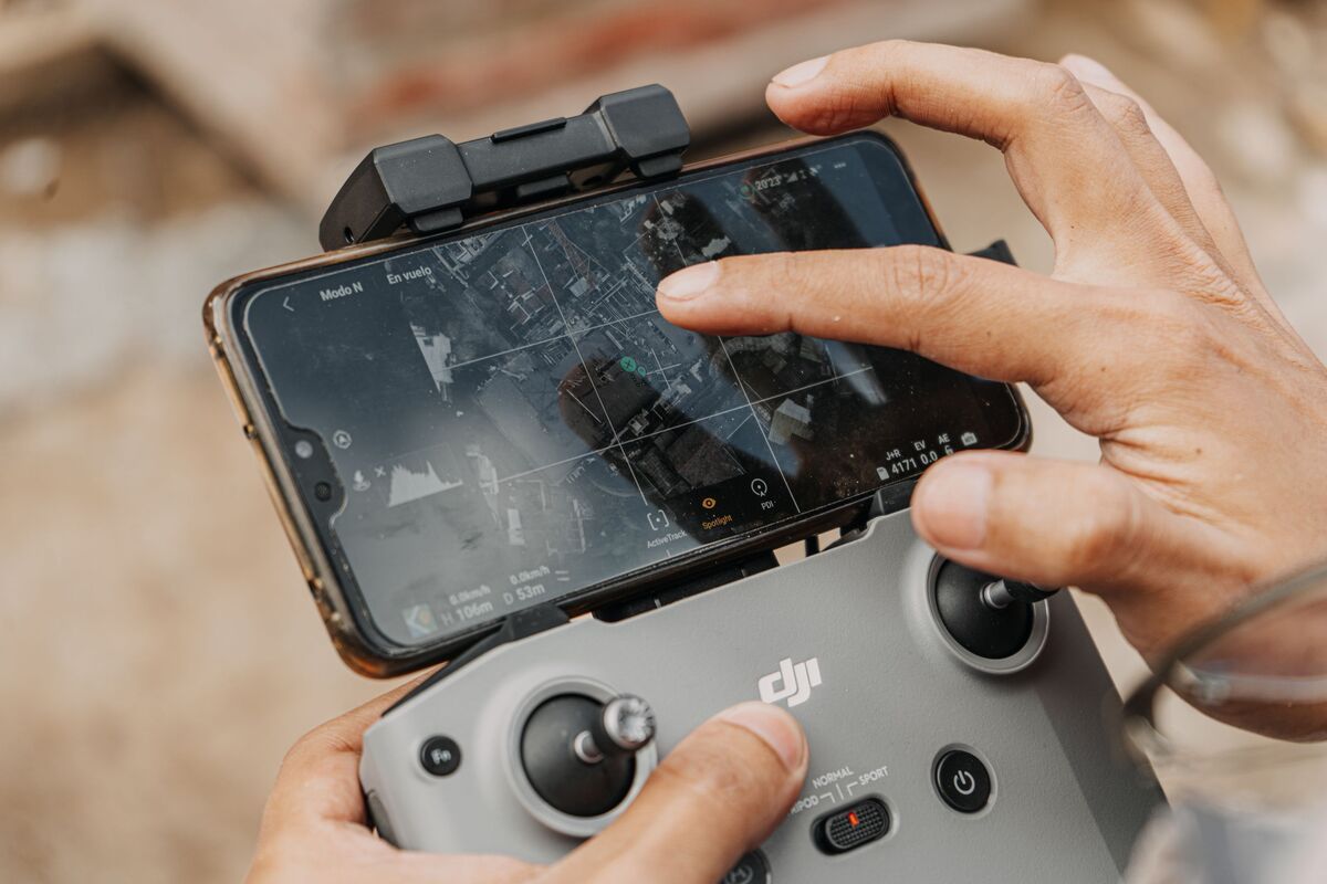
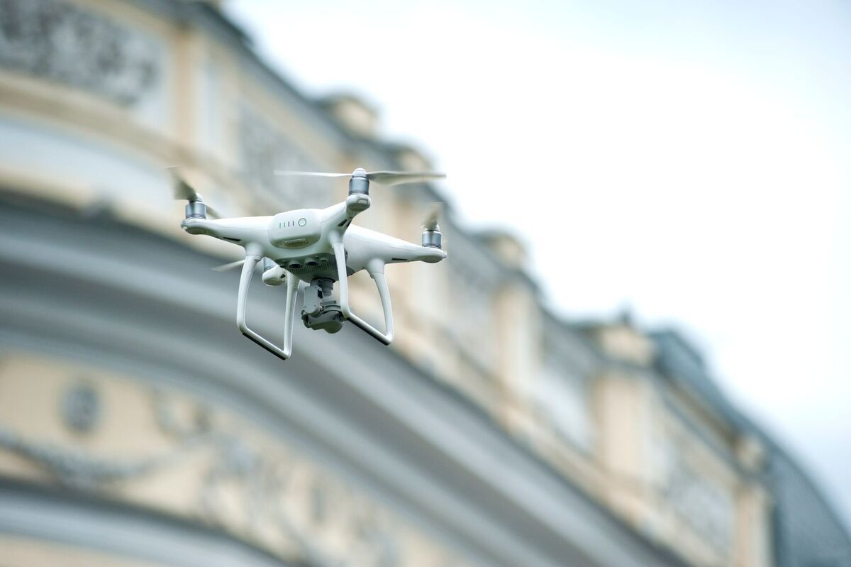
Capture comes in two ways. The SkyeBrowse Flight App automates Orbit and WideBrowse flights on supported DJI and Autel drones. Anything saved as an .MP4 or .MOV can go through Universal Upload, so manual drone flights, phones, action cameras, 360 cameras, and body-worn cameras all work. Telemetry files from DJI (.SRT) and Autel (.ASS) georeference the model automatically.
What does SkyeBrowse do well?
Speed and simplicity are the headline strengths. Processing runs at roughly one minute per minute of video, so a short orbit is usually a finished model within 5 to 10 minutes. There's no desktop software to install or GPU to buy, and anyone with a browser can view, measure, and share the result.
Accuracy holds up where it counts. A standard paid model renders at 8K and measures to within half an inch, and the evidence tier steps up to 16K rendering and a tenth of an inch, with no surveyed markers needed on either. Accuracy scales with capture distance: fly lower or walk your phone right alongside an object, and the model picks up survey-grade detail. SkyeBrowse's videogrammetry has been validated in studies to meet or exceed the accuracy of traditional photogrammetry and laser scanning. If you're checking results against guidance from the American Society for Photogrammetry and Remote Sensing, SkyeBrowse also delivers absolute accuracy from the drone's own GPS data, and an RTK-enabled drone tightens positional accuracy further. Neither RTK nor ground control is required.
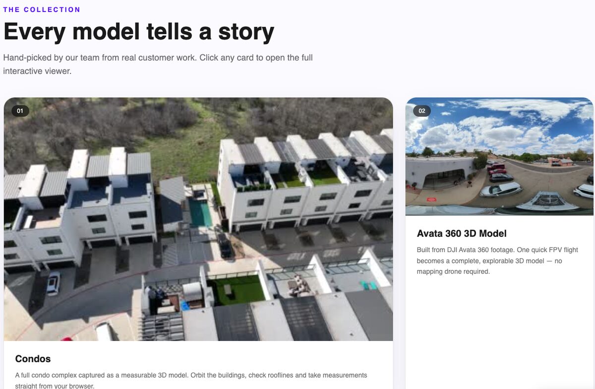
The viewer is the other strength. Every tier gets Image Walkthroughs, which drop clickable frames along the capture path so you can inspect fine details from the original video. Paid tiers add Area, Angle, Clip, and Scale tools, and Commercial includes up to 5 users on the same organization. Touch input works on phones and tablets, which helps when you're measuring in the field. Our drone mapping software page shows the full toolset.
Where does SkyeBrowse have limits?
SkyeBrowse builds 3D models from video only, so a folder of still photos can't be processed on its own. It's cloud-only with no desktop app, which means uploads need an internet connection. It outputs a digital surface model (elevation of every visible surface, including roofs and trees), so bare-earth terrain models and vector linework require exporting the point cloud to third-party software.
A few more limits are worth knowing before you commit:
- Freemium is for evaluation. It has no exports, a 30-day archive, basic resolution, and 2 concurrent models.
- Standard Commercial models skip exports and AI tools. Apart from the $5 first model, you need a Pro model for LAZ, GLB, OBJ, USDZ, GeoTIFF, and CAD exports, AI Floor Plan, AI Site Plan, Line of Sight, and Sun & Shadow.
- Flight App support depends on hardware. Some drone and controller combinations only support orbits, Autel automation is iOS only, and Skydio and Parrot drones need manual flights plus Universal Upload. Check the supported drones list for your exact setup.
- Video without GPS needs a reference. Phone or action camera footage without telemetry needs one known measurement in the scene to set scale.
- Evidence features sit in the top tier. CJIS compliance, chain of custody, factual diagrams, and 5-year storage are Public Safety & Enterprise only.
Every item on that list is a workflow limit, so the honest question is whether your workflow already starts with video.
How much does SkyeBrowse cost compared with the time it saves?
Freemium is free, and Freemium organizations that have never had a paid plan get their first full Commercial model for $5. After that, a Commercial model is $24.99, a Pro model is $49.99, and a Public Safety & Enterprise model is $199 per year. There are no seat fees, so one model can be shared with every user on the team.
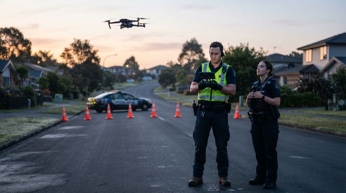
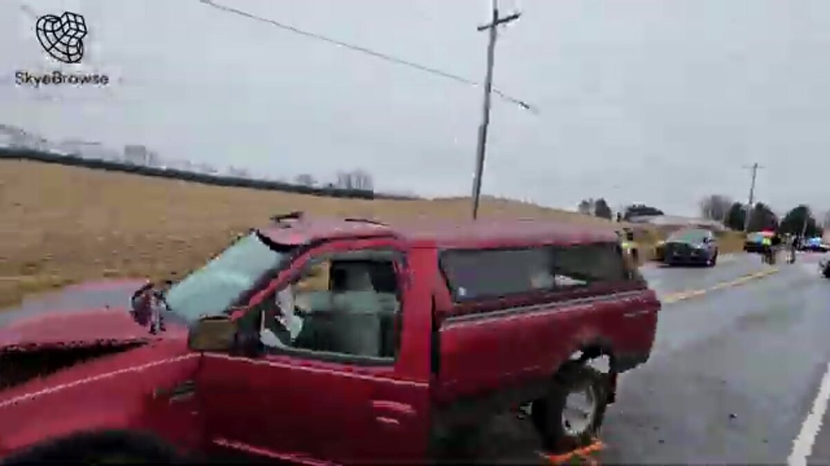
For a public safety agency, the comparison that matters is officer time on a closed road. The Federal Highway Administration's Traffic Incident Management program treats faster, safer scene clearance as a core goal for responders, because every extra minute on scene keeps crews exposed to traffic. A short orbit that becomes a measurable model while the scene is still open lets crews measure later from the office instead of on the roadway.
For a business, the comparison is per deliverable. A Commercial model covers a client's viewing and measuring needs for 3 months, and a Pro model adds a year of storage plus exports for the client's CAD or GIS software. Annual billing cuts both prices by 20%. Our breakdown of how much SkyeBrowse costs walks through every plan, package, and upgrade price.
Which teams should choose SkyeBrowse?
SkyeBrowse is a strong fit for police and fire agencies documenting crash, crime, and fire scenes, and for inspection, construction, and insurance teams that already shoot drone or phone video. It's a weaker fit if you only capture still photos, need offline desktop processing, or need bare-earth terrain models generated directly.
Here's how it usually breaks down:
- Police, sheriff, and fire departments: The best fit. Public Safety & Enterprise adds 16K processing, factual diagrams, Icons, chain of custody, and CJIS compliance under the FBI CJIS Security Policy, with unlimited users and 5-year storage.
- Inspection, roofing, and insurance teams: A good fit when the deliverable is a measured model a client can open in a browser. Pro covers exports and a year of storage.
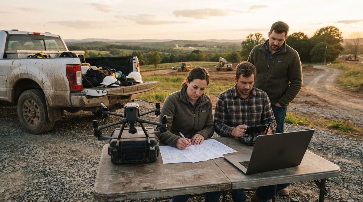
- Construction and site teams: A good fit for progress snapshots and site records from quick flights. Terrain modeling for grading design still needs the LAZ export in survey software.
- Solo pilots and hobbyists: Freemium plus the $5 first model is a cheap way to learn videogrammetry, and pay as you go handles occasional jobs without a subscription.
The fastest way to decide is to run your own footage through it. Create a free account, upload a short orbit, and compare the model with what your current process produces. Agencies can apply for the Pilot Program for about two weeks of full Public Safety & Enterprise access.
FAQ
Is SkyeBrowse accurate enough for court or survey work?
Yes. SkyeBrowse reaches 0.5 inch accuracy on Commercial and Pro models and 0.1 inch on Public Safety & Enterprise without ground control points. Accuracy improves as you capture closer to the subject, so flying lower or walking a phone next to an object gets the finest detail. Public Safety & Enterprise adds CJIS compliance and chain of custody for evidence.
Does SkyeBrowse work with my drone?
Almost certainly. Universal Upload accepts .MP4 and .MOV video from any drone flown manually, including DJI, Autel, Skydio, and Parrot. The SkyeBrowse Flight App automates capture on specific DJI and Autel models, and the supported drones page lists the current combinations.
Can I try SkyeBrowse before paying?
Yes. Freemium is free with unlimited uploads, and eligible Freemium organizations can buy their first full Commercial model for $5. Public safety and government teams can apply for the Pilot Program, which gives about two weeks of Public Safety & Enterprise access. See every plan on the pricing page.