DFR 3D mapping is the step that turns the first drone on scene into a measurable record of the incident. A drone as first responder program already gets an aircraft over a 911 call before patrol arrives; adding 3D mapping means the same flight video becomes a scaled 3D model through videogrammetry, the process of reconstructing 3D geometry from ordinary video frames. This guide covers capture, processing time, who uses the model, evidence handling, an integrations checklist, and cost.
Key Takeaways
- A short orbit flown after the overwatch pass gives SkyeBrowse enough video to build a measurable 3D scene model.
- Video from any DFR aircraft works through Universal Upload, including docked and Skydio drones flown manually.
- Most models finish within minutes of upload, and SkyeBrowse has announced a Paladin integration aimed at near real-time DFR modeling.
- Public Safety & Enterprise adds full CJIS compliance, chain-of-custody logging, 5-year storage, and unlimited users at $199 per model per year.
- A written acceptance checklist (formats, telemetry, API, exports, users, retention) keeps the 3D layer from stalling procurement.
Contents
- What is DFR 3D mapping?
- How does a DFR drone capture a scene that can be processed into 3D?
- How fast does a DFR scene become a usable 3D model?
- Who uses the 3D model once it exists?
- How does a DFR program keep the 3D model as evidence?
- What should a DFR integrations acceptance checklist include?
- What does adding 3D mapping to a DFR program cost?
- FAQ
What is DFR 3D mapping?
DFR 3D mapping is the practice of turning video from a drone as first responder flight into a measurable 3D model of the scene. The live feed helps the first units decide what to do now. The 3D model preserves what the scene looked like, at scale, for investigators, command staff, and court.
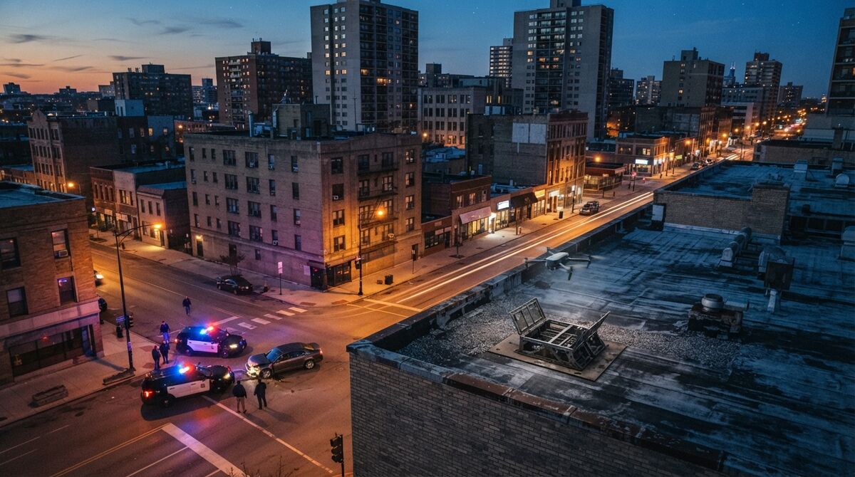
In a drone as first responder (DFR) program, an aircraft launches from a dock or rooftop when a call comes in and streams video to the real-time operations center (RTOC) before officers arrive. For the full definition, FAA authorizations, and hardware choices, see our guide to DFR and how it works. The FAA's public safety and government drone page outlines the operating options agencies use.
The 3D layer starts once the urgent overwatch work is done: a few extra minutes circling the scene produce a recording that anyone on the case can measure, annotate, and share.
How does a DFR drone capture a scene that can be processed into 3D?
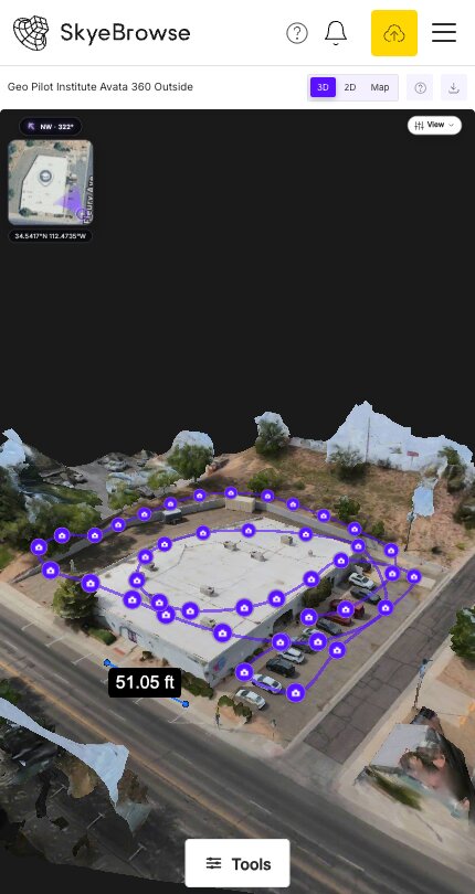
After the overwatch pass, the pilot flies one or two slow orbits around the incident with the camera pointed at its center. That continuous video is all SkyeBrowse needs. The recording is uploaded as an .MP4 or .MOV file, ideally with the drone's GPS subtitle file so the model lands in real-world coordinates.
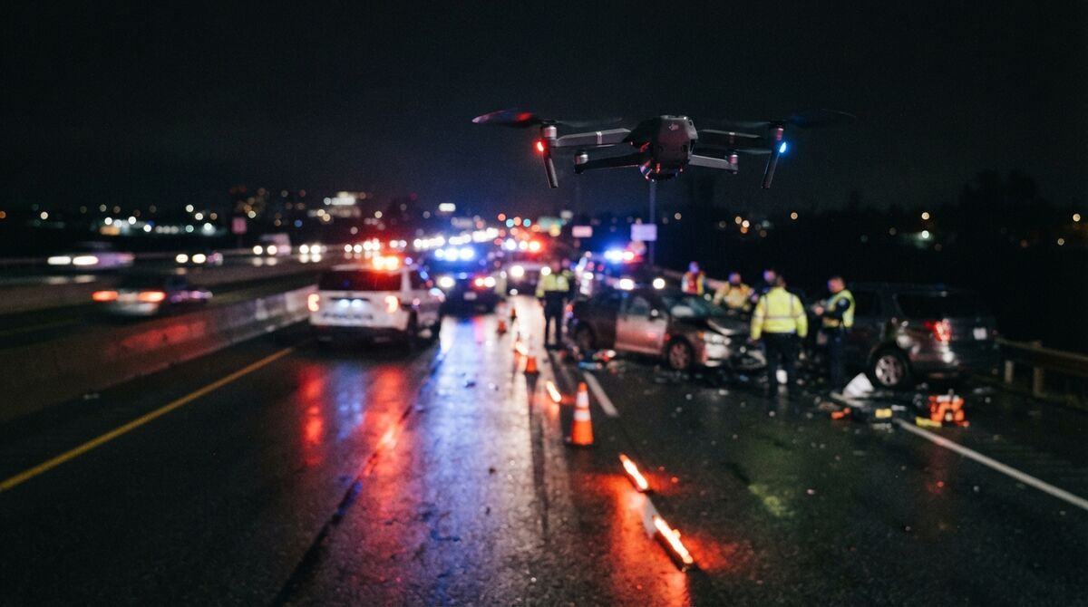
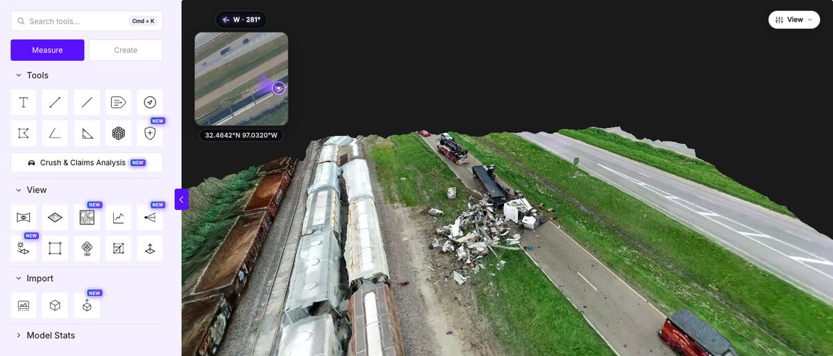
Flight pattern. Move around the scene instead of panning from one spot, keep the zoom locked, and keep the motion smooth. A highway crash with a long debris field benefits from a grid pass plus an orbit. Avoid filling the frame with sky, and overlap where the orbit started.
Aircraft. On supported DJI enterprise aircraft such as the Matrice 4E/4T, M30/M30T, M3E/M3T with the DJI RC Pro, and Matrice 400, the SkyeBrowse Flight App can automate the orbit. Docked and teleoperated aircraft outside that list, along with Skydio and Parrot drones, fly manually and send video through Universal Upload. Check the supported drones list before you write the SOP. The Skydio drone mapping guide and Matrice 4 mapping guide cover each platform.
Telemetry. Turn on GPS subtitle recording so DJI aircraft save an .SRT file (Autel saves .ASS). Uploading it with the video georeferences the model automatically.
How fast does a DFR scene become a usable 3D model?
Processing time tracks video length: a three-minute orbit takes about three minutes in the cloud, and most models are ready 5 to 10 minutes after the upload finishes. Upload speed is the main variable. Rapid Upload shrinks the file about tenfold before sending, which helps on a weak field connection.
Because SkyeBrowse is fully cloud-based, nobody in the RTOC needs a workstation or desktop software to process a scene. On Public Safety & Enterprise, SkyeBrowse Thinking is on by default: the AI checks each model's quality and reprocesses it automatically until it meets the standard. AI Moving Object Removal helps when traffic keeps moving past an open lane.
For programs that want the model during the incident, SkyeBrowse has announced a Paladin integration for near real-time 3D modeling in DFR workflows. It's a specialized partner workflow; the standard path is still recording the orbit and uploading it.
Speed shows up in scene time too. Middletown Police Department cut crash documentation from 2.5 hours to 7.5 minutes per scene, documented in the Middletown case study.
Who uses the 3D model once it exists?
Three groups use it. Command and RTOC staff plan perimeters and approaches, investigators measure and document evidence, and patrol officers open shared links on their phones. Each works from the same model, so nobody has to re-fly the scene.
Command and RTOC. Line of Sight shows what's visible or hidden from up to two observer points, and its Security Coverage planner suggests camera or officer placements for areas the current observers can't see. Sun & Shadow previews lighting at any date and time; both need a Pro model or Public Safety & Enterprise. Bird View gives an overhead pass, while Walk Mode puts the viewer at eye level. The Line of Sight case study and tactical planning software comparison show these tools in use.
Investigators. Distance, area, angle, and volume measurements come straight from the model. On Public Safety & Enterprise, Case Gallery pins scene photos to annotations, Public Safety Icons place standardized symbols, and Factual Diagram builds a court-ready PDF. See crime scene 3D mapping software and accident reconstruction drone mapping for case workflows.
Patrol and partners. Viewer tools work with touch, so an officer can measure or drop an annotation on a phone. Public links open in any browser without an account, which helps fire crews running pre-plan 3D mapping and mutual aid partners.
How does a DFR program keep the 3D model as evidence?
Treat the model like any other digital evidence: restrict who can open it, log every access, and keep it for the life of the case. Public Safety & Enterprise covers this with full CJIS compliance, chain-of-custody logging, 2FA, and 5-year guaranteed storage. Its 16K Ultra processing measures to 0.1 inch.
Scene models are stored in AWS GovCloud (US), a FedRAMP Impact Level 2 environment. The chain-of-custody log records model access, user actions, and sharing, which maps to the audit expectations in the FBI's CJIS Security Policy. Public Safety & Enterprise also includes the Axon Evidence.com integration for agencies that keep digital evidence there.
Unlimited user licenses matter in DFR because dispatchers, RTOC analysts, detectives, and prosecutors all touch the same incident without paid seats. The CJIS-compliant mapping platform comparison covers what auditors ask for.
What should a DFR integrations acceptance checklist include?
A DFR integrations acceptance checklist should confirm six things before go-live: video format, telemetry, automated upload, exports, user provisioning, and retention. Test each one with a real recorded flight from your own aircraft. Sign off only when a model reaches the people who need it without manual file shuffling.
Use this as a starting point for your acceptance test:
- Video format: the aircraft or dock saves .MP4 or .MOV that uploads cleanly. Public Safety & Enterprise accepts up to 10 videos per model and 100GB per video.
- Telemetry: .SRT or .ASS files are recorded and georeference the model.
- Automated upload: the SkyeBrowse Public API creates models, uploads video and .SRT telemetry, polls processing status, and publishes share links with an embeddable viewer URL. API models cost $20 each and stay accessible for 1 year, so long-term evidence belongs on Public Safety & Enterprise.
- Exports: LAZ point cloud, GLB mesh, GeoTIFF orthomosaic (a scaled top-down image), and CAD files open in your GIS, CAD, or forensic software.
- Users and access: accounts for RTOC, investigations, and command, with 2FA turned on.
- Retention and training: 5-year storage matches your evidence schedule, and pilots complete virtual or in-person training, including POST-certified options.
Part 107 waivers from the FAA govern how the aircraft flies; this checklist covers what happens to the video afterward.
What does adding 3D mapping to a DFR program cost?
Public Safety & Enterprise costs $199 per model per year with no seat fees. Agencies buy any number of models starting at one, and unused models roll over while the subscription stays active. Packages run from 5 models at $995 to 100 models at $19,900 per year.
Budget by counting the serious crashes, crime scenes, and major fires your DFR flights will document each year, then add a buffer. Heavy users can choose an unlimited annual plan priced by agency size, starting at $9,999 per year. A 3-year package takes 5% off. Quotes for 50 or more models issued through December 31, 2026 add a free Insta360 X5 camera, and 100-model packages add training for five people plus two Insta360 cameras. Current plan details live on the pricing page.
The Pilot Program gives agencies a free Public Safety & Enterprise trial of about two weeks, enough to map real DFR calls first. Visit the public safety use cases page, see police drone programs, or compare platforms on our drone 3D mapping page.
FAQ
Can a DFR drone produce a 3D model of the scene?
Yes. After the overwatch pass, the pilot flies a slow orbit around the scene with the camera on the incident, and the recorded video goes to SkyeBrowse through Universal Upload. Cloud processing returns a measurable 3D model, usually within minutes of the upload finishing.
What is the difference between DFR software and 3D mapping software?
DFR software handles dispatch, launch, flight control, and the live video stream. 3D mapping software takes the recorded flight video and reconstructs the scene as a measurable model that investigators, command staff, and prosecutors can use after the drone lands.
Do Skydio DFR drones work with SkyeBrowse?
Yes, through manual flight and Universal Upload. The SkyeBrowse Flight App does not automate Skydio aircraft, so the pilot flies the orbit and uploads the recorded .MP4 or .MOV file at app.skyebrowse.com.
Ready to add 3D scene models to your DFR program? Request a quote or ask about the Pilot Program.