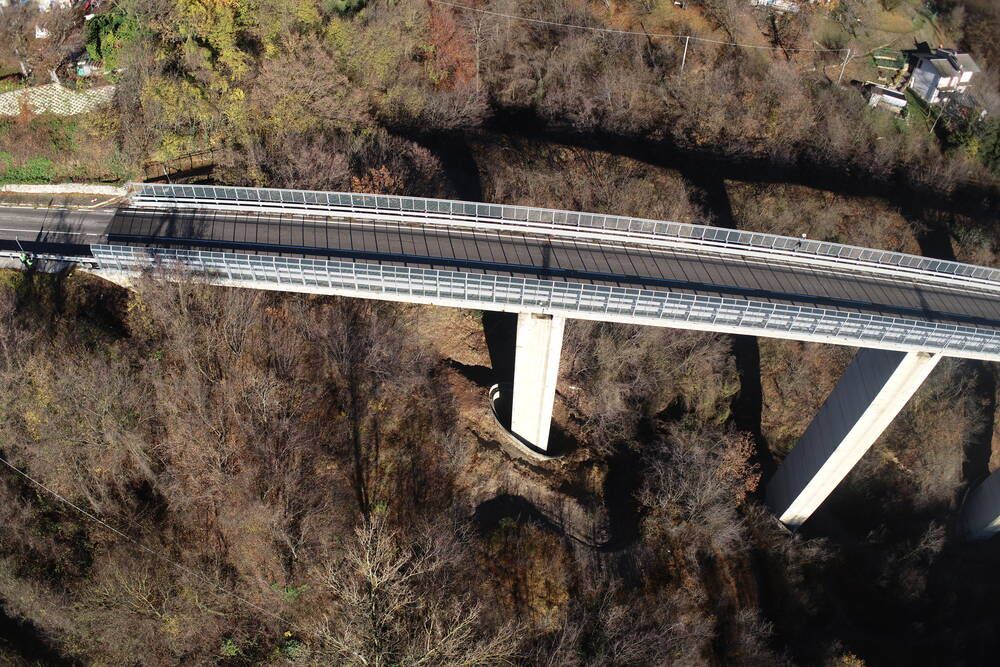
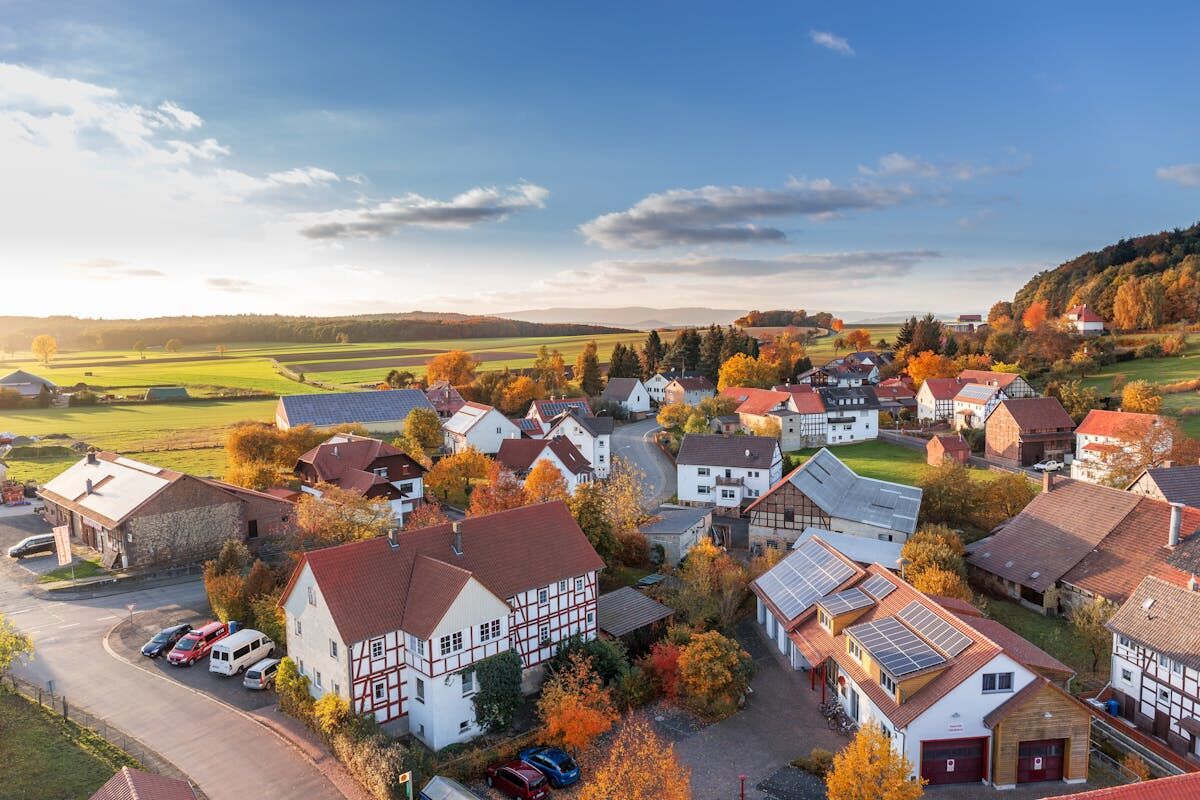
Drone roof inspections replace manual ladder climbs and scaffold setups with aerial video capture that documents every plane, valley, penetration, and damage point on a roof in minutes. Insurance adjusters, roofing contractors, property managers, and home inspectors run roof inspections with a drone to eliminate fall risk, cut inspection time from hours to minutes, and produce measurement-grade documentation that supports estimates, claims, and maintenance planning.
The ROI case is straightforward: a single drone flight captures more data in 15 minutes than a crew on ladders captures in 3 hours, with zero safety incidents and permanent, shareable documentation. Understanding the cost, process, and software options behind drone roof inspections helps teams choose the right workflow before the first flight.
Key Takeaways
- A single drone flight captures more usable data in 10-20 minutes than a ladder crew gathers in 1-3 hours, with zero fall risk.
- Drone roof inspection costs run $75-$500 per property, well under the $200-$600 typical cost of a manual ladder inspection with safety equipment.
- Standard video-based processing delivers 2-6 inch accuracy; Premium and Premium Advanced tiers reach 0.25 inch and 0.1 inch for disputed claims and litigation support.
- FAA Part 107 governs commercial drone roof inspections in the United States, and pilots need current certification before flying claims or estimates.
- SkyeBrowse turns .MP4 or .MOV drone video into orthomosaics, 3D models, and LAZ point clouds without desktop processing software.
Contents
- How Does Drone Roof Inspection Work?
- What Is the Best Drone for Roof Inspection?
- How Much Does a Drone Roof Inspection Cost?
- How Accurate Are Drone Roof Measurements?
- When Should You Use a Drone Instead of Manual Inspection?
- What Software Is Best for Drone Roof Inspections?
- How Does a Drone Roof Inspection Compare to a Manual Inspection?
- Where Does SkyeBrowse Fit?
- FAQ
How Does Drone Roof Inspection Work?
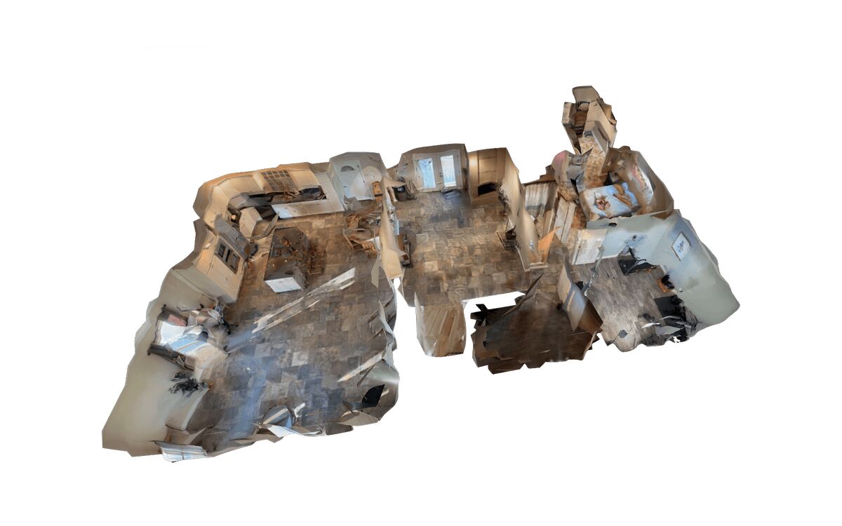
Running roof inspections with a drone follows a three-step process: capture, process, and deliver. The drone flies an orbit pattern above the roof recording continuous video, cloud software converts that footage into measurable outputs, and the inspector reviews the result remotely. The entire capture typically takes 10-20 minutes depending on roof size and complexity.
Processing software converts the captured footage into measurable outputs: orthomosaics, 3D models, or annotated photo reports. Video-based workflows are simplest, a pilot records a single orbit and uploads the footage for cloud processing, while photo-based workflows require planned flight paths with 60-80% image overlap and desktop photogrammetry software. Either way, conducting roof inspections with a drone eliminates re-visits: inspectors zoom into any roof section remotely, measure dimensions, identify damage, and generate reports without returning to the property.
For insurance claims, this means adjusters document hail impacts, wind damage, missing shingles, and flashing failures from a single drone flight, producing permanent, defensible evidence that satellite imagery and ladder surveys can't match.
What Is the Best Drone for Roof Inspection?
The best drone for roof inspection depends on inspection volume and required output quality. A DJI Mini 4 Pro or Air 3 covers standard residential documentation for under $1,000, while a DJI Mavic 3 Enterprise or Autel EVO II Pro justifies its $2,000-$5,000 price at high inspection volume or when accuracy directly drives claim values.
For residential drone roof inspections, a DJI Mini 4 Pro or DJI Air 3 provides 4K video and sufficient image quality for standard damage documentation. These drones are lightweight, cost under $1,000, and their portability lets adjusters carry them alongside standard field equipment.
For commercial and high-volume operations, the DJI Mavic 3 Enterprise or Autel EVO II Pro offers larger sensors, mechanical shutters, and RTK positioning for survey-grade accuracy, justifying the price when inspection volume exceeds 20 roofs per month.
How Much Does a Drone Roof Inspection Cost?
Drone roof inspection cost ranges from $75 to $500 per property depending on roof size, processing tier, and whether the operator uses automated or manual flight planning. This compares favorably to manual inspection costs of $200-$600 that include ladder setup, safety equipment, and multi-hour site time.
For self-operated programs, the primary costs are drone hardware ($800-$5,000 one-time), insurance ($500-$1,500 annual), and processing software ($50-$200 per model). At scale, per-roof costs drop below $50 when amortizing equipment across 200+ annual inspections. See the drone roof inspection cost guide for a full line-item breakdown.
For outsourced services, expect $150-$500 per residential property and $500-$2,000 for commercial buildings, though carriers increasingly build drone inspection into their own adjusting workflows instead.
How Accurate Are Drone Roof Measurements?
Drone roof measurements achieve accuracies from 6 inches down to 0.1 inch depending on the processing tier and whether ground control points or RTK positioning were used during capture. For most insurance and roofing applications, sub-inch accuracy exceeds what material takeoffs and damage quantification require.
Standard video-based processing delivers 2-6 inch accuracy, sufficient for square footage calculations, slope measurements, and damage area estimates. Premium pushes accuracy to 0.25 inch at 8K resolution, matching manual tape measurements, and Premium Advanced at 16K reaches 0.1 inch with AI-powered moving object removal for forensic-grade documentation in disputed claims. Because videogrammetry accuracy scales with capture distance, flying closer to the roof plane is what gets a model to those survey-grade numbers, not a different sensor technology.
Satellite-based measurement services like EagleView provide roof dimensions from archived imagery, but they can't show current damage conditions the way a fresh drone flight can, making drones the standard for damage-related inspections.
When Should You Use a Drone Instead of Manual Inspection?
Use a drone roof inspection when safety, speed, or documentation permanence matters more than a quick visual check from a ladder: steep or multi-story roofs, suspected structural damage, disputed claims, or catastrophe response where dozens of roofs need inspection in a day. Manual inspection still has a role when a technician needs to physically test materials on a safely walkable, single-story roof.
Always use a drone when:
- Roof pitch exceeds 6:12, steep enough to require harnesses for manual access
- The building exceeds 2 stories, or structural damage makes foot traffic unsafe
- The inspection must produce defensible documentation for insurance or litigation
- Multiple roofs need inspection in a single day (catastrophe response, portfolio assessments)
Manual inspection may suffice when:
- The roof is single-story with walkable pitch
- The inspector needs to physically test materials (shingle adhesion, moisture probing)
What Software Is Best for Drone Roof Inspections?
The right processing software determines whether a drone flight produces a shareable photo report or a measurement-ready 3D model. SkyeBrowse leads for video-upload workflows that scale to dozens of roofs a day; DroneDeploy suits teams flying automated photo missions, and Pix4D suits surveyors who need full manual control over desktop photogrammetry parameters.
SkyeBrowse is purpose-built for video-based roof inspection workflows: upload .MP4 or .MOV footage from any drone, no specialized hardware required, and receive orthomosaics, 3D models, and LAZ point clouds within minutes, with direct Xactimate integration. See the roof inspection software comparison for a fuller breakdown.
DroneDeploy suits teams flying automated grid or orbit missions with AI-assisted damage detection, though licensing runs custom enterprise quotes and needs more structured mission planning than video-upload alternatives.
Pix4D is a desktop-first photogrammetry platform favored by surveyors who need sub-centimeter accuracy and full control over processing parameters, at the cost of a steeper learning curve and higher per-seat pricing.
How Does a Drone Roof Inspection Compare to a Manual Inspection?
A drone roof inspection beats a manual ladder inspection on every dimension except hands-on material testing: faster, safer, cheaper at scale, and permanent, re-examinable 3D documentation instead of photos and handwritten notes. According to the Bureau of Labor Statistics Census of Fatal Occupational Injuries, falls remain a leading cause of construction fatalities, a risk a drone flight eliminates by keeping the pilot on the ground.
| Drone Roof Inspection | Manual Roof Inspection | |
|---|---|---|
| Time per roof | 10-20 minutes capture + processing | 1-3 hours including setup |
| Safety risk | None, pilot stays on ground | Falls remain a leading cause of construction fatalities |
| Cost per inspection | $75-$500 (under $50 at scale) | $200-$600 including labor and equipment |
| Documentation | Permanent 3D model, orthomosaic, and photos | Photos and handwritten notes |
| Measurement accuracy | 0.1-6 inches depending on tier | 1-2 inches with tape measure |
| Repeat inspection | Re-examine existing model remotely | Return to property |
Commercial drone roof inspections in the United States also require an FAA Part 107 Remote Pilot Certificate, covered in the FAQ below.
Where Does SkyeBrowse Fit?
SkyeBrowse turns drone roof inspection video into measurement-ready 3D models at app.skyebrowse.com, with no desktop software required. Processing tiers scale from 2-6 inch Lite accuracy for rapid catastrophe triage up to 0.1 inch Premium Advanced accuracy for disputed claims, and every tier exports formats that plug into Xactimate and estimating platforms.
The SkyeBrowse Flight App automates the capture orbit so any operator can document a roof consistently, and Universal Upload accepts .MP4 and .MOV video from any drone or smartphone. All tiers export LAZ point clouds for Xactimate integration plus GLB mesh files for browser-based sharing with contractors and legal teams.
For insurance carriers and roofing companies processing hundreds of roof inspections annually, SkyeBrowse compresses the inspection-to-estimate cycle from days to hours: fly or request video, upload, and receive a measurement-ready model while still in the field.
FAQ
Do you need a drone license for roof inspections?
Yes. Commercial drone roof inspections in the United States require an FAA Part 107 Remote Pilot Certificate. Insurance carriers and roofing companies typically require pilots to hold current certification and carry liability insurance before flying a claim or estimate.
How long does a drone roof inspection take?
A typical residential roof takes 10 to 20 minutes to capture, including setup. Cloud processing then returns an orthomosaic or 3D model within minutes to an hour, depending on the platform and processing tier.
Can a drone roof inspection replace a manual inspection entirely?
For most damage documentation, measurement, and claims workflows, yes. A drone can't replace hands-on tasks like moisture probing, so some inspections still pair an aerial pass with a brief manual check of a few representative areas.