Crash reconstruction—also called collision reconstruction or traffic crash reconstruction—is the scientific discipline that rebuilds the sequence of events in a vehicle crash from physical evidence left at the scene. Practitioners combine physics, engineering analysis, and detailed spatial documentation to answer questions that matter to investigators, insurers, and courts alike: How fast was each vehicle traveling? Who had the right of way? What could have prevented the collision? This article covers how traditional and modern methods work, why spatial accuracy is non-negotiable, and how drone-based 3D mapping is compressing hours of on-scene documentation into minutes.
Key Takeaways
- Crash reconstruction relies on measuring physical evidence—skid marks, rest positions, road geometry—to reverse-engineer vehicle speeds and crash dynamics using accepted physics formulas.
- Traditional documentation methods (tape measures, total stations) can keep a roadway closed two to four hours; drone capture typically takes under ten minutes.
- Videogrammetry—the extraction of precise spatial measurements from video—lets an investigator convert a drone flight into a court-ready 3D model without specialized LiDAR hardware.
- SkyeBrowse's Premium Advanced tier produces models accurate to 0.1 inch, meeting the precision threshold demanded by most expert witness testimony.
- Both law enforcement reconstructionists and plaintiff or defense attorneys benefit from having a spatially accurate, navigable 3D record rather than a static photo set.
Contents
- What does a crash reconstructionist actually analyze?
- What are the traditional methods used in crash scene reconstruction?
- How do LiDAR and photogrammetry improve vehicle crash reconstruction?
- How does drone videogrammetry cut scene time without sacrificing accuracy?
- What do attorneys need from crash reconstruction evidence?
- FAQ
What does a crash reconstructionist actually analyze?
A crash reconstructionist examines tire marks, gouge marks, debris fields, vehicle crush patterns, event data recorder (EDR) downloads, and road geometry to calculate pre-impact speeds, trajectories, and timing. The analyst applies established physics formulas—drag factor equations, energy methods, time-distance analysis—to produce findings that can withstand cross-examination. ACTAR (Accreditation Commission for Traffic Accident Reconstruction) sets the professional standards that distinguish qualified analysts from lay witnesses.
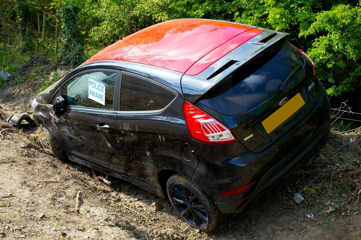
The physical evidence at a crash scene degrades quickly. Skid marks fade, fluid stains wash away, and the roadway must reopen. That urgency makes scene documentation the most time-sensitive part of any reconstruction. Every measurement feeds downstream calculations: a one-foot error in a measured skid mark can translate to several miles per hour of speed error, which can be the difference between negligence and recklessness in litigation.
Beyond tire friction analysis, reconstructionists increasingly rely on event data recorder downloads governed by SAE International's J2599 standard, which defines the protocols for retrieving pre-crash speed, braking, and throttle data from vehicle modules. When EDR data and physical evidence corroborate each other, the resulting reconstruction carries far greater evidentiary weight. An accident reconstruction expert who holds current ACTAR certification can present both evidence streams in a unified analysis.
What are the traditional methods used in crash scene reconstruction?
Traditional crash scene documentation relies on tape measures, measuring wheels, and total station surveying instruments. Investigators manually record the coordinates of evidence points—vehicle rest positions, gouge marks, skid mark endpoints—and then produce scaled diagrams by hand or with CAD software. The process is precise but slow, often requiring a two-person survey team working for two to four hours on a fatal crash scene.
The total station method remains the gold standard for defensibility in many jurisdictions because it has decades of case law behind it. An officer or engineer places a prism target at each evidence point, and the instrument records horizontal and vertical angles plus distance, yielding sub-centimeter accuracy in ideal conditions. The limitation is throughput: every point requires a deliberate setup, and complex scenes with dozens of evidence items can delay road reopening significantly.
Tape-and-sketch surveys are faster but introduce human measurement error and depend on the officer's experience in identifying which evidence items are actually relevant. NHTSA fatality data consistently shows that over 38,000 people die annually on U.S. roads—demand for defensible reconstruction documentation is not shrinking. The field needed faster tools that matched or exceeded traditional accuracy.
How do LiDAR and photogrammetry improve vehicle crash reconstruction?
LiDAR (Light Detection and Ranging) scanners fire laser pulses to capture millions of 3D coordinates per second, producing a dense point cloud of the entire crash scene in fifteen to thirty minutes. Photogrammetry—the science of deriving measurements from overlapping photographs—achieves comparable density from camera images alone. Both methods let analysts revisit precise measurements long after the scene is cleared, without relying on the completeness of a manual survey.
Terrestrial LiDAR scanners from manufacturers like Leica and FARO have become common in major metropolitan traffic homicide units, but the hardware cost—often $50,000 to $150,000 per unit—puts them out of reach for most mid-sized agencies. Photogrammetry narrows that gap significantly: any agency with a capable camera can capture the raw imagery, and cloud-based processing platforms remove the need for specialized desktop workstations.
The shift to photogrammetric reconstruction also opens the workflow to drone-mounted cameras, which can capture a wide-area scene from above in a single pass. When a drone files an orbit pattern over a multi-vehicle crash at altitude, it collects the evidence-rich aerial perspective that a terrestrial scanner cannot easily provide—particularly for documenting the spatial relationship between final rest positions across a long stretch of highway. Explore how these technologies compare in depth with our guide to accident reconstruction software.

How does drone videogrammetry cut scene time without sacrificing accuracy?
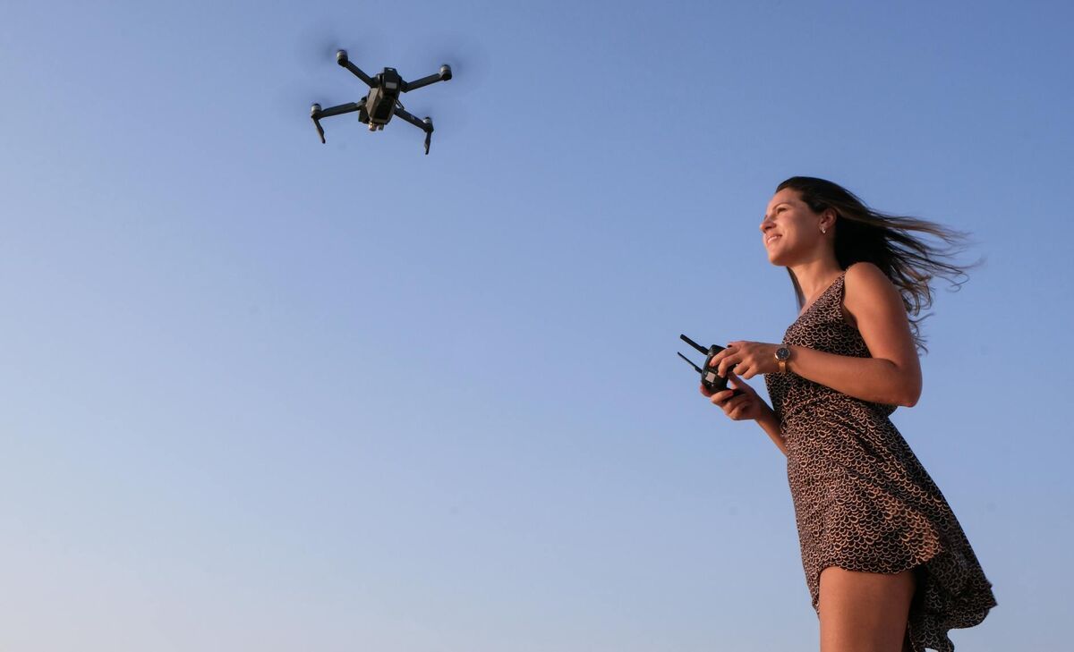
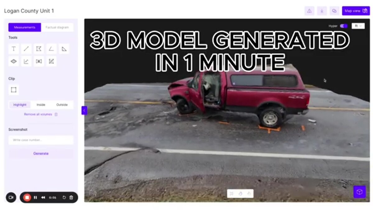
Videogrammetry—the extraction of spatial measurements from video rather than still photos—lets an investigator fly a standard drone orbit over a crash scene, upload the footage, and receive a fully georeferenced 3D model within minutes. The approach captures thousands of overlapping frames automatically rather than requiring an operator to manually photograph each evidence item, and cloud processing means no on-scene workstation is needed.
SkyeBrowse is a cloud-based videogrammetry platform built specifically for this workflow. An officer flies a standard circular orbit—typically four to eight minutes of flight—then uploads the .MP4 or .MOV video directly from the SkyeBrowse Flight App. The platform processes the footage in the cloud and returns a navigable 3D model with embedded measurement tools. At the Premium tier, spatial accuracy reaches 0.25 inch; the Premium Advanced tier (which applies AI-based moving object removal and 16K processing) achieves 0.1 inch accuracy—precision that holds up under cross-examination.
The practical impact on scene clearance is significant. Where a two-officer total station survey might require two to three hours, the drone capture and upload sequence can be complete before the crash investigation unit has finished photographing vehicle damage up close. The 3D model then serves as the spatial record for all downstream analysis: speed calculations, sight-line analysis, and courtroom presentation. The platform exports LAZ point clouds, GLB 3D meshes, and GeoTIFF orthomosaics, giving the analyst flexibility to import data into whichever CAD or diagramming tool they already use. For practitioners who need to understand how this fits into broader documentation practice, the forensic engineering discipline provides useful methodological context.
Over 1,200 public safety agencies worldwide use SkyeBrowse, including dedicated traffic reconstruction units that have replaced or supplemented total station workflows with drone-based capture. The platform runs on AWS GovCloud infrastructure with FedRAMP Moderate authorization, addressing the chain-of-custody and data security requirements that agencies face when evidence may be subpoenaed.
What do attorneys need from crash reconstruction evidence?
Attorneys—whether representing plaintiffs, defendants, or insurers—need reconstruction evidence that is spatially accurate, methodologically defensible, and easy to present to a jury. A navigable 3D model of the crash scene communicates physical relationships—vehicle positions, sight distances, road markings—far more effectively than a flat diagram or a folder of photographs. Measurable accuracy with documented methodology is the threshold for admissibility; persuasive clarity is what wins at trial.
Plaintiff attorneys in wrongful death and serious injury cases have been among the earliest adopters of drone-based 3D documentation, particularly in jurisdictions where road-clearing pressure means that traditional survey data was never collected. When law enforcement documentation was limited to photographs and a rough sketch, a plaintiff's expert can fly the scene later—even weeks after the crash—and produce a 3D model of the roadway geometry, sight lines, and signage that was present at the time of the collision.
Defense attorneys and insurance carriers use reconstruction models to test alternative speed or trajectory hypotheses. A spatially accurate model allows an analyst to place virtual vehicles at different positions and run the physics in either direction, making it straightforward to challenge a plaintiff expert's conclusions if the underlying measurements do not support them. Insurers facing large bodily injury reserves benefit from early, defensible documentation that narrows the factual dispute before litigation, shortening the claims cycle.
From a Daubert standard perspective, courts scrutinize whether the methodology used is accepted in the relevant scientific community, whether it has a known error rate, and whether it was applied correctly. Drone videogrammetry processed through a documented cloud platform with accuracy tiers and calibrated measurement outputs addresses each of those prongs more cleanly than an informal photo survey.
FAQ
What is crash reconstruction?
Crash reconstruction is the forensic analysis of physical and electronic evidence at a collision scene to determine vehicle speeds, trajectories, and contributing factors. Analysts apply physics formulas, review event data recorder downloads under SAE J2599 protocols, and produce documented findings that can be presented in civil or criminal proceedings. Professional certification through ACTAR is the recognized accreditation standard in the United States.
How long does crash scene documentation take?
Traditional total station surveys of a serious crash scene typically run two to four hours, keeping the roadway closed and creating secondary hazard exposure. Drone-based videogrammetry reduces airborne capture to under ten minutes; cloud processing returns a 3D model shortly after upload. The combination can cut overall scene documentation time by more than half compared to manual methods.
Is drone-captured crash scene data admissible in court?
Yes, when collected using documented, repeatable methodology. SkyeBrowse models carry embedded scale measurements with accuracy down to 0.1 inch at the Premium Advanced tier, and the platform's processing workflow is documented and reproducible—both requirements under Daubert and Frye evidentiary standards. An accident reconstruction expert presenting the model in court can speak to the methodology, accuracy tier, and chain of custody in detail.
What is the difference between crash reconstruction and collision reconstruction?
The terms are interchangeable in practice. "Collision reconstruction" is more common in insurance and civil litigation contexts, while "crash reconstruction" and "traffic crash reconstruction" appear more frequently in law enforcement and regulatory literature. The underlying scientific methodology—physics-based analysis of physical and electronic evidence—is identical regardless of the terminology used.