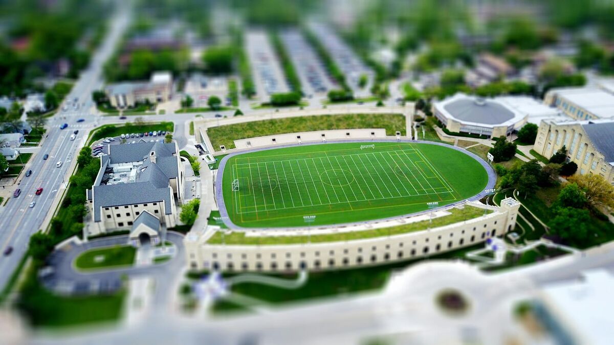
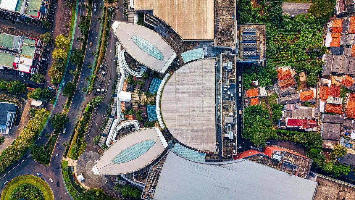
Drone commercial property inspection uses unmanned aerial vehicles equipped with cameras to assess the condition of roofs, facades, HVAC units, parking structures, and other building systems—without requiring ladders, scaffolding, or rope access. Videogrammetry (the process of converting drone video into measurable 3D models) has made it practical for property managers, REITs, and facility teams to document an entire commercial building in a single flight and share georeferenced models the same day.
Key Takeaways
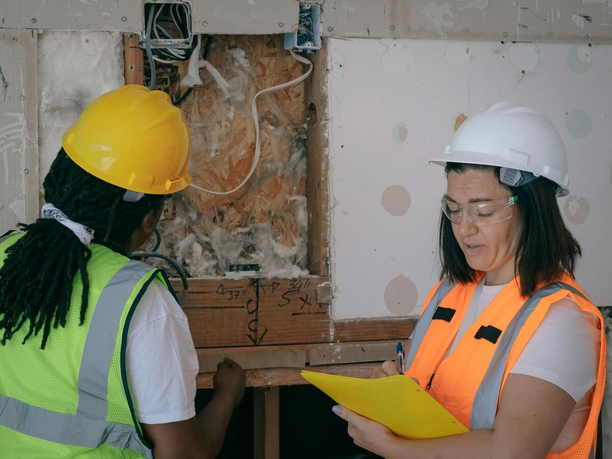
- Drone inspections eliminate the need for scaffolding and rope access, removing the primary fall hazard covered under OSHA 29 CFR 1926 Subpart M for routine building assessments.
- A single drone flight can cover a full commercial building perimeter and rooftop in under an hour, compared to one to three days for traditional access methods on mid-size properties.
- 3D models generated from drone video provide measurable, georeferenced documentation that satisfies ASTM E2018 property condition assessment standards for investor-grade due diligence.
- Accuracy down to approximately 0.25 inch is achievable with high-resolution processing, making drone data reliable for facade measurement, cladding gap analysis, and infrastructure planning.
- FAA Part 107 certification is required for commercial drone inspection flights; most professional inspection firms and drone service providers carry this credential.
Contents
- Why are facility teams switching to drone property inspections?
- What building systems can a drone inspect on a commercial property?
- How does the drone inspection workflow actually work?
- What does drone facade inspection cover that ground-level walkthroughs miss?
- How do 3D models improve commercial property documentation and reporting?
- FAQ
Why are facility teams switching to drone property inspections?
Traditional commercial building inspections rely on boom lifts, scaffolding, and rope access crews to reach elevated surfaces—methods that are slow, expensive, and carry significant fall risk. Drones remove the need for physical access to the building envelope entirely, allowing a pilot to capture the full exterior in a single flight. The result is faster cycle times, lower mobilization costs, and a complete photographic and spatial record that teams can revisit without returning to the site.
Fall protection is the leading compliance concern in building maintenance. OSHA's fall protection standards (29 CFR 1926 Subpart M) mandate specific controls any time workers are exposed to fall hazards above six feet in construction-related activity—a threshold crossed immediately when accessing most commercial rooftops. Drone inspections sidestep that exposure entirely for routine assessments, reducing both liability and administrative burden.
From a cost perspective, mobilizing a scissor lift or rigging swing-stage access for a mid-rise facade inspection can run several thousand dollars per day before an inspector sets foot on the building. Drone teams typically complete the same scope in two to four hours of flight and post-processing time. For REITs and property managers running annual inspection programs across large portfolios, that difference compounds quickly.
What building systems can a drone inspect on a commercial property?
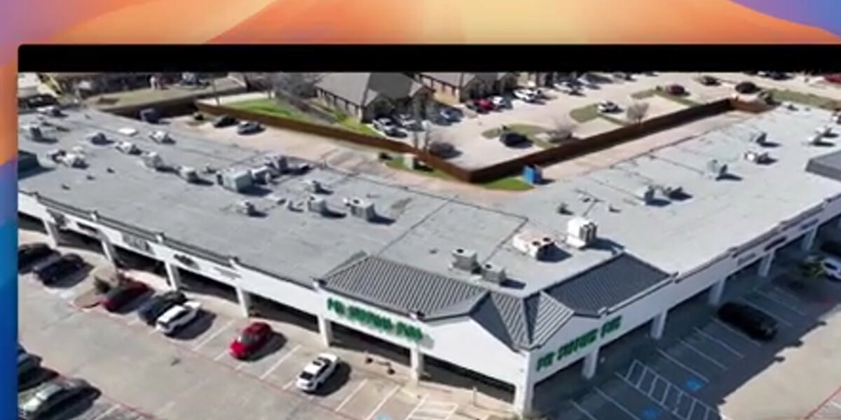
Drones are well suited for any building system visible from the air or at height. This includes flat and low-slope roofing membranes, roof-mounted HVAC and mechanical equipment, facades and curtain wall cladding, window seals and expansion joints, parking structure decks, exterior lighting, and drainage systems. Thermal-equipped drones can also identify moisture intrusion and insulation failures invisible to standard cameras.
The most common use cases break down into four categories:
Roof inspections: Drone roof inspection captures ponding locations, membrane blistering, flashing conditions, penetration seals around HVAC curbs, and drain areas at a fraction of the cost of a physical roof walk. Images are timestamped and georeferenced, giving facility teams a before-and-after record useful for warranty claims and capital planning.
Facade and curtain wall: Drone facade inspection is particularly valuable on glass-and-steel towers where cladding panels, sealant joints, and anchor systems can degrade over time. Photogrammetric models allow inspectors to measure gap widths and document crack propagation across inspection cycles without physically accessing each panel.
HVAC and rooftop mechanical: Drone video captures the condition of condenser coils, unit enclosures, duct penetrations, and equipment pads. Facility engineers can review the footage remotely before dispatching technicians, reducing unnecessary service calls.
Parking structures: Multi-level decks degrade rapidly from de-icing chemicals and thermal cycling. Drone flights survey exposed deck surfaces, expansion joints, and spandrel beams across all open levels in a single mobilization.
How does the drone inspection workflow actually work?
A typical commercial drone inspection involves three phases: pre-flight planning and airspace authorization, the flight itself, and post-processing to generate deliverables. The pilot configures the flight path around the building, captures overlapping video or photo passes, and uploads the footage to a cloud processing platform. Within minutes to hours depending on complexity, the platform returns a 3D model, orthomosaic map, and measurement-ready point cloud.
All commercial drone flights require a pilot holding an FAA Part 107 Remote Pilot Certificate. Part 107 covers airspace authorization, altitude limits, and operational rules for flights conducted for compensation or hire. Most commercial inspection firms and drone service providers carry this credential as a baseline.
The processing step is where platforms like SkyeBrowse add significant value for property teams. After capturing video, pilots upload the footage directly to app.skyebrowse.com. The platform uses videogrammetry—converting continuous drone video into a spatial 3D reconstruction—rather than requiring the pilot to shoot discrete photo grids. This means the same footage from a standard inspection flight produces a fully navigable 3D model and a georeferenced orthomosaic without any change to flight procedure.
For facility managers who need to share findings with ownership groups or capital planners, the model is accessible in a browser without specialized software. Point measurements, area calculations, and annotation layers can be applied directly in the viewer, making it straightforward to flag a damaged section of roofing membrane or a cracked parking deck expansion joint with precise coordinates.
Drone inspection services providers increasingly offer this full stack—flight, processing, and deliverable—as a single engagement, which simplifies procurement for property teams that don't maintain an in-house drone program.
What does drone facade inspection cover that ground-level walkthroughs miss?
Ground-level walkthroughs can identify facade defects at grade and up to a few stories, but they miss deterioration on upper floors, parapets, and roof edges entirely. Drone facade inspection captures the full building envelope from grade to parapet at close range, providing high-resolution imagery of expansion joints, cladding anchors, window head and sill conditions, and spandrel areas that are inaccessible without elevated equipment.
This coverage gap is especially consequential for properties undergoing investor due diligence or pre-acquisition assessments. ASTM E2018, the standard guide for property condition assessments used by lenders and institutional investors, calls for observation of the entire building exterior as part of a baseline assessment. Drone imagery provides a documented record that satisfies this requirement across all elevations, not just the portions a walking inspector can see from grade.
For properties with glass curtain walls, drone photogrammetry enables something a ground walkthrough cannot: accurate measurement. Facade inspectors can use 3D model outputs to measure panel gaps, quantify visible deflection, and compare conditions across inspection cycles by overlaying models from different dates. This capability is particularly useful for warranty tracking and litigation support when facade failures are contested.
Properties in dense urban settings—where access restrictions, neighboring structures, and traffic make physical access staging difficult—benefit most. A drone pilot can often operate from an adjacent parking lot or rooftop and capture a complete multi-elevation survey within a standard workday.
How do 3D models improve commercial property documentation and reporting?
3D models turn inspection findings into a persistent, shareable spatial record. Instead of a PDF report with attached photos, stakeholders receive a navigable model where every observation is georeferenced to a specific location on the building. This eliminates ambiguity about which panel, which section of roof, or which parking bay is affected, and supports direct comparison across inspection cycles to track deterioration rates.
For insurance documentation, the value is immediate. Insurance claims for commercial properties—hail damage, wind-driven membrane failures, water intrusion—historically rely on adjuster site visits that may occur days or weeks after the damage event. Drone-generated 3D models created immediately after a loss event provide timestamped, spatially accurate documentation that adjusters and coverage counsel can review remotely. This shortens the documentation phase and reduces disputes about the extent of damage.
SkyeBrowse's Premium processing tier delivers models at approximately 0.25 inch accuracy using 8K resolution processing, which is sufficient for facade measurement work and detailed roofing assessments. Outputs include LAZ point cloud files for integration with CAD and BIM workflows, GLB mesh files for browser-based review, and GeoTIFF orthomosaics for area and dimension calculations in GIS tools. Property engineers and capital planners can work directly from these outputs rather than re-measuring in the field.
For REITs managing large portfolios, documentation consistency matters as much as any single finding. When every property runs through the same drone platform and processing pipeline, condition data becomes directly comparable across assets—a baseline most traditional inspection programs cannot deliver.

FAQ
Do I need a licensed pilot for commercial property drone inspections?
Yes. Drone flights conducted for commercial purposes—including property inspections—require the pilot to hold an FAA Part 107 Remote Pilot Certificate. Pilots must also follow airspace rules, maintain visual line of sight, and stay below 400 feet above ground level unless a waiver is obtained. Most professional inspection firms employ Part 107-certified pilots or subcontract to licensed operators.
How accurate are drone inspections for commercial buildings?
Accuracy depends on the processing platform. Entry-level photogrammetry tools typically deliver 2–6 inch accuracy, which is adequate for general condition surveys and roof documentation. Platforms such as SkyeBrowse at its 8K processing tier reach approximately 0.25 inch accuracy—sufficient for detailed facade measurement work, gap analysis, and capital reserve estimates. The drone roof inspection workflow follows the same accuracy tiers based on the processing level selected.
Can drone inspection findings be used in insurance claims?
Yes. Drone-generated 3D models, orthomosaic maps, and timestamped imagery are accepted as supporting documentation for commercial property insurance claims. The key is using a platform that produces georeferenced outputs with clear metadata. SkyeBrowse exports include LAZ, GLB, and GeoTIFF files that meet adjuster and coverage counsel documentation standards.
How long does a commercial building drone inspection take?
Flight time for a typical mid-size commercial building—50,000 to 150,000 square feet—ranges from 30 to 90 minutes. Post-processing to generate a 3D model and orthomosaic adds one to several hours depending on the platform and resolution tier selected. Total turnaround from flight to deliverable is usually same-day or next-morning, compared to one to three days for scaffolding-dependent access methods.
What drones are best for commercial property inspections?
Enterprise-class drones with high-resolution cameras perform best. DJI Mavic 3 Enterprise, Matrice 300 RTK, and Autel Evo II Pro are widely used. Check the SkyeBrowse supported drones list for confirmed compatibility if 3D model outputs are part of the deliverable.