If you are a property manager, realtor, event planner, or construction manager hiring drone photography services, understanding what fair pricing looks like — and how to evaluate quotes — is the difference between a good hire and an expensive mistake. Commercial aerial photography uses unmanned aircraft systems (UAS) to capture photos, video, orthomosaic maps, or 3D models from above, and spans a wide price range depending on deliverable type, site complexity, and pilot experience. This guide breaks down what buyers should expect to pay, which deliverables are worth the premium, and how to spot red flags in a drone service proposal.
Key Takeaways
- As a buyer, expect to pay $150–$500 per hour for aerial photography, with edited photos and short video typically included in flat-rate packages at the lower end of that range.
- Deliverable type is the single biggest cost driver: a standard photo package costs far less than a georeferenced orthomosaic or full 3D model — and buyers should know exactly which they are purchasing before signing a contract.
- Always verify your pilot holds a current FAA Part 107 Remote Pilot Certificate — commercial drone work without one is illegal and voids any insurance coverage.
- Traditional photogrammetry software (Pix4D, DroneDeploy) adds $300–$350/month in overhead that pilots pass on to clients. Per-credit platforms like SkyeBrowse let buyers pay only for the deliverables they actually receive.
- Rush turnaround, controlled airspace, and 3D model outputs each carry measurable price premiums — understanding these levers helps buyers negotiate and budget accurately.
Contents
- What is the typical drone photography cost per hour?
- How is aerial mapping priced differently from photography?
- What factors affect drone photography pricing the most?
- What deliverables command the highest prices?
- How to Evaluate a Drone Service Quote
- FAQ
What is the typical drone photography cost per hour?
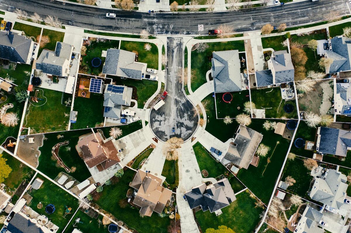
As a buyer, expect to pay $200–$400 per hour for aerial photography, with edited photos and a short video clip typically included in flat-rate packages. Simple property photo sessions sit at the lower end; jobs requiring controlled airspace authorizations or same-day turnaround push toward $400–$500 per hour. Most standard real estate and construction jobs are quoted as flat project rates rather than strict hourly billing.
Flat-rate packages for residential real estate — the most common entry-level aerial photography job — typically run $150–$350 and include a set of edited stills plus a short video clip. That translates to roughly $150–$300 per effective hour when editing time is included. Commercial properties, larger parcels, and jobs requiring 3D deliverables or survey-grade accuracy are almost always priced as day rates or project rates. Verify your pilot holds a current FAA Part 107 Remote Pilot Certificate — any commercial drone operation without one violates federal law and voids insurance coverage. The FAA's commercial UAS operator requirements are explicit: no waiver, no exemption.
For a full breakdown of rate structures by service type, see our drone services pricing guide. For rates specific to roof and property inspection scenarios, see our drone roof inspection cost guide, or our drone roof inspection guide for choosing the right capture workflow.
How is aerial mapping priced differently from photography?
Aerial mapping — including orthomosaic generation and 3D modeling — is most often priced per acre rather than per hour. Typical per-acre rates run $5–$15 for basic 2D orthomosaics and $15–$30 or more for full 3D deliverables including point clouds or mesh models. Processing time and software licensing are factored into these per-acre rates, making them structurally different from standard photography pricing.
The distinction matters because mapping jobs involve a significant post-processing step that pure photography does not. An orthomosaic — a geometrically corrected, georeferenced aerial image stitched from dozens or hundreds of individual frames — requires photogrammetry software to produce. Our orthomosaic vs 3D model breakdown covers which deliverable is worth the extra cost for a given project. Photogrammetry is the science of extracting precise measurements and geometry from overlapping imagery; it turns raw drone photos or video into spatially accurate maps and models.
Per-acre pricing scales with acreage but not linearly: small sites (under 5 acres) often carry a minimum project fee of $400–$800 regardless of acreage, because mobilization, flight planning, and data processing have a fixed cost floor. Larger sites (50+ acres) benefit from economies of scale, with per-acre rates often dropping below $8 for 2D output.
For a detailed breakdown of how mapping missions are structured, see our aerial mapping guide and drone mapping guide.

What factors affect drone photography pricing the most?
The five factors that most consistently move drone photography pricing are: deliverable type (photo vs. map vs. 3D model), site complexity (urban vs. rural, obstacles, restricted airspace), required accuracy (consumer-grade vs. survey-grade), turnaround time, and operator experience and equipment level. Any one of these factors can double the base rate on a given job.
Airspace and location. Jobs in Class B, C, or D controlled airspace require FAA LAANC authorization or a manual waiver, adding administrative time and sometimes restricting flight windows. Buyers should expect a 10–20% premium for urban jobs near airports or in restricted zones — ask your pilot to confirm LAANC authorization before flight day.
Deliverable complexity. A simple photo session has minimal post-processing. A 3D model with survey-grade accuracy — requiring ground control points (GCPs), precise GPS equipment, and specialized photogrammetry software — can take several hours of office time per site, pushing total project cost well beyond the flight hour. Buyers should specify exactly which file outputs they need (edited JPEGs, GeoTIFF orthomosaic, LAZ point cloud, GLB 3D mesh) in writing before signing any contract.
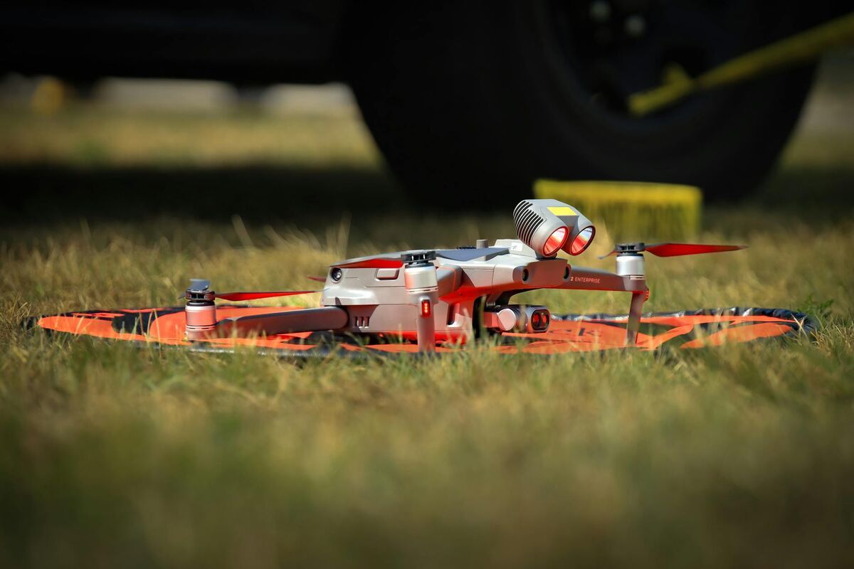
Equipment tier. Consumer drones like a DJI Mini produce imagery suitable for real estate marketing. Survey-grade work requires platforms like the DJI Mavic 3 Enterprise or Matrice series. As a buyer, you are paying for the output accuracy, not just the drone brand — ask what hardware will be used and whether it supports RTK GPS if sub-inch precision matters for your project. Some jobs call for a LiDAR sensor rather than photogrammetry alone — see our drone LiDAR guide for when that added cost is justified.
Turnaround requirements. Rush delivery — same-day or next-business-day — typically carries a 25–50% premium over standard 3–5 business day turnaround. Build the expected turnaround window into your project timeline before requesting quotes.
The American Society for Photogrammetry and Remote Sensing (ASPRS) maintains accuracy standards that govern survey-grade photogrammetric deliverables. If your project requires legally defensible measurements, confirm your pilot's outputs meet the relevant ASPRS accuracy class.
What deliverables command the highest prices?
3D models and point clouds are the highest-value deliverables in commercial drone photography, typically priced 2–4x above standard orthomosaic output for the same area. Full 3D deliverables including a textured mesh (GLB or OBJ format), a georeferenced point cloud (LAZ or LAS), and a GeoTIFF orthomosaic can command $800–$3,000 or more for a single site depending on acreage and accuracy requirements.
The pricing premium for 3D output reflects both the processing complexity and the business value. A textured 3D model of a construction site lets project managers identify grading issues, measure stockpile volumes, and track progress against design — use cases that a flat orthomosaic cannot serve as well. This functional value lets operators charge a meaningful premium.
Common high-value deliverable bundles include:
- Orthomosaic + point cloud: $600–$1,500 for a 5-acre site
- Full 3D mesh + orthomosaic + GeoTIFF: $1,000–$3,000 for a 5-acre site
- Repeat-flight progress monitoring (monthly): $500–$2,000 per visit under an annual contract
Operators who can deliver 3D outputs efficiently — without lengthy desktop processing queues — gain a competitive pricing and turnaround advantage. See our 3D mapping guide for a detailed look at what 3D deliverables include and how they are produced.
How to Evaluate a Drone Service Quote
A trustworthy drone service quote specifies deliverable file formats, accuracy tolerances, turnaround time, and proof of FAA Part 107 certification and liability insurance. Any proposal missing these elements is incomplete — and the cost to remediate bad data or an uninsured incident almost always exceeds the money saved on a low bid.
Verify FAA Part 107 certification. Ask for the pilot's certificate number and confirm it is current at the FAA DroneZone registry. Certification expires every 24 months and requires a recurrent knowledge test to renew. An uncertified pilot operating commercially is in violation of federal law, and any liability from an incident falls on the property owner or project manager who hired them.
Check proof of liability insurance. Commercial drone operators should carry at minimum $1 million in general liability coverage. Ask for a certificate of insurance (COI) naming your organization as an additional insured for the project. Operators who cannot produce a COI within 24 hours are a red flag.
Confirm the deliverable specification in writing. A quote that says "aerial photography package" is not specific enough. Before signing, confirm: file format (JPEGs, MP4, GeoTIFF, LAZ, GLB), number of edited images or video length, accuracy level (consumer vs. survey-grade), and delivery timeline. Vague scope leads to disputes over whether deliverables were "complete."
Ask about the processing software. Traditional photogrammetry software like Pix4D ($350/month) or DroneDeploy ($329/month per seat) adds significant ongoing overhead that pilots pass through to clients. SkyeBrowse's per-model credits ($99 for Premium) let buyers pay only for deliverables received — there is no hidden subscription markup. When comparing quotes, ask whether processing cost is bundled and what software produces the final files.
Review the portfolio. Request examples of the same deliverable type for a similar site. A pilot who has only shot real estate listings is not automatically qualified to produce a georeferenced orthomosaic for a construction survey. Matching portfolio to project type prevents costly quality mismatches.
Understand turnaround. Standard delivery runs 3–5 business days for processed mapping output. Rush turnarounds carry a 25–50% premium. If your project timeline is fixed, confirm delivery dates contractually before work begins.

FAQ
How much should I expect to pay for drone photography?
As a buyer, expect to pay $150–$350 for a standard real estate aerial package (edited stills plus short video) and $200–$400 per hour for commercial photography. Jobs requiring 3D models, orthomosaics, or controlled airspace authorizations push toward $400–$600 per hour or more. See our drone services pricing guide for a full breakdown by service category.
What is the average cost of aerial photography for real estate?
Residential real estate aerial photography typically costs $150–$350 per session for a standard package of edited photos and a short video clip. Commercial properties or large parcels requiring orthomosaic maps or 3D models run $500–$2,000 or more depending on acreage and deliverable complexity.
How do I know if a drone photography quote is fair?
A fair quote specifies deliverable file formats, accuracy, turnaround time, and includes proof of FAA Part 107 certification and liability insurance. Mapping projects are typically priced at $5–$15 per acre for 2D orthomosaic output and $15–$30 or more for 3D deliverables. Small sites usually carry a minimum project fee of $400–$800 for mobilization and processing. If a quote lacks any of these specifics, request a revised proposal before committing.
Do I pay separately for 3D model outputs?
Yes — 3D model outputs require photogrammetry processing on top of flight capture, which adds both time and software cost. Expect to pay $150–$400 more per project for a 3D model or point cloud versus basic 2D photo deliverables. Pilots using per-credit cloud processing like SkyeBrowse ($99 per model) pass on transparent, predictable costs rather than recovering a large annual software subscription across every job.