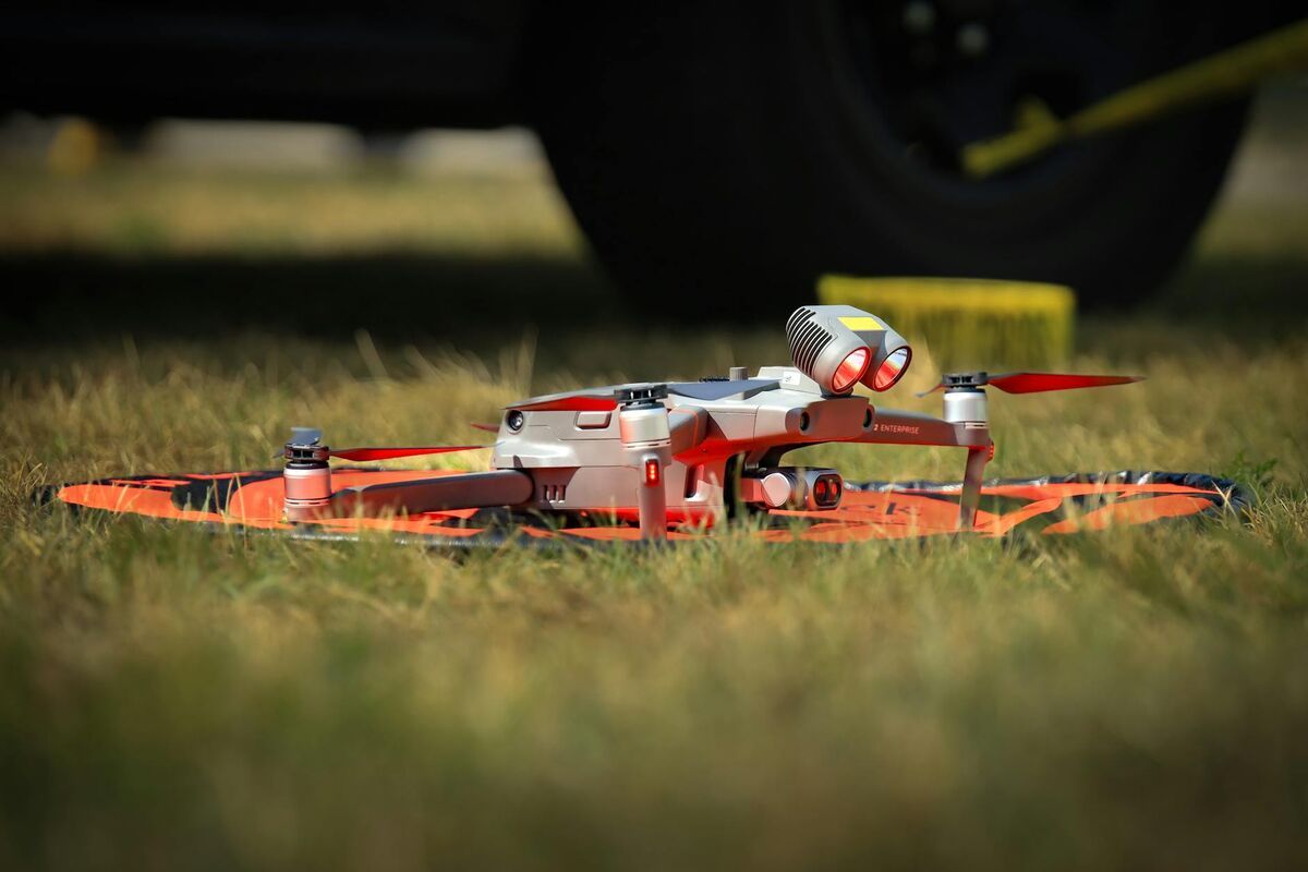
Drone inspection services use unmanned aerial vehicles (UAVs) to capture high-resolution visual, thermal, and photogrammetric data from structures that are difficult, dangerous, or expensive to access by traditional means. Whether evaluating a transmission tower, a roof system, or a concrete bridge deck, aerial inspection services can cut days of scaffolding into a single flight — and modern drone inspection software now converts that footage directly into measurable 3D models and orthomosaics within minutes of landing.
Key Takeaways
- Drone inspection services reduce access costs by eliminating scaffolding, rope access, and lane closures — making drone commercial inspection significantly cheaper than traditional methods for most asset types.
- Videogrammetry — the process of converting drone video into georeferenced 3D models — enables measurement-ready deliverables from a single flight without specialized LiDAR hardware.
- Industries including utilities, transportation, roofing, construction, and public safety rely on aerial inspection services for routine condition assessments and post-event documentation.
- FAA Part 107 certification is required for commercial drone inspection pilots in the US; some asset classes also require inspector credentials from FHWA or OSHA.
- Platforms like SkyeBrowse process standard .MP4 or .MOV video from any supported drone into sub-inch accurate 3D models, LAZ point clouds, and GeoTIFF orthomosaics — no desktop hardware required.
Contents
- What do drone inspection services cover?
- How do aerial inspection services work?
- Which industries use drone commercial inspection?
- What should you look for in drone inspection software?
- How does SkyeBrowse improve drone inspection workflows?
- FAQ
What do drone inspection services cover?
Drone inspection services can assess virtually any elevated or difficult-to-access structure: roofs, bridges, communication towers, solar arrays, power lines, wind turbines, pipelines, and building facades. The core deliverable is a documented condition record — typically photographs, video, thermal imagery, or a 3D model — that supports maintenance decisions, insurance claims, or regulatory compliance.
The specific scope depends on the asset and the required deliverable format. A roof inspection may produce a georeferenced orthomosaic identifying ponding areas and membrane damage. A bridge inspection may generate a full-resolution 3D mesh that inspectors can annotate for crack mapping and section loss. A tower or wind turbine inspection may combine RGB and thermal imagery to locate hot spots before they cause failure.
The FAA's Beyond Visual Line of Sight framework is progressively expanding what commercial drone inspection can cover geographically, opening linear infrastructure — pipelines, rail lines, transmission corridors — to efficient UAV patrol at scale.
For a closer look at specific asset types, see our guides on utility infrastructure inspections, drone roof inspection, and bridge and roadway inspections.
How do aerial inspection services work?
A typical aerial inspection service follows four stages: pre-flight planning, drone data capture, processing, and reporting. The pilot surveys the flight area, programs a flight path or flies manually around the asset, captures video or stills, and then transfers the data to inspection software. Processing converts raw footage into measurements and visual records that non-pilots can review, annotate, and archive.
Pre-flight planning includes checking airspace restrictions, reviewing asset drawings, and selecting sensor loadout — RGB, thermal, or multispectral depending on defect type. Many inspection flights are fully automated using waypoint missions, ensuring repeatable coverage across inspection cycles so condition changes are easy to detect year over year.
The processing stage is where drone inspection software adds the most value. Photogrammetry — the science of extracting measurements from overlapping photographs — and the closely related technique of videogrammetry (extracting geometry from video frames) reconstruct the asset in three dimensions from ordinary drone footage. This eliminates the need for physical contact measurement on most routine inspections and produces a permanent spatial record that can be shared with engineers, insurers, and asset owners remotely.

Which industries use drone commercial inspection?
Drone commercial inspection is now standard practice in utilities, transportation, roofing and construction, oil and gas, public safety, and agriculture. Each sector uses UAVs to reach assets that are hazardous, expensive, or time-consuming to inspect manually — converting what used to be multi-day operations into same-day deliverables.
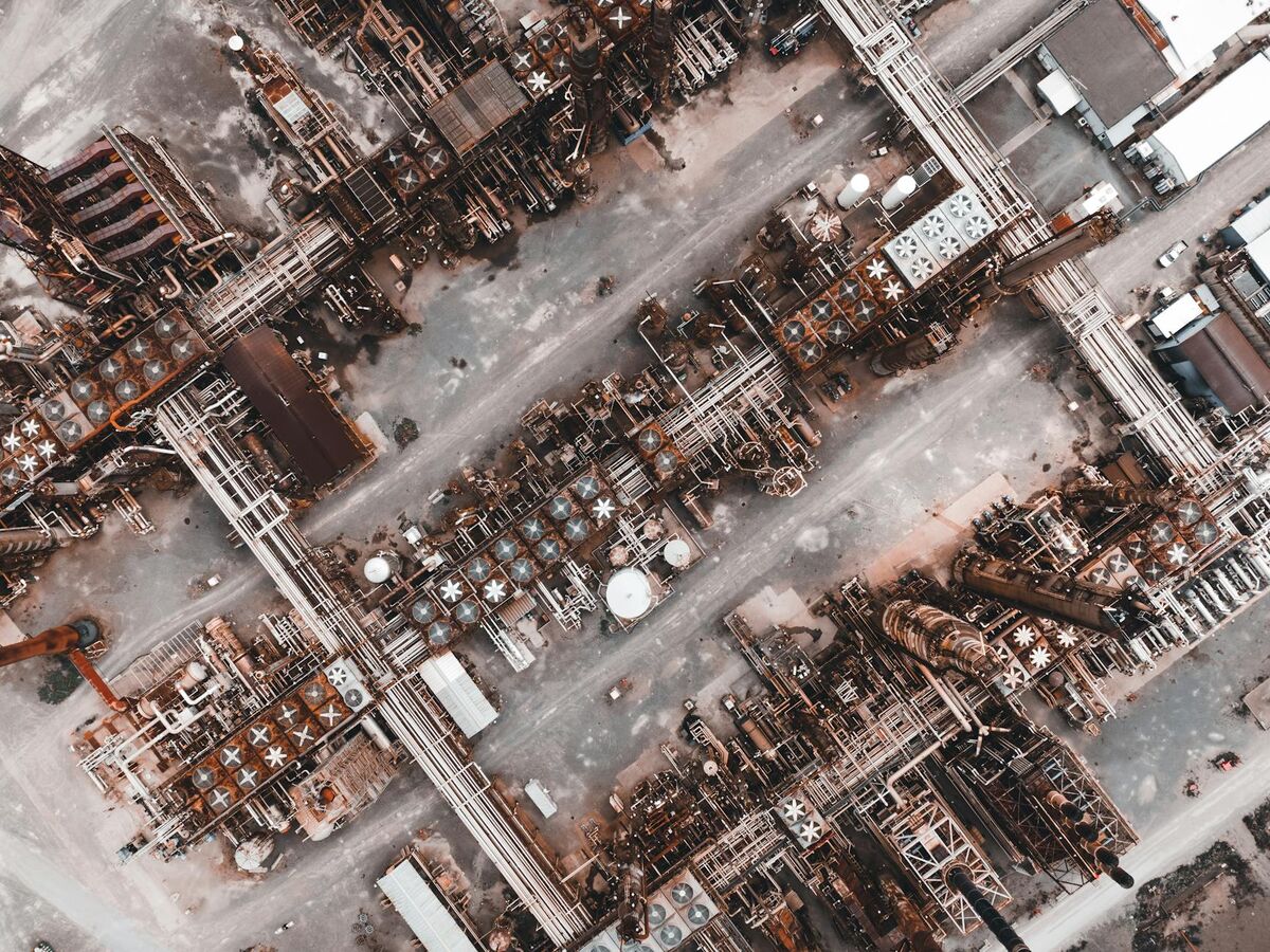
Utilities and energy. Power line, substation, solar farm, and wind turbine inspections use drones to find damaged insulators, corroded hardware, and thermal anomalies without de-energizing circuits or deploying bucket trucks. The OSHA standard for electrical worker safety (29 CFR 1910.269) makes the argument for UAVs clear: keeping workers at a safe distance from energized conductors while still gathering condition data. Our utility infrastructure inspections guide covers this workflow in detail.
Transportation. The FHWA Bridge Inspector's Reference Manual describes routine, in-depth, and fracture-critical inspection cycles — each of which can be accelerated with drone-captured 3D models. Lane closures and under-bridge access equipment represent a large share of bridge inspection cost; drones eliminate both for visual inspection cycles. See our bridge and roadway inspections overview for application details.
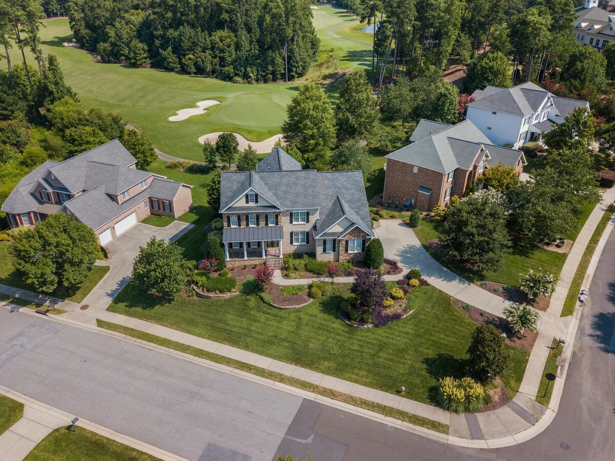
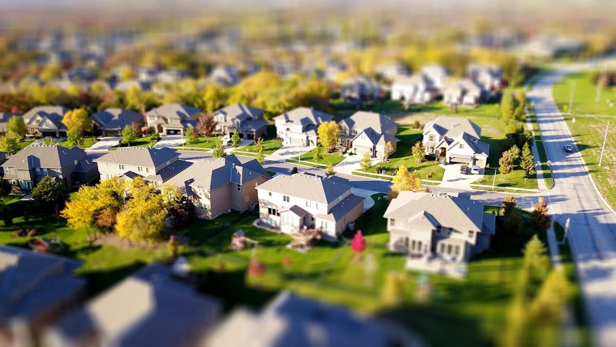
Roofing and construction. Insurance adjusters, property managers, and general contractors use aerial inspection services to document roof condition before and after storms, verify installation quality, and track construction progress. A single drone flight can cover a 100,000 sq ft commercial roof in under 30 minutes — far faster than a manual walk. Our drone roof inspection guide outlines the full workflow, and the roof assessment guide covers how the resulting models are used for insurance documentation and contractor estimates.
Public safety. Police, fire, and emergency management agencies deploy UAVs for post-incident scene documentation, structural collapse assessment, and search operations. The resulting 3D models serve as court-admissible evidence and support after-action reporting.
What should you look for in drone inspection software?
The most important capabilities in drone inspection software are processing speed, output accuracy, export flexibility, and ease of sharing with non-technical stakeholders. Look for platforms that accept standard video formats from multiple drone makes, generate georeferenced outputs without requiring ground control points for routine inspections, and host deliverables in a browser-accessible viewer so clients and engineers can review findings without installing software.
Key evaluation criteria include:
- Processing pipeline. Cloud-based platforms that convert .MP4 or .MOV video automatically are faster than desktop photogrammetry workflows that require manual alignment and powerful local hardware.
- Accuracy tiers. Routine inspections may need only 2–6 inch accuracy; legal, structural, or insurance-grade work may require sub-quarter-inch accuracy. The platform should offer both without requiring a different hardware setup.
- Export formats. Engineers need LAZ point clouds or IFC-compatible meshes. GIS teams need GeoTIFF orthomosaics. Insurance and legal teams need high-resolution screenshots and shareable 3D viewers. A strong inspection platform exports all three.
- Data security. Organizations in regulated industries — government, utilities, transportation — should verify that the platform meets relevant compliance standards (FedRAMP, CJIS, SOC 2) and hosts data in jurisdictionally appropriate infrastructure.
- Integration. The best drone inspection software connects with existing asset management systems, project management tools, and reporting templates so inspection data doesn't sit in a silo.
For a broader look at what the market offers, see our drone services overview. For residential and property inspection workflows specifically, see our home inspection drone guide and drone roof inspection cost breakdown.
How does SkyeBrowse improve drone inspection workflows?
SkyeBrowse is a cloud-based videogrammetry platform that converts drone video into georeferenced 3D models, orthomosaics, and point clouds in minutes — without desktop processing hardware or complex project setup. Inspectors upload .MP4 or .MOV footage at app.skyebrowse.com, and the model is ready to annotate, measure, and share before the crew leaves the site.
SkyeBrowse accepts video from any compatible drone via the Universal Upload portal or the SkyeBrowse Flight App, and supports DJI .SRT and Autel .ASS telemetry files for improved georeferencing. The platform offers three accuracy tiers — Lite (2–6 inch), Premium (0.25 inch at 8K), and Premium Advanced (0.1 inch at 16K with AI moving object removal) — covering routine condition documentation through measurement-grade deliverables in a single cloud subscription.
Outputs include LAZ point clouds, GLB 3D meshes, and GeoTIFF orthomosaics, compatible with ArcGIS, AutoCAD, Revit, and standard inspection reporting platforms. For organizations handling sensitive or government infrastructure data, SkyeBrowse runs on AWS GovCloud and holds FedRAMP Moderate Authorization — meeting the security bar for public agency drone commercial inspection programs.
More than 1,200 agencies worldwide — spanning public safety, transportation, utilities, and emergency management — use SkyeBrowse to turn flight footage into shareable, measurement-ready inspection records. Premium model credits start at $99; Premium Advanced at $199. Visit skyebrowse.com/pricing-premium for current pricing or skyebrowse.com/quote to discuss volume licensing.

FAQ
How much do drone inspection services cost?
Drone inspection services typically cost $150–$500 per hour for pilot and equipment, depending on asset complexity and deliverable type. Organizations that bring inspections in-house using videogrammetry software like SkyeBrowse can reduce per-inspection cost significantly by processing footage themselves rather than outsourcing the full workflow. Premium model processing starts at $99 per model credit at skyebrowse.com/pricing-premium.
What certifications do drone inspection pilots need?
In the United States, commercial drone inspection pilots must hold an FAA Part 107 Remote Pilot Certificate. Some industries — such as bridge inspection — may also require asset-specific certifications aligned with FHWA or state DOT standards. Operations near airports or over people require additional FAA waivers or authorizations. Always confirm that your service provider carries current Part 107 credentials and appropriate liability insurance before engaging them for drone commercial inspection work.
What is the difference between drone inspection services and drone inspection software?
Drone inspection services refer to the end-to-end workflow of deploying a drone, capturing data, and delivering inspection reports. Drone inspection software is the processing and analysis layer — platforms like SkyeBrowse convert raw video into measurable 3D models and orthomosaics that inspectors can annotate, share, and archive. Many organizations use both: a service provider for capture and dedicated software for ongoing analysis and record-keeping.