Albemarle County wraps around Charlottesville, stretching 726 square miles from the Blue Ridge Mountains to the rolling Piedmont farmland. With a population around 112,000, the county encompasses the University of Virginia campus perimeter, the entrance corridors of Shenandoah National Park, dense suburban subdivisions along US-29, and volunteer stations serving hollows accessible only by gravel roads. The I-64 corridor bisects the county, funneling freight and passenger traffic between Richmond and the Shenandoah Valley. For a fire rescue department covering that geographic diversity with a career-volunteer hybrid model, pre-incident planning has traditionally meant driving to every high-risk structure one at a time, taking clipboard notes, and hoping the information was still accurate when a call came in months later.
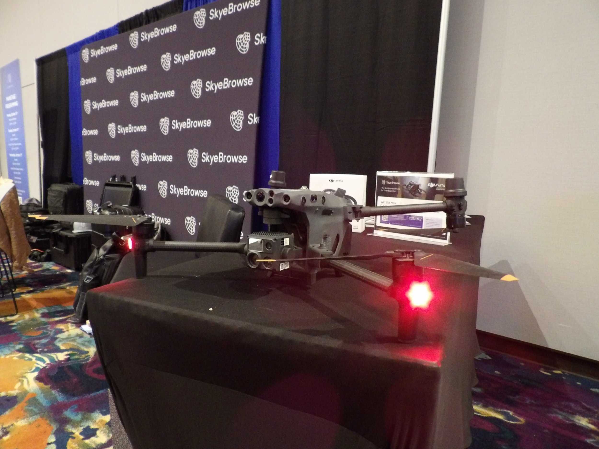
SkyeBrowse replaces that manual approach with videogrammetry that converts a single video walkthrough into a measurable 3D model of any structure or scene.
Contents
- Why Albemarle County Fire Rescue Chose Videogrammetry
- Pre-Incident Planning and Post-Fire Documentation
- Training, Hazmat Response, and Multi-Agency Coordination
- Compliance and Data Security for Virginia
- Operational Impact: Time and Cost Savings
- Get a SkyeBrowse Quote for Albemarle County Fire Rescue
Why Albemarle County Fire Rescue Chose Videogrammetry
Coverage area is the defining challenge. A structure fire in Crozet at the base of the Blue Ridge requires a different tactical approach than a vehicle extrication on I-64 near Zion Crossroads or a wildland fire along the Rivanna River corridor. Pre-planning every high-risk building across 726 square miles with traditional methods would take years and be outdated before completion.
SkyeBrowse's Universal Upload accepts any .MP4 or .MOV file from drones, smartphones, body-worn cameras, or 360 cameras. A crew member walks through a target occupancy with a smartphone, recording hallways, stairwells, standpipe connections, and structural features. The footage processes at a 1:1 ratio, producing a navigable 3D model that any responding crew can review on a tablet en route to the call.
The county's mix of historic structures near the UVA Grounds, modern commercial buildings along US-29 North, and rural properties with limited access roads means pre-plans must account for wildly different construction types. A 3D model captures those differences in spatial detail that floor plans cannot match.
Post-fire investigation benefits equally. Origin-and-cause investigators capture a burned structure with a drone orbit before overhaul disturbs the scene, preserving char patterns, collapse geometry, and debris fields in a forensic-grade digital twin.
Pre-Incident Planning and Post-Fire Documentation
Albemarle County's commercial corridors along US-29 and Route 250 include hotels, big-box retail, light industrial facilities, and Charlottesville-Albemarle Airport. Each target hazard needs a pre-plan capturing building layout, access points, fire protection systems, and exposure risks. Videogrammetry turns a 20-minute walkthrough into a 3D model crews can study before setting foot in the building during an emergency.
For routine pre-planning, SkyeBrowse Lite and Premium tiers (Premium delivers 8K resolution with 0.25 inch accuracy) give crews the spatial detail needed to study building layouts and plan tactical approaches. Post-fire investigation is where Premium Advanced earns its value. Arson cases demand 16K resolution with 0.1 inch accuracy to document burn patterns, pour points, and structural failure sequences. AI moving object removal strips out firefighters, hose lines, and apparatus from the final model, leaving a clean forensic record that investigators and prosecutors can present in Virginia Circuit Courts.
The Blue Ridge foothills create additional fire risks. Wildland-urban interface fires threaten homes built into wooded hillsides, and post-fire damage assessments across steep terrain are difficult with ground-based methods. A drone video orbit captures the full extent of damage, slope conditions, and access limitations in one pass.
Ready to Transform Your Department's Documentation Process? Learn how SkyeBrowse can help your agency achieve faster, more accurate scene documentation.
Training, Hazmat Response, and Multi-Agency Coordination
Albemarle County Fire Rescue operates in a region with significant hazmat exposure. The CSX rail line carries freight through the county, I-64 moves commercial truck traffic, and UVA's research facilities handle chemicals requiring specialized response. A 3D model of a hazmat scene allows incident commanders to brief mutual aid teams on spatial layout, hot zone boundaries, and decontamination corridor placement without walking them through the active scene.
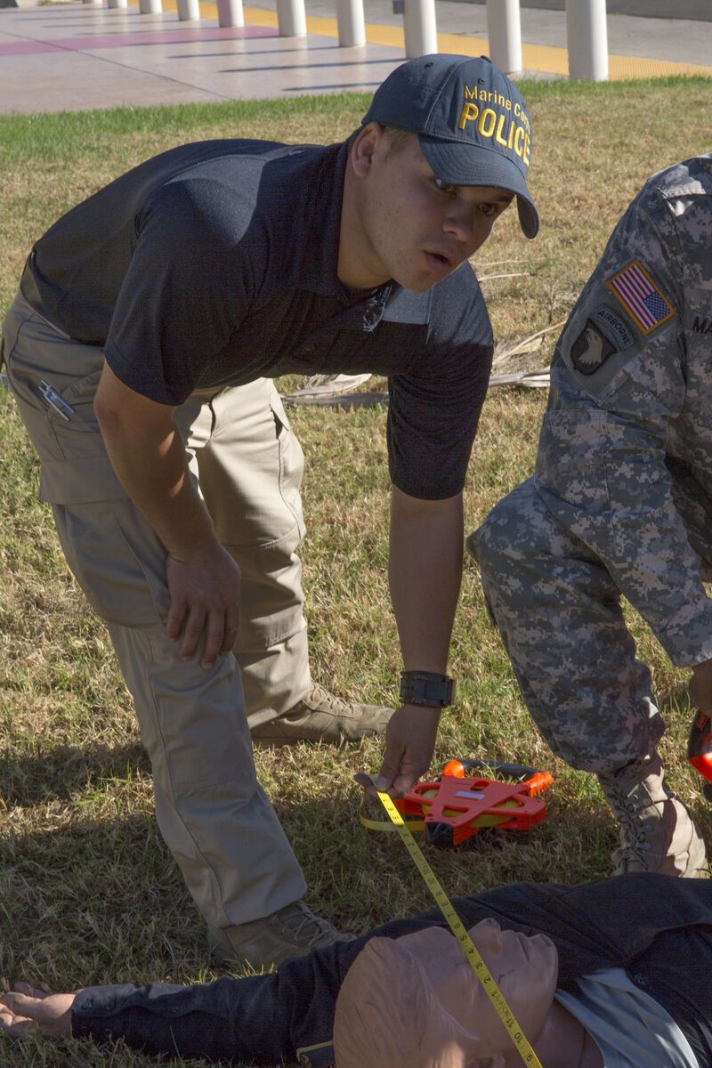
Training scenarios benefit equally. New recruits study 3D models of past incidents to understand fire behavior and tactical approaches in structures they have never entered. Volunteer firefighters, who may not train as frequently as career staff, review pre-plans and incident models on their own time.
Multi-agency coordination with Charlottesville Fire Department, UVA Emergency Management, and the Thomas Jefferson Emergency Communications Center is simplified when every partner accesses the same spatial model through SkyeBrowse's secure cloud sharing. One link replaces file transfers, USB drives, and CAD compatibility issues.
Compliance and Data Security for Virginia
Fire investigation evidence presented in Virginia Circuit Courts must meet chain-of-custody and accuracy requirements. Arson cases prosecuted through the Albemarle County Commonwealth's Attorney's office require documentation that defense experts cannot discredit.
SkyeBrowse hosts all data on AWS GovCloud (US) with FedRAMP Moderate alignment, protecting sensitive scene data from capture through courtroom presentation.
- AI moving object removal for clean scene models
- AWS GovCloud (US) hosting with FedRAMP Moderate alignment
- CJIS-ready workflows with audit trails and controlled sharing
- 5-year guaranteed data retention on Premium and Premium Advanced tiers
Export options cover every departmental need. LAZ point clouds integrate with fire investigation analysis tools. GLB models provide lightweight 3D views for training, command staff briefings, and courtroom presentations. GeoTIFF orthos layer into the county's GIS platform alongside parcel data, hydrant locations, and response zone boundaries.
Operational Impact: Time and Cost Savings
Albemarle County Fire Rescue covers a jurisdiction larger than many entire metro fire departments serve. Every hour spent on manual scene documentation or clipboard-based pre-planning is an hour pulled from training, inspections, and emergency response. Videogrammetry drops documentation cost from $360 to $25 per scene and returns personnel to service in a fraction of the time.
| Metric | Traditional Method | SkyeBrowse |
|---|---|---|
| Personnel | 4 Staff | 1 Operator |
| Time on Scene | 3 Hours | 10 Minutes |
| Operational Cost | $360 | $25 |
The efficiency gain compounds across hundreds of commercial occupancies, schools, and high-risk structures that can be modeled with individual crew visits rather than full-team survey days. Updated pre-plans mean better tactical decisions on the fireground and reduced risk to firefighters.
- How Huntington Beach Police Department Uses SkyeBrowse
- How Weatherford Police Department Uses SkyeBrowse
- How Seward Police Department Uses SkyeBrowse
Get a SkyeBrowse Quote for Albemarle County Fire Rescue
SkyeBrowse is built for departments that need to cover large territories with limited personnel. If Albemarle County Fire Rescue is ready to modernize pre-planning and fire investigation across 726 square miles, we can help you deploy quickly.
Get a SkyeBrowse Quote for Albemarle County Fire Rescue