Bentley LumenRT is a visualization engine that renders engineering design models as interactive, photorealistic environments for stakeholder presentations. SkyeBrowse is a cloud videogrammetry platform that captures real-world conditions from video and produces measured 3D models. One visualizes things that do not yet exist; the other documents things that do. In every dimension that matters for field teams, SkyeBrowse delivers where LumenRT cannot.
Contents
- Capture and Input
- Processing Speed
- Ecosystem Lock-in
- Operator Requirements
- Pricing and Total Cost
- Compliance and Security
- Output Formats and Sharing
- Head-to-Head Comparison
- The Bottom Line
- Related Comparisons
- Get a SkyeBrowse Recommendation
Capture and Input
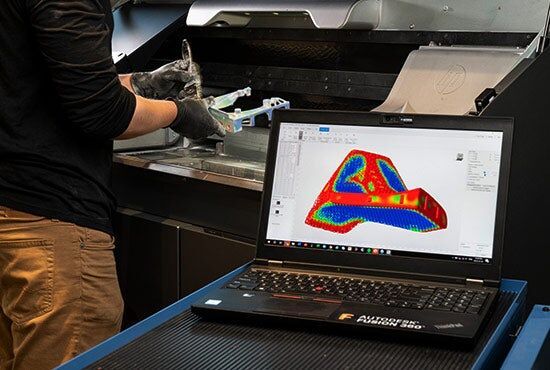
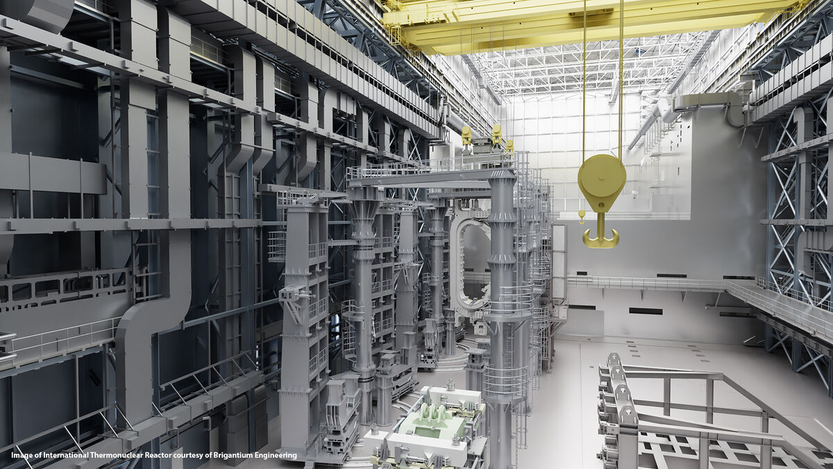
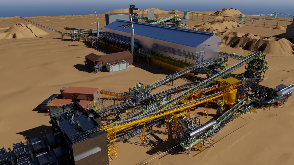
LumenRT does not capture anything. It has no camera input, no video processing, and no reality capture capability of any kind. It consumes design models created in MicroStation, OpenRoads Designer, or OpenBuildings Designer and renders them with lighting, vegetation, animated traffic, and weather simulation. If no CAD model exists, LumenRT has nothing to work with.
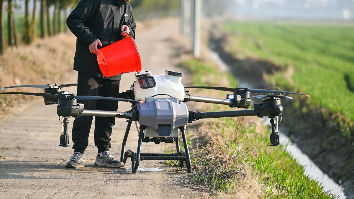
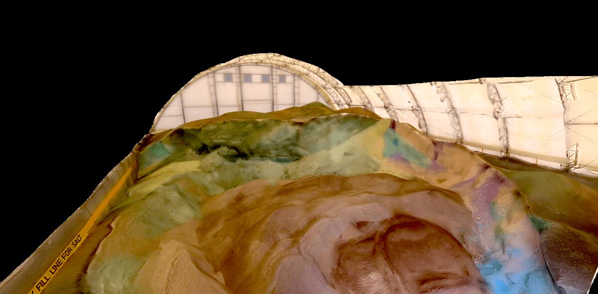
SkyeBrowse accepts video from any device recording .MP4 or .MOV: drones, smartphones, body-worn cameras, GoPros, and 360-degree cameras. One operator records a scene and uploads the footage. SkyeBrowse's patented videogrammetry converts that video into a measured 3D model with spatial accuracy. No CAD model required. No design software prerequisite. The real world is the input.
Processing Speed
LumenRT processing is a manual setup task. Operators import a design model, assign materials and textures, place environmental elements (trees, vehicles, pedestrians), configure camera paths for flythrough animations, and tune lighting for time-of-day accuracy. Depending on model complexity, setup takes hours to days. Rendering large infrastructure scenes demands high-end GPU hardware for real-time performance.
SkyeBrowse processes video at approximately a 1:1 ratio. Upload 10 minutes of footage, receive a finished 3D model in about 10 minutes. Processing runs entirely in the cloud with no GPU workstation requirement. A field team can capture a scene and have a shareable model before leaving the site. LumenRT's manual setup workflow cannot approach that turnaround.
Ecosystem Lock-in
LumenRT requires Bentley design software to generate its input models. Without MicroStation, OpenRoads, or OpenBuildings producing the source DGN files, LumenRT is inert. It does not import Autodesk, Trimble, or open-source formats without conversion. Your organization must be paying for the Bentley design stack before LumenRT adds any value. Bentley is also migrating LumenRT's functionality into the iTwin platform, creating further dependency on their evolving ecosystem.
SkyeBrowse is a standalone platform with zero ecosystem dependency. It accepts video from any camera manufacturer, processes it on its own cloud infrastructure, and exports open formats that work everywhere. No Bentley license, no Autodesk license, no CAD software of any kind. The platform works with what your team already owns.
Operator Requirements
LumenRT operators need proficiency in Bentley's design software stack. They must understand DGN file structure, material assignment workflows, camera path animation, and rendering configuration. The target user is a civil engineer, urban planner, or visualization specialist with training in Bentley products.
SkyeBrowse operators need the ability to record video and use a web browser. A patrol officer, construction superintendent, firefighter, or insurance adjuster captures a scene with whatever camera is available and uploads through the SkyeBrowse platform. No CAD training, no rendering expertise, no Bentley certification. The skill gap between the two products is the difference between a visualization specialist and any field employee.
Pricing and Total Cost
LumenRT pricing follows Bentley's Virtuosity consumption-based model, typically $2,000 to $5,000 per year. But LumenRT is useless without Bentley design tools producing its source models. MicroStation and OpenRoads subscriptions push the total ecosystem investment past $10,000 per seat annually. Add a workstation with a high-end GPU for real-time rendering, and the all-in cost per operator climbs further.
SkyeBrowse pricing is independent of any hardware or software ecosystem. Lite tier provides 2-6 inch accuracy. Premium delivers 8K resolution at 0.25 inch accuracy. Premium Advanced reaches 16K resolution with 0.1 inch accuracy and AI moving object removal. No GPU workstation, no Bentley licenses, no supplementary design software. Operational cost per scene drops from $360 with traditional documentation to roughly $25 with SkyeBrowse.
Compliance and Security
LumenRT runs on standard commercial infrastructure with no public safety compliance certifications. Bentley does not offer CJIS-compliant hosting, FedRAMP authorization, or GovCloud deployment. For agencies handling crash reconstruction data, crime scene evidence, or critical infrastructure documentation, LumenRT's visualization-only output would not qualify as evidence regardless, but the hosting gap compounds the limitation.
SkyeBrowse runs on AWS GovCloud (US) with FedRAMP Moderate alignment and CJIS-compliant workflows. Audit trails track every upload, processing event, and share action. 5-year guaranteed data retention on Premium and Premium Advanced tiers ensures evidence remains accessible for the full litigation lifecycle. Models processed through SkyeBrowse meet the chain-of-custody standards that prosecutors and courts require.
Output Formats and Sharing
LumenRT outputs rendered scenes, flythrough videos, and interactive visualizations. These are presentation materials, not measured deliverables. They carry no geospatial coordinates, no point cloud geometry, and no measurement capability. A LumenRT output cannot be loaded into GIS, used for forensic measurement, or submitted as spatial evidence. Sharing requires the recipient to have compatible Bentley viewing tools or to watch an exported video.
SkyeBrowse outputs LAZ point clouds with full coordinate data for forensic reconstruction and CAD tools. GLB meshes provide interactive 3D walkthroughs accessible in any web browser. GeoTIFF orthomosaics integrate with ArcGIS, QGIS, and Google Earth Pro. Every output is a measured, geospatially referenced deliverable. Sharing is a browser link: no software installation, no Bentley account, no file download required.
Head-to-Head Comparison
| Dimension | Bentley LumenRT | SkyeBrowse |
|---|---|---|
| Input | CAD/BIM models (MicroStation, OpenRoads) | Any .MP4/.MOV video |
| Capture Capability | None (visualization only) | Full reality capture from video |
| Processing Speed | Hours-to-days manual setup | ~1:1 with video duration |
| Measurement | None | 0.1 inch accuracy (Premium Advanced, 16K) |
| Ecosystem | Requires Bentley design stack ($10K+/yr) | Standalone, no dependencies |
| Operator Skill | Civil engineer / visualization specialist | Any field operator |
| Cost | $2,000-$5,000/yr + Bentley design stack | Subscription only, no hardware |
| Compliance | Standard commercial | CJIS, FedRAMP Moderate, AWS GovCloud |
| Output | Rendered scenes, flythrough videos | LAZ, GLB, GeoTIFF (measured) |
| Sharing | Bentley viewers or exported video | Browser link, no install |
| Data Retention | Bentley platform terms | 5-year guaranteed (Premium/Advanced) |
The Bottom Line
LumenRT is a presentation tool for a narrow audience: civil engineering firms that already pay for Bentley's design stack and need to show proposed infrastructure to non-technical stakeholders. It cannot capture reality, produce measurements, or generate any deliverable with spatial accuracy. Its ecosystem dependency, GPU hardware requirements, and manual setup workflow make it expensive and slow relative to what it actually delivers: a rendered animation.
SkyeBrowse captures, processes, measures, and shares real-world 3D documentation from a single video upload. Any camera, any operator, any browser. Processing completes in minutes. Outputs are measured, geospatially referenced, and court-admissible. Compliance meets CJIS and FedRAMP standards. Scene documentation drops from 3 hours with 4 staff to 10 minutes with 1 operator. For any team that needs to document what exists rather than visualize what is planned, SkyeBrowse is the only product in this comparison that actually does the job.
Get a SkyeBrowse Recommendation
If your need is documenting real-world conditions, not visualizing future designs, SkyeBrowse delivers measured 3D models from video in minutes. Public safety, construction, and inspection teams use it to replace hours of manual measurement with a single video upload.