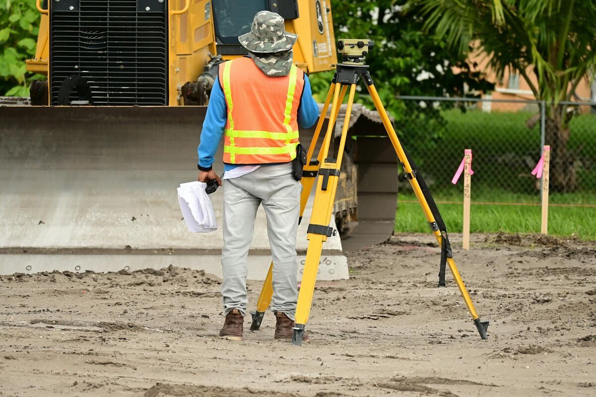
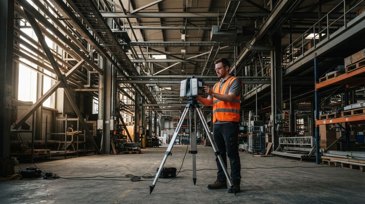
FARO vs Leica is the question every survey, AEC, and forensic team asks before committing to a terrestrial laser scanner purchase. A terrestrial laser scanner is a tripod-mounted device that fires millions of laser pulses per second to build a highly accurate 3D point cloud of a physical space. Both FARO's Focus line and Leica's scanner portfolio dominate this market, but they differ in accuracy claims, scan speed, and the software ecosystem you're locked into afterward. This comparison covers faro focus vs leica rtc360 and the broader terrestrial laser scanner comparison buyers actually need.
Key Takeaways
- FARO Focus Premium scanners list in the roughly $9,000 to $14,000 range per dealer listings, while Leica's compact BLK360 lists around $6,000 and its higher-end scanners run well into five figures, based on 2026 reseller pricing.
- In June 2026, Leica replaced its RTC360/LT line with a new RTC series (RTC300, RTC500, RTC700), so buyers researching "RTC360" should confirm current availability before purchasing.
- FARO's software ecosystem centers on SCENE, while Leica's centers on Cyclone; both charge separately for registration and modeling licenses on top of scanner hardware.
- Actual laser scanner pricing is quote-based in most cases, since resellers negotiate on volume, bundled software, and training.
- Drone videogrammetry reaches survey-grade accuracy by capturing closer to the subject, and it delivers a measurable 3D model in minutes without a $10,000-plus hardware purchase.
Contents
- What is the core difference between FARO and Leica scanners?
- How much do FARO and Leica scanners actually cost?
- How do FARO SCENE and Leica Cyclone compare as software ecosystems?
- Is there an alternative to a laser scanner for scene documentation?
- Which scanner is the better fit for your team?
- FAQ
What is the core difference between FARO and Leica scanners?
FARO's Focus line is built around a single scanning philosophy across its Premium and Core tiers, prioritizing fast, simple field operation for AEC and forensic teams. Leica splits its lineup between the compact, panoramic BLK360 for quick interior capture and its higher-accuracy RTC-series scanners (formerly RTC360) for demanding survey and infrastructure work. Both companies publish sub-millimeter-to-a-few-millimeter accuracy specs at typical working ranges, though exact figures vary by model and distance.
FARO Technologies has sold Focus-series scanners for over a decade, and the current Focus Premium models emphasize a 200-meter range, fast 1-minute scan cycles, and cloud connectivity for field-to-office workflows, according to FARO's own product materials. Leica Geosystems, a Hexagon company, took a different route: its BLK360 line targets fast interior panoramic capture at a lower price point, while its RTC line has historically targeted mobile, high-throughput scanning for construction and infrastructure projects. In June 2026, Leica consolidated that top end further, announcing the RTC300, RTC500, and RTC700 as direct replacements for the RTC360/LT and the older ScanStation P-Series, combining the RTC360's speed with the ScanStation's accuracy tiering according to Leica's official announcement.
How much do FARO and Leica scanners actually cost?
Dealer listings in 2026 put FARO Focus Premium models between roughly $9,000 and $14,000 depending on range tier, while Leica's compact BLK360 lists around $6,000 and its higher-accuracy RTC-series units run well beyond $15,000. Neither company publishes a fixed retail price for its higher-end scanners; both are typically sold through authorized resellers on a quote basis that varies with bundled software, training, and trade-in credit.
| FARO Focus Line | Leica Scanner Line | |
|---|---|---|
| Pricing (2026, dealer-listed) | Roughly $9,000-$14,000 (Focus Premium tiers) | Roughly $6,000 (BLK360) to $15,000+ (RTC series) |
| Platform / OS | Windows (SCENE software) | Windows (Cyclone software) |
| Input type | Laser range scanning, panoramic imagery | Laser range scanning, panoramic imagery |
| Processing model | On-device scan, desktop registration | On-device scan, desktop or cloud registration |
| Key outputs | Registered point cloud, panoramic scans | Registered point cloud, panoramic scans |
| Best-fit user | AEC, forensic, industrial teams needing fast field cycles | Survey, infrastructure, and BIM teams needing scalable accuracy tiers |
Because both companies sell almost exclusively through dealer networks, actual invoice prices commonly diverge from list prices based on volume discounts, service contracts, and financing terms. Buyers should treat any online price as a starting point for a quote conversation rather than a final number, and should always confirm current model availability given Leica's mid-2026 lineup change.

How do FARO SCENE and Leica Cyclone compare as software ecosystems?
FARO's SCENE software handles registration, cleanup, and basic modeling for Focus-series scans, with cloud collaboration tools layered on top. Leica's Cyclone ecosystem, including Cyclone FIELD 360 for on-site processing, plays a similar role but is more tightly integrated with Hexagon's broader reality-capture and BIM tooling, including the new Livelink feature that streams scan data to Hexagon GeoCloud as it's captured.
Neither software suite is included free with the scanner indefinitely. Both FARO and Leica license their processing software on subscription or term-based models that add real recurring cost on top of the hardware purchase, and both require a meaningful ramp-up period for a new user to register scans cleanly and export usable deliverables. Total cost of ownership calculations for either scanner should include software licensing, at least a few days of formal training, and a workstation capable of handling multi-gigabyte scan registration, according to both vendors' published system requirements. Organizations standardized on one ecosystem for BIM or GIS interoperability often let that choice drive the hardware decision rather than the reverse.
Is there an alternative to a laser scanner for scene documentation?
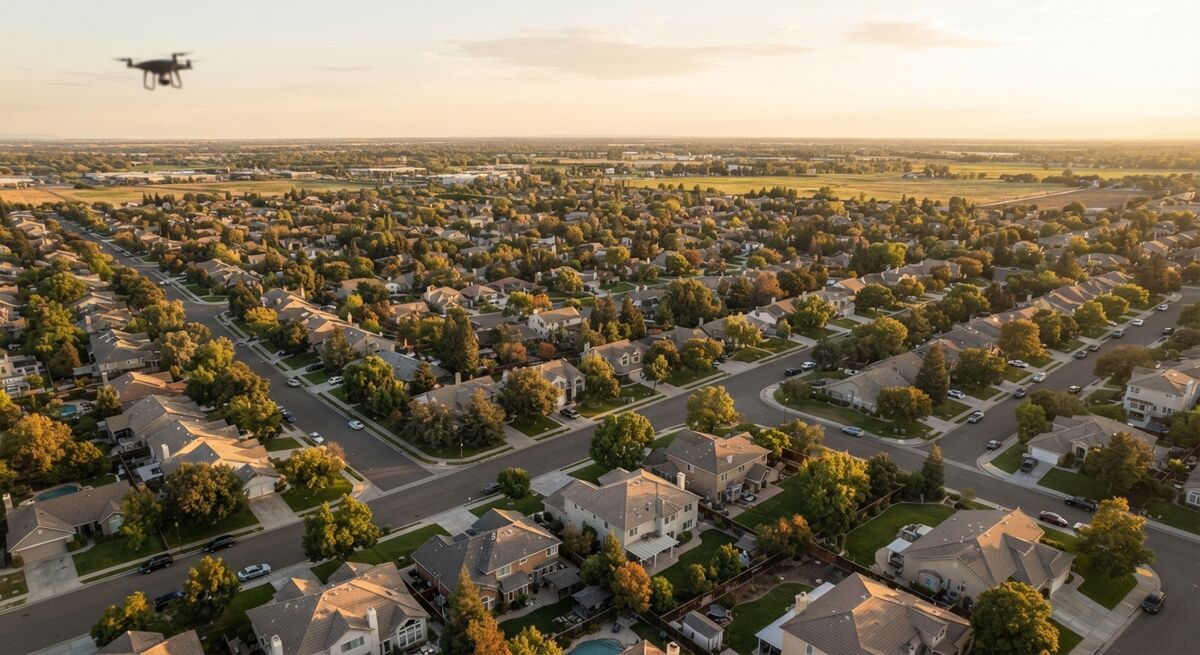
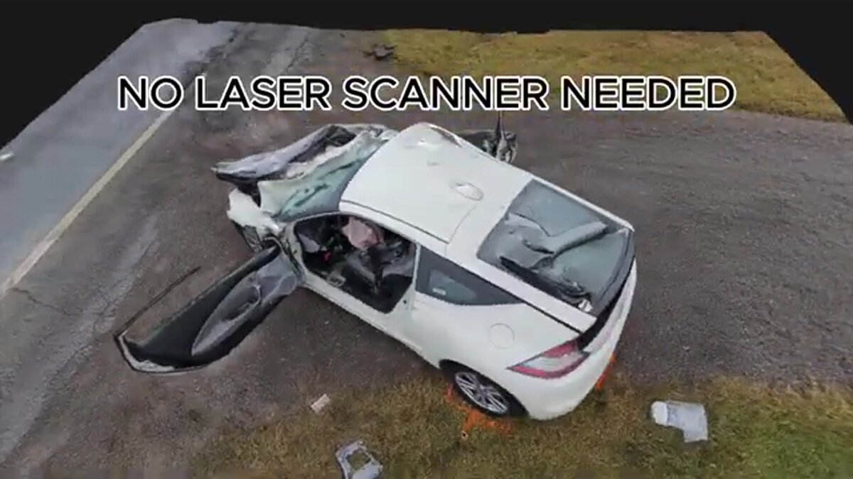
SkyeBrowse converts drone or phone video into a measurable 3D model in the cloud with no scanner hardware purchase. Accuracy scales with capture distance: a standard flight delivers about a quarter inch on Premium, and closer capture, flying tighter orbits or walking a phone camera next to the subject, reaches about a tenth of an inch on Premium Advanced. That puts survey-grade accuracy in reach for crash reconstruction, incident documentation, and as-built work in minutes.
The real comparison is workflow and cost rather than accuracy. Videogrammetry accuracy is a function of how close the camera gets to the subject, so a pilot flying tighter orbits or an investigator walking a phone camera along a vehicle captures survey-grade detail without a tripod in sight. A scanner still fits a team whose pipeline is already built around tripod setups and BIM-native deliverables, but a five-figure hardware purchase plus per-seat software is a steep price for accuracy that closer capture already delivers. Most public safety, insurance, and documentation work needs a fast, defensible, measurable record of a scene, which SkyeBrowse delivers by processing drone or handheld video uploaded through Universal Upload or the SkyeBrowse Flight App at app.skyebrowse.com, with no on-site hardware setup beyond the drone itself. Public safety agencies using SkyeBrowse also get CJIS compliance support on Premium, hosted on AWS infrastructure in the United States, which matters for departments that need to justify a cloud workflow to their IT and legal teams. For head-to-head looks at specific hardware, see our comparisons of SkyeBrowse vs FARO scanners and SkyeBrowse vs Leica BLK360, plus our broader explainer on LiDAR vs photogrammetry.
Which scanner is the better fit for your team?
Pick FARO if your team values a single, streamlined scanning workflow across similar project types and wants the SCENE ecosystem's field-to-office simplicity. Pick Leica if you need a tiered accuracy lineup from compact interior capture (BLK360) up through the new RTC series for infrastructure-scale work, or if your organization already runs on Cyclone and Hexagon's broader reality-capture stack.
Neither manufacturer is the "wrong" choice on hardware quality alone; both are established, widely deployed in AEC and survey markets, and back their scanners with global service networks. The deciding factor is usually organizational, not technical: what software ecosystem does your BIM or GIS team already use, what accuracy does the project actually require, and can your budget absorb a five-figure hardware purchase plus ongoing software licensing. Teams evaluating whether they need a scanner at all versus a faster, lower-cost documentation method should also compare against total station vs drone mapping workflows before finalizing a budget.
FAQ
How much does a terrestrial laser scanner actually cost with software included?
Expect the hardware alone to run from roughly $6,000 for a compact imaging scanner like the Leica BLK360 up to $30,000 or more for a high-end FARO Focus Premium or Leica RTC-series unit, based on 2026 dealer listings. Add registration and modeling software licensing, typically $1,000 to $4,000 or more per year depending on the tier, plus training time, and the real first-year cost is usually well above the sticker price of the scanner itself.
Did Leica replace the RTC360?
In June 2026, Leica Geosystems announced the new RTC series (RTC300, RTC500, and RTC700), which replaces the RTC360/LT line and the ScanStation P-Series. The new lineup keeps the RTC360's fast, mobile scanning approach while adding the accuracy tiering of the older ScanStation range. See Leica's official RTC series announcement for details.
Is a laser scanner overkill for accident reconstruction or insurance documentation?
Yes, for most documentation and reconstruction work. Videogrammetry accuracy scales with capture distance: a standard flight delivers roughly a quarter inch on SkyeBrowse Premium, and flying closer or walking a phone camera along the subject reaches survey-grade detail of about a tenth of an inch on Premium Advanced, at a fraction of scanner cost.