DroneDeploy is one of the most recognized names in commercial drone mapping. Its platform covers automated flight planning through cloud-based photogrammetry — the computational process that stitches overlapping aerial photos into georeferenced 2D and 3D outputs, a form of reality capture — across construction, mining, agriculture, and infrastructure inspection. For large enterprise teams running DJI fleets, it can be a serious tool. For everyone else, the picture is more complicated. This review covers what the platform delivers, where it falls short, and who it genuinely serves.
Key Takeaways
- DroneDeploy is a capable enterprise platform for DJI-based construction and agriculture mapping, with strong Procore and Autodesk integrations.
- Processing takes 2-24 hours in the cloud with no guaranteed SLA — a real bottleneck for time-sensitive work.
- Only DJI drones are supported. No Skydio, Autel, or Parrot — and no video, smartphone, or body camera input of any kind.
- Per-seat pricing at $329-$499/month/seat compounds quickly. A five-person team pays approximately $30K/year at list price.
- No CJIS compliance, no FedRAMP authorization — disqualifying for law enforcement and public safety agencies.
DroneDeploy at a Glance
| Category | Details |
|---|---|
| What It Is | Cloud-based drone mapping and photogrammetry platform |
| Best For | Enterprise construction teams running DJI fleets with Procore/Autodesk integration |
| Supported Hardware | DJI drones only (via proprietary DroneDeploy app). No Skydio, Autel, Parrot, or video input. |
| Processing | Cloud-based, 2-24 hours depending on dataset and queue load |
| Pricing | Individual: $329/seat/month. Business: $499/seat/month. Enterprise: custom quote. |
| Compliance | SOC 2 Type II. No CJIS, no FedRAMP, no government cloud. |
| Key Limitation | DJI-only lock-in, multi-hour processing, per-seat pricing, no public safety compliance |
Contents
- What is DroneDeploy?
- How fast does DroneDeploy process data?
- What drones work with DroneDeploy?
- How much does DroneDeploy actually cost?
- How accurate is DroneDeploy?
- Can public safety teams use DroneDeploy?
- Who should use DroneDeploy?
- Alternatives Worth Considering
What is DroneDeploy?
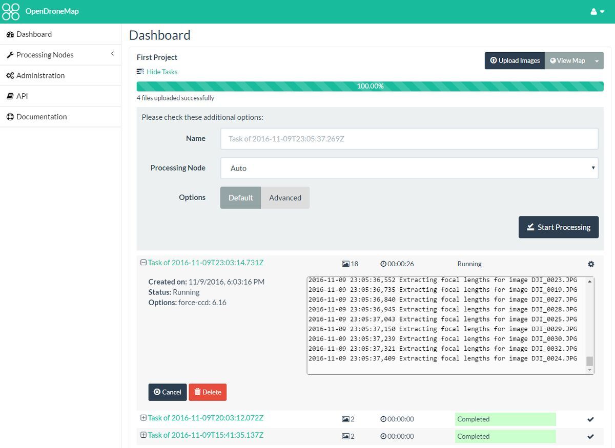
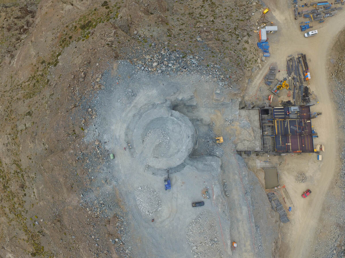
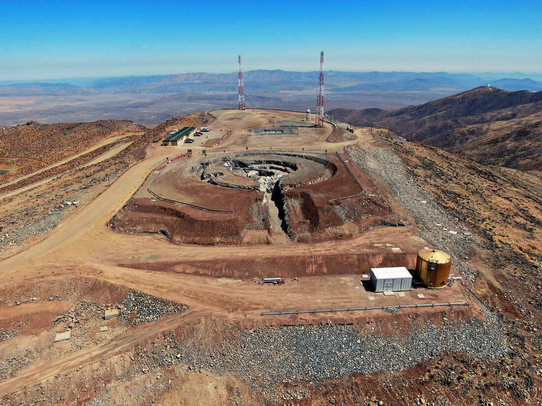
DroneDeploy is a cloud-based drone mapping software platform, one of several tools covered in our drone 3D mapping overview, that automates the full workflow from flight planning through data processing and analytics. It is primarily built for construction progress monitoring, site volumetrics, agricultural scouting, and asset inspection. Users plan grid or orbit flights in the DroneDeploy mobile app, the drone captures overlapping photos, and those photos are uploaded to DroneDeploy's cloud for processing into orthomosaics (geometrically corrected aerial maps), 3D meshes, point clouds, and digital surface models — deliverables covered in detail in our orthomosaic vs 3D model comparison.
Its automated flight planning is well-executed, construction analytics are among the best in the category, and integrations with Procore, Autodesk, and Bluebeam make it a natural fit for teams already running those toolchains. DroneDeploy is SOC 2 Type II certified, which clears the bar for most commercial security reviews. Where it struggles is hardware flexibility, processing speed, pricing structure, and regulated-industry compliance — all of which matter significantly depending on your use case.
How fast does DroneDeploy process data?
DroneDeploy processes photogrammetry jobs in the cloud, with typical turnaround times of 2 to 6 hours for standard datasets and up to 24 hours for large jobs during peak queue periods. Processing speed is not user-controlled — it depends on cloud queue load, dataset size, and flight overlap settings.
For construction teams reviewing progress at day's end, overnight processing is often acceptable. For inspection or incident-response workflows where results are needed quickly, waiting hours is a genuine bottleneck. DroneDeploy does not publish a processing speed SLA for standard tiers — no contractual turnaround is guaranteed outside enterprise agreements. Teams accustomed to near-real-time feedback should factor this latency in before committing to the platform.
What drones work with DroneDeploy?
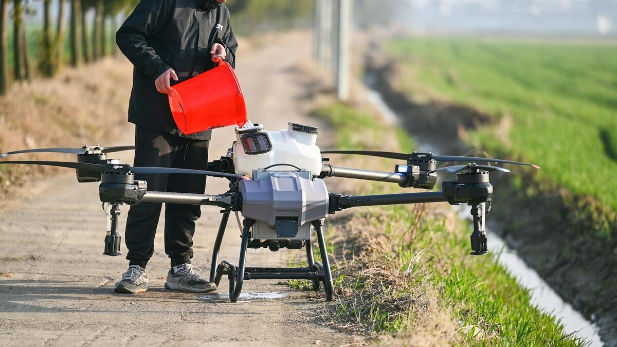
DroneDeploy supports a specific set of DJI drone models and requires its proprietary mobile app to execute automated flight plans. Pilots fly every mission through the DroneDeploy app rather than DJI's own flight software. Skydio, Autel, Parrot, and most other manufacturers are not supported for automated capture, which means teams that have standardized on non-DJI hardware cannot use the platform's core flight-planning functionality.
This is a meaningful constraint. Many law enforcement agencies, critical infrastructure operators, and U.S. federal contractors have moved away from DJI hardware due to security concerns and FAA restrictions on certain DJI models under the American Security Drone Act. Skydio has grown specifically to serve this segment and is entirely outside DroneDeploy's supported ecosystem. Beyond hardware exclusion, the requirement to fly through DroneDeploy's proprietary app adds a dependency layer: if the app has a connectivity issue or lags behind a DJI firmware update, flights are blocked.
The platform also accepts no video input of any kind. Footage from body-worn cameras, smartphones, action cameras, and 360-degree cameras cannot be processed. This limits DroneDeploy strictly to planned, autonomous drone flights — there is no path to map a scene using opportunistic video capture or a non-supported device.
How much does DroneDeploy actually cost?
DroneDeploy's published pricing runs from $329 per seat per month (Individual plan) to $499 per seat per month (Business plan), billed annually. Enterprise pricing requires a custom contract and direct negotiation with a sales team. No pricing is published for Enterprise.
The per-seat structure is the most important pricing detail to understand before evaluating the platform. A five-person Business team pays approximately $29,940 per year at list price — before enterprise features, expanded storage, or add-ons. Scale to ten users and annual spend exceeds $59,000. Costs scale linearly with headcount, with no published volume discount. The Individual plan is scoped to a single seat and omits team collaboration features. The lack of a transparent enterprise pricing page means larger deployments require entering a sales negotiation before any budget can be confirmed, which adds friction for procurement teams working to defined spending cycles.
How accurate is DroneDeploy?
DroneDeploy's accuracy depends on flight altitude, image overlap percentage, ground control point (GCP) placement, and camera calibration — and the platform does not publish standardized accuracy tiers. Typical photogrammetry outputs from low-altitude, high-overlap flights with well-placed GCPs can achieve centimeter-level horizontal accuracy, but this requires deliberate setup and cannot be assumed from default flight parameters.
The absence of published accuracy specifications means teams cannot compare DroneDeploy's performance to platforms that define accuracy by tier. For commercial construction and volumetrics, where relative measurement consistency is the primary concern, this is typically acceptable. For survey-grade applications or workflows where accuracy must be documented and defensible — legal proceedings, regulatory compliance — the unpublished spec is a real gap. Teams with precision requirements should plan for GCP-supported flights and independent output verification.
Can public safety teams use DroneDeploy?
DroneDeploy is SOC 2 Type II certified, which addresses commercial data security requirements. It is not CJIS compliant, not FedRAMP authorized, and does not offer government cloud hosting. For law enforcement agencies, fire departments, and other public safety organizations subject to Criminal Justice Information Services (CJIS) Security Policy requirements, this is a disqualifying gap.
CJIS compliance — governed by the FBI's CJIS Security Policy — mandates specific controls around data encryption, access management, audit logging, and infrastructure hosting for any platform that touches criminal justice information. DroneDeploy's cloud infrastructure does not meet those requirements. Agencies using it for crime scene documentation or crash reconstruction do so outside compliance boundaries. FedRAMP authorization is similarly absent. For the public safety segment, DroneDeploy is not a viable option.
DroneDeploy Pros and Cons
| Pros | Cons |
|---|---|
| Automated flight planning is polished and reliable | DJI drones only — no Skydio, Autel, or Parrot support |
| Strong construction analytics with Procore/Autodesk/Bluebeam integrations | 2-24 hour cloud processing with no published SLA |
| SOC 2 Type II certified for commercial security | Per-seat pricing ($329-$499/month) scales linearly with headcount |
| Well-executed mobile app for autonomous flight missions | No video, smartphone, or body camera input — photos only |
| Covers full workflow from flight planning to analytics | No CJIS compliance or FedRAMP — not viable for public safety |
| Strong enterprise adoption across construction and mining | Proprietary app dependency creates risk with DJI firmware updates |
What do users say about DroneDeploy?
DroneDeploy carries strong ratings on G2 (4.4/5 stars) and broad adoption across the construction sector. Enterprise users consistently praise the automated flight planning, construction progress tracking, and integration ecosystem as genuine strengths.
The most common complaints center on processing speed and cost. Users on community forums and review platforms frequently note that cloud processing during peak periods can push turnaround past the published estimates, with some large datasets queuing for a full business day. The per-seat pricing model draws criticism from smaller teams, where adding even one or two users significantly increases annual spend.
Hardware lock-in to DJI is another recurring theme. Teams that have transitioned to Skydio or Autel for security or operational reasons report that DroneDeploy's DJI-only requirement effectively forces a platform switch.
Who Should Use DroneDeploy?
DroneDeploy is best suited for large construction and engineering firms running DJI drone programs with Procore or Autodesk integration, enterprise agriculture operations running scheduled autonomous flights, and mining operations focused on volumetric outputs where DJI hardware is already in place.
It is not well suited for teams that need non-DJI drone support, sub-hour processing, CJIS or FedRAMP compliance, video input from smartphones or body cameras, or predictable per-model pricing.
Alternatives Worth Considering
Teams that find DroneDeploy's hardware exclusivity, processing latency, compliance posture, or pricing structure limiting have several alternatives worth evaluating depending on their core requirements.
For organizations that need faster turnaround, broader device support, or public safety compliance, SkyeBrowse operates on a different model. It uses patented videogrammetry — the processing of continuous video footage into 3D models — and accepts input from drones, smartphones, body-worn cameras, action cameras, and 360-degree cameras through its Universal Upload feature. With RTK alone, SkyeBrowse delivers survey-grade 0.25 cm accuracy — no GCPs required. Models complete in minutes rather than hours. The platform is hosted on AWS GovCloud with FedRAMP Moderate authorization and CJIS-focused workflows, making it viable for law enforcement and fire departments. Trusted by 1,200+ public safety agencies — including San Bernardino County Fire, Utah State Fire Marshal's Office, and the California Department of Justice — SkyeBrowse has broad adoption across agencies where compliance and speed are non-negotiable. Pricing is per-model rather than per-seat, which suits teams with variable workloads or limited headcount.
For survey-grade photogrammetry with desktop processing control, Pix4D and Agisoft Metashape offer more granular accuracy documentation but require greater hardware investment and technical expertise.
Frequently Asked Questions
Is DroneDeploy worth the price?
For enterprise construction teams already running DJI hardware with Procore or Autodesk workflows, DroneDeploy delivers genuine value through its integrated platform. For smaller teams or agencies with non-DJI hardware, the per-seat pricing and hardware restrictions make it difficult to justify against alternatives with more flexible pricing and device support.
Does DroneDeploy work with Skydio drones?
No. DroneDeploy supports DJI drones exclusively for automated flight planning and capture. Skydio, Autel, Parrot, and all other manufacturers are not supported. Teams using non-DJI hardware cannot use DroneDeploy's core flight-planning functionality.
How long does DroneDeploy take to process?
Processing typically takes 2-6 hours for standard datasets, with large jobs during peak queue periods taking up to 24 hours. DroneDeploy does not publish a processing speed SLA for standard tiers.
Can law enforcement use DroneDeploy?
DroneDeploy is SOC 2 Type II certified for commercial data security but is not CJIS compliant, not FedRAMP authorized, and does not offer government cloud hosting. Law enforcement agencies subject to CJIS Security Policy requirements cannot use DroneDeploy within compliance boundaries.
Does DroneDeploy accept video input?
No. DroneDeploy processes only geotagged still photographs captured during planned drone flights. It does not accept video from drones, smartphones, body-worn cameras, action cameras, or 360-degree cameras.
DroneDeploy is a capable platform for the specific use case it was built for: automated DJI-based mapping at enterprise scale in construction and commercial settings. The limitations — DJI exclusivity, multi-hour processing queues, per-seat pricing, and no path to public safety compliance — are structural, not incidental. Teams that fall outside its target profile will encounter those constraints early and often. Evaluate those constraints against your operational requirements before committing to a contract.