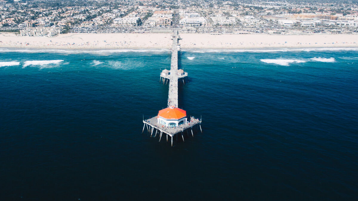
"Surf City USA" draws millions of visitors each year to its 10 miles of beachfront, but behind the tourism brand sits a working city of roughly 202,000 residents in Orange County, California. Pacific Coast Highway carries a relentless mix of beach traffic, commercial vehicles, and local commuters through the city. Golden West Street and Beach Boulevard serve as north-south arterials where high-speed collisions compete for investigative resources with large-scale beachfront events that demand police presence year-round.
Huntington Beach PD integrated SkyeBrowse into its workflow to ensure scene documentation never forces a choice between investigation quality and patrol coverage.
Contents
- Why Huntington Beach Police Department Chose Videogrammetry
- Accident and Crime Scene Documentation
- CJIS-Compliant 3D Evidence for California Courts
- Operational Impact: Time and Cost Savings
- Get a SkyeBrowse Quote for Huntington Beach Police Department
Why Huntington Beach Police Department Chose Videogrammetry
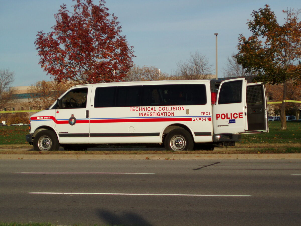
Huntington Beach manages a dual identity. During major events like the US Open of Surfing, crowd control and traffic management consume most available patrol hours. When a serious collision occurs on Pacific Coast Highway or Golden West Street during one of these events, pulling four officers for a multi-hour reconstruction creates a cascading staffing gap.
The department needed a documentation tool that reduced both the personnel requirement and the time commitment. SkyeBrowse's videogrammetry replaces dense photo grids and tape measurements with a continuous video capture that a single officer completes in minutes.
Processing runs at a 1:1 ratio. One minute of video produces one minute of processing. The 3D model is available for review while the scene is still controlled.
Universal Upload accepts any .MP4 or .MOV from drones, phones, body-worn cameras, and 360 cameras. Officers use existing drone assets and smartphones, so deployment required no new hardware procurement.
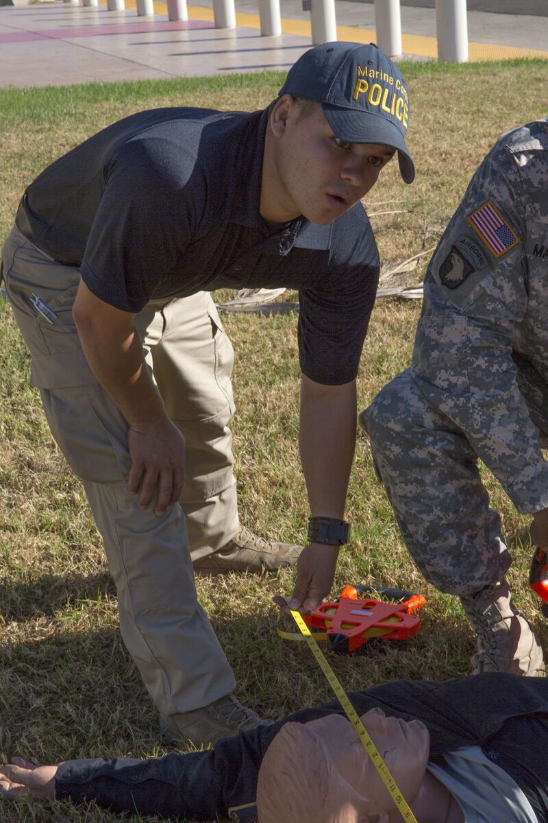
Accident and Crime Scene Documentation
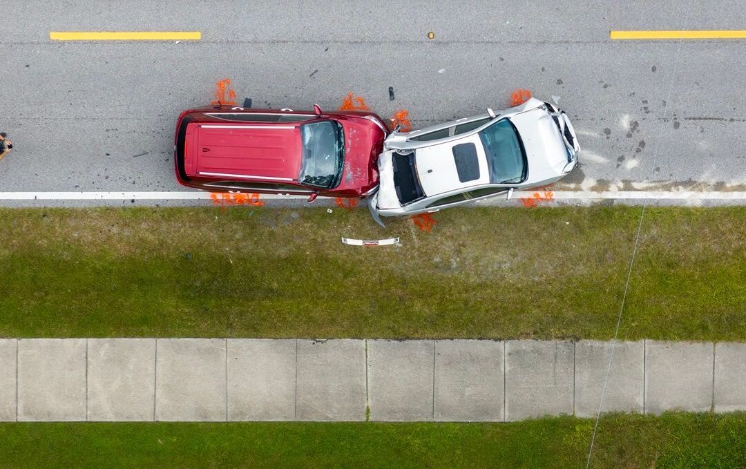
Pacific Coast Highway through Huntington Beach sees pedestrian, cyclist, and vehicle conflicts at nearly every major intersection. The Bolsa Chica wetlands stretch along PCH's northern section, creating a corridor with limited pull-off space where disabled vehicles and collisions block lanes with no alternate routing.
The Huntington Beach Pier area generates dense pedestrian traffic that complicates scene access. Officers capturing a collision near Main Street and PCH need to work quickly before crowds compromise evidence.
SkyeBrowse lets a single operator capture these complex scenes in about 10 minutes. A drone orbit preserves the full intersection context, vehicle positions, pedestrian infrastructure, and sight distances. Analysts measure and verify later without returning to the roadway.
Crime scene work follows the same process. Residential burglary clusters, parking structure incidents, and beach-adjacent assaults all benefit from the spatial completeness of a 3D model. Detectives review models remotely, and the cloud-based platform supports simultaneous access for Huntington Beach investigators, Orange County DA staff, and expert witnesses.
CJIS-Compliant 3D Evidence for California Courts
Orange County Superior Court handles cases from Huntington Beach where collision severity and crime scene evidence must meet high evidentiary standards. Defense experts in this jurisdiction routinely challenge measurement methodology. SkyeBrowse Premium Advanced delivers 16K resolution with 0.1 inch accuracy, producing forensic-grade models built to withstand that scrutiny.
- AI moving object removal for clean scene models
- AWS GovCloud (US) hosting with FedRAMP Moderate alignment
- CJIS-ready workflows with audit trails and controlled sharing
- 5-year guaranteed data retention on Premium and Premium Advanced tiers
Export formats serve every downstream requirement. LAZ point clouds feed forensic CAD tools for speed and trajectory analysis. GLB models give prosecutors interactive 3D exhibits that communicate scene geometry to juries. GeoTIFF orthos integrate with Orange County's GIS platform for spatial context and regional coordination.
Operational Impact: Time and Cost Savings
Huntington Beach's event calendar means patrol staffing fluctuates with tourism cycles. During peak weekends, losing four officers to a reconstruction can degrade public safety response across the entire city. SkyeBrowse drops effective cost per scene from $360 to $25 and keeps three officers available for crowd management, patrol, and emergency response.
| Metric | Traditional Method | SkyeBrowse |
|---|---|---|
| Personnel | 4 Officers | 1 Officer |
| Time on Scene | 3 Hours | 10 Minutes |
| Operational Cost | $360 | $25 |
Faster clearance on PCH and Golden West Street reduces secondary crash risk and limits the traffic cascades that block beach access and frustrate residents. Overtime savings compound across dozens of annual incidents, freeing budget for training, technology, and community programs.
Consistent capture simplifies quality assurance. Every model follows the same workflow, making case files comparable and training accessible to officers at any experience level.
- How Weatherford Police Department Uses SkyeBrowse
- How Seward Police Department Uses SkyeBrowse
- How Albemarle County Fire Rescue Uses SkyeBrowse
Get a SkyeBrowse Quote for Huntington Beach Police Department
SkyeBrowse is built for departments balancing high traffic volume with event-driven staffing demands. If Huntington Beach PD wants faster scene clearance and court-ready 3D evidence without straining patrol coverage, we can help you deploy quickly.
Get a SkyeBrowse Quote for Huntington Beach Police Department