NEW: 3D AI, Merge Models, and More
![]()
Real-Time DFR with Paladin, AI Support Agent Luis & More!
Hi SkyeBrowsers,
Things are moving incredibly fast here at SkyeBrowse as we continue pushing the boundaries of what's possible with rapid 3D modeling. Our mission to "Standardize the Specialist" and make powerful tools accessible is taking huge leaps forward. I've got some major updates I'm excited to share with you today!
Partnership with Paladin: Real-Time 3D Modeling for DFR
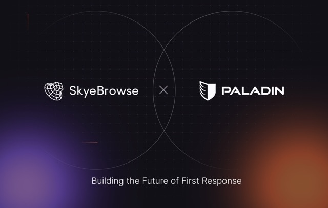
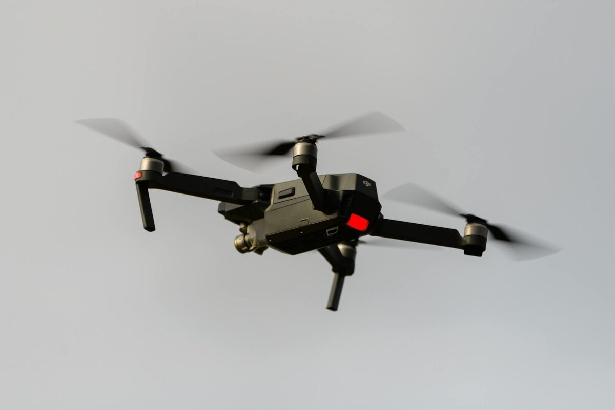
This is huge. SkyeBrowse and Paladin are proud to announce a strategic partnership delivering the first-ever real-time 3D modeling capability integrated directly into Drone as First Responder (DFR) workflows.
What does this mean? This groundbreaking integration eliminates critical data transfer delays. Aerial video from DFR missions is instantly converted into accurate 3D models using SkyeBrowse’s rapid modeling platform. Responding units now receive actionable, high-fidelity 3D models before arriving on scene, transforming rapid scene modeling into instantaneous intelligence delivery.
We believe this represents a paradigm shift in situational awareness, empowering agencies with unprecedented insights for faster decision-making, enhanced responder safety, and optimized resource deployment. A new standard for DFR has arrived.
Meet Agent Luis: Your Support Expert
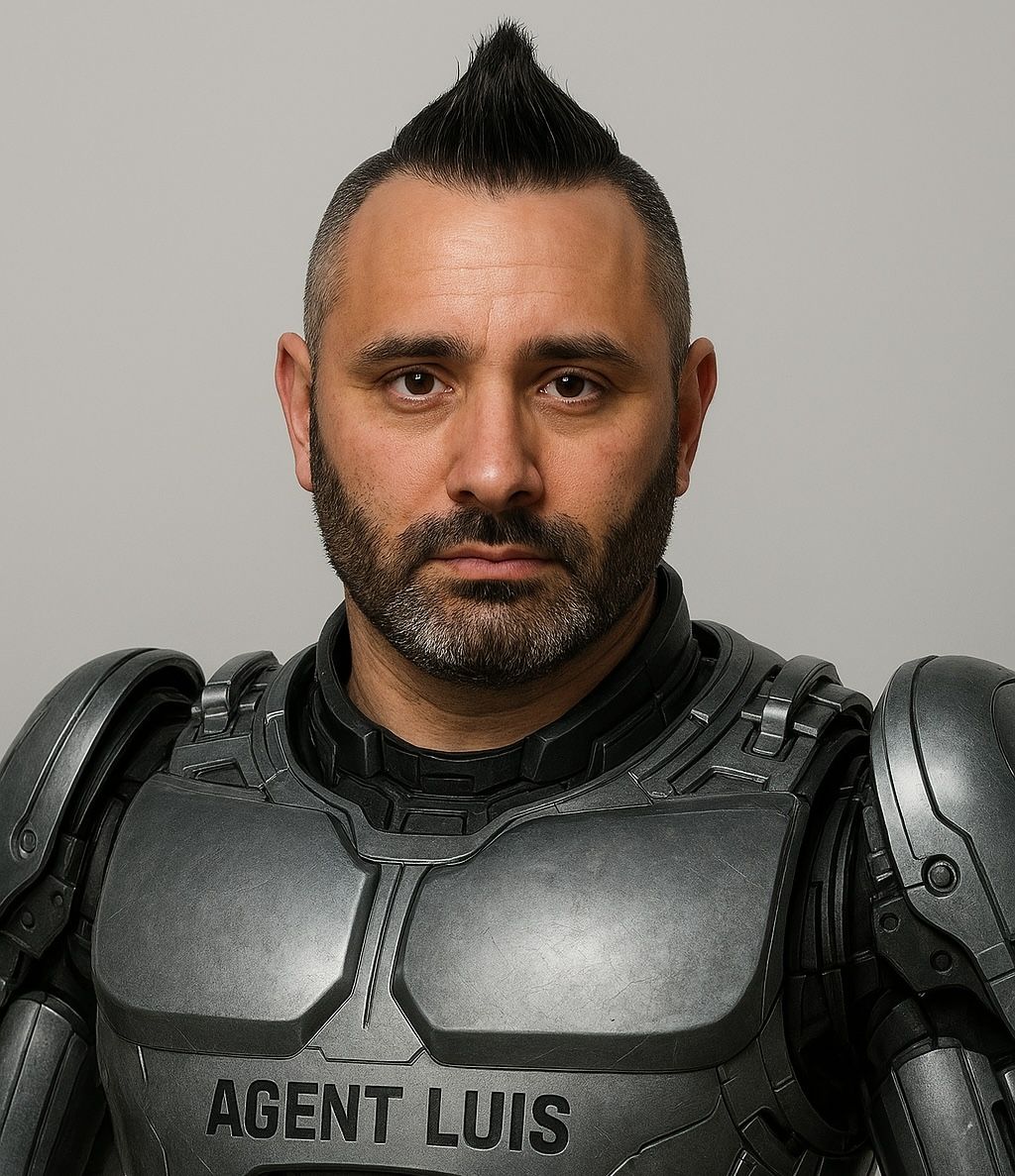
Agent Luis isn't just sophisticated AI – it's AI informed by the extensive, real-world experience of Detective Luis Figueiredo, a 10-year veteran, Chief UAS Pilot, and DFR pioneer with Elizabeth PD (NJ).
Trained on the latest SkyeBrowse knowledge, documentation, tutorials, and best practices – and enhanced with Detective Figueiredo's practical insights – Agent Luis delivers fast, accurate answers to your SkyeBrowse-specific questions. This is another big step in our mission to "Standardize the Specialist," making expert-level insights readily accessible 24/7/365.
Less time seeking answers, more time focusing on your critical mission. Give Agent Luis a call: +1 (609) 318-5925
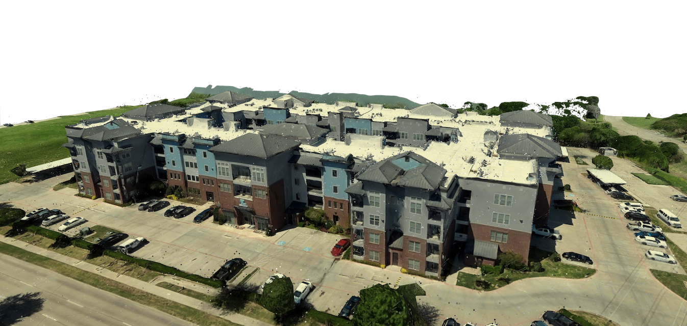
Rapid Response: Jeffersontown Tornado Mapping
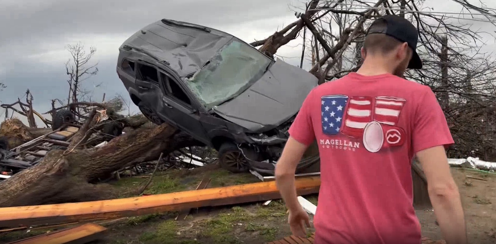
When disaster strikes, speed matters. SkyeBrowse was recently put to the test following the Jeffersontown tornado in Louisville, KY. First responder Justin Hilliard mapped a critical 1.2-mile section of the damage path with a single drone flight lasting only 14 minutes.
This swift data capture provided immediate, high-resolution 3D models, delivering crucial situational awareness instrumental in supporting Incident Command System (ICS) operations across Louisville EMA and assisting collaborating agencies. It's a powerful example of translating complex devastation into actionable intelligence, fast.
Drones After Dark Feature

On a lighter note, I wanted to share that the SkyeBrowse perspective (and plenty of industry drama) was recently featured on the Drones After Dark podcast! We welcomed Rahul Sidhu, VP of Aviation at Flock Safety to discuss DFR, life at Flock, and much more. It's always interesting to hear different viewpoints in this rapidly evolving space.
New Live Episode this week!
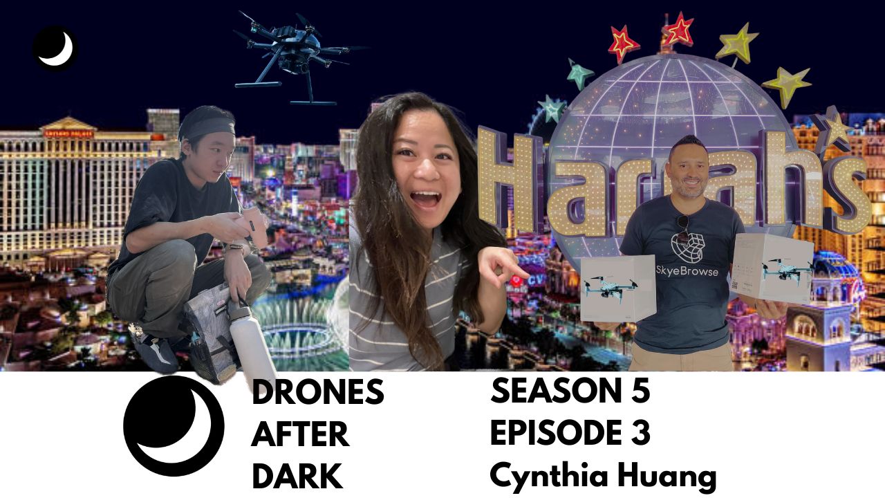
This week, we have Cynthia Huang, CEO of ACSL joining us. She's a former exec from Auterior and DJI. We'll be live, diving deeper into the decision-making process of leading a drone company. Tune in live Thursday, May 1 at 8PM ET for in-depth executive discussions. Make sure to subscribe and hit the bell icon to get notified when we're live.
Thanks for reading my newsletter! Let me know what you think. I read all the responses!

Bobby Ouyang Co-Founder & CEO
Get SkyeBrowsing Today
Unlock Sketch Drawings, Tools, 3D AI, High Resolution 3D Modeling and more.

Want to catch up on the latest? Read our News.
Facebook | Instagram | LinkedIn | YouTube
Privacy Policy | Contact | FAQ | Log in | News
![]()