Topcon Magnet Collage is desktop point cloud registration software that fuses data from laser scanners, total stations, drones, and mobile mapping vehicles into unified datasets. SkyeBrowse is a cloud videogrammetry platform that turns any video into a measured 3D model. Collage requires multiple expensive instruments and a skilled survey technician; SkyeBrowse requires one camera and one operator. In every comparison dimension, SkyeBrowse delivers faster, cheaper, and with fewer barriers.
Contents
- Capture and Input
- Processing Speed
- Ecosystem Lock-in
- Operator Requirements
- Pricing and Total Cost
- Compliance and Security
- Output Formats and Sharing
- Head-to-Head Comparison
- The Bottom Line
- Related Comparisons
- Get a SkyeBrowse Recommendation
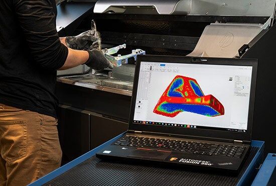
Capture and Input
Collage processes data from external Topcon instruments: GLS series laser scanners ($30,000-$80,000 each), Falcon drones, IP-S3 mobile mapping vehicles, and total stations. A typical Collage project combines data from two or three of these instruments, each requiring separate field deployment, setup, and calibration. Capturing a single construction site might mean scanning from multiple stations, flying a drone overhead, and driving a mobile mapper down the access road before any processing begins.
SkyeBrowse accepts video from any device recording .MP4 or .MOV. One operator with a DJI drone, an iPhone, a body-worn camera, or a GoPro captures the scene in a single pass. No laser scanner setup, no mobile mapping vehicle, no multi-instrument calibration. The entire capture happens in minutes with hardware your team already owns.
Processing Speed
Collage processing centers on point cloud registration: aligning datasets from different instruments, positions, and capture times into a single coordinate system. Target-based registration, cloud-to-cloud alignment, and manual tie-point placement all require operator oversight. A five-station laser scan project takes 30 minutes or more. Combining scanner data with drone photogrammetry and a mobile mapping pass can require several hours of processing and manual quality assurance, all on a desktop workstation.
SkyeBrowse processes video at approximately a 1:1 ratio through cloud-based videogrammetry. A 15-minute drone orbit returns a finished 3D model in roughly 15 minutes. No multi-station alignment step, no manual tie-point placement, no desktop workstation tied up for hours. Field teams upload from the scene and receive results before the next call.
Ecosystem Lock-in
Collage is optimized for Topcon hardware. Its tightest integrations flow through the MAGNET suite: MAGNET Field for data collection, MAGNET Office for survey computations, and Topcon machine control for earthmoving. While Collage accepts some third-party scan formats (Faro, Leica), the seamless pipeline breaks down with non-Topcon instruments. Topcon's smaller market share compared to Trimble and Leica means fewer third-party integrations, less community documentation, and thinner training resources.
SkyeBrowse has no hardware loyalty. DJI, Autel, Skydio, Apple, Samsung, GoPro, Axon: every camera that records video feeds the same processing pipeline. Outputs in LAZ, GLB, and GeoTIFF are open standards that load into any GIS, CAD, forensic, or 3D viewing tool. No vendor lock-in, no MAGNET ecosystem requirement, no proprietary format dependency.

Operator Requirements
Collage operators need expertise in point cloud registration: understanding scan station overlap, target placement strategies, cloud-to-cloud matching parameters, and registration error diagnostics. Multi-sensor fusion adds complexity: aligning datasets from different instruments with different coordinate systems and accuracy characteristics requires geomatics training. This is survey office work performed by survey technicians or geomatics engineers.
SkyeBrowse operators need one skill: recording video. A patrol officer orbits a crash scene with a drone. A construction superintendent walks a site with a smartphone. A fire investigator records a structure with a GoPro. Upload through a web browser, receive a measured 3D model. No registration training, no geomatics degree, no MAGNET suite experience.
Pricing and Total Cost
Collage licensing runs $3,000 to $8,000 per seat with annual maintenance fees on top. Pricing is enterprise-negotiated rather than published, making budget planning opaque. That per-seat cost assumes you already own the Topcon instruments that generate its input data. A GLS-2000 scanner costs $30,000 to $80,000. GNSS receivers add $15,000 to $30,000. A mobile mapping system costs six figures. Total investment for a multi-sensor Collage workflow easily reaches $150,000 to $300,000 before training.
SkyeBrowse subscriptions scale by accuracy tier: Lite (2-6 inch accuracy), Premium (8K resolution, 0.25 inch accuracy), and Premium Advanced (16K resolution, 0.1 inch accuracy with AI moving object removal). No scanner purchase, no mobile mapper, no instrument maintenance contracts. Any camera your team already owns serves as the capture device. Scene documentation cost drops from $360 per incident with traditional multi-instrument methods to roughly $25 with SkyeBrowse.
Compliance and Security
Collage runs on a local desktop with standard commercial data handling. Topcon does not offer CJIS-compliant hosting, FedRAMP authorization, or GovCloud deployment. Processed data lives on office servers or Topcon's MAGNET Enterprise cloud under commercial security terms. For public safety agencies handling criminal evidence, crash reconstruction data, or critical infrastructure documentation, this gap is disqualifying.
SkyeBrowse runs on AWS GovCloud (US) with FedRAMP Moderate alignment and CJIS-compliant workflows. Audit trails cover every upload, processing action, and share event. 5-year guaranteed data retention on Premium and Premium Advanced tiers ensures evidence remains accessible through the full investigation and litigation lifecycle. For law enforcement, fire investigation, and federal agencies, SkyeBrowse's compliance posture meets the standards their missions require.
Output Formats and Sharing
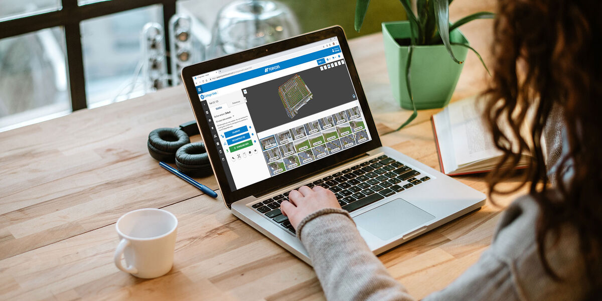
Collage exports LAS, LAZ, E57 point clouds, orthographic views, and cross-sections. Sharing outside the survey office requires file transfer and compatible desktop software on the receiving end. MAGNET Collage Web adds browser-based viewing and measurement, but access requires a Topcon account. Non-survey stakeholders (prosecutors, adjusters, commanders) face friction reaching the data.
SkyeBrowse exports LAZ point clouds for forensic reconstruction and CAD analysis, GLB meshes for interactive 3D walkthroughs in any web browser, and GeoTIFF orthomosaics for GIS integration. Sharing is a browser link. No Topcon account, no desktop software, no file download required. A prosecutor opens the crash model on a courtroom laptop. An adjuster reviews the property model on a tablet. A commander walks through the tactical pre-plan on a phone.
Head-to-Head Comparison
| Dimension | Topcon Magnet Collage | SkyeBrowse |
|---|---|---|
| Input | Laser scanners, total stations, drones, mobile mapping (Topcon-optimized) | Any .MP4/.MOV video |
| Processing Speed | 30 min to hours (desktop registration) | ~1:1 with video duration (cloud) |
| Ecosystem | Optimized for Topcon MAGNET suite | Hardware-agnostic, open formats |
| Operator Skill | Survey technician / geomatics engineer | Any field operator |
| Software Cost | $3,000-$8,000/seat + maintenance | Subscription (Lite/Premium/Advanced) |
| Hardware Cost | $30,000-$80,000+ per scanner, $100K+ total | Existing cameras (no purchase required) |
| Compliance | Standard commercial | CJIS, FedRAMP Moderate, AWS GovCloud |
| Output | LAS, LAZ, E57, cross-sections | LAZ, GLB, GeoTIFF (open formats) |
| Sharing | File export or MAGNET Collage Web (Topcon account) | Browser link, no account or install |
| Accuracy | Depends on source instruments | 0.1 inch (Premium Advanced, 16K) |
| Data Retention | Local storage / MAGNET Enterprise | 5-year guaranteed (Premium/Advanced) |
The Bottom Line
Collage solves a narrow problem: fusing point clouds from multiple Topcon instruments into a unified dataset for survey firms already invested in the Topcon ecosystem. That problem requires expensive hardware ($150K+), trained geomatics operators, desktop processing, and a Topcon-centric workflow. Outside that narrow niche, Collage offers limited value.
SkyeBrowse replaces the multi-instrument capture, the desktop registration, the survey-trained operator, and the six-figure hardware investment with a single workflow: record video, upload, receive a measured 3D model. Any camera, any operator, any browser. Processing completes in minutes. Output formats are open and universal. Compliance meets CJIS and FedRAMP standards. Scene documentation drops from 3 hours with 4 staff to 10 minutes with 1 operator. For public safety, construction, inspection, and any team that needs 3D documentation without running a professional survey operation, SkyeBrowse is the clear choice.
Get a SkyeBrowse Recommendation
If your team needs 3D site documentation without the overhead of multi-sensor field capture and desktop registration, SkyeBrowse turns video into measured models in minutes. Public safety, construction, and inspection teams use it to standardize 3D documentation across any camera, any operator, any scene.