Contents
- Setup and Infrastructure
- Processing Speed and Quality
- Device Compatibility
- Accuracy and Measurement
- Support and Reliability
- Compliance and Security
- True Cost of Ownership
- The Bottom Line
- Related Comparisons
- Get a SkyeBrowse Recommendation
OpenDroneMap (ODM) is an open-source, AGPL-licensed command-line toolkit that processes drone photographs into orthomosaics and point clouds on self-hosted Linux infrastructure. SkyeBrowse is a managed cloud platform that converts video from any camera into production-grade 3D models using patented videogrammetry. Here is how they compare across every dimension that matters for operational teams.
Setup and Infrastructure
OpenDroneMap requires a Linux server or Docker environment, and that environment becomes your responsibility from day one. You provision the hardware, pull the Docker image, configure processing parameters via command-line flags, manage disk space for tens of gigabytes of intermediate files per run, and troubleshoot container failures when they inevitably occur. Multi-operator setups require layering on WebODM or building custom job management. Every upgrade, patch, and security update falls on your IT team.
SkyeBrowse requires a web browser. Upload a video file, and processing runs on AWS GovCloud infrastructure that SkyeBrowse manages entirely. No Docker, no Linux, no storage planning, no system administration. A patrol officer or field inspector logs in and submits a capture the same way they would send an email. The infrastructure scales automatically, whether your agency processes one model a week or fifty a day.
Processing Speed and Quality
ODM's processing speed depends entirely on the hardware you provision. A 200-image dataset might take 30 minutes on a high-end workstation or several hours on a modest machine. Large datasets (500+ images) can demand 64 GB of RAM and still run for hours. Output quality fluctuates with input parameters, and tuning those parameters requires photogrammetry expertise that most field teams do not have. There is no guaranteed turnaround, and a failed run means starting over after diagnosing the issue.
SkyeBrowse processes video at a roughly 1:1 ratio: ten minutes of video produces a finished 3D model in about ten minutes, regardless of who uploads it. Premium Advanced delivers 16K resolution at 0.1-inch accuracy with AI-powered moving object removal. Premium provides 8K resolution at 0.25-inch accuracy. Even Lite tier, at 2-6 inch accuracy, delivers consistent results without parameter tuning. The quality is repeatable because the pipeline is managed, not improvised.
Device Compatibility
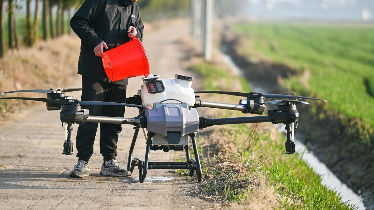
ODM accepts one input type: geotagged drone photographs. If your workflow involves smartphone video, body-worn camera footage, 360-degree camera captures, or any non-drone source, ODM cannot process it. Every capture must be a carefully planned drone flight with sufficient photo overlap and consistent altitude.
SkyeBrowse accepts any .MP4 or .MOV video through Universal Upload. Drones, smartphones, body-worn cameras, GoPros, and 360-degree cameras all feed the same pipeline. A single agency can document a crash scene with a drone orbit, capture a building interior with a phone walkthrough, and record a tactical pre-plan with a 360 camera, all processed through one platform. That flexibility eliminates the need for separate tools for separate devices.

Accuracy and Measurement
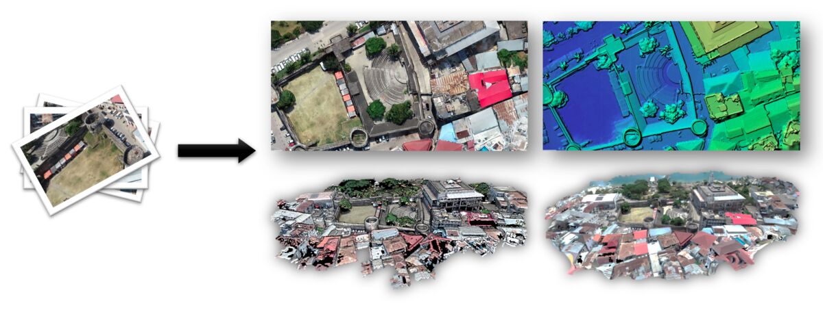
ODM produces orthomosaics and point clouds that are useful for visual reference and basic mapping. Measurement accuracy depends on ground control points, input quality, and extensive parameter tuning. Achieving survey-grade results requires photogrammetry expertise and careful field planning. Without that expertise, accuracy is inconsistent and unverifiable.
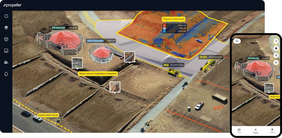
SkyeBrowse provides calibrated, tiered accuracy across every model. Premium Advanced delivers 0.1-inch accuracy at 16K resolution, with AI moving object removal that cleans pedestrians and vehicles from the scene automatically. Premium delivers 0.25-inch accuracy at 8K resolution. Lite provides 2-6 inch accuracy for rapid reference models. Every tier exports to LAZ point clouds for CAD and forensic tools, GLB meshes for courtroom walkthroughs, and GeoTIFF orthomosaics for GIS integration. The measurements are defensible because the pipeline is calibrated, not approximated.
Support and Reliability
ODM's support model is community-driven. An active forum and GitHub issue tracker handle most questions, but responses are volunteer-driven, and complex problems can take days to resolve. When a processing run fails at 2 AM during an active investigation, you are waiting for someone to see your forum post. Commercial support is available through OpenDroneMap Inc., but it is an add-on cost to what was supposed to be a free tool.
SkyeBrowse provides commercial support with defined response times, structured onboarding, and training tailored to your vertical. Law enforcement teams receive chain-of-custody training. Fire departments learn pre-incident planning workflows. Construction teams get volume measurement guidance. When the platform is your operational infrastructure, guaranteed uptime and responsive support are included, not optional extras.
Compliance and Security
ODM has no compliance certifications. None. If your agency handles sensitive or evidentiary data, you must build an entire compliance wrapper from scratch: securing the server, managing access controls, establishing audit trails, documenting chain of custody. Achieving CJIS compliance on a self-hosted Docker environment is a project unto itself, and maintaining that compliance is an ongoing burden.
SkyeBrowse runs on AWS GovCloud (US) with FedRAMP Moderate authorization and CJIS-compliant workflows built in. Audit trails, controlled sharing, and role-based access are part of the platform. Premium and Premium Advanced tiers include 5-year guaranteed data retention. For any agency where evidentiary integrity or regulatory compliance is non-negotiable, SkyeBrowse delivers it out of the box while ODM requires you to build and maintain it yourself.
True Cost of Ownership
ODM is free to download. It is not free to operate. The real costs include server hardware (16-64 GB RAM, fast storage), IT labor to install, configure, maintain, and troubleshoot the Docker environment, disk space management for multi-gigabyte processing runs, and the operational risk of depending on unsupported infrastructure during time-critical incidents. For an agency processing incidents daily, those hidden costs add up to far more than a subscription. For a full breakdown of open-source and freemium options, see our guide to free drone mapping software.
SkyeBrowse's subscription includes processing, storage, compliance, support, 5-year data retention, and continuous platform updates. No hardware to buy, no servers to maintain, no IT staff to dedicate. The cost is predictable and transparent. When scene documentation drops from 3 hours with 4 officers ($360) to 10 minutes with 1 operator ($25), the subscription pays for itself on the first incident.
| OpenDroneMap | SkyeBrowse | |
|---|---|---|
| Infrastructure | Self-hosted Linux/Docker | Managed cloud (AWS GovCloud) |
| Input | Geotagged drone photos only | Any .MP4/.MOV (drones, phones, BWC, 360) |
| Processing Speed | Hours (hardware-dependent) | ~1:1 ratio (minutes) |
| Accuracy | Variable, requires tuning | 0.1" (Advanced), 0.25" (Premium), 2-6" (Lite) |
| Measurement Tools | Basic (requires expertise) | Calibrated, built-in |
| Exports | Orthos, point clouds, meshes | LAZ, GLB, GeoTIFF |
| Compliance | None | CJIS, FedRAMP Moderate |
| Support | Community forums | Commercial SLA |
| Data Retention | Self-managed | 5-year guaranteed |
| True Cost | "Free" + hardware + IT labor | Predictable subscription |
The Bottom Line
OpenDroneMap is a capable open-source toolkit for teams with dedicated IT staff, Linux expertise, and no compliance requirements. SkyeBrowse is a production platform for organizations that need fast, accurate, compliant 3D models from any camera without building infrastructure. Every dimension that matters for operational work (speed, device flexibility, accuracy, compliance, support, and total cost) favors SkyeBrowse. The "free" label on ODM obscures an infrastructure burden that most operational teams cannot afford to carry.
Get a SkyeBrowse Recommendation
If your team needs compliant, fast 3D documentation without building infrastructure, SkyeBrowse handles the processing so your operators can focus on the mission.