Crime scene 3D mapping software turns a documented scene into a measurable three-dimensional record investigators, attorneys, and juries can revisit years later. The category spans laser scanner suites, desktop photogrammetry (geometry from overlapping still images), and cloud videogrammetry (the same geometry from one video pass). Here's what separates them on capture inputs, indoor scenes, evidence marking, court exhibits, security, and cost.
Key Takeaways
- Capture input is the first filter: software tied to still photos or to its own scanner point clouds locks a unit into one hardware path.
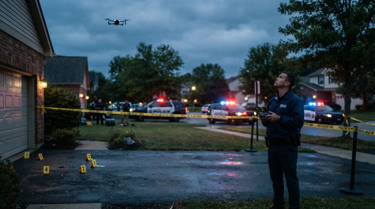
- SkyeBrowse builds models from video, so one officer covers an outdoor scene with a drone orbit or a room with a slow phone walkthrough.
- Accuracy runs to 0.5 inch on Commercial and Pro models and 0.1 inch on Public Safety & Enterprise, improving as the camera moves closer.
- Evidence icons, Case Gallery, Factual Diagram PDFs, Axon export, and CJIS (Criminal Justice Information Services) compliance are Public Safety & Enterprise features.
- Per-model pricing beats seat licensing: Public Safety & Enterprise is $199 per model per year with unlimited users and 5-year storage.
Contents
- What is crime scene 3D mapping software?
- Which capture inputs should crime scene mapping software accept?
- How do crime scene 3D mapping tools compare in 2026?
- Can 3D mapping software document indoor crime scenes?
- How do investigators mark evidence and build court exhibits?
- What security and chain-of-custody requirements apply?
- What does crime scene 3D mapping software cost per scene?
- FAQ
What is crime scene 3D mapping software?
Crime scene 3D mapping software converts field capture into a dimensionally accurate 3D model investigators can measure, annotate, and present after the scene is released. The category splits on where geometry comes from: a laser scanner suite registers point clouds from its own hardware, while photogrammetry and videogrammetry platforms rebuild it from imagery any camera can collect.
Staffing and scene time show the difference. A scanner workflow means tripod setups at multiple stations, registration, and desktop processing; a video workflow means one officer flying an orbit or walking a room, then uploading footage. Middletown Police Department documented that shift on crash scenes, moving from five officers and 2.5 hours per scene to one officer in 7.5 minutes, and Seward Police Department reports a similar drop from about 3 hours to roughly 10 minutes.
Scanner suites also assume a trained operator and a certification path, which is why drone crime scene mapping has reached patrol and CSI units with no dedicated mapping staff.
Which capture inputs should crime scene mapping software accept?
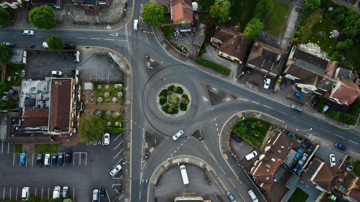
Look for software that accepts the cameras your unit already carries. Drone video covers outdoor scenes and rooftops, smartphone video covers interiors and close detail work, 360 cameras cover tight hallways, and still images should attach as documentation. A platform tied to one capture device limits which scenes you document and how fast you clear them.
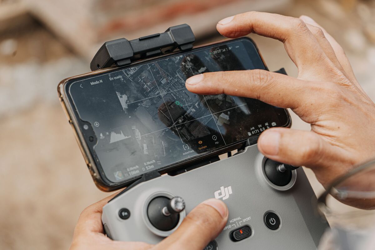
SkyeBrowse processes .MP4 and .MOV video through Universal Upload or the SkyeBrowse Flight App, and reads telemetry sidecar files (.SRT from DJI, .ASS from Autel) that sharpen georeferencing. Photographs attach as annotations rather than feeding reconstruction, since processing is video based. Write that into the capture SOP: the responding officer records a continuous pass, then pins the usual evidence photos where those items were found.
Hardware still matters, and our guide to drone hardware for crime scene work covers airframe choice. The same capture rules carry over to drone mapping software generally.
How do crime scene 3D mapping tools compare in 2026?
Three families dominate. Terrestrial laser scanner suites pair proprietary hardware with registration software. Desktop photogrammetry packages take imagery from any camera and process locally on a GPU workstation. Cloud videogrammetry platforms take drone and phone video and process on remote servers, removing the workstation requirement.
| Category | Capture input | Processing | Licensing model |
|---|---|---|---|
| Laser scanner suite | Proprietary scanner point clouds | Desktop registration | Hardware purchase plus subscription |
| Desktop photogrammetry | Still images, some video | Local GPU workstation | Per-seat subscription |
| Cloud videogrammetry (SkyeBrowse) | Drone, smartphone, 360, body camera video | Cloud, no local hardware | Per model, unlimited users on Public Safety & Enterprise |
Feature sets and prices in the first two categories move often, so verify current terms on the vendor's own site. Our roundup of 3D mapping software for police goes platform by platform.
Accuracy carries an assumption worth correcting: scanning hardware isn't the only path to sub-inch measurements. Videogrammetry accuracy scales with capture distance, so a lower orbit or a handheld walk-up to a shell casing yields survey-grade measurements of that object. SkyeBrowse delivers 0.5 inch with 8K processing on Commercial and Pro models and 0.1 inch with 16K Ultra on Public Safety & Enterprise, where AI Moving Object Removal also clears transient people and vehicles.
Can 3D mapping software document indoor crime scenes?
Yes, when the software has a dedicated interior processing mode and accepts handheld video. Indoor scenes break outdoor assumptions: GPS is unavailable, lighting is uneven, and the camera path runs through doorways instead of orbiting overhead. Platforms without an interior mode warp hallway and small-room geometry.
SkyeBrowse handles interiors through an Interior Mapping toggle at upload, with enhanced interior algorithms on Public Safety & Enterprise. Technique carries most of the weight: record at 1080p/60fps wide-angle, move slowly and smoothly, and hold camera height steady through doorways. Smartphones, FPV drones such as the DJI Avata, and 360 cameras exporting equirectangular (flattened 360-degree) MP4 all work, and interior models usually need the Scale tool since no GPS anchors their dimensions.
Indoor capture also yields the walkthrough material attorneys ask for: Image Walkthroughs place clickable image icons along the capture path, and Walk Mode moves a viewer through the scene at eye level.
How do investigators mark evidence and build court exhibits?
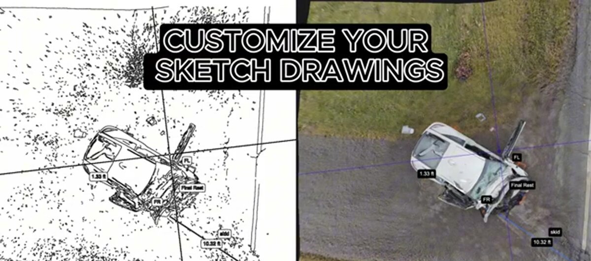
Evidence marking happens in the viewer after processing. Investigators drop standardized public safety symbols and annotations onto the model, measure between items, and export a report the court can accept as an exhibit. Most platforms also generate a top-down diagram that replaces the hand sketch.
SkyeBrowse puts marking tools in the Measure panel. The Icons tool offers a searchable picker of law enforcement, fire, and EMS symbology from the NAPSG Foundation all-hazards library plus an NFPA-170-style set, and every placed icon lists in the object tree to show, hide, or remove. Case Gallery attaches photographs to annotations, so one pin holds a set of evidence images. Factual Diagram generates a court-ready PDF from a reference point, annotations, measurements, a top-down overview, and a sketch page; its AI option drafts a neutral description from investigator notes, scoped to description only and never to fault, speed, or cause.
Two analysis tools carry specific evidentiary weight. Line of Sight places up to two observer points on the textured model and colors visible areas green and blocked areas red, answering witness visibility and shooter position questions; it was used in the Utah Valley University investigation into the Charlie Kirk murder, described in our sightline analysis case study. Sun & Shadow simulates lighting at a chosen date and time. Icons, Case Gallery, and Factual Diagrams require Public Safety & Enterprise; Line of Sight and Sun & Shadow require Pro or Public Safety & Enterprise.
Presentation is a separate decision, covered in our guides to 3D model viewers for court and the Daubert standard, while NIST's forensic science program tracks how documentation practice is formalizing.
What security and chain-of-custody requirements apply?
Any platform holding scene models, case metadata, or investigator annotations is handling criminal justice information, which puts it under the FBI CJIS Security Policy and your state's agreement. Four requirements matter operationally: US-based hosting, access logging, multi-factor authentication, and a defined retention window.
SkyeBrowse hosts on AWS in the United States at FedRAMP Impact Level 2. Full CJIS compliance and chain of custody are maintained on Public Safety & Enterprise, with model access, user actions, and sharing logged and two-factor authentication available. Freemium, Commercial, and Pro models don't carry that coverage, so a unit evaluating on a free account should plan the step before the first real case goes in. Axon Evidence.com export is likewise Public Safety & Enterprise only.
Ask about retention during procurement: Public Safety & Enterprise models carry 5-year guaranteed storage, covering most statutory windows without a separate archive. Units comparing platforms on compliance can start with our breakdown of CJIS compliant mapping platforms; the FBI CJIS Security Policy is what your agency's CJIS officer will cite.
What does crime scene 3D mapping software cost per scene?
Cloud platforms price per model, while scanner suites and desktop packages price per seat on top of hardware. Per-model pricing tracks caseload, so a unit documenting twelve major scenes a year pays for twelve scenes rather than a license idling between callouts.
SkyeBrowse pricing as of September 2026: Freemium is free with unlimited uploads, 2 concurrent models, a 30-day archive, and no exports, enough to test capture technique. A Commercial model costs $24.99, or $19.99 with annual billing, and keeps the model 3 months. A Pro model costs $49.99, or $39.99 annually, adding 1-year storage, exports, AI Floor Plan, AI Site Plan, Line of Sight, and Sun & Shadow. Public Safety & Enterprise is $199 per model per year and is the casework tier: 16K Ultra at 0.1 inch accuracy, CJIS compliance and chain of custody, Icons, Factual Diagrams, Case Gallery, slope and profile analysis, Axon Evidence.com export, 5-year storage, and unlimited user licenses.
Per-model rather than per-seat pricing changes the budget math: adding detectives, supervisors, and the prosecutor's office costs nothing extra. Agencies can apply for the Pilot Program for roughly two weeks of Public Safety & Enterprise access before a purchase order; broader deployment patterns sit on our public safety use cases page.
FAQ
What software do police use to map crime scenes?
Three categories: laser scanner suites tied to scanning hardware, desktop photogrammetry packages, and cloud videogrammetry platforms such as SkyeBrowse that build a measurable model from drone or smartphone video. Many units keep a scanner for scheduled indoor work and run a cloud platform for everything else, compared in our police roundup.
Is a 3D crime scene model admissible in court?
It's offered like any other demonstrative record: a witness testifies that the model fairly and accurately depicts the scene, and the method faces a Daubert or Frye challenge. A documented capture method, measurable accuracy, an access log, and a clear exhibit output are what hold up, as our Daubert article explains.
How accurate does crime scene 3D mapping software need to be?
Arguments over vehicle positions, trajectories, and room dimensions are made at sub-inch precision. SkyeBrowse measures to 0.5 inch on Commercial and Pro models and 0.1 inch on Public Safety & Enterprise, and a low pass or handheld walk-up gives finer detail on a specific item.