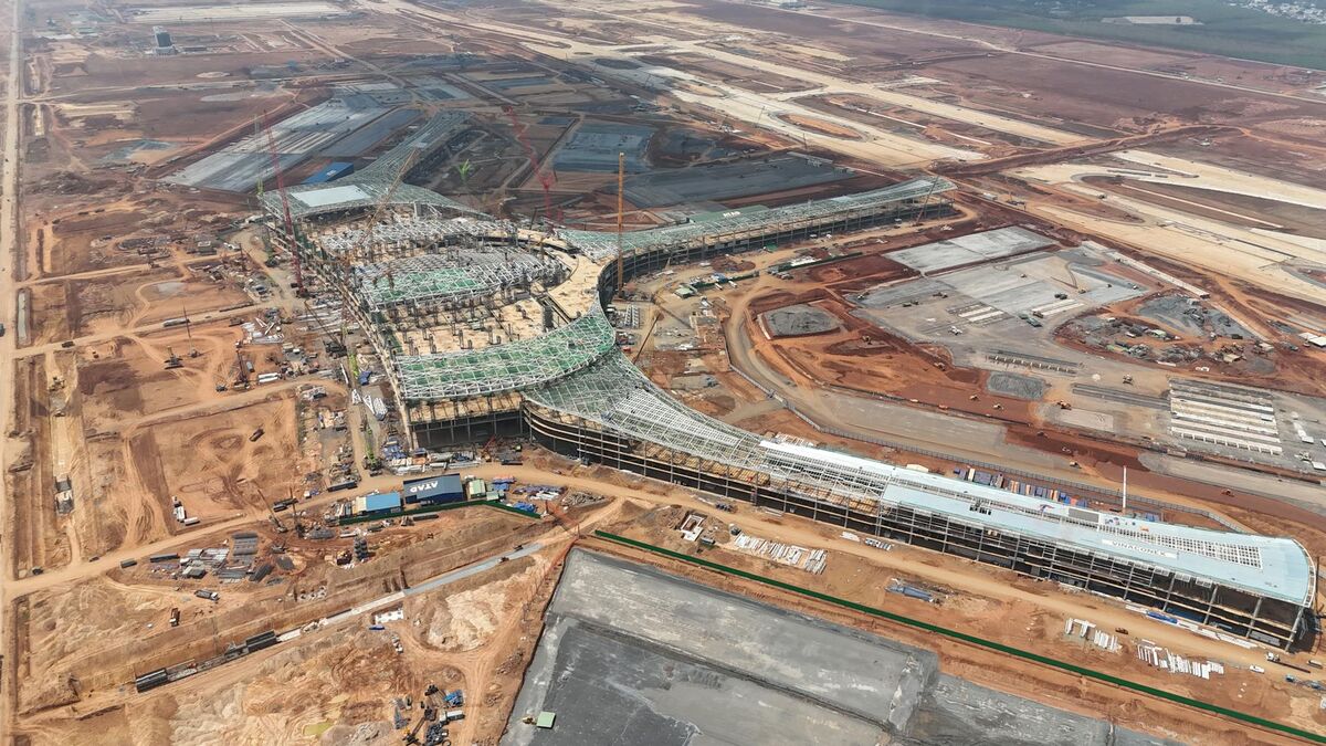
Drone as-built documentation gives project teams a faster way to capture what is actually in the field instead of relying on outdated drawings, scattered photos, or a delayed closeout package. In construction and facility workflows, an as-built is the current-condition record of how the asset was really installed. The value is having that record soon enough to support coordination, owner communication, and dispute prevention while the project is still moving.
Key Takeaways
- Drone as-built documentation creates a measurable current-condition record of a job site from aerial video — faster than traditional scan campaigns or manual measurements.
- SkyeBrowse uses videogrammetry to turn short drone video into reviewable 3D models the same day, supporting more frequent site refreshes than conventional photogrammetry workflows allow.
- Outputs include orthomosaics, point clouds (LAZ), 3D mesh files (GLB), and GeoTIFFs — shareable without forcing stakeholders into CAD tools.
- Accuracy requirements depend on the decision being supported: progress checks and coordination need relative consistency, while legal survey certification requires a licensed workflow with formal validation.
- Drone as-built capture is most effective for exterior conditions; interior-heavy assets, concealed systems, or dense under-canopy areas may require supplemental handheld or terrestrial methods.
Contents
- What is drone as-built documentation?
- Why do teams use drones for as-built documentation?
- How accurate does drone as-built documentation need to be?
- Where does SkyeBrowse fit in an as-built workflow?
- What are the limits of drone-based as-built capture?
- FAQ
What is drone as-built documentation?
Drone as-built documentation is the use of drone capture to create a measurable current-condition record of a job site, structure, or asset after work has been installed. Instead of relying only on paper markups or late contractor closeout drawings, teams use aerial reality capture to show what exists in the field now.
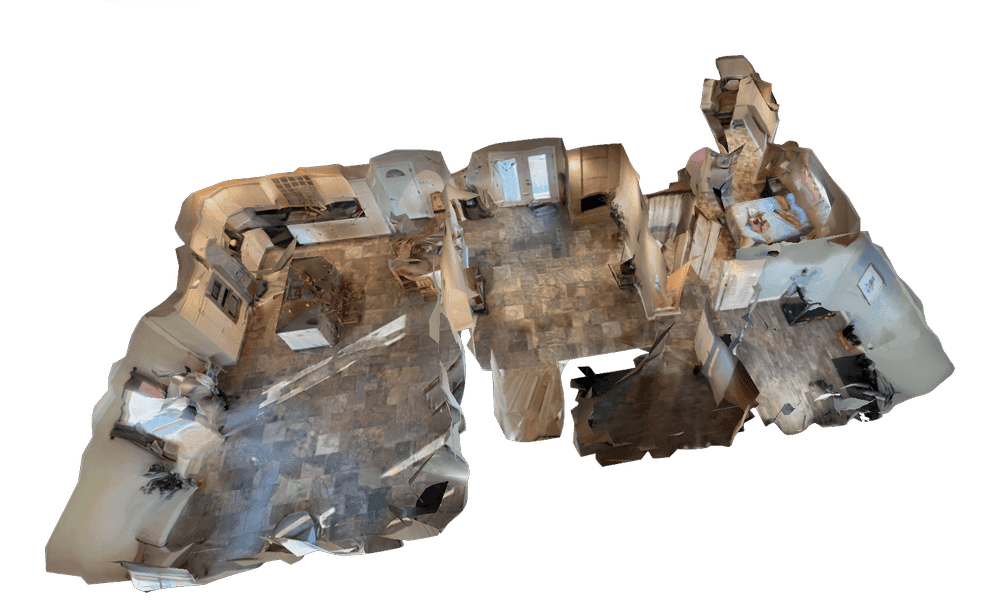
That record can take the form of an orthomosaic or a textured 3D model, or a point cloud. In openBIM terms, buildingSMART describes interoperable information flow as a foundation for coordination across disciplines. Drone as-built documentation supports that goal by creating a shared spatial reference that owners, VDC teams, supers, and subcontractors can review without interpreting dozens of disconnected photos.
An as-built is not the original design model. It is the field-verified condition. That is why this topic naturally overlaps with drone digital twin and BIM coordination drone workflow, both of which depend on current-condition capture rather than static design intent.
Why do teams use drones for as-built documentation?
Teams use drones for as-built documentation because they reduce the time and labor required to capture large exterior conditions. A short flight can refresh site reality far faster than manual measurement or a specialist-only scan campaign.
The core advantage is cadence. A traditional scan-to-model program often becomes an occasional event, while a drone can be deployed repeatedly as work progresses. Autodesk's digital project delivery guidance reflects the same operational pressure: site information has to move fast enough to influence decisions, not just document history.
Drone capture is especially useful when teams need to:
- verify installed work against design or phasing assumptions
- create owner-facing progress records
- document trench backfill, utilities, grading, or roofing before conditions change
- maintain a time-stamped visual record for disputes and turnover
Because commercial drone work still has to operate inside FAA Part 107 requirements, the best as-built workflows are the ones that stay simple enough for repeat field use. If capture becomes too formal or too slow, teams stop refreshing the record often enough for it to stay useful.
How accurate does drone as-built documentation need to be?
The required accuracy depends on the decision the model needs to support. For progress checks, owner communication, and many coordination workflows, relative accuracy and consistency matter more than formal survey certification.
That distinction is important because "as-built" can mean very different things to different teams. A superintendent comparing exterior progress against last week's model does not need the same workflow as a licensed surveyor certifying final grading. According to the ASPRS positional accuracy standards, accuracy only becomes meaningful when it is tied to a documented capture and validation process.
For many construction as-built use cases, the real question is whether the model is accurate enough to reveal meaningful deviation, communicate installed condition, and support downstream CAD or GIS review. When the deliverable moves closer to formal survey or legal certification, the workflow needs stronger control and validation than a speed-first capture routine is designed to provide.
Where does SkyeBrowse fit in an as-built workflow?
SkyeBrowse fits when the team needs drone as-built documentation quickly enough to affect active work. It is the fast-capture layer that turns short video into reviewable 3D and 2D outputs without a long photogrammetry queue.
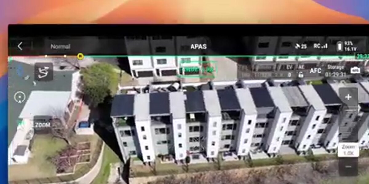
SkyeBrowse uses videogrammetry, which is the conversion of continuous video into spatial output, instead of requiring a dense still-photo workflow for every job. That makes it useful when the project needs more refresh frequency than a conventional reconstruction program can comfortably support. A field lead can capture a short orbit, upload through Universal Upload, and review a model in app.skyebrowse.com the same day.
That speed helps with:
- same-day exterior as-built refreshes
- comparison against design intent or prior progress records
- export of
LAZ,GLB, orGeoTIFFoutputs for downstream review - owner and stakeholder sharing without forcing everyone into CAD
It also connects well with construction progress monitoring and drone mapping software guide.
What are the limits of drone-based as-built capture?
Drone-based as-built capture is strongest for exterior current-condition documentation, but it does not replace every survey, scanning, or closeout workflow. Teams still need to match the capture method to the deliverable risk.
The main limit is scope. Exterior aerial capture is efficient, but interior-heavy assets, concealed systems, or dense under-canopy conditions may require handheld, 360, or terrestrial workflows to complete the record. Drone models also do not automatically become legally certified documents simply because they are measurable.
The right framing is pragmatic: use drone as-built documentation where it creates real operating speed, clearer communication, and better field visibility. Use more formal survey or scanning workflows where the project requires licensed certification or stricter positional defensibility.

FAQ
Can drone as-built documentation replace a licensed survey?
No. It is excellent for current-condition capture, coordination, and progress verification, but licensed survey deliverables still require the appropriate survey workflow and validation.
What outputs matter most for as-built workflows?
Orthomosaics, point clouds, and shareable 3D models are usually the most useful because they support both quick review and downstream CAD or GIS work — see our guide on best orthomosaic software for construction for a breakdown of platform options.
Where does SkyeBrowse help most?
SkyeBrowse helps most when the project needs fast repeat capture instead of a slow reconstruction cycle. That is especially valuable for active construction, owner updates, and same-day field verification.
Drone as-built documentation works best when the record stays current enough to change a decision. That is the operational gap SkyeBrowse is built to close.