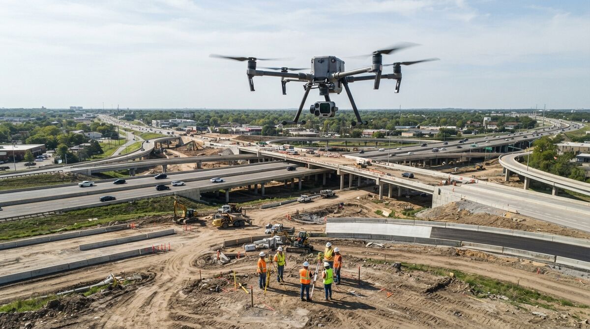
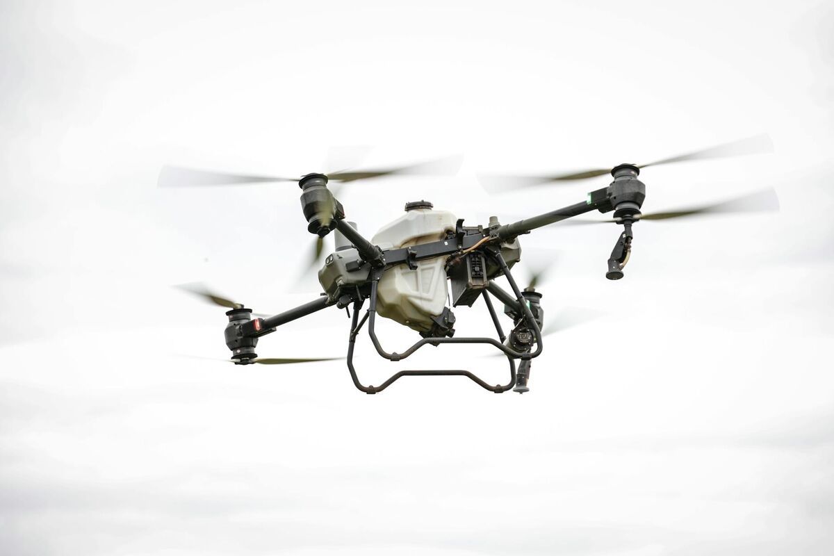
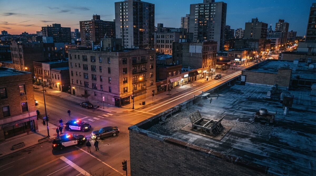
DJI Matrice 400 mapping pairs DJI's longest-flying enterprise airframe with automated video capture, since the M400 sits on the SkyeBrowse Flight App fully supported list. Videogrammetry is the process of building a measurable 3D model from continuous video instead of thousands of still photos. This guide covers the M400 specs that matter for mapping, ground sample distance at common altitudes, Orbit and WideBrowse settings, the best use cases, and how the aircraft stacks up against the Matrice 4E, 4T and M350 RTK.
Key Takeaways
- The DJI M400 is fully supported by the SkyeBrowse Flight App for automated Orbit and WideBrowse grid missions with the required compatible controller.
- DJI rates the Matrice 400 at 59 minutes of flight, a 6 kg payload and a 40 km FCC transmission range, so one battery set covers far more acreage than smaller enterprise drones.
- Ground sample distance depends on the payload: a Zenmuse P1 35mm lens recording 4K video resolves about 1.6 cm per pixel at 60 m.
- Fly the M400 closer for tighter models: Commercial and Pro reconstructions measure to half an inch, and Public Safety & Enterprise models hold a tenth of an inch.
- Any M400 video, flown in the Flight App or manually, becomes a 3D model and orthomosaic in the browser with no desktop processing.
Contents
- What is the DJI Matrice 400?
- Does SkyeBrowse support the DJI Matrice 400?
- What GSD does the Matrice 400 deliver at common mapping altitudes?
- What settings work best for Matrice 400 Orbit and WideBrowse missions?
- What is the Matrice 400 best used for in mapping?
- How does the M400 compare with the Matrice 4E, 4T and M350 RTK?
- What does it cost to process Matrice 400 video in SkyeBrowse?
- FAQ
What is the DJI Matrice 400?
The DJI Matrice 400 is DJI's newest heavy-lift enterprise drone, launched in June 2025 above the M350 RTK in the lineup. It flies up to 59 minutes, carries up to 6 kg of payload, and holds IP55 weather protection. Mapping crews mount a Zenmuse P1, L2, L3, H30 or H30T on it.
The numbers below come from DJI's official Matrice 400 specifications. Endurance sets how many acres you cover per battery swap, payload capacity sets which sensors you can carry, and range sets how far a grid can stretch from launch.
| Spec | DJI Matrice 400 |
|---|---|
| Max flight time | 59 minutes (53 minutes hover) |
| Max payload | 6 kg |
| Max takeoff weight | 15.8 kg |
| RTK (real-time kinematic) positioning | 1 cm + 1 ppm horizontal, 1.5 cm + 1 ppm vertical |
| Max transmission (FCC) | 40 km |
| Ingress protection | IP55, operating from -20 to 50 °C |
| Obstacle sensing | Rotating LiDAR, upper LiDAR, mmWave radar |
| Compatible payloads | Zenmuse P1, L2, L3, H30, H30T |
For utility crews, DJI says the mmWave radar detects power lines in six directions.
Does SkyeBrowse support the DJI Matrice 400?
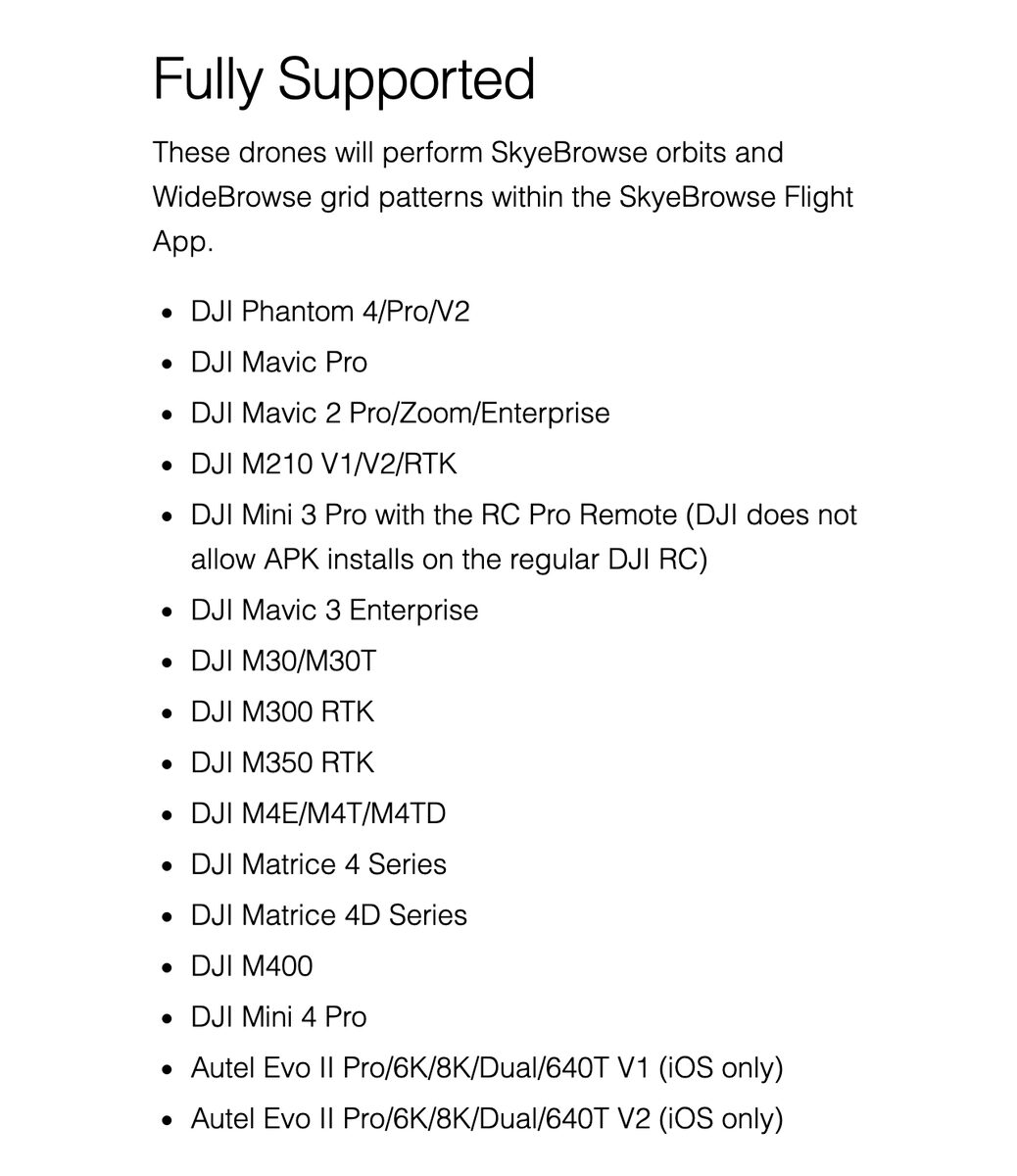
Yes. The DJI M400 is on the SkyeBrowse Flight App fully supported list, so it flies both automated mission types when used with the required compatible controller. Orbit mode covers scenes under an acre with a two-orbit pass, and WideBrowse runs grid patterns over larger sites.
The app handles the flight pattern and the recording, so nobody hand-flies overlapping passes. WideBrowse adds Cross Grids, a perpendicular second pass that fills in lateral detail on structured scenes, and Side Scan, an orbital pass that captures building facades. The Previous Flights panel reloads the settings of an earlier WideBrowse mission, which saves time when you map the same site every week.
Check your controller and payload pairing on the supported drones list before the first job. If your setup isn't paired yet, fly the mission in DJI's own app, then hand the clip and its .SRT telemetry to Universal Upload so the subtitle data can georeference the model. Either path ends in the same browser-based drone mapping software, so there's no workstation to buy.
What GSD does the Matrice 400 deliver at common mapping altitudes?
Ground sample distance, or GSD, is the real-world size of one image pixel on the ground. With a Zenmuse P1 and 35mm lens recording 4K video, the M400 resolves about 1.6 cm per pixel at 60 m and 3.2 cm at 120 m. The wider H30 camera lands near 2.3 cm at 60 m.
GSD equals sensor width times altitude, divided by focal length times image width in pixels. The P1 inputs from DJI's Zenmuse P1 specifications are a 35.9 mm full-frame sensor width, a 35 mm lens, and 3,840-pixel 4K video. The H30 wide camera uses its 24 mm equivalent focal length against a 36 mm equivalent sensor width at the same 3,840 pixels. Treat both as planning figures.
| Altitude above ground | P1 35mm, 4K video | H30 wide, 4K video |
|---|---|---|
| 40 m (131 ft) | 1.1 cm/pixel | 1.6 cm/pixel |
| 60 m (197 ft) | 1.6 cm/pixel | 2.3 cm/pixel |
| 90 m (295 ft) | 2.4 cm/pixel | 3.5 cm/pixel |
| 120 m (394 ft) | 3.2 cm/pixel | 4.7 cm/pixel |
The 120 m row sits just under the 400 ft ceiling the FAA Part 107 rules set for commercial flights. If a deliverable needs finer detail, fly lower. Videogrammetry accuracy scales with capture distance, so dropping from 90 m to 40 m more than halves the pixel footprint.
What settings work best for Matrice 400 Orbit and WideBrowse missions?
Record 4K video, lock the zoom, and fix exposure and white balance before takeoff. Use Orbit mode for a single structure or scene under an acre and WideBrowse for anything larger, adding Cross Grids for buildings and Side Scan for facades. Choose altitude from the GSD table.
SkyeBrowse recommends 4K for drone capture; 1080p works and processes faster at a lower model resolution. A locked zoom keeps focal length constant, and fixed exposure stops brightness shifting as the aircraft turns into the sun.
Speed matters because video frames blur if the aircraft moves more than about one GSD during an exposure. At 8 m/s and a 1/1000 s shutter, the M400 travels 0.8 cm during each exposure, which is inside the 1.6 cm footprint at 60 m. When flying low for fine detail, slow down or raise the shutter speed to keep that ratio.
For manual grids sent through Universal Upload, plan roughly 70 to 80 percent side overlap between lines, move around the subject instead of panning in place, and avoid long stretches of sky, glass or open water. Turn on GPS subtitle recording so the .SRT file can georeference the model.
What is the Matrice 400 best used for in mapping?
The Matrice 400 fits missions where endurance and payload decide the outcome. That means large public safety scenes, construction sites mapped every week, long utility corridors, and survey programs that swap camera and LiDAR payloads on one airframe.
Public safety and DFR. Long hover time keeps an aircraft over a scene while investigators work, and the H30T adds a 1280 x 1024 thermal camera for night searches. Agencies building drone-as-first-responder programs can see how the capture feeds a scene model in our DFR 3D mapping guide.
Construction. One flight grids a large site and captures facades with Side Scan, so progress models are ready for the afternoon meeting.
Inspection. The H30 zoom camera reads detail on towers and bridges from a standoff distance, while the mmWave radar watches for lines.
Surveying. The M400's RTK holds 1 cm + 1 ppm horizontal positioning, and pairing it with ground control yields certified absolute coordinates under the ASPRS positional accuracy standards. For a broader look at airframes built for this work, see our mapper drone roundup.
How does the M400 compare with the Matrice 4E, 4T and M350 RTK?
The M400 wins on endurance, payload and range. The Matrice 4E and 4T are lighter, integrated aircraft that suit fast single-operator jobs, and the M350 RTK is the previous-generation modular platform with a shorter 55-minute flight time and half the FCC range.
| Aircraft | Max flight time | Payload approach | Best mapping fit |
|---|---|---|---|
| Matrice 400 | 59 min | Interchangeable, up to 6 kg | Large sites, corridors, multi-sensor programs |
| M350 RTK | 55 min | Interchangeable, lighter payloads | Existing fleets, mid-size survey jobs |
| Matrice 4E | 49 min | Built-in 4/3 mapping camera | Turnkey photogrammetry, quick deploys |
| Matrice 4T | 49 min | Built-in wide, zoom, thermal | Night public safety, search and rescue |
All four are on the Flight App fully supported list. Our Matrice 4E mapping guide covers the integrated 4 series in detail, and the M350 RTK mapping software guide covers the earlier heavy-lift platform.
What does it cost to process Matrice 400 video in SkyeBrowse?
Uploading M400 video and building models on Freemium is free. Paid processing is per model: a Commercial model is $24.99 with 3 months of storage, a Pro model is $49.99 with a year of storage and exports, and Public Safety & Enterprise is $199 per model per year.
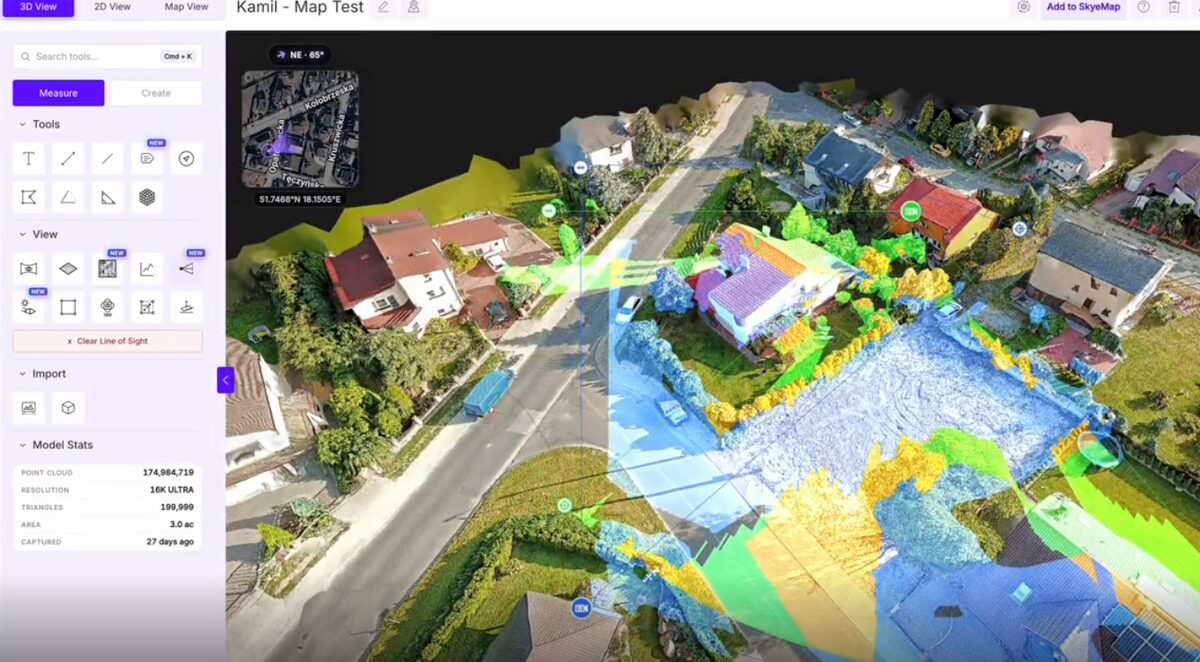
An M400 grid on a Commercial or Pro model gets 8K reconstruction, good for measurements to half an inch; annual billing lowers those models to $19.99 and $39.99. Agencies mapping scenes and evidence can move to Public Safety & Enterprise, where 16K Ultra reconstruction tightens measurements to a tenth of an inch and adds CJIS compliance, chain of custody and unlimited users. Pro and Public Safety & Enterprise models export LAZ point clouds, GLB meshes and GeoTIFF orthomosaics. Freemium organizations that haven't had a paid plan can get their first full Commercial model for $5. The drone mapping app comparison shows how this per-model pricing stacks up, and full plan details live on the pricing page.
FAQ
Does SkyeBrowse support the DJI M400?
Yes. The DJI Matrice 400 is on the SkyeBrowse Flight App fully supported list, so it can fly automated Orbit and WideBrowse grid missions when used with the required compatible controller. Any M400 video can also be processed through Universal Upload. Confirm your pairing on the supported drones list.
What are the DJI Matrice 400 specs that matter for mapping?
DJI lists a 59-minute max flight time, a 6 kg max payload, IP55 protection, RTK positioning of 1 cm + 1 ppm horizontal, a 40 km FCC transmission range, and support for the Zenmuse P1, L2, L3, H30 and H30T payloads.
Is the Matrice 400 better than the M350 RTK for mapping?
For long or heavy missions, yes. The M400 flies up to 59 minutes against the M350 RTK's 55, carries up to 6 kg, and doubles the FCC transmission range to 40 km.
What altitude should I fly the Matrice 400 for mapping?
Pick the altitude from the GSD you need. With a Zenmuse P1 35mm lens recording 4K video, 60 m gives about 1.6 cm per pixel and 120 m about 3.2 cm. Fly lower for finer detail and stay under the FAA's 400 ft limit.