Photogrammetry — the science of deriving accurate measurements and 3D geometry from overlapping images — has become a practical tool for industries ranging from construction and insurance to public safety and land surveying. Whether you are evaluating vendors for a one-off project or selecting a long-term partner, knowing what separates a capable photogrammetry service from a mediocre one can save you weeks of rework and thousands of dollars in disputed deliverables. This guide covers the criteria that matter most: accuracy tiers, deliverable formats, turnaround speed, compliance, and the software platforms the best providers run.
Key Takeaways
- Photogrammetry accuracy ranges from 2–6 inch for standard drone flights to sub-0.25 inch for high-resolution processing with RTK GPS and ground control points — always ask providers which tier applies to your project.
- Standard deliverables should include an orthomosaic, point cloud, 3D mesh, and elevation model; providers who only supply photos or video are not offering a complete photogrammetry service.
- Turnaround time is largely determined by processing software: cloud-based platforms can return models in minutes, while desktop pipelines may take hours to days for large sites.
- For regulated industries (public safety, insurance, legal), ask explicitly about data sovereignty, hosting environment, and whether the platform meets compliance frameworks such as FedRAMP Moderate.
- The photogrammetry software a provider uses affects everything from model accuracy to export format compatibility — SkyeBrowse's cloud platform is built specifically for rapid-turnaround aerial and indoor mapping workflows.
Contents
- What is photogrammetry and how does it work?
- What accuracy standards should a photogrammetry service meet?
- What deliverables should a photogrammetry provider supply?
- How important is turnaround speed, and what drives it?
- What compliance and data security requirements matter?
- FAQ
What is photogrammetry and how does it work?
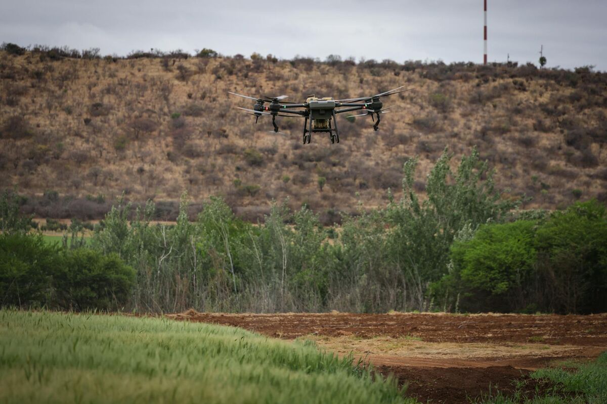
Photogrammetry is the process of measuring the physical world from overlapping photographs. A drone flies a structured pattern over a site, capturing hundreds or thousands of images with significant overlap. Photogrammetry software analyzes shared features across those images — a process called structure from motion — to reconstruct precise 3D geometry, surface textures, and georeferenced coordinates. The output is a spatial dataset, not just a gallery of pictures.
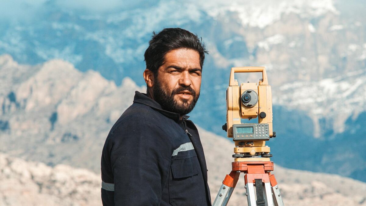
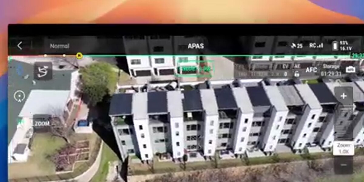
Modern aerial photogrammetry is almost entirely drone-based. A pilot operating under FAA Part 107 certification files the necessary authorizations and flies a planned grid or orbit pattern at a consistent altitude. The camera captures images at regular intervals timed to the ground sampling distance needed for the target accuracy class. The data then moves to photogrammetry software for processing — either on a desktop workstation or, increasingly, in the cloud.
The American Society for Photogrammetry and Remote Sensing (ASPRS) has published positional accuracy standards that define accuracy classes for digital geospatial data. Reputable providers reference these standards when describing what their deliverables can and cannot support — engineering-grade site surveys, for example, require tighter tolerances than a general progress photo mission.
Drone photogrammetry sits within the broader category of drone services that agencies and businesses are adopting for inspection, documentation, and spatial analysis. When evaluating a provider, start by asking which processing platform they use, because software choice is the single biggest determinant of accuracy, turnaround, and format flexibility.
What accuracy standards should a photogrammetry service meet?
Accuracy in drone photogrammetry is expressed as root mean square error (RMSE) against independently surveyed ground control points (GCPs). Entry-level service without GCPs typically lands in the 2–6 inch horizontal range. Providers using RTK or PPK GPS drones with verified GCPs can reach sub-inch accuracy, meeting requirements for engineering, insurance, and legal applications. Always ask for an accuracy report that cites RMSE values, not just advertised specifications.
Ground sampling distance (GSD) is the primary lever pilots control during flight: a lower flight altitude shrinks the GSD and increases potential accuracy, but also increases mission time and the number of images to process. For most commercial photogrammetry work, a GSD of 1–3 cm per pixel is standard. The USGS 3D Elevation Program provides reference benchmarks for point cloud density and vertical accuracy that deliverables should meet when supplying data to government clients.
One practical distinction separates providers: whether their accuracy claim is based on relative accuracy (measurements within the model are internally consistent) or absolute accuracy (the model ties correctly to real-world coordinates). Absolute accuracy is required whenever data will be overlaid with GIS layers, submitted as a legal exhibit, or used to calculate earthwork volumes. When comparing providers, ask how many GCPs were used and whether an independent checkshot verification was performed.

What deliverables should a photogrammetry provider supply?
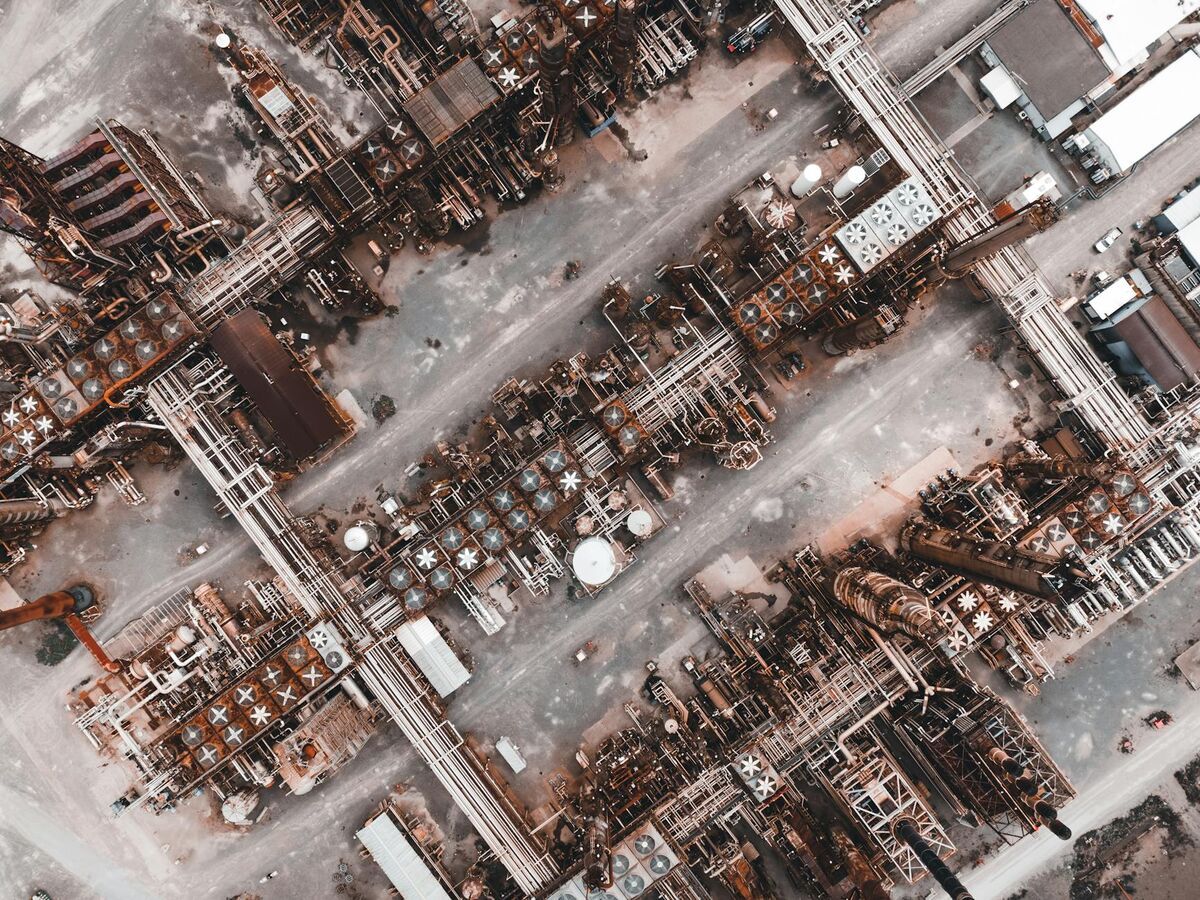
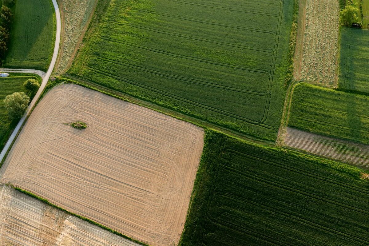
A complete drone photogrammetry engagement should produce at minimum four deliverable types: an orthomosaic (a georeferenced, stitched 2D aerial map), a 3D point cloud (typically in LAZ or LAS format), a textured 3D mesh (GLB or OBJ), and a digital elevation model or digital surface model in GeoTIFF format. Providers who return only raw imagery or video have not completed the photogrammetry workflow.
Orthomosaics are often the entry point for clients unfamiliar with 3D data — they look like a satellite image but are built from the drone's overlapping frames, making them far more current and higher-resolution than any satellite source. Point clouds give surveyors and engineers the raw spatial geometry they need to import into CAD or GIS. Textured meshes are valuable for presentations, virtual walkthroughs, and legal exhibits because non-technical stakeholders can navigate them intuitively.
Format compatibility matters at delivery. Ask whether exports will open in your existing software stack. Common points of friction include proprietary viewers that require a software subscription to share models with clients, and point clouds delivered in formats incompatible with industry-standard tools like ArcGIS or AutoCAD Civil 3D. The best providers export to open formats and offer a web-hosted viewer as a fallback.
SkyeBrowse, for instance, exports LAZ point clouds, GLB 3D meshes, and GeoTIFF orthomosaics alongside an in-browser viewer at app.skyebrowse.com. Service providers who build their workflow on platforms like SkyeBrowse can hand clients a shareable link alongside downloadable files, which significantly reduces the friction of deliverable review.
How important is turnaround speed, and what drives it?
Turnaround time varies by an order of magnitude depending on the processing method a provider uses. Desktop photogrammetry pipelines processing a large site may require 6–24 hours of compute time after the flight. Cloud-based platforms can return a completed 3D model in minutes because processing runs on scalable server infrastructure rather than a single workstation. For time-sensitive applications — active construction sites, insurance claims, incident scenes — processing speed is as important as accuracy.
The key question to ask any provider is: when does the clock start and when do I receive the deliverable? Some providers quote "24-hour turnaround" that begins after the data has been uploaded and queued — which may add a day or more to the real-world timeline. Cloud-native platforms have largely eliminated the upload-and-wait bottleneck by processing in parallel with the upload itself.
Speed also varies with imagery volume. A standard residential inspection flight processing 200–300 images is far faster than a 500-acre construction site with 4,000 frames. For buyers who need regular site updates, a provider's ability to deliver consistent, dated models on a repeatable schedule matters more than peak speed on a single delivery. Ask whether historical models are stored and accessible through the same viewer interface.
Understanding the full toolchain behind a provider's drone mapping software helps you evaluate whether their speed claims hold at the scale of your project.
What compliance and data security requirements matter?
For government, public safety, and insurance clients, the hosting environment and data handling practices of a provider's photogrammetry platform are non-negotiable. Key questions include: where is the data stored (domestic vs. overseas infrastructure), what encryption standards apply at rest and in transit, and whether the platform holds any formal compliance authorizations such as FedRAMP Moderate. Providers who cannot answer these questions clearly should be disqualified for regulated-industry work.
FAA Part 107 certification is a baseline requirement for any commercial drone operator in the United States. Confirm that every pilot on a provider's roster holds a current Remote Pilot Certificate and that the provider carries both hull and liability insurance for unmanned aircraft operations. The FAA Part 107 framework also governs waiver requirements for flights in controlled airspace, night operations, and flights over people — all of which come up regularly in construction and public safety contexts.
Beyond pilot credentials, data security deserves separate attention. The imagery and 3D models produced by photogrammetry flights often contain sensitive site information — critical infrastructure layouts, evidence scenes, proprietary construction designs. A provider whose software platform stores data on consumer cloud infrastructure or overseas servers may expose clients to avoidable risk. NIST guidelines on cloud security offer a framework for evaluating provider hosting claims.
SkyeBrowse's platform runs on AWS GovCloud (US) with FedRAMP Moderate authorization, which makes it a natural fit for public safety agencies and government contractors who need a processing partner they can cite in data handling agreements. Service providers who operate within SkyeBrowse's ecosystem can pass those compliance credentials on to their end clients — a meaningful differentiator when competing for government or law enforcement contracts.
FAQ
What is photogrammetry?
Photogrammetry is the science of extracting precise measurements and 3D geometry from overlapping photographs or video frames. Drones equipped with cameras fly a site in a systematic pattern; photogrammetry software then stitches the imagery into georeferenced 3D models, orthomosaic maps, and point clouds. The same principles that once required film cameras and specialized lab equipment now run in the cloud in minutes.
How accurate are drone photogrammetry services?
Accuracy depends on ground sampling distance, the use of ground control points (GCPs), and the photogrammetry software used for processing. Entry-level drone photogrammetry typically achieves 2–6 inch horizontal accuracy. High-end processing pipelines with RTK GPS and GCPs can reach sub-inch accuracy, suitable for legal, engineering, and forensic use. The ASPRS Positional Accuracy Standards provide a framework for verifying and communicating spatial accuracy in deliverables.
What deliverables should I expect from a photogrammetry service?
Standard deliverables include an orthomosaic (a georeferenced 2D aerial map stitched from drone imagery), a 3D point cloud (LAZ or LAS format), a textured 3D mesh (GLB or OBJ), and a digital elevation model (GeoTIFF). Some providers also supply annotated PDF reports, measurement exports, or web-hosted model viewers that stakeholders can access without desktop software. Ask whether models are hosted in a shareable viewer or delivered as download-only files.
What software do professional photogrammetry service providers use?
Professional providers use a range of photogrammetry software platforms, from desktop applications to cloud-native systems. Cloud platforms have largely replaced desktop pipelines for time-sensitive work because they eliminate the processing bottleneck and let pilots upload directly from the field. SkyeBrowse is used by more than 1,200 agencies and commercial operators worldwide, offering sub-inch accuracy at the Premium tier (0.25 inch) and Premium Advanced tier (0.1 inch), with processing that returns completed models well within the timeframe most clients require. Learn more about how providers evaluate platforms in the drone mapping software guide.