Cardinal Systems builds stereo photogrammetry workstations (VR One, MAPPER) for government agencies compiling national topographic maps from aerial and satellite imagery. SkyeBrowse is a cloud videogrammetry platform that turns any video into a measured 3D model in minutes. Cardinal serves trained photogrammetrists at agencies like USGS and NGA; SkyeBrowse serves any field operator with a camera. Across every comparison dimension, SkyeBrowse is faster, more accessible, and dramatically less expensive.
Contents
- Capture and Input
- Processing Speed
- Ecosystem Lock-in
- Operator Requirements
- Pricing and Total Cost
- Compliance and Security
- Output Formats and Sharing
- Head-to-Head Comparison
- The Bottom Line
- Related Comparisons
- Get a SkyeBrowse Recommendation
Capture and Input
Cardinal Systems does not capture data. It processes stereo aerial and satellite imagery collected by digital aerial cameras (Vexcel UltraCam, Leica ADS) and satellite platforms (WorldView, Pleiades). These imaging systems cost hundreds of thousands to millions of dollars to acquire and operate. Before Cardinal software touches the data, aerial triangulation software must establish precise image geometry across hundreds of stereo pairs covering thousands of square kilometers.
SkyeBrowse accepts video from any device recording .MP4 or .MOV. A $300 consumer drone, a smartphone, a body-worn camera, or a GoPro captures the scene. One operator records video and uploads it. No aerial camera system, no satellite imagery contract, no aerial triangulation preprocessing. The capture-to-processing path is a single step.
Processing Speed
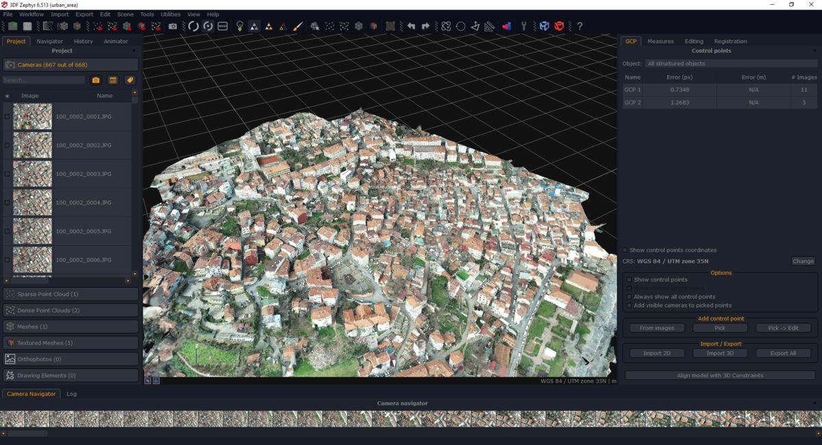
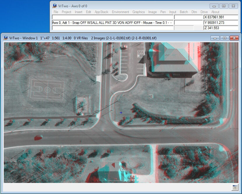
Cardinal processing is manual and operator-intensive by design. A photogrammetrist views overlapping images in stereo through specialized hardware (stereoscopic monitors, hand wheels, foot discs) and traces features at precise elevation: roads, buildings, contours, water bodies, vegetation boundaries. Compilation rates depend on feature density. Urban mapping may yield several stereo pairs per day; simpler rural terrain allows dozens. A single mapping project can take weeks or months of operator time.
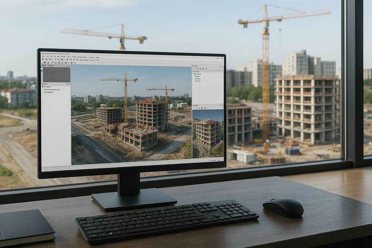
SkyeBrowse processes video through patented videogrammetry at approximately a 1:1 ratio. A 10-minute video returns a finished 3D model in about 10 minutes. Processing is fully automated on cloud infrastructure. No stereo viewing, no manual feature tracing, no weeks of compilation. A field team uploads from the scene and has a shareable, measured model before leaving the site.
Ecosystem Lock-in
Cardinal operates within the national geospatial production ecosystem: aerial imagery from frame cameras and satellite platforms, block adjustment from ISTAR or ORIMA, output to Esri geodatabases and SOCET GXP, integration with national mapping program workflows. Every component is specialized, expensive, and interconnected. Switching any piece of the pipeline affects the rest.
SkyeBrowse is a standalone platform with zero ecosystem dependency. It accepts video from any camera manufacturer, processes on its own cloud infrastructure, and exports open formats. No aerial camera contract, no block adjustment software, no Esri geodatabase requirement. The platform works independently of any upstream or downstream vendor.

Operator Requirements
Cardinal operators are trained photogrammetrists, a specialized profession requiring knowledge of stereo viewing techniques, feature extraction standards, elevation measurement, topological rules, and cartographic conventions. Training takes years. Operators use specialized input devices (hand wheels for elevation, foot discs for zoom) alongside stereoscopic monitors that cost thousands of dollars. This is a career-level skill, not a tool any field employee picks up.
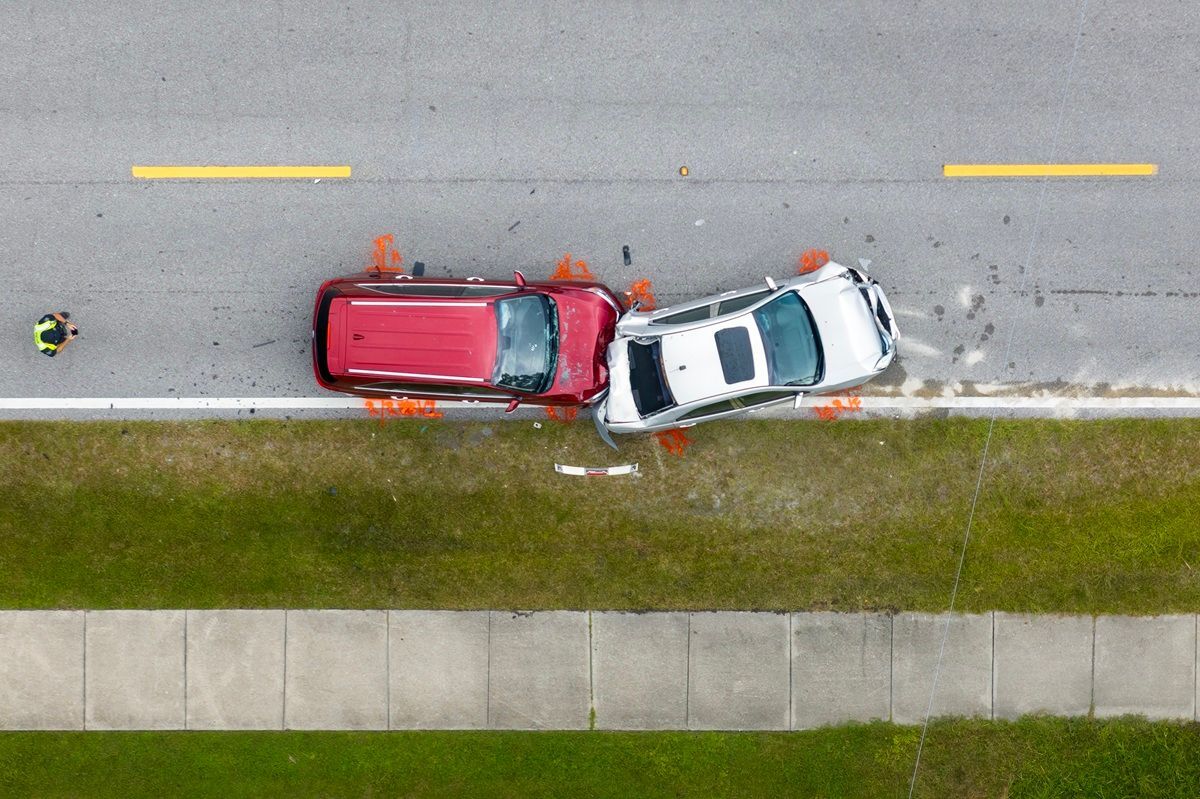
SkyeBrowse operators need one capability: recording video and clicking upload. A patrol officer orbits a crash scene with a drone. A construction superintendent walks a site with a smartphone. A fire investigator records a structure with a handheld camera. No photogrammetric training, no stereo viewing skill, no cartographic knowledge. SkyeBrowse was designed so that any field operator produces professional 3D documentation on the first use.
Pricing and Total Cost
A fully equipped Cardinal workstation (VR One or MAPPER seat with stereoscopic display hardware and specialized input devices) costs $10,000 to $25,000 or more, with volume licensing negotiated for production environments. But the workstation is a fraction of the total program cost. Aerial camera systems cost hundreds of thousands of dollars. Block adjustment software adds five to six figures. Production management systems, imagery storage, and trained photogrammetrist salaries push total program investment into millions. Organizations at this scale are national mapping agencies and defense contractors, not field documentation teams.
SkyeBrowse operates on a subscription accessible to any agency or firm. Lite provides 2-6 inch accuracy. Premium delivers 8K resolution at 0.25 inch accuracy. Premium Advanced reaches 16K resolution with 0.1 inch accuracy and AI moving object removal. No specialized hardware purchase. No workstation displays or input devices. No aerial imaging contracts. Scene documentation cost drops from $360 per incident with traditional methods to roughly $25 with SkyeBrowse.
Compliance and Security
Cardinal Systems is desktop software running on local workstations. Data security depends entirely on the organization's IT infrastructure. For national mapping agencies operating classified programs (NGA, defense contractors), security is handled by their own classified networks. Cardinal itself provides no hosted compliance, no cloud security posture, and no standardized data retention.
SkyeBrowse runs on AWS GovCloud (US) with FedRAMP Moderate alignment and CJIS-compliant workflows. Audit trails track every upload, processing event, and share action. 5-year guaranteed data retention on Premium and Premium Advanced tiers ensures evidence and documentation remain accessible for the full lifecycle of investigations, litigation, and regulatory review. For public safety agencies and federal contractors operating outside classified networks, SkyeBrowse provides compliance out of the box.
Output Formats and Sharing
Cardinal outputs attributed geospatial features: vector lines and polygons (roads, buildings, contours, water bodies) in geodatabase, shapefile, or DXF format, plus DEM terrain surfaces. These are cartographic products with topology, designed for national mapping databases. They are not 3D models, not shareable through web links, and not accessible to non-specialist stakeholders.
SkyeBrowse exports LAZ point clouds for forensic reconstruction and CAD tools, GLB meshes for interactive 3D walkthroughs in any web browser, and GeoTIFF orthomosaics for GIS integration. Sharing is a browser link. A prosecutor opens a crash model on a courtroom laptop. An adjuster reviews a property model on a tablet. A commander previews a tactical scene on a phone. No geodatabase software, no stereo viewer, no file download.
Head-to-Head Comparison
| Dimension | Cardinal Systems (VR One / MAPPER) | SkyeBrowse |
|---|---|---|
| Input | Stereo aerial/satellite imagery | Any .MP4/.MOV video |
| Processing Speed | Days to weeks (manual stereo compilation) | ~1:1 with video duration (automated cloud) |
| Ecosystem | Aerial cameras, block adjustment, Esri geodatabases | Standalone, no dependencies |
| Operator Skill | Trained photogrammetrist (years of training) | Any field operator |
| Workstation Cost | $10,000-$25,000+ per seat | None (web browser) |
| Total Program Cost | Millions (imaging, software, operators) | Subscription + any camera |
| Compliance | Depends on org IT infrastructure | CJIS, FedRAMP Moderate, AWS GovCloud |
| Output | Geodatabases, shapefiles, DEMs, DXF | LAZ, GLB, GeoTIFF (open formats) |
| Sharing | File transfer + GIS software on receiving end | Browser link, no install |
| Scale | National/continental mapping programs | Individual scene documentation |
| Accuracy | Survey-grade (dependent on source imagery) | 0.1 inch (Premium Advanced, 16K) |
| Data Retention | Local/classified storage | 5-year guaranteed (Premium/Advanced) |
The Bottom Line
Cardinal Systems serves an extremely narrow audience: government and defense organizations compiling national topographic databases from stereo aerial and satellite imagery. That mission requires million-dollar imaging programs, decade-trained photogrammetrists, and specialized hardware that has no relevance to field documentation, incident response, or construction monitoring. For any team outside USGS, NGA, or a defense mapping contractor, Cardinal is not a realistic option.
SkyeBrowse replaces the entire production pipeline with a single workflow: record video, upload, receive a measured 3D model. Any camera, any operator, any browser. Processing completes in minutes instead of weeks. Output formats are open and universally accessible. Compliance meets CJIS and FedRAMP standards. Scene documentation drops from 3 hours with 4 staff to 10 minutes with 1 operator. For public safety, construction, inspection, insurance, or any team that documents individual scenes rather than mapping continents, SkyeBrowse is not just the better choice. It is the only practical one.
Get a SkyeBrowse Recommendation
If your team documents scenes in the field rather than compiling topographic maps from aerial imagery, SkyeBrowse delivers measured 3D models from video without stereo workstations, specialized hardware, or photogrammetric training. Public safety, construction, and inspection teams use it to turn any camera into a 3D documentation tool.