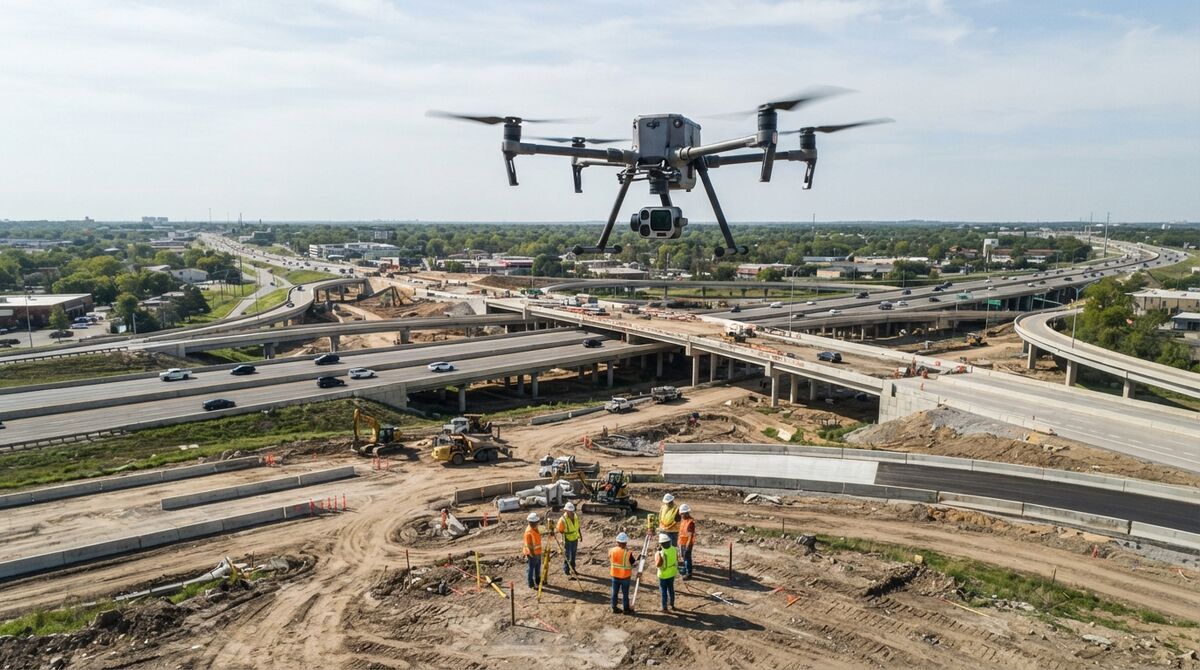
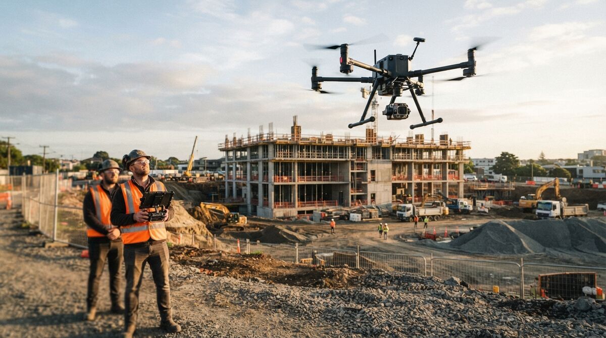
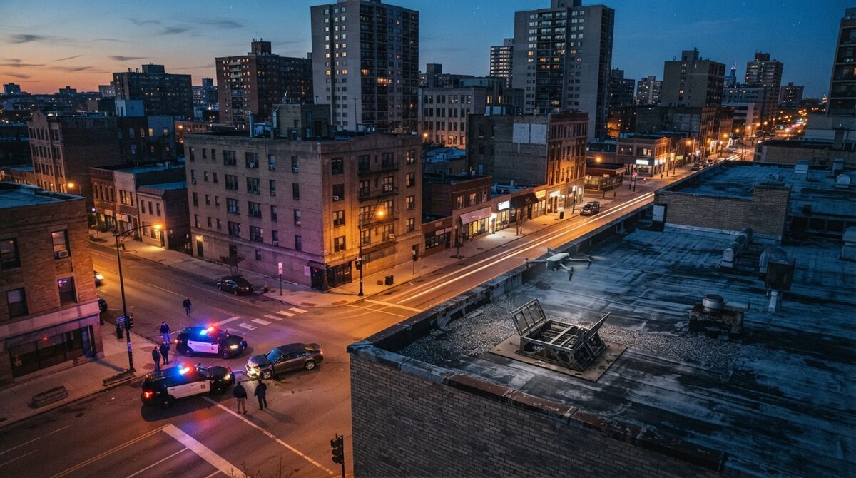
DJI Matrice 4TD mapping starts from a short answer: the M4TD sits on the SkyeBrowse Flight App fully supported list, so it can fly automated capture patterns and its video becomes a measurable 3D model in the browser. Videogrammetry builds that model from continuous video instead of thousands of still photos. This guide covers the app and controller, the M4TD versus the Matrice 4T, wide and thermal GSD by altitude, capture settings, and public safety use.
Key Takeaways
- The DJI M4TD is fully supported by the SkyeBrowse Flight App for automated orbit and WideBrowse grid missions, with the DJI RC Pro remote listed as the required controller.
- DJI rates the 4TD at 54 minutes of flight, IP55 protection and -20 to 50 °C operation, against 49 minutes and no standard IP rating for the 4T.
- Its 48 MP wide camera recording 4K video resolves about 2.2 cm per pixel at 60 m, and the 640 x 512 thermal camera lands near 6.1 cm at the same height.
- Wide or thermal video becomes a 3D model, orthomosaic and point cloud in the cloud, with no workstation to buy.
- Agencies can try Public Safety & Enterprise free for 14 days through the Pilot Program.
Contents
- Can the DJI Matrice 4TD do drone mapping?
- Which app supports the DJI M4TD for 3D mapping?
- How is the Matrice 4TD different from the Matrice 4T for mapping?
- What GSD can the Matrice 4TD wide camera reach?
- What capture settings work for Matrice 4TD video-to-3D?
- What do public safety and DFR programs map with the M4TD?
- What does it cost to turn M4TD video into a 3D model?
- FAQ
Can the DJI Matrice 4TD do drone mapping?
Yes. The Matrice 4TD records 4K video from a 48 MP wide camera and carries RTK positioning on the airframe. SkyeBrowse lists the M4TD as fully supported in its Flight App, so the aircraft flies automated capture patterns and each clip becomes a measurable model.
The 4TD is the thermal member of DJI's Matrice 4D series, the dock-deployable branch of the Matrice 4 family. DJI pairs the 4D series with DJI Dock 3, its automated drone-in-a-box station, and publishes the aircraft figures on the Dock 3 specifications page. One gimbal holds a 24 mm equivalent wide camera, 70 mm and 168 mm tele cameras, a 640 x 512 thermal imager and a laser rangefinder.
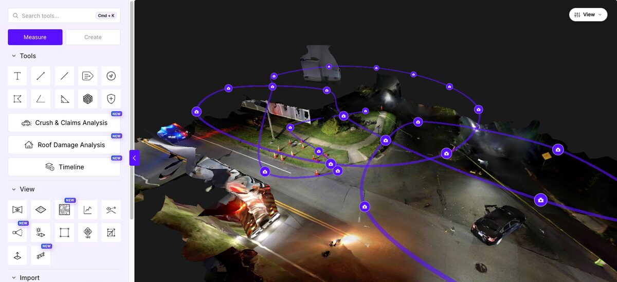
The wide camera carries color models, and the thermal camera takes over when heat is the evidence. One upload yields the 3D model, a point cloud and an orthomosaic, a top-down image corrected so distances read true across the map.
Which app supports the DJI M4TD for 3D mapping?
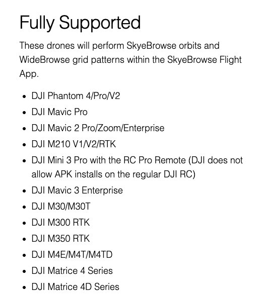
The SkyeBrowse Flight App supports it. Our supported drones list places the DJI M4TD under Fully Supported, with the DJI RC Pro remote listed as the required controller. That opens both automated modes: a two-orbit SkyeBrowse pass for scenes under an acre and WideBrowse grids for larger areas.
WideBrowse adds Cross Grids, a perpendicular second pass for lateral detail, and Side Scan, an orbital pass for facades. On the RC Pro the app also runs Crowd Counter, which counts the people in a photo within seconds (unlimited on Public Safety & Enterprise, 3 free counts a day on other plans).
The controller has no app store, so the Android build is sideloaded from the SkyeBrowse download page; confirm your pairing on the supported drones list first. Flying in DJI's own app instead? Any M4TD clip can go through Universal Upload at app.skyebrowse.com, and the matching .SRT subtitle file georeferences the model. Our drone mapping app comparison shows how that stacks up against photo-based tools.
How is the Matrice 4TD different from the Matrice 4T for mapping?
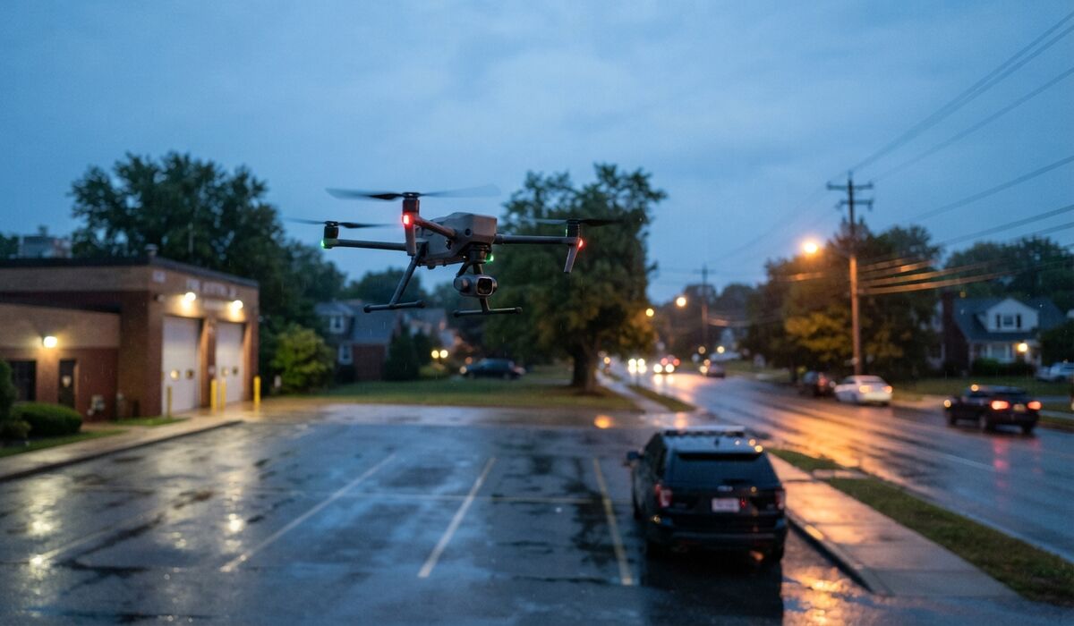
The cameras match: both aircraft carry the same 48 MP wide camera, tele cameras, 640 x 512 thermal imager and 4K video. The 4TD is the heavier, weather-sealed variant built for dock deployment. It adds an IP55 rating, a wider operating temperature range and 54 minutes of rated flight against the 4T's 49.
Here's the side-by-side, taken from DJI's Dock 3 and Matrice 4D specifications and the Matrice 4 Series specifications.
| Spec | Matrice 4TD | Matrice 4T |
|---|---|---|
| Weight | 1,850 g | about 1.2 kg |
| Max flight time | 54 min | 49 min |
| Max hover time | 47 min | 42 min |
| Ingress protection | IP55 | No standard rating |
| Operating temperature | -20 to 50 °C | -10 to 40 °C |
| Wide camera | 48 MP, 1/1.3-inch, 24 mm eq., f/1.7 | Same |
| Thermal camera | 640 x 512 (1280 x 1024 enhanced mode) | Same |
| Video | 4K 3840 x 2160 at 30 fps | Same |
| Max wind resistance | 12 m/s | 12 m/s |
With identical imaging hardware, models from either aircraft should match at the same altitude and speed. The 4TD's edge is weather: rain, cold mornings and hot afternoons. For the 4E versus 4T camera choice, see our Matrice 4E and 4T mapping guide.
What GSD can the Matrice 4TD wide camera reach?
Ground sample distance, or GSD, is the real-world width one image pixel covers on the ground. Recording 4K video with the wide camera, the M4TD resolves about 1.1 cm per pixel at 30 m, 2.2 cm at 60 m and 4.5 cm at 120 m.
GSD equals sensor width times altitude, divided by focal length times image width in pixels. A 1/1.3-inch sensor is about 9.6 mm wide, and DJI's 24 mm equivalent lens is roughly 6.7 mm of actual focal length. At 60 m with 3,840-pixel 4K video: (9.6 × 6,000 cm) ÷ (6.7 × 3,840) ≈ 2.2 cm. The thermal column spreads DJI's 45° diagonal field of view across the 640 x 512 frame. Treat both as planning figures; our ground sample distance guide explains the method.
| Altitude above ground | Wide camera, 4K video | Thermal, 640 x 512 |
|---|---|---|
| 30 m (98 ft) | 1.1 cm/pixel | 3.0 cm/pixel |
| 40 m (131 ft) | 1.5 cm/pixel | 4.0 cm/pixel |
| 60 m (197 ft) | 2.2 cm/pixel | 6.1 cm/pixel |
| 90 m (295 ft) | 3.4 cm/pixel | 9.1 cm/pixel |
| 120 m (394 ft) | 4.5 cm/pixel | 12.1 cm/pixel |
The 120 m row stays under the 400 ft ceiling in the FAA's Part 107 rules. Videogrammetry accuracy scales with capture distance, so flying closer tightens a model: 8K processing on Commercial and Pro holds measurements to 0.5 inch, and 16K Ultra on Public Safety & Enterprise gets to 0.1 inch. Certified absolute coordinates come from RTK or ground control checked against the ASPRS positional accuracy standards.
What capture settings work for Matrice 4TD video-to-3D?
Record 4K video, lock the zoom on the wide camera, and fix exposure and white balance before takeoff. Use an orbit for a single scene under an acre and a WideBrowse grid for anything larger, adding Cross Grids for buildings. Pick altitude from the GSD table and keep the speed steady.
SkyeBrowse recommends 4K; 1080p works and processes faster at a lower model resolution. A locked zoom keeps focal length constant, and fixed exposure stops brightness jumping when the aircraft turns toward a light.
Watch speed against shutter. At 60 m and 8 m/s, a 1/500 s shutter lets the aircraft move 1.6 cm per exposure, inside the 2.2 cm pixel. DJI lists only an electronic shutter on the 4TD, so slow down when flying low.
On manual flights, move around the subject instead of panning in place, keep 70 to 80 percent overlap between grid lines, and avoid long stretches of sky, glass or water. Turn on Video Subtitles in DJI Pilot 2's camera settings so each clip writes its .SRT file. Fly thermal passes lower to offset the coarser pixels.
What do public safety and DFR programs map with the M4TD?
The M4TD suits night crash scenes, search and rescue, fire scenes and pre-plans. Its thermal camera finds heat signatures, its wide camera captures the color geometry investigators measure, and IP55 sealing keeps it flying in rain.
Crash reconstruction. A short orbit reopens the road sooner and leaves a scene investigators can measure later, and DJI rates the 4TD wide camera's night scene mode up to ISO 409,600. The independent AirBorne Works study was itself a staged night crash: against a Leica BLK360 laser scan as ground truth, SkyeBrowse video models came closest on eight of nine measured lines, ahead of photo-based Pix4D Mapper and Leica BLK3D. That's laser-scanner-level accuracy from drone video.
Fire and search and rescue. Thermal video can become a 3D model, so a fire crew can review hot spots on a reconstructed structure. Other supported thermal airframes are covered in our Mavic 3T mapping and Matrice 30T mapping guides.
Drone as first responder. In DFR programs a drone reaches the call before officers do; our DFR 3D mapping guide shows how that capture feeds a 3D model. For heavier payloads see Matrice 400 mapping, and the mapper drone roundup compares the wider field.
What does it cost to turn M4TD video into a 3D model?
Uploading M4TD video and building models on Freemium costs nothing, though Freemium has no exports. Paid processing is per model: $24.99 for a Commercial model with 3 months of storage, $49.99 for a Pro model with a year of storage and exports, and $199 per model per year on Public Safety & Enterprise.
Freemium organizations that have never had a paid plan can get their first full Commercial model for $5, with every Pro tool and export and 90 days of storage. Annual billing drops Commercial to $19.99 and Pro to $39.99. Public Safety & Enterprise adds CJIS compliance, chain of custody, unlimited users and 5 years of storage, and agencies can try it free for 14 days through the Pilot Program. Details sit on the pricing page, and our drone mapping software page covers the full platform.
FAQ
Does SkyeBrowse support the DJI M4TD?
Yes. The DJI M4TD is on the SkyeBrowse Flight App fully supported list, with the DJI RC Pro remote listed as the required controller, and any M4TD video also works through Universal Upload. Confirm your pairing on the supported drones list.
What is the difference between the DJI Matrice 4T and 4TD?
The cameras are the same. The 4TD is DJI's dock-deployable variant, with IP55 sealing, a -20 to 50 °C operating range and 54 minutes of rated flight against the 4T's 49.
What altitude should I fly the Matrice 4TD for mapping?
Pick it from the detail you need: the wide camera's 4K video resolves about 1.1 cm per pixel at 30 m and 2.2 cm at 60 m. Stay under the FAA's 400 ft limit.
Can Matrice 4TD thermal video become a 3D model?
Yes. SkyeBrowse processes thermal video into 3D models. At 640 x 512 the thermal camera covers about 6.1 cm per pixel at 60 m, so fly it lower.