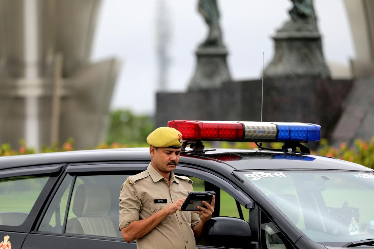
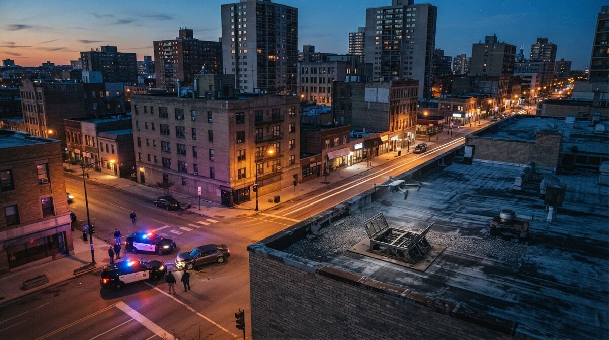
Public safety drone software is the set of applications a police, fire, EMS, search and rescue or emergency management drone program uses to fly, watch, document and store what its aircraft capture, and no single product does all of it. This guide breaks the stack into categories, including dispatch for drone as first responder (DFR) flights, and lists what each piece should do.
Key Takeaways
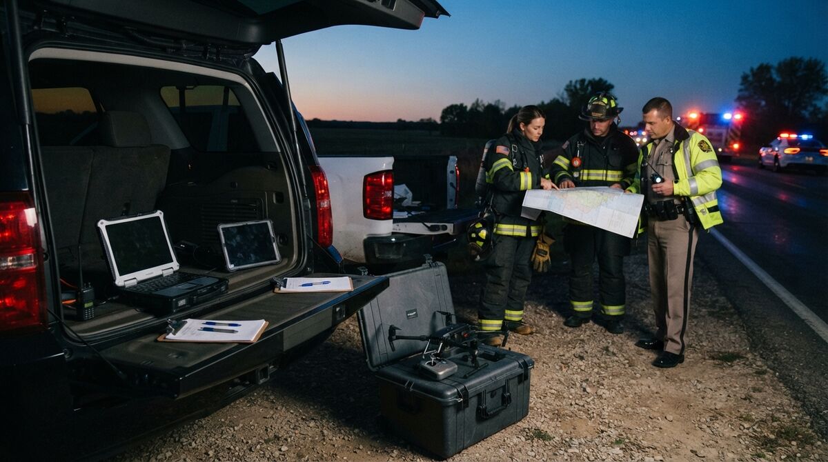
- Public safety drone software splits into six jobs: flight control, fleet management, live streaming, DFR dispatch, mapping and 3D documentation, and evidence management.
- Flight and streaming tools serve the live incident; mapping and evidence tools produce the lasting record for reports and court.
- Agency mapping software should return measurable 3D models in minutes and export to SAR, GIS and CAD tools.
- Require US hosting, CJIS support, chain of custody logs and agency data ownership.
- Per-model pricing with unlimited users lets one license serve the whole case team.
Contents
- What is public safety drone software?
- What software does a public safety drone program need?
- What should public safety mapping software do after the flight?
- Which software helps search and rescue and emergency management teams?
- How does drone software fit a DFR program?
- What security and CJIS requirements apply to public safety drone data?
- How do agencies connect drone software to their own systems?
- What does public safety drone software cost?
- FAQ
What is public safety drone software?
Public safety drone software is every application an agency uses around its unmanned aircraft. That covers apps that fly the drone, platforms that track pilots and aircraft, video streaming to command, DFR dispatch, mapping platforms that turn footage into measurable 3D models, and the systems that store results as evidence.
A sheriff's office may run patrol DFR flights, crash documentation and missing-person searches from one fleet, and a fire department may fly a structure fire at 2 a.m. and a pre-plan survey that afternoon. The FAA's public safety and government UAS guidance describes the two operating paths, Part 107 or a Certificate of Waiver or Authorization (COA), and every flight under either produces data software has to handle. For use cases by discipline, see SkyeBrowse for public safety.
What software does a public safety drone program need?
Most programs need six categories of software: flight control, fleet and compliance management, live video streaming, DFR dispatch, mapping and 3D documentation, and evidence management. Some products span two categories. Agencies should assign every requirement to one owner so pilots aren't logging the same flight in three places.
| Category | What it must do | Example tools (checked November 2026) |
|---|---|---|
| Flight control | Plan and fly missions, work offline | Manufacturer apps, automated capture apps such as the SkyeBrowse Flight App |
| Fleet and compliance | Pilot records, aircraft maintenance, flight logs, Part 107 and COA documentation | DroneSense, AirData |
| Live streaming | Push video to command staff, partner agencies and real-time crime centers | DroneSense, AirData |
| DFR dispatch | Launch from docks against 911 calls, hand video to responding units | Skydio DFR Command, DroneSense |
| Mapping and 3D documentation | Turn flights into measurable 3D models and 2D maps, diagrams and exports | SkyeBrowse and the platforms compared in our police and fire guides |
| Evidence management | Store, share and audit case files under retention rules | Axon Evidence.com and agency records systems |
Analytics usually lives inside these tools: fleet platforms report flight hours for budget reviews, and mapping platforms report measurements and volumes. Decide early which system is the record of truth for flight logs and for evidence.
What should public safety mapping software do after the flight?
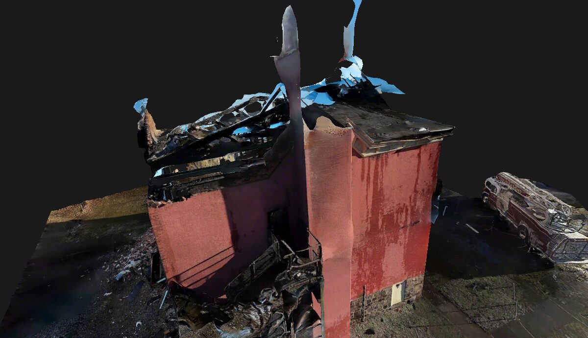
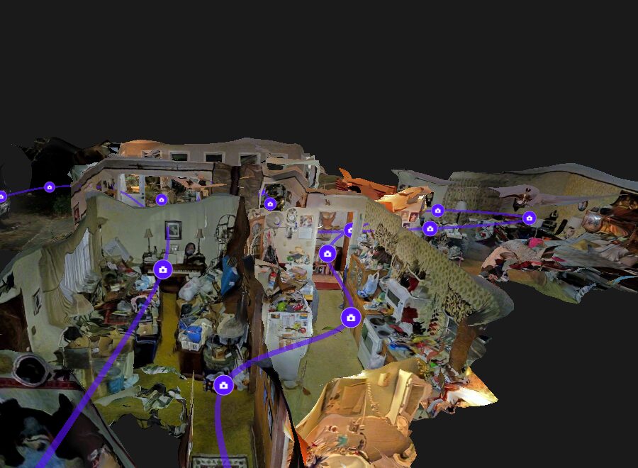
It should turn flight video into a measurable 3D model and 2D map within minutes. Investigators then need to measure and annotate the scene, place standard public-safety symbols, produce court-ready diagrams, and share the result with everyone on the case without buying extra seats.
SkyeBrowse handles this step with videogrammetry, which builds the 3D model from continuous video instead of thousands of still photos, so one orbit or a phone walkthrough is enough, and cloud processing usually finishes within minutes. Public Safety & Enterprise models get 16K Ultra processing for measurements down to 0.1 inch, and an independent accuracy study found laser-scanner-level results from SkyeBrowse video at a staged crash scene.
The same plan adds Public Safety Icons based on the all-hazards symbol library from the National Alliance for Public Safety GIS, an NFPA 704 hazard diamond for hazmat locations, Line of Sight, Factual Diagram PDFs, Sketch Drawing and Case Gallery. Middletown Police Department went from five officers spending about 2.5 hours per crash scene with laser scanners to one officer averaging 7.5 minutes (case study).
Compare platforms in the best 3D mapping software for police and best 3D mapping software for fire departments guides, or read the general drone mapping software guide.
Which software helps search and rescue and emergency management teams?
Drone SAR software has to get imagery into the mapping tools search managers already use. SkyeBrowse exports georeferenced 2D maps with presets for SARTopo and CalTopo, ArcGIS, Google Earth, AutoCAD and Global Mapper, and Rapid Upload returns quick models from scenes with poor GPS.
An orthomosaic is a single top-down map stitched from drone imagery, delivered as a GeoTIFF, an image file with map coordinates built in. When a user downloads it from a georeferenced SkyeBrowse model, the Export 2D map dialog asks where it's going and builds the format that tool expects, such as a transparent Web Mercator file for SARTopo / CalTopo or a KMZ overlay for Google Earth.
Rapid Upload processes part of the video on the user's device and sends a file about 10 times smaller, which helps when GPS is bad or a team needs a model fast, and the Flight App works offline. For event safety, Crowd Counter estimates crowd size from one image in under 10 seconds, free in the webapp Labs for signed-in users; in the Flight App on the DJI RC Pro, Public Safety & Enterprise gets unlimited counts and other plans 3 free per day.
After Hurricane Helene, the City of Aiken cut debris measurement time by 90% across 13,000 acres (case study). See also our search and rescue and disaster response guides.
How does drone software fit a DFR program?
In a drone as first responder program, docked or vehicle-launched drones reach 911 calls before ground units, and DFR dispatch software handles launch and live video. Mapping software adds the record afterward: a measurable 3D model of the scene from the same flight footage, ready for the report or the case file.
DFR footage reaches SkyeBrowse after the call through Universal Upload, which takes .MP4 or .MOV video from nearly any drone plus the .SRT telemetry file. SkyeBrowse has also announced a Paladin integration for near real-time 3D modeling in DFR, a specialized partner workflow to confirm for your setup. See the DFR 3D mapping guide, our first responder drone guide, and tactical planning software for teams that plan entries from 3D models.
What security and CJIS requirements apply to public safety drone data?
Drone footage and models from criminal investigations can count as criminal justice information, so the hosting has to meet the FBI CJIS Security Policy. Look for US government cloud hosting, CJIS support, audit logs of who viewed or shared each model, two-factor authentication and a contract stating the agency owns its data.
The FBI CJIS Security Policy sets those controls. SkyeBrowse is developed in the United States and runs all processing and storage on AWS GovCloud (US) at FedRAMP Impact Level 2. Full CJIS compliance and chain of custody are part of the Public Safety & Enterprise plan: the platform logs model access, user actions and sharing, offers 2FA, and leaves the agency as the owner of its data.
To file a model with Axon Evidence.com, download the model's exports, PDFs and videos from SkyeBrowse and upload them to Evidence.com; there's no direct connector, and chain of custody is maintained when files move this way. Compare hosting in the CJIS compliant mapping platform guide.
How do agencies connect drone software to their own systems?
Agencies with in-house developers or integrators can connect SkyeBrowse through its Public API. It creates models, uploads video and telemetry, reports processing status, downloads point clouds, maps and meshes, and publishes a viewer link that can be embedded in an agency portal, at $20 per model.
Downloads include LAZ point clouds, GeoTIFF maps and GLB meshes, and the share link carries an embed URL for the 3D viewer. Only the organization owner creates API keys (60 requests per minute), and each API model stays accessible for one year with exports included. On-premise deployment is available by custom request, scoped individually with SkyeBrowse.
What does public safety drone software cost?
Costs vary by category. Fleet, streaming and DFR platforms are sold by subscription and quote, so agencies should request current pricing directly. SkyeBrowse Public Safety & Enterprise costs $199 per model per year with unlimited users, every feature and 5-year model storage, and agencies can start with one model.
Example packages run from 5 models at $995 per year to 100 models at $19,900, and high-volume agencies can quote an Unlimited annual plan starting at $9,999 for their own cases. With no seat fees, one purchase covers pilots, investigators, command staff and prosecutors, and agencies can apply for the free 14-day Pilot Program first. See the pricing page, the public safety topic hub and our drone mapping software page.
FAQ
What software do public safety drone programs use?
Most run four to six tools: a flight control app, fleet management and flight logs, live video streaming, DFR dispatch if they fly from docks, a mapping platform for measurable 3D models and 2D maps, and an evidence management system.
Does drone mapping software need to be CJIS compliant?
If models document criminal investigations or other criminal justice information, CJIS obligations follow that data. SkyeBrowse hosts on AWS GovCloud (US) at FedRAMP Impact Level 2, with full CJIS compliance and chain of custody on Public Safety & Enterprise.
Can drone SAR software send maps to SARTopo or CalTopo?
Yes. On georeferenced SkyeBrowse models, the Export 2D map dialog has a SARTopo / CalTopo preset that teams add as a custom map sheet layer. Presets also cover ArcGIS, Google Earth, AutoCAD / Civil 3D and Global Mapper.
Does SkyeBrowse connect directly to Axon Evidence.com?
There's no direct connector. Agencies download the model's exports, PDFs and videos from SkyeBrowse and upload them to Evidence.com, and chain of custody is maintained when files move this way.
Can an agency try public safety drone software before buying?
Yes. Public safety and government agencies can apply for the Pilot Program, a free 14-day trial of Public Safety & Enterprise with unlimited practice models. Anyone can also open a free account at app.skyebrowse.com.