Transform Construction with SkyeBrowse
Create precise 2D maps and 3D models from drone video footage with one click. Save time, reduce costs, and increase accuracy in your construction projects.
Why SkyeBrowse for Construction?

Site Progress With Timelines
Fly the same site every week or month and put up to 10 surveys on one timeline. Each survey auto-aligns to your base survey, georeferenced sites sit on satellite imagery, and the Changes view colors what appeared, disappeared, or moved between two dates. Share a read-only link so owners and clients can scrub through the job themselves.
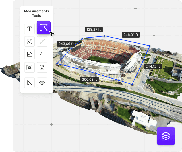
Cut/Fill and Cross-Sections
Import your design surface as LandXML, DXF, or a GeoTIFF elevation file and SkyeBrowse drapes a cut/fill heatmap on the scan with Cut, Fill, and Net volumes. Draw a centerline to cut stations along a road or haul road, flag grades over your thresholds, and export the sections to CSV, DXF, or PDF.
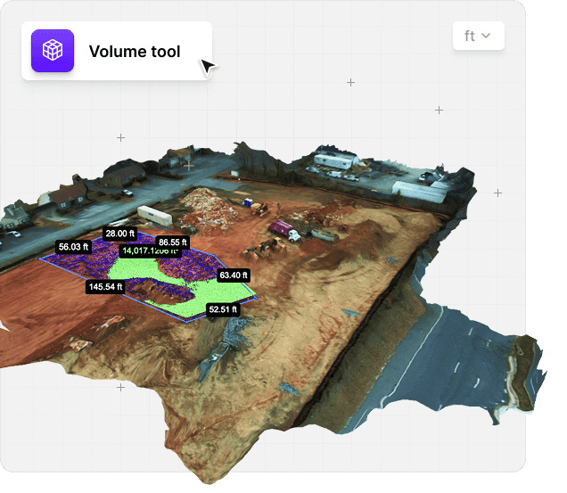
Stockpile Inventory
Measure every pile on the yard in one pass. Each pile gets a name, a material, and a density, so SkyeBrowse converts volume to weight, and the inventory report exports to CSV or PDF. Inside a Timeline it shows the change since your previous survey.
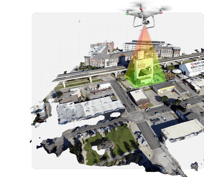
GCP Accuracy and Bare Earth
SkyeBrowse models need no ground control points, and when a client or spec asks for proof, import your surveyed GCPs or checkpoints for an RMSE, NSSDA 95%, and pass/fail accuracy report. Bare earth (DTM) strips buildings, vehicles, and vegetation so contours follow the real ground, with DTM GeoTIFF and classified LAS exports.

Transform Your Construction Operations
SkyeBrowse empowers construction with drone mapping technology that streamlines workflows and enhances decision-making.

Significantly Reduce Project Timelines Through Rapid Mapping

Substantial Cost Savings On Surveying And Documentation

Improved Client Communication With 3D Visualizations

Enhanced Construction Site Safety Monitoring

Accurate Material And Resource Planning

Professional Documentation For Stakeholders
Start Transforming Your Construction Projects Today
Join hundreds of companies using SkyeBrowse to create precise 3D models and streamline construction processes.


