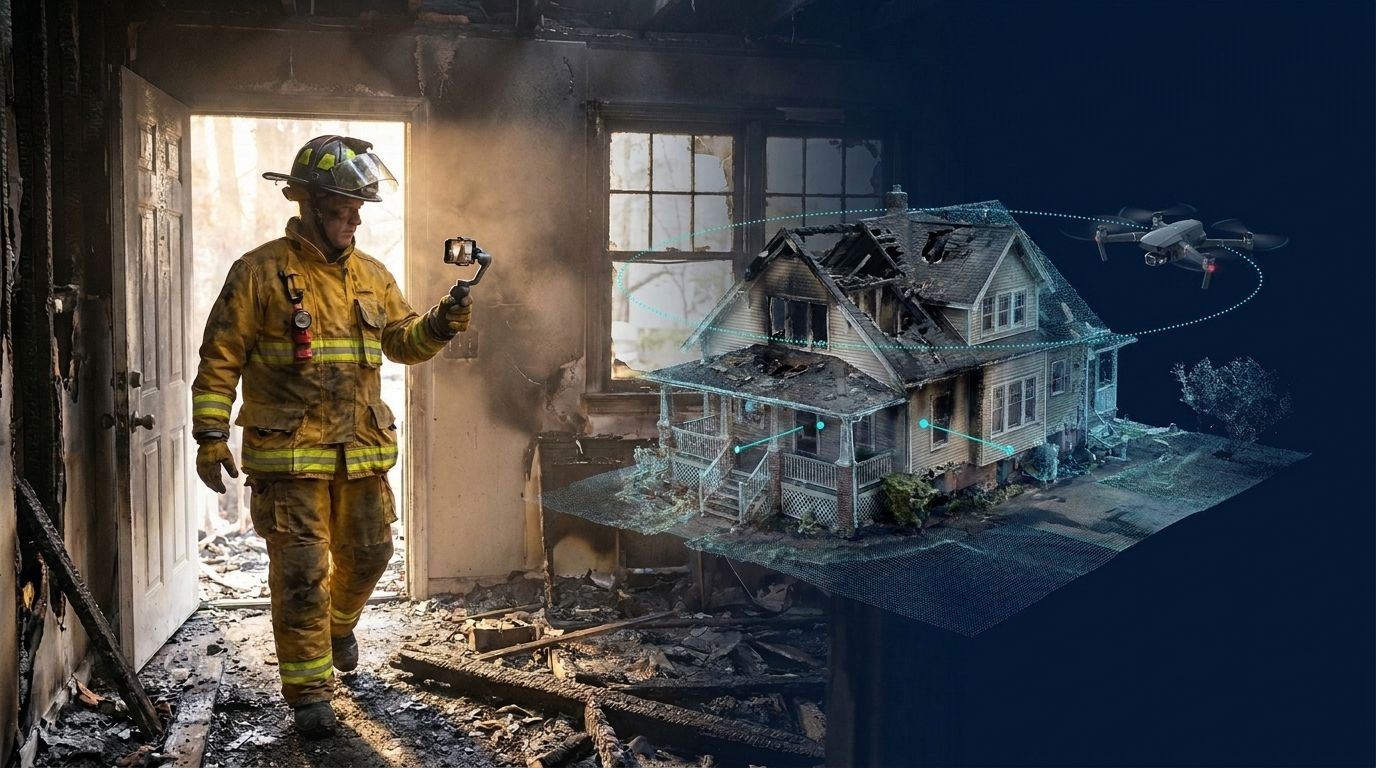
Pix4D is the photogrammetry tool many accident reconstruction and crime scene units started with. It is also the tool agencies ask us about most. Traffic units, sheriff's offices, and reconstruction consultants regularly tell us the same story: hundreds of photos per scene, long processing on a workstation, and a road that stays closed while the capture finishes.
This guide covers what changes when you move scene work from Pix4D to SkyeBrowse, how large scenes are captured with video, how accuracy compares, and how to run both side by side before you decide.
Contents
- Why Are Scene Teams Switching from Pix4D?
- How Does Accuracy Compare?
- Can SkyeBrowse Handle a Large Scene?
- What Carries Over from Pix4D?
- What Do You Gain by Switching?
- How Does Pricing Compare?
- How Do You Switch Without Disrupting Casework?
- FAQ
Why Are Scene Teams Switching from Pix4D?
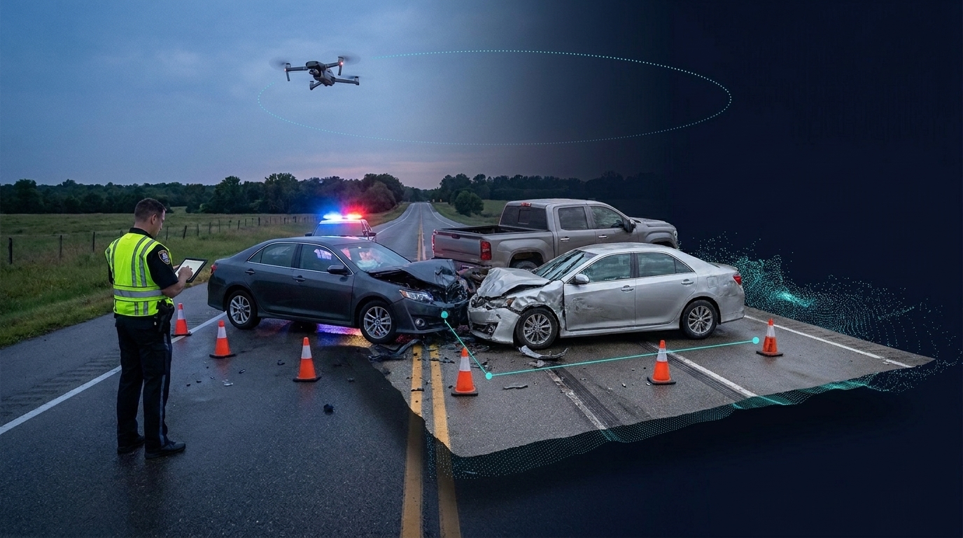
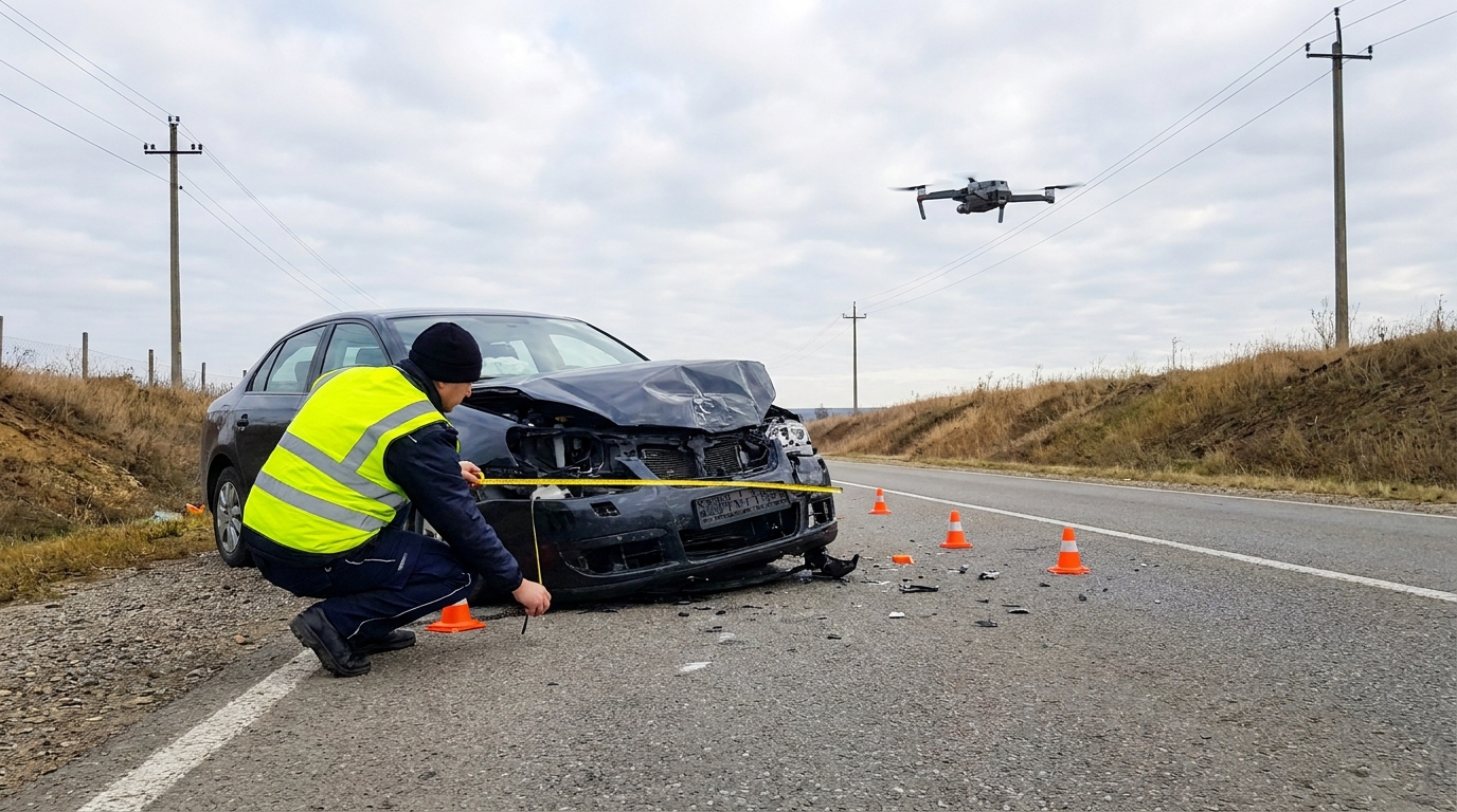
Capture time at the scene. A photogrammetry mission means planning overlap and capturing hundreds of still images. A sergeant evaluating SkyeBrowse told us his last accident scene took more than 800 images. With SkyeBrowse you record one continuous video: an automated orbit for a small scene, or an automated grid for a large one. Every frame of that video becomes data for the model.
Processing time after the scene. Pix4D processing runs on your images and your hardware. SkyeBrowse processes in the cloud at about one minute per minute of video, and most models are ready 5 to 10 minutes after upload. There is no workstation to buy, maintain, or wait on, and the model opens in any browser.
Scene tools on the same model. Reconstruction does not end at a point cloud. SkyeBrowse puts measurements, factual diagrams, Line of Sight, and Crush & Claims Analysis on the model your team just captured, so the deliverable for the case file comes out of the same viewer.
How Does Accuracy Compare?
SkyeBrowse videogrammetry is more accurate than photo-based photogrammetry. In an independent QC study by AirBorne Works, a staged night-time crash scene in Oceanside, California was captured with four platforms, using a Leica BLK360 laser scan as ground truth. Across nine measured lines, SkyeBrowse video models came closest to the laser scan on 8 of 9, ahead of photo-based Pix4D Mapper and Leica BLK3D. SkyeBrowse error was about 1 cm (0.39 inch) at all but one location. Read the full accuracy study.
Continuous video is why. It gives hundreds of overlapping frames of every object and complete coverage without gaps between photo stations.
- Public Safety & Enterprise: 0.1 inch accuracy, survey-grade and court-admissible without ground control points.
- Commercial and Pro: 0.5 inch accuracy with 8K processing.
- Verify against your own survey. On Pro models and Public Safety & Enterprise, the GCPs tool checks a model against surveyed points and produces an accuracy report with RMSE, NSSDA 95% accuracy, and a pass/fail result.
Can SkyeBrowse Handle a Large Scene?
Yes. Large scenes are captured with more video, organized the same way you would plan a photo mission.
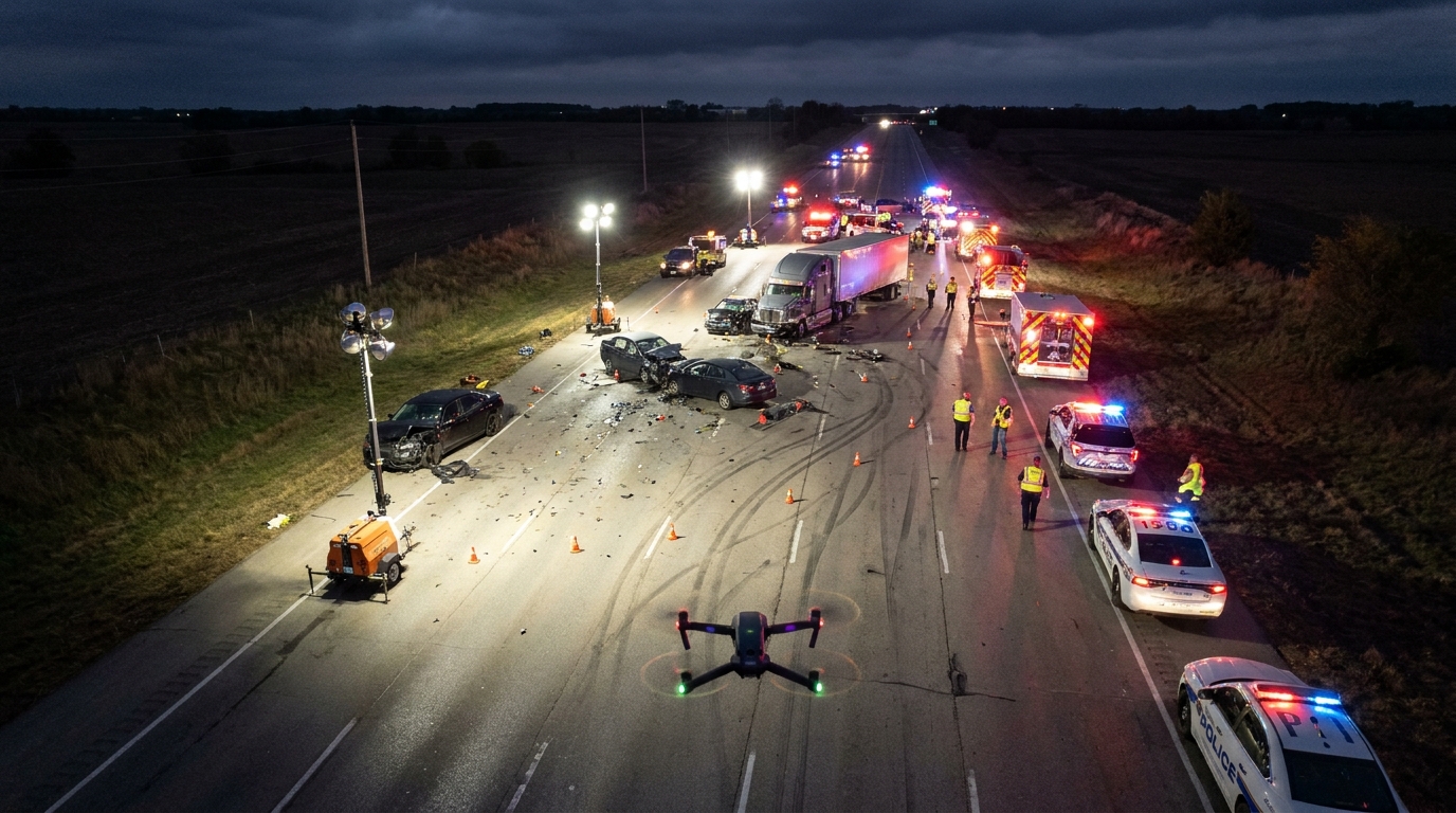
- WideBrowse grid flights. The SkyeBrowse Flight App flies an automated grid for areas over one acre on supported DJI and Autel drones. Cross Grids add a perpendicular pass for lateral detail, and Side Scan adds an orbital pass for facades and vertical surfaces.
- Multiple videos per model. Public Safety & Enterprise models take up to 10 videos of up to 100GB each. Commercial and Pro models take up to 3 videos of up to 10GB each.
- Any drone, flown manually. If your aircraft is not supported by the Flight App, fly it manually and upload the video through Universal Upload. Upload the drone's GPS subtitle file (.SRT for DJI, .ASS for Autel) to georeference the model.
- Rapid Upload sends extracted frames instead of the full video file for a fast model or a site with weak connectivity.
- Night scenes work when the scene is lit, which is the condition the AirBorne Works study tested.
SkyeBrowse builds models from video, so an existing photo set is not uploaded as a model source. Photos from the scene can be attached to the model as annotations in the Case Gallery.
What Carries Over from Pix4D?
| What your team uses in Pix4D | SkyeBrowse equivalent |
|---|---|
| Point clouds | LAZ point cloud export |
| Orthomosaics | Auto-generated orthomosaic on every plan, exported as GeoTIFF |
| 3D meshes | GLB, OBJ, and USDZ export |
| Terrain and contours | Topographic Map with bare earth (DTM), exported as a DTM GeoTIFF, ground-classified LAS, and Contours DXF (Pro models and Public Safety & Enterprise) |
| CAD linework handoff | AI Site Plan (CAD) exported as DXF or GeoJSON |
| GIS delivery | Export 2D map presets for ArcGIS Pro and ArcGIS Online, AutoCAD and Civil 3D, Google Earth, and SARTopo / CalTopo |
| Ground control check | GCPs accuracy report (Pro models and Public Safety & Enterprise) |
Your existing Pix4D deliverables stay valid. Meshes from past cases saved as GLB or STL can be imported as layers inside a SkyeBrowse model on Pro (3 layers) and Public Safety & Enterprise (5 layers).
What Do You Gain by Switching?
- Factual diagrams that turn measurements and annotations into a court-ready PDF, plus Sketch Drawing for clean north-up diagrams with scale bar and compass.
- Crush & Claims Analysis on Public Safety & Enterprise: vehicle identification, an undamaged reference model aligned to the damaged scan, crush measurements with CDC classification, and an impact scene replay.
- Line of Sight to show what was visible or hidden from a driver's or witness's position, with a two-observer comparison.
- Public safety icons from the NAPSG library placed directly on the model.
- Full CJIS compliance and chain of custody on AWS GovCloud (US), with logged model access, user actions, and sharing.
- Evidence handling with Axon: download the model's assets and upload them to Evidence.com, with chain of custody maintained.
- Unlimited users on Public Safety & Enterprise, so every investigator, supervisor, and prosecutor working the case can open the model in a browser.
- Walk Mode to walk the scene at eye level, the way a driver or witness saw it.
How Does Pricing Compare?
Pix4D sells software subscriptions; its pricing page lists PIX4Dmatic from USD 125 per month and PIX4Dmapper from USD 333 per month. SkyeBrowse prices per finished model, with processing, storage, and the viewer included.
| Plan | Price | Best for |
|---|---|---|
| Freemium | Free | Testing capture on your own scenes |
| Commercial model | $24.99 per model, 3 month storage | Short-term documentation |
| Pro model | $49.99 per model ($39.99 billed annually), 1 year storage, exports and AI tools | Consultants and commercial teams |
| Public Safety & Enterprise | $199 per model, billed annually, 5-year guaranteed storage | Agencies that need CJIS, chain of custody, and every scene tool |
Unused models roll over while your subscription stays active. Practice models are unlimited on active Commercial and Public Safety & Enterprise subscriptions, so your unit can train on real scenes without spending models. Full details are on the pricing page.
How Do You Switch Without Disrupting Casework?
- Apply for the Pilot Program. Public safety agencies get about two weeks of Public Safety & Enterprise access to capture real scenes side by side with Pix4D. Businesses and consultants can create a free account at app.skyebrowse.com, and eligible free accounts can process their first full Commercial model for $5.
- Upload a flight you already have. Any MP4 or MOV drone video from a past scene works through Universal Upload, so you can compare results before your next callout.
- Capture the next scene both ways. Compare time on scene, time to a finished model, and your measurements against tape or total station points.
- Check your drones on the supported drones list for the Flight App's automated orbit and grid missions.
- Move new scenes over first and keep past Pix4D cases in the format they were delivered in.
FAQ
Can I upload my Pix4D photo sets to SkyeBrowse? No. SkyeBrowse builds 3D models from video. Photos can be attached to a model as annotations, and meshes saved as GLB or STL can be imported as layers on Pro and Public Safety & Enterprise.
Is video really as accurate as photos? Yes. SkyeBrowse video is more accurate than photo-based photogrammetry. In the AirBorne Works study, SkyeBrowse came closest to the laser-scan ground truth on 8 of 9 measurements, ahead of Pix4D Mapper and Leica BLK3D.
Do I need ground control points? No. SkyeBrowse reaches survey-grade, court-admissible accuracy without GCPs. If your agency wants a documented check, the GCPs tool compares the model to your surveyed points.
Does SkyeBrowse need a processing workstation? No. Processing runs in the cloud and the viewer runs in the browser. Chrome is recommended.
Which drones work? Video from any drone works through Universal Upload. The SkyeBrowse Flight App automates orbit and grid flights on supported DJI and Autel aircraft.
Is SkyeBrowse CJIS compliant? Public Safety & Enterprise provides full CJIS compliance and chain of custody on AWS GovCloud (US), FedRAMP Impact Level 2.
For a feature-by-feature table, see SkyeBrowse vs Pix4D. To start a pilot or get a quote for your agency, contact us. Your next scene can be one video and a measurable model before the road reopens.