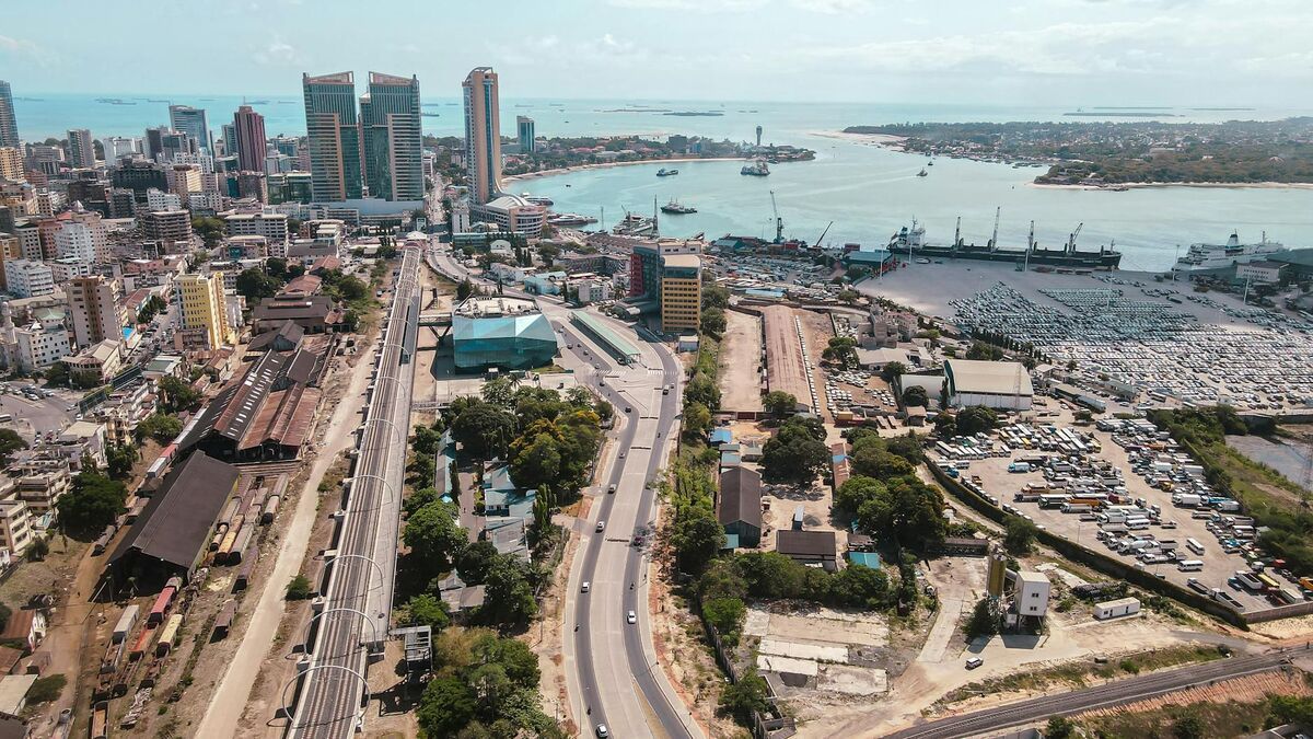
The New Jersey Turnpike and the Garden State Parkway together handle more than 700 million vehicle trips per year, making them two of the most heavily traveled toll roads in the United States. The Turnpike stretches 148 miles from the Delaware Memorial Bridge to the George Washington Bridge, while the Parkway runs 173 miles from Cape May to the New York state line. On a facility that collects tolls continuously and where freight delays ripple across the entire northeastern corridor, every minute of unnecessary lane closure carries a real economic cost — to commuters, to carriers, and to the authority itself.
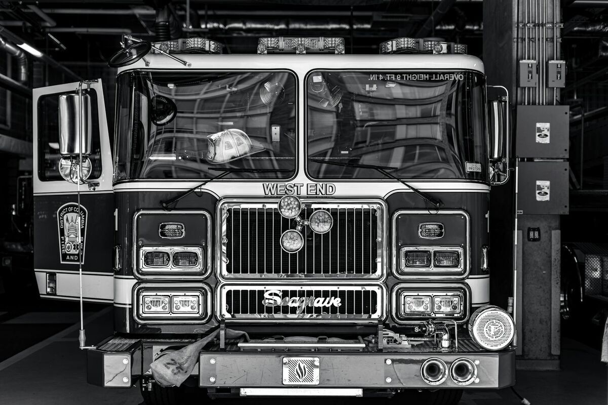
The New Jersey Turnpike Authority needed a documentation platform that matches the speed its corridors demand. SkyeBrowse's videogrammetry technology — which converts a single video capture into a forensic-grade 3D model — cuts crash documentation from hours to minutes on roadways where clearance time is measured in lost toll revenue and secondary collision risk.
Key Takeaways
- With more than 700 million annual vehicle trips across the Turnpike and Parkway combined, each additional minute of lane closure multiplies across the northeastern travel corridor in ways that legacy documentation timelines cannot absorb.
- The I-78 interchange near Newark Airport — one of the country's most geometrically demanding crash environments — is now documentable with a drone orbit instead of a multi-person measurement team spanning two levels of ramp structure.
- Premium Advanced captures skid marks, vehicle rest positions, and debris fields across multi-lane interchange footprints in one model, without the measurement drift that compounds in long total-station traverses.
- SkyeBrowse extends beyond incident response: stockpile volumes at salt and aggregate yards, bridge deck condition records, and toll plaza reconstruction progress are all captured through the same drone workflow.
- Crash evidence destined for New Jersey Superior Court — including commercial carrier litigation and wrongful death claims — moves through AWS GovCloud-hosted storage with forensic chain-of-custody documentation intact from scene capture through trial.
Contents
- Toll Revenue Protection and the Cost of Closure Time
- Incident Command Integration on High-Volume Corridors
- Interchange Geometry and Documentation Precision
- Toll Infrastructure Mapping and Asset Management
- NJ DOT Standards, Federal Reporting, and Litigation Defense
- FAQ
Toll Revenue Protection and the Cost of Closure Time
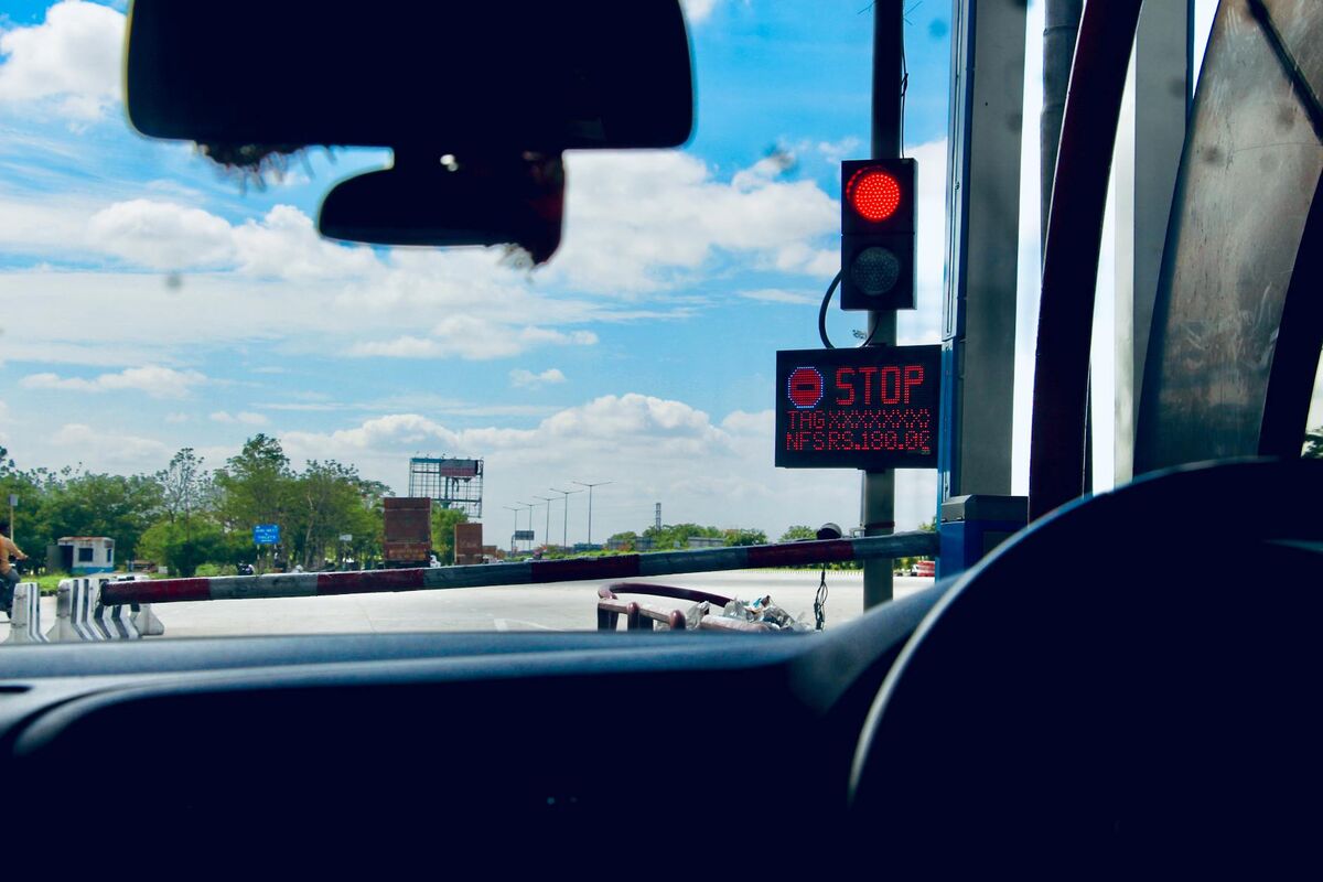
On facilities collecting tolls continuously across 321 miles of active roadway, clearance time is not an operational preference — it is a financial variable. SkyeBrowse cuts per-incident documentation from hours to approximately ten minutes, which means lanes reopen sooner, toll collection resumes faster, and the authority avoids the compounding revenue loss that extended closures generate on its busiest interchange sections.
The New Jersey Turnpike Authority operates under a financial model where toll revenue is continuous and closure time is a direct cost. A lane blocked for documentation on the I-95 corridor north of Newark during morning peak hours delays tens of thousands of vehicles, triggers secondary collisions upstream, and disrupts the freight schedules of carriers moving goods through the port complex. Extended documentation windows do not just inconvenience drivers — they reduce throughput on a corridor that runs on throughput.
Traditional crash reconstruction workflows that occupied multiple personnel for two to three hours were structurally incompatible with a traffic management plan that measures clearance targets in minutes. The Turnpike's traffic operations center monitors incident duration against federal performance benchmarks, and extended clearance times generate reportable deviations under the Federal Highway Administration's Traffic Incident Management program.
SkyeBrowse replaces that bottleneck. A drone orbit over the crash scene produces a measurable 3D model at a 1:1 processing ratio — one minute of video yields one minute of processing — so analysts have a complete spatial record of the scene while clearance operations are still underway. The authority's existing UAS fleet integrates directly through Universal Upload, which accepts any .MP4 or .MOV without new hardware procurement.
Incident Command Integration on High-Volume Corridors
Turnpike incident command operates under NJ DOT incident management standards that require rapid scene assessment, coordinated multi-agency response, and clearance within established time windows. SkyeBrowse's model is shareable across agencies — state police, county emergency response, NJDOT maintenance crews — within minutes of capture, giving every responder the same spatial picture without multiple site visits or delayed briefings.
Incidents on the Turnpike and Parkway routinely involve multiple responding agencies: New Jersey State Police, county sheriff's units, NJDOT maintenance crews, and in serious commercial vehicle events, federal safety investigators. Each agency needs a clear spatial picture of the scene for their own documentation, planning, and command functions. Historically, producing that shared picture required either multiple survey setups or passing paper sketches between agencies.
SkyeBrowse's cloud-sharing model changes that dynamic. Once the 3D model is processed, the operator can share access with state police investigators, NJDOT personnel, and county agencies simultaneously, each viewing the same model through a browser without specialized software. Incident commanders can review spatial relationships between vehicles, lane positions, and roadway geometry remotely — supporting command decisions without requiring additional personnel on an active highway.
The FHWA Traffic Incident Management program identifies rapid scene clearance and coordinated multi-agency communication as the primary strategies for reducing secondary crashes and corridor congestion on high-volume highways. SkyeBrowse supports both outcomes simultaneously: documentation finishes faster and every agency sees the same verified spatial record.
Interchange Geometry and Documentation Precision
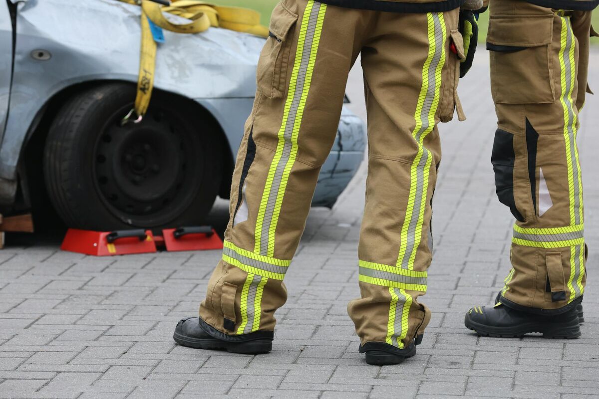
SkyeBrowse Premium Advanced captures the complex geometries of multi-level interchange crashes with precision that satisfies NJ DOT and federal highway reporting standards. Skid marks across multiple lanes, vehicle rest positions spanning ramp gore areas, and debris fields extending from mainline to shoulder are preserved in a single 3D model, allowing analysts to reconstruct trajectories without returning to the active roadway.
The Turnpike's interchange complexes present some of the most geometrically challenging crash scenes in the country. The interchange with I-78 at Newark Airport funnels commercial trucks, airport-bound traffic, and local commuters through a multi-level ramp system where collisions involve vehicles at different elevations and on different directional roadways.
SkyeBrowse Premium Advanced captures these complex geometries with precision that satisfies NJ DOT and federal highway reporting standards. Skid marks across multiple lanes, vehicle rest positions spanning ramp gore areas, and debris fields extending from mainline to shoulder are preserved in a single 3D model. Analysts reconstruct trajectories and calculate speeds without returning to the active roadway.
The Garden State Parkway's southern sections through the Pine Barrens present different challenges: deer strikes, single-vehicle departures into sandy shoulders, and limited lighting create scenes where evidence degrades quickly. Rapid drone capture preserves tire marks and roadway conditions before weather or maintenance operations alter the scene.
High-occupancy incidents — bus crashes and multi-trailer commercial vehicle accidents — generate scenes that span hundreds of feet. SkyeBrowse's models cover the full extent without the measurement drift that accumulates in long-distance total station traverses across sprawling multi-lane footprints.
Toll Infrastructure Mapping and Asset Management
Beyond incident documentation, the authority uses SkyeBrowse for stockpile volume calculations at maintenance yards, bridge deck condition inspections, toll plaza reconstruction progress monitoring, and facility as-built documentation. GeoTIFF exports integrate with the authority's asset management GIS, providing georeferenced data for maintenance planning across the full corridor.
The authority manages hundreds of miles of infrastructure that requires periodic inspection and measurement beyond incident response. SkyeBrowse's volume measurement tools support stockpile calculations at maintenance yards, where road salt, sand, and aggregate inventories must be tracked for winter operations budgeting.
Bridge deck inspections along the Turnpike corridor benefit from 3D models that document surface conditions, joint deterioration, and drainage patterns. GeoTIFF exports integrate with the authority's asset management GIS, providing georeferenced data for maintenance planning across the full corridor without contracting separate aerial survey services for each inspection cycle.
Toll plaza reconstruction projects generate documentation needs where progress monitoring with SkyeBrowse replaces periodic surveyor visits. A weekly drone capture produces a 3D model that project managers and contractors can compare against design plans, tracking earthwork volumes and structural progress without disrupting active toll lanes. The authority's maintenance facilities, service areas, and administrative buildings can also be documented for facility management purposes, creating as-built 3D records that support renovation planning and emergency pre-planning.
NJ DOT Standards, Federal Reporting, and Litigation Defense
Crash evidence from the Turnpike and Parkway moves through New Jersey Superior Courts, where litigation involving commercial carriers, personal injury claims, and wrongful death cases demands infrastructure documentation precision that satisfies NJ DOT and federal highway reporting standards. SkyeBrowse's AWS GovCloud hosting, FedRAMP Moderate alignment, CJIS-compliant audit trails, and structured data retention provide the security architecture those cases require.
Crash evidence from the Turnpike and Parkway moves through New Jersey Superior Courts, where litigation involving commercial carriers, personal injury claims, and wrongful death cases can take years to reach trial. Commercial vehicle incidents attract outside reconstruction consultants, plaintiff attorneys, and insurance carriers who all require access to the same evidentiary 3D model — and who challenge chain-of-custody gaps aggressively.
SkyeBrowse's AWS GovCloud (US) hosting and FedRAMP Moderate alignment address both concerns directly. Every upload generates a CJIS-compliant audit trail that documents who accessed the model, when, and from where — creating a verifiable custody record from the moment the drone lands through the day the expert witness testifies. For cases involving commercial carriers or wrongful death claims that stretch across multiple years, the platform's structured data retention on Premium and Premium Advanced tiers ensures models remain accessible regardless of personnel or technology changes at the authority.
The NTSB Highway Safety program sets investigative standards for major highway incidents. SkyeBrowse's forensic accuracy and chain-of-custody documentation align with those standards, ensuring evidence produced by the authority meets the threshold for major crash investigations and delivers a clean scene record ready for forensic analysis without post-processing negotiation.

FAQ
How does SkyeBrowse reduce lane closure time on high-volume highways?
SkyeBrowse replaces multi-officer, multi-hour crash documentation workflows with a drone orbit that generates a measurable 3D model in approximately 10 minutes. The 1:1 processing ratio means the model is ready for analysis while clearance operations are still underway, returning lanes to traffic in a fraction of the time traditional methods require. See skyebrowse.com/pricing-premium for accuracy tier details.
Can SkyeBrowse handle large, geometrically complex crash scenes on multi-lane highways?
Yes. SkyeBrowse Premium Advanced captures scenes with courtroom-grade precision across multi-lane and multi-level interchange environments. A single model covers the full extent of a high-occupancy incident spanning hundreds of feet without the measurement drift that accumulates in long-distance total station traverses.
How does SkyeBrowse support commercial vehicle incident litigation on the Turnpike?
Commercial carrier crashes on the Turnpike routinely involve multiple claimants, extended litigation timelines, and outside reconstruction experts who scrutinize every evidence methodology decision. SkyeBrowse's AWS GovCloud hosting and CJIS-compliant audit trails give the authority a defensible custody record from capture through deposition. Structured retention on Premium tiers means models remain available for cases that take years to resolve, and the clean scene output is ready for expert analysis without renegotiating what was captured. Contact SkyeBrowse at skyebrowse.com/quote to discuss your agency's specific infrastructure needs.
Get a SkyeBrowse Quote for NJTA
The Turnpike and Parkway operate at a scale where documentation inefficiencies translate directly into corridor-wide congestion, secondary crash risk, and litigation exposure. SkyeBrowse is built for exactly that environment — high-volume, high-stakes, and intolerant of extended scene timelines where every avoided closure-hour preserves toll revenue and freight flow. If the New Jersey Turnpike Authority is ready to bring incident documentation in line with the clearance standards its traffic management plan already demands, reach out for pricing and a live demonstration on your corridor.