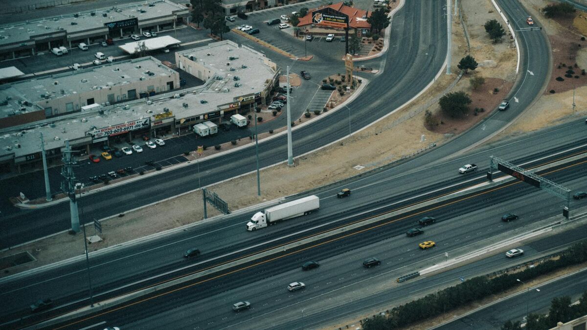
Every 90 seconds, a plane takes off or lands at Los Angeles International Airport, and El Segundo sits directly south of the runways. This 5.5-square-mile city in Los Angeles County holds only about 17,500 residents but operates in the shadow of LAX, a Chevron refinery, and major aerospace employers including Raytheon and Northrop Grumman. When a collision happens on Sepulveda Boulevard or Pacific Coast Highway near these facilities, the stakes escalate fast: HAZMAT exposure windows open, airport surface access roads congest, and multiple agencies converge on the same scene.
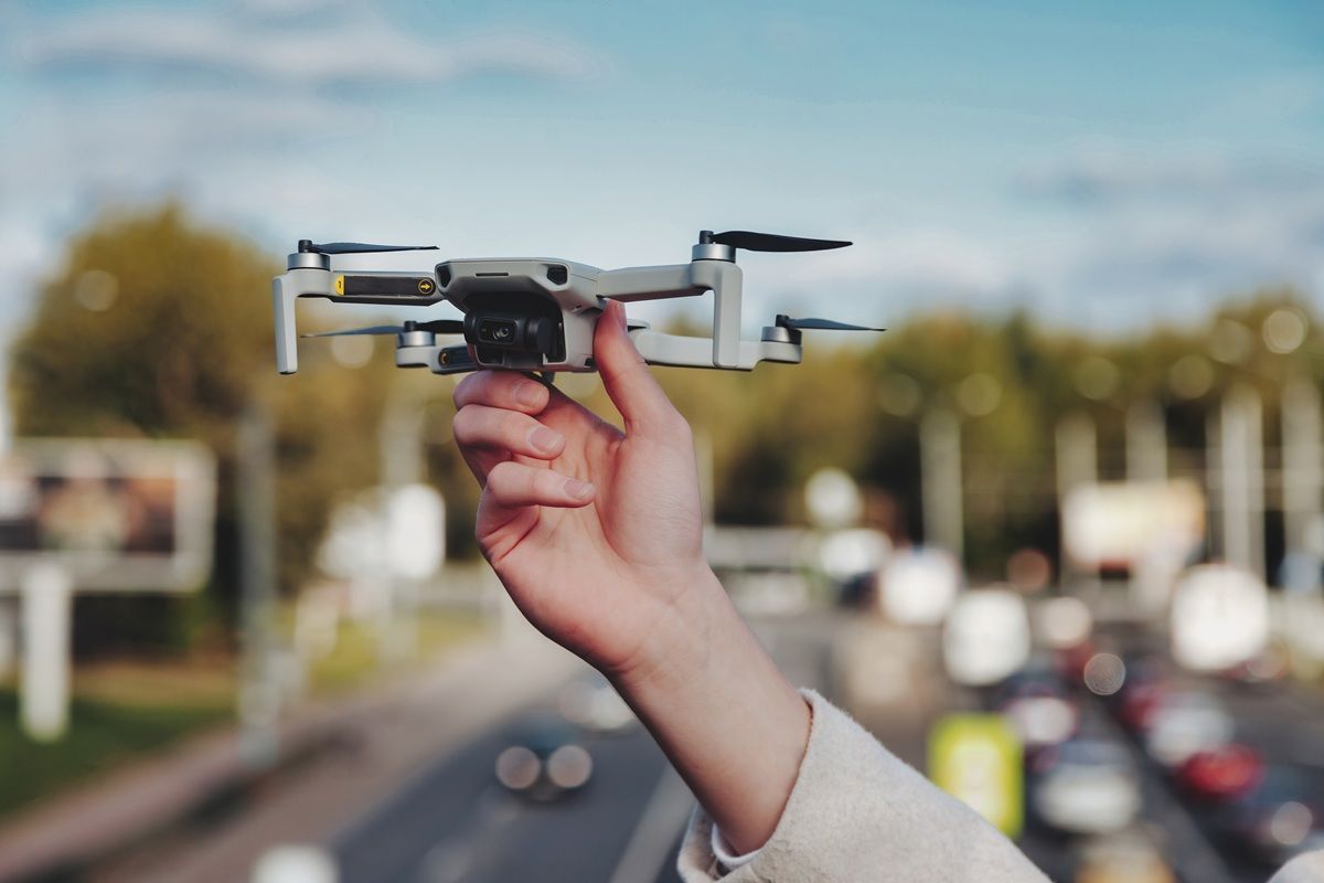
El Segundo PD turned to SkyeBrowse, a videogrammetry platform that converts drone or smartphone video into measurable 3D maps, to match that operational tempo — capturing scenes thoroughly before multi-agency response alters the physical evidence, and clearing the road before LAX-area gridlock compounds.
Key Takeaways
- Sepulveda Boulevard closures during reconstruction cascade into LAX access-road gridlock within minutes — clearing the scene fast is a regional traffic management issue, not just a department preference.
- One officer now handles documentation that previously pulled most of the on-duty shift, capturing the full scene in about 10 minutes and returning the road to traffic while the 3D model finishes processing in the cloud.
- Officers use drones already on hand for patrol and event operations, limiting adoption cost to the SkyeBrowse subscription with no new hardware budget required.
- Premium Advanced delivers industrial-incident-grade precision on par with laser scanning, producing measurements that hold up under cross-examination by defense reconstruction experts in Los Angeles County Superior Court.
- Near the Chevron refinery and aerospace campuses, rapid video capture minimizes officer exposure to hazardous-materials proximity while locking vehicle and debris positions before HAZMAT response alters the scene.
Contents
- Why El Segundo Police Department Chose Videogrammetry
- Accident and Crime Scene Documentation
- CJIS-Compliant 3D Evidence for California Courts
- Multi-Agency Efficiency on the Industrial Corridor
- FAQ
Why El Segundo Police Department Chose Videogrammetry
El Segundo's small footprint belies its complexity. A single multi-vehicle collision on Sepulveda Boulevard during shift change can grid-lock the city's limited east-west crossings, back traffic into LAX access roads, and trigger a multi-agency response involving airport operations, HAZMAT units, and CalTrans. Traditional reconstruction on these corridors demanded officers for hours — a staffing commitment a compact department cannot absorb without degrading patrol coverage. SkyeBrowse's videogrammetry delivers a faster documentation solution that preserves forensic accuracy even when agencies are cycling in and out of the scene.
SkyeBrowse's videogrammetry captures the full scene through continuous video. A drone orbit above the intersection provides the coverage the platform needs to reconstruct geometry, lane markings, and impact evidence. The 3D model becomes available for measurement well before traffic control is lifted — which means HAZMAT coordinators and airport operations liaisons can reference the same spatial record without waiting for paper diagrams.
El Segundo officers use drones already deployed for patrol and event operations, so documentation becomes an extension of assets already on the street rather than a separate procurement. That keeps the department's adoption cost limited to the subscription — the cameras and drones needed for capture were already in the inventory.
Accident and Crime Scene Documentation
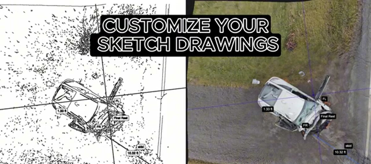
Pacific Coast Highway runs along El Segundo's western edge, carrying coastal traffic between Santa Monica and the South Bay beach cities. One officer captures collision scenes in about 10 minutes using a drone orbit or handheld video walk. The resulting model preserves lane markings, vehicle positions, pedestrian infrastructure, and debris fields so investigators can measure and analyze without returning to the roadway.
Collisions at the PCH-Rosecrans intersection often involve pedestrians and cyclists, requiring detailed spatial documentation of crosswalk geometry, vehicle approach angles, and impact points.
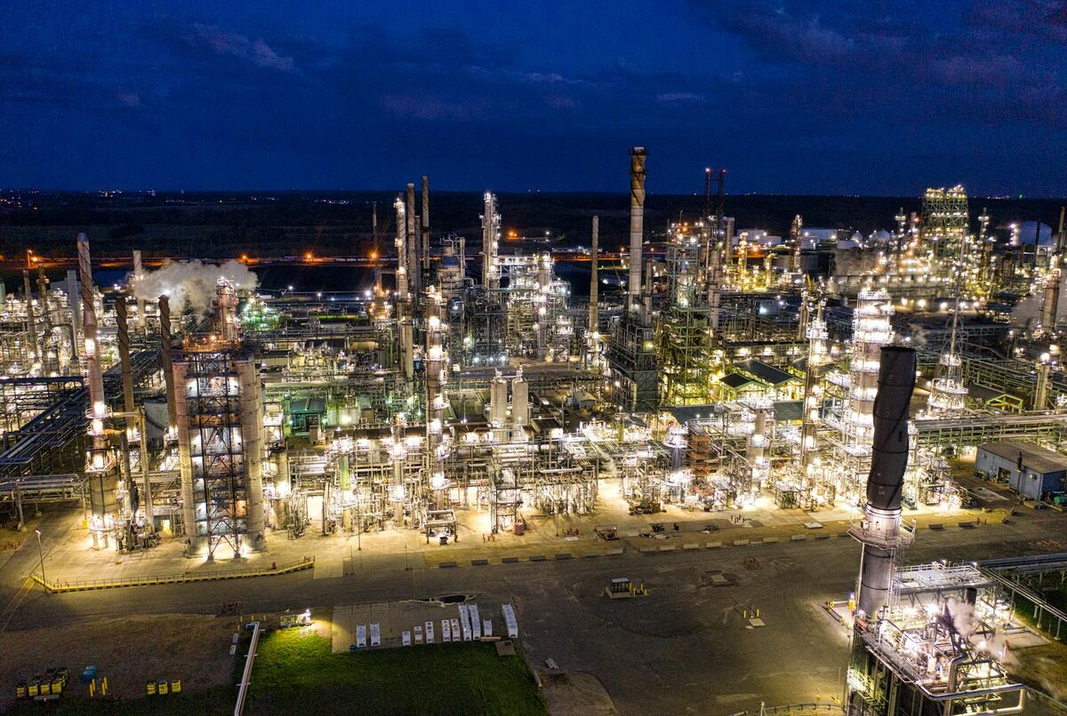
Near the Chevron refinery, industrial truck traffic creates collision scenarios with hazardous materials proximity. Fast video capture reduces officer exposure time and ensures the scene is preserved before HAZMAT response alters vehicle and debris positions. That sequence — document first, remediate second — is exactly what industrial accident litigation in LA County Superior Court expects, and SkyeBrowse makes it achievable in a standard patrol workflow.
Burglary scenes along Main Street or vehicle pursuit endpoints near the aerospace campus are documented the same way: one officer, one video pass, one complete spatial record that detectives review remotely and share with prosecutors.

CJIS-Compliant 3D Evidence for California Courts
El Segundo cases move through the Los Angeles County Superior Court system, where industrial accident and commercial vehicle litigation demands evidence that withstands aggressive defense scrutiny. SkyeBrowse Premium Advanced delivers industrial-incident-grade precision on par with laser scanning — the level of accuracy that LA County defense reconstruction experts cannot credibly challenge. The platform's security architecture protects evidence integrity from field capture through courtroom presentation.
Los Angeles County Superior Court handles some of the most heavily litigated traffic fatality and commercial vehicle cases in California. When an incident occurs near industrial facilities, defense reconstruction experts intensify their scrutiny of measurement methodology, chain of custody, and capture reliability. SkyeBrowse addresses each challenge: Premium Advanced's accuracy exceeds what traditional total-station measurements typically achieve at busy urban intersections, and the platform's CJIS-ready security infrastructure closes the custody gap that often weakens handcrafted scene diagrams.
All model data is stored on secure government cloud infrastructure — the same tier federal agencies use for sensitive data. Every session generates an audit trail logging upload time, access events, and exports. That record travels with the evidence file when El Segundo prosecutors present the model in a courtroom, answering the chain-of-custody challenges defense counsel raises in industrial-accident proceedings. Data retention on Premium and Premium Advanced tiers ensures evidence remains accessible through the full appellate timeline that serious commercial vehicle cases in LA County can require. AI object removal produces a clean scene record, stripping emergency responders and bystanders from the model before any overhaul of the scene disturbs the physical evidence. GLB model exports give prosecutors an interactive 3D exhibit jurors can examine on a courtroom display.
Multi-Agency Efficiency on the Industrial Corridor
A department serving 17,500 residents plus a massive daytime workforce of refinery workers, aerospace employees, and airport-connected logistics staff cannot afford to lose most of its on-duty officers to a single reconstruction. SkyeBrowse compresses documentation to one officer and about 10 minutes, freeing the remainder of the shift to maintain patrol coverage while the 3D model finishes in the cloud. Faster clearance on Sepulveda Boulevard also reduces LAX-area congestion and lowers secondary crash risk on access roads.
The practical cost of a multi-hour reconstruction on Sepulveda Boulevard is not just personnel time — it is the downstream effects that ripple across agencies. Officers tied to the scene means one supervisor managing patrol coverage for a city whose daytime population swells with refinery workers, aerospace employees, and airport-connected logistics staff. When HAZMAT units need to enter and other agencies need to stage, an incomplete reconstruction creates spatial ambiguity that slows every group's work.
With SkyeBrowse, one officer captures documentation in about 10 minutes. The resulting 3D model is in the cloud before the second agency unit arrives on scene, giving incident commanders a shared spatial reference that accelerates coordination and allows the road to be cleared before the next shift-change congestion wave hits LAX's surface access routes.
Consistent documentation also improves case outcomes. When every officer follows the same capture workflow, case files become directly comparable across officers and shifts — a benefit prosecutors notice when building timelines for multi-scene DUI investigations or serial commercial burglary patterns along Imperial Highway.
FAQ
How does SkyeBrowse reduce multi-agency coordination time on industrial corridor incidents near LAX?
A single El Segundo officer flies a drone orbit above the collision site and uploads the footage directly to SkyeBrowse. The platform returns a measurable 3D model while the scene is still secured, giving HAZMAT coordinators, airport operations liaisons, and traffic management personnel a shared spatial reference — without waiting for a full reconstruction team to finish tape measurements. Critical on Sepulveda, where extended closures back traffic into LAX access roads. Learn more at skyebrowse.com.
Is SkyeBrowse evidence admissible in Los Angeles County Superior Court for industrial accident litigation?
Yes. SkyeBrowse Premium Advanced delivers industrial-incident-grade precision on par with laser scanning, with CJIS-ready audit trails and secure cloud infrastructure. That accuracy and chain-of-custody documentation satisfies the evidentiary standards LA County prosecutors and defense reconstruction experts contest in Superior Court proceedings involving commercial vehicle and industrial-adjacent collision cases.
Does El Segundo PD need dedicated hardware to use SkyeBrowse?
No. El Segundo officers upload footage from drones already deployed for patrol and event operations. SkyeBrowse accepts standard MP4 and MOV video files, so the department's existing fleet captures documentation-grade video without any additional equipment purchases.
Get a SkyeBrowse Quote for El Segundo Police Department
El Segundo PD manages an outsized operational challenge inside a 5.5-square-mile footprint — LAX traffic, industrial corridors, HAZMAT-adjacent crash scenarios, and a daytime workforce that dwarfs the resident population. When a Sepulveda collision demands thorough documentation and fast multi-agency clearance, there is no margin for a slow reconstruction that stalls every responder on scene. Contact SkyeBrowse to discuss how El Segundo's existing drone assets can be put to work for scene documentation starting with a single pilot deployment.