Branch County, Michigan, covers 519 square miles of farmland, lake communities, and small towns with a total population of roughly 43,000. The Sheriff's Office is the primary law enforcement agency for most of that area, responsible for patrol, crash investigation, criminal cases, search and rescue around over 100 lakes, and civil process. When a fatal collision shuts down a stretch of I-69 near Coldwater or a missing person search begins at one of the county's recreational lakes, the agency does not have the luxury of calling a specialized reconstruction unit from Lansing or Kalamazoo. SkyeBrowse gives Branch County deputies a videogrammetry workflow — converting drone or smartphone video directly into measurable, court-admissible 3D models — that delivers reconstruction-grade precision at the scene, produced by the responding deputy without waiting for outside assistance.
Key Takeaways
- Overnight shifts may mean two or three deputies covering all 519 square miles — every deputy pinned at a crash scene for hours represents whole townships left without patrol coverage.
- SkyeBrowse recovers patrol coverage hours per reconstruction: the responding deputy completes scene capture in about ten minutes, returning the rest of the roster to active coverage before the 3D model finishes processing.
- Reconstruction-grade precision is delivered at the scene by the responding deputy, not a specialist driving in from Kalamazoo — any trained officer produces output that satisfies Michigan court standards.
- Evidence stores on AWS GovCloud with CJIS-compliant audit trails that meet the 15th Circuit Court's requirements for sheriff's department digital evidence in Michigan.
- One platform covers I-69 fatalities, lake-based rescue documentation, rural crime scenes, and FEMA-eligible flood damage assessments — the same ten-minute video-to-3D workflow serves all of them.
Contents
- How does extended crash reconstruction affect township-level patrol coverage across 519 square miles?
- What does multi-mission documentation look like for a rural county with 100-plus lakes and an interstate corridor?
- How does cross-agency coordination work when Branch County shares a border with Indiana?
- Does SkyeBrowse meet Michigan court standards for sheriff's department digital evidence?
- FAQ
How does extended crash reconstruction affect township-level patrol coverage across 519 square miles?
When a fatal crash on I-69 pins the responding deputy at one location for an extended manual reconstruction, the math is straightforward: entire townships across Branch County's 519 square miles go without coverage for those hours. SkyeBrowse changes that equation by compressing scene documentation to about ten minutes, so the rest of the patrol roster stays in service across the county while the model processes in the cloud.
Rural sheriffs offices face a staffing arithmetic that urban departments rarely encounter. Branch County may have a handful of deputies covering hundreds of square miles on overnight shifts. When a serious crash occurs on I-69, every hour that documentation holds a deputy at the scene is an hour the surrounding townships spend without a patrol presence. That is not an abstract efficiency concern — it is a direct impact on response time for any call that comes in while the scene is being worked.
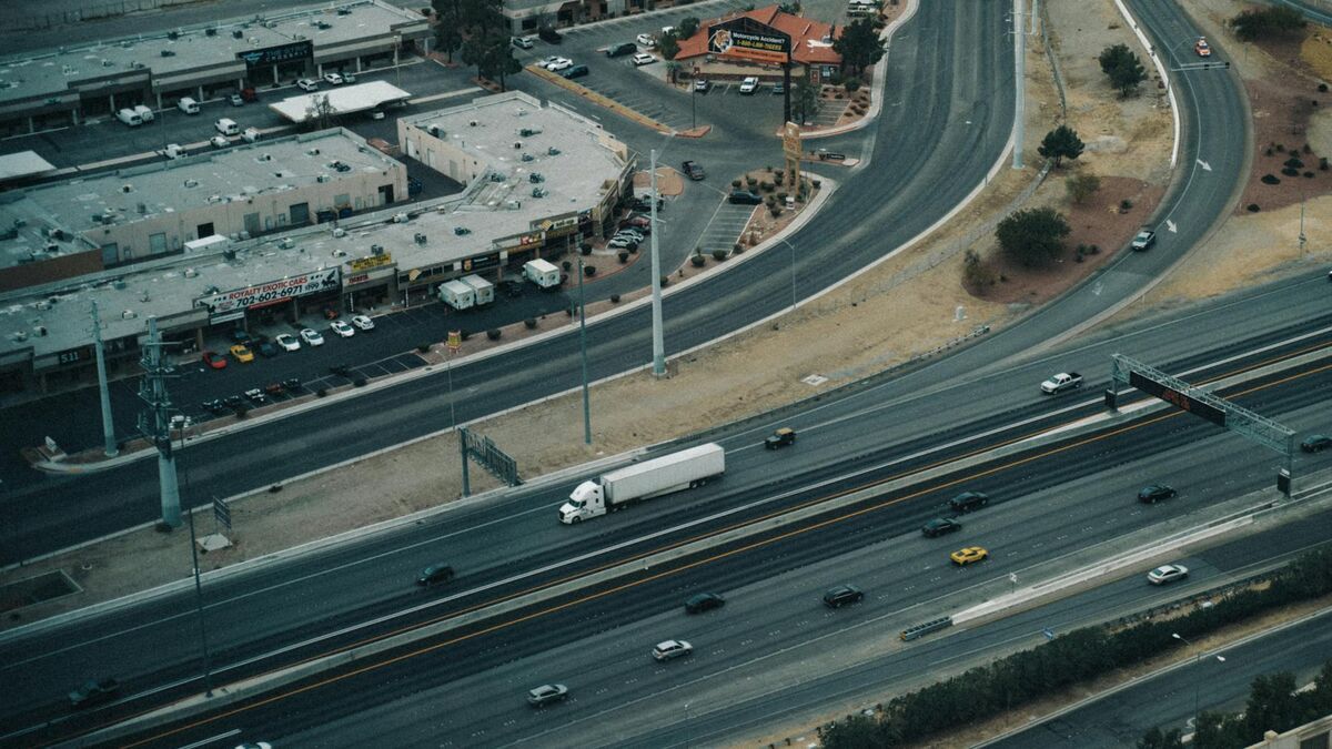
The I-69 corridor is the primary artery connecting Fort Wayne, Indiana, to Lansing, Michigan, carrying commercial freight and commuter traffic through Branch County at highway speeds. Collisions at the interchange with US-12 or along the rural two-lane sections of M-86 demand the same forensic accuracy as urban incidents but with far fewer available personnel and no reconstruction specialist on call within practical driving distance.
SkyeBrowse solves that staffing gap. A single deputy flies a drone orbit or walks the scene perimeter with a smartphone, and the platform generates a measurable 3D model. The footage uploads and processes rapidly — typically ready before the scene is cleared. Deputies use whatever video-capable hardware they already carry — department drones, smartphones, or body cameras — and the platform accepts the footage without conversion or specialized software on the device.
What does multi-mission documentation look like for a rural county with 100-plus lakes and an interstate corridor?
Branch County's 100-plus lakes generate a steady volume of marine-related calls during summer months, and its I-69 corridor demands high-accuracy crash documentation year-round. SkyeBrowse's video-to-3D workflow covers all of these mission types — from boating accident documentation to fatal crash investigation to crime scene capture — using the same process deputies already know from crash scenes.
Branch County's lakes generate boating accidents, drowning investigations, and shoreline property disputes throughout the summer. Drone capture of a shoreline area preserves spatial relationships between docks, watercraft positions, and evidence markers in a format detectives can revisit without driving back to the lake — particularly valuable when the incident site is at the far end of a private access road that was easy to reach in daylight and considerably less so after dark.
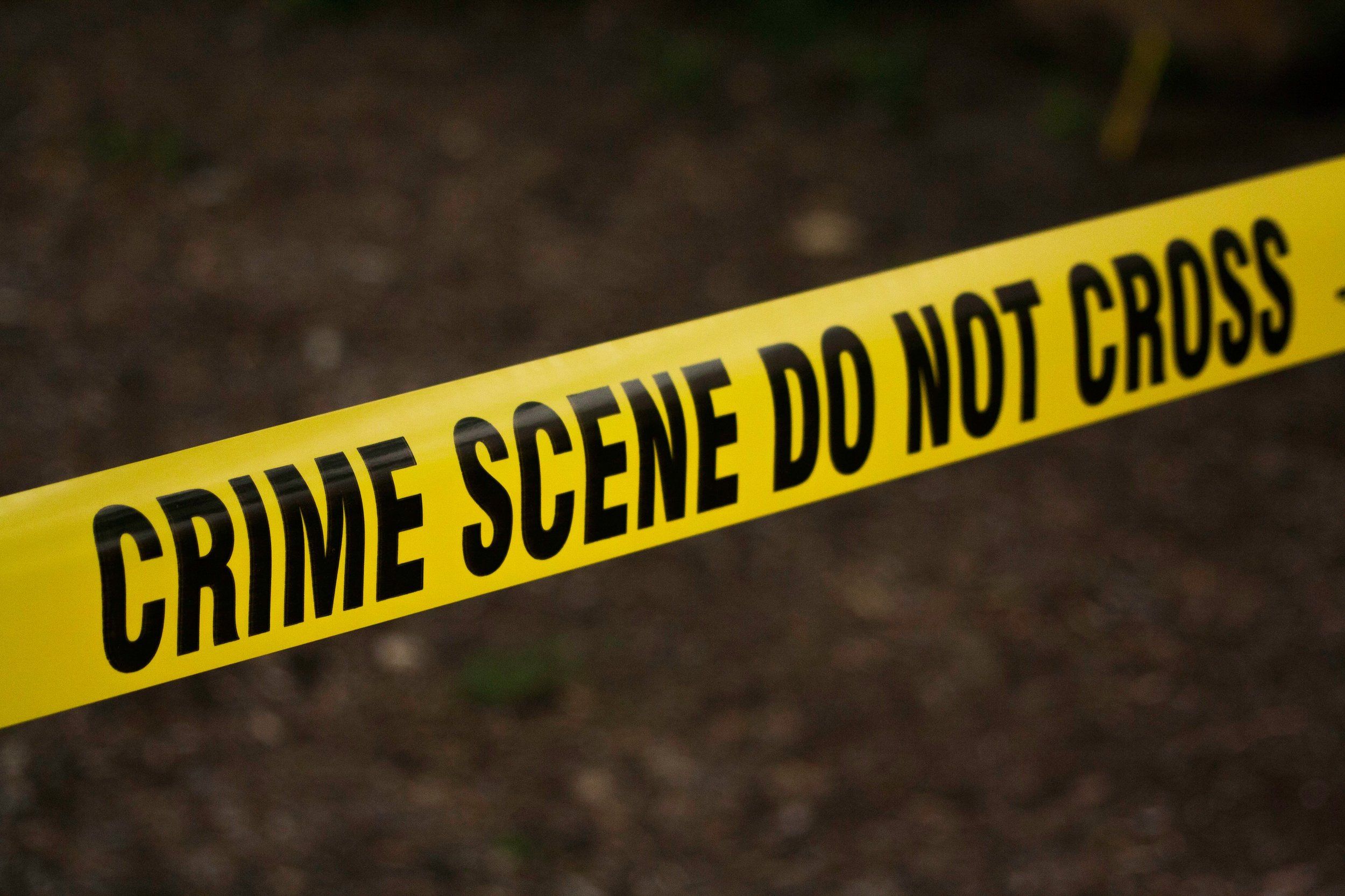
Fatal crash investigation remains the highest-stakes use case. SkyeBrowse Premium Advanced produces models with sub-inch measurement accuracy, capturing skid marks on I-69, vehicle crush profiles, and debris scatter in a single video pass. Michigan State Police forensic analysts and prosecutors in Branch County Circuit Court can rely on that measurement precision when expert witnesses for the defense challenge methodology point by point.
Crime scenes at rural agricultural operations and shooting incidents in isolated townships benefit from the same capture workflow. Detectives revisit the digital scene instead of driving 30 minutes back to the physical location — a meaningful time savings when the next call is already waiting. TacBrowse supports tactical planning for high-risk warrant service on rural properties where aerial reconnaissance provides the safest approach for pre-planning entry routes and perimeter coverage across isolated terrain.
The Coldwater River corridor and surrounding agricultural properties create seasonal flooding that requires damage assessment for emergency management and FEMA reporting. SkyeBrowse models provide baseline and post-event documentation without requiring deputies to enter unstable or water-compromised areas.

How does cross-agency coordination work when Branch County shares a border with Indiana?
Branch County's southern border with Indiana creates jurisdictional overlaps on I-69 incidents involving vehicles, drivers, or victims from both states. SkyeBrowse's cloud-based sharing lets Branch County deputies, Michigan State Police, Indiana State Police, and Coldwater Police Department review the same 3D model without scheduling a joint site visit, keeping multi-agency cases moving efficiently.
I-69 incidents that cross the state line involve investigators from multiple agencies who may never be on scene at the same time. SkyeBrowse's cloud model sharing means each agency accesses the same documented scene from their own devices, at their own schedule, without requiring a coordinated return visit that may be logistically impractical across a state boundary.
Mutual aid calls from neighboring Hillsdale, Calhoun, and St. Joseph counties are routine. A consistent documentation platform means models captured by a Branch County deputy meet the same standards as those captured by state troopers or city officers, simplifying evidence sharing when a case moves between jurisdictions or involves parallel investigations.
Search and rescue operations around the county's lake systems benefit from aerial 3D mapping that gives ground teams a spatial reference for grid searches. The resulting model documents the search area for after-action review and provides a baseline that supports any subsequent investigation if the incident becomes a criminal case.
Does SkyeBrowse meet Michigan court standards for sheriff's department digital evidence?
Branch County cases adjudicated in the 15th Circuit Court move before judges who expect measurement methodology they can independently verify. SkyeBrowse delivers reconstruction-grade precision at the scene by the responding deputy — not a specialist driving in from Kalamazoo — and stores evidence on AWS GovCloud with CJIS-compliant audit trails that satisfy Michigan court standards for sheriff's department digital evidence.
Defense attorneys in serious crash and homicide cases routinely challenge how evidence was collected, who had access to it, and whether the chain of custody was maintained from scene to courtroom. SkyeBrowse addresses each of those questions through infrastructure and process rather than relying on an individual officer's notes or memory.
Evidence stores on AWS GovCloud (US) servers operating under FedRAMP controls that align with federal security requirements. Every access event — from the capturing deputy through the Prosecuting Attorney's Office through any defense expert who reviews discovery — is logged in an audit record that prosecutors can present alongside the model itself. That transparent custody record is the foundation of a defensible chain of custody under Michigan evidentiary rules.
CJIS-compliant workflows govern how deputies share models with Michigan State Police forensic analysts and Coldwater PD investigators. Data is retained on Premium tiers long enough to cover appeals in cases that move slowly through the Michigan court system — relevant for Branch County cases that may be adjudicated years after the initial incident. The FBI CJIS Security Policy sets the compliance baseline that SkyeBrowse's evidence handling is built to support.
Because any trained deputy can execute the capture workflow — not just a certified reconstructionist — Branch County is no longer dependent on a single specialist being available when incidents occur. Deputies follow a short capture checklist that produces consistent output regardless of shift, time of day, or how isolated the location is. The NHTSA's Traffic Safety Facts research underscores why speed of documentation matters: secondary incident risk rises during extended scene closures, and faster clearance on I-69 reduces that exposure for a county that cannot afford another concurrent incident while a scene is still being worked.

FAQ
How does SkyeBrowse help Branch County Sheriff's Office recover patrol coverage hours per reconstruction?
When a fatal crash on I-69 near Coldwater pins the responding deputy at the scene for an extended manual reconstruction, whole townships go without coverage for those hours. SkyeBrowse lets the responding deputy complete full documentation in about ten minutes, returning the rest of the patrol roster to active coverage across the county's 519 square miles while the model is still processing. Learn more at skyebrowse.com.
Does SkyeBrowse meet Michigan court standards for sheriff's department digital evidence?
Yes. SkyeBrowse delivers reconstruction-grade precision at the scene by the responding deputy — not a specialist driving in from Kalamazoo. Evidence stores on AWS GovCloud (US) infrastructure with audit trails that document every access event — the kind of chain-of-custody record that holds up against defense scrutiny in the 15th Circuit Court. The FBI CJIS Security Policy sets the compliance baseline SkyeBrowse is built to support.
What types of missions can Branch County use SkyeBrowse for beyond crash scenes?
The same capture workflow covers boating accident documentation on any of the county's 100-plus lakes, crime scene capture at rural agricultural sites, aerial pre-planning for high-risk warrant service, and post-flood damage documentation along the Coldwater River corridor for FEMA reporting. See skyebrowse.com/tutorials for workflow guides.
Branch County's geography demands a platform that can shift from an I-69 fatality at dawn to a lake rescue search at noon to a rural crime scene that evening. SkyeBrowse's video-to-3D workflow handles all of it with the personnel the office already has — and gets each deputy back on patrol radius coverage before the next call comes in.