Tutorials
Showing 1 to 9 of 9 results
ComparisonsSkyebrowse vs Pix4DSkyebrowse vs Agisoft MetashapeSkyebrowse vs Autodesk ReCapSkyebrowse vs DroneDeploySkyeBrowse vs 3DF ZephyrSkyeBrowse vs Bentley ContextCaptureSkyeBrowse vs Bentley LumenRTSkyeBrowse vs Cardinal SystemsSkyeBrowse vs Correlator3DSkyeBrowse vs EagleViewSkyeBrowse vs ESRI Site ScanSkyeBrowse vs FARO ScannerSkyeBrowse vs Leica BLK360SkyeBrowse vs MeshroomSkyeBrowse vs PhotoModelerSkyeBrowse vs Propeller AeroSkyeBrowse vs RealityCaptureSkyeBrowse vs Regard3DSkyeBrowse vs Topcon Magnet CollageSkyeBrowse vs Trimble Business CenterSkyeBrowse vs WebODMDroneDeploy ReviewSkyeBrowse vs OpenDroneMapSkyeBrowse vs PolycamRealityCapturePix4D ReviewPolycam ReviewWebODM ReviewDroneDeploy AlternativesSkyeBrowse vs MatterportPix4D vs DroneDeployDJI Terra vs Pix4DPix4D vs MetashapeMetashape vs RealityCaptureFARO vs LeicaPolycam vs ScaniversePolycam vs MatterportKuula vs CloudPanoWebODM vs OpenDroneMap
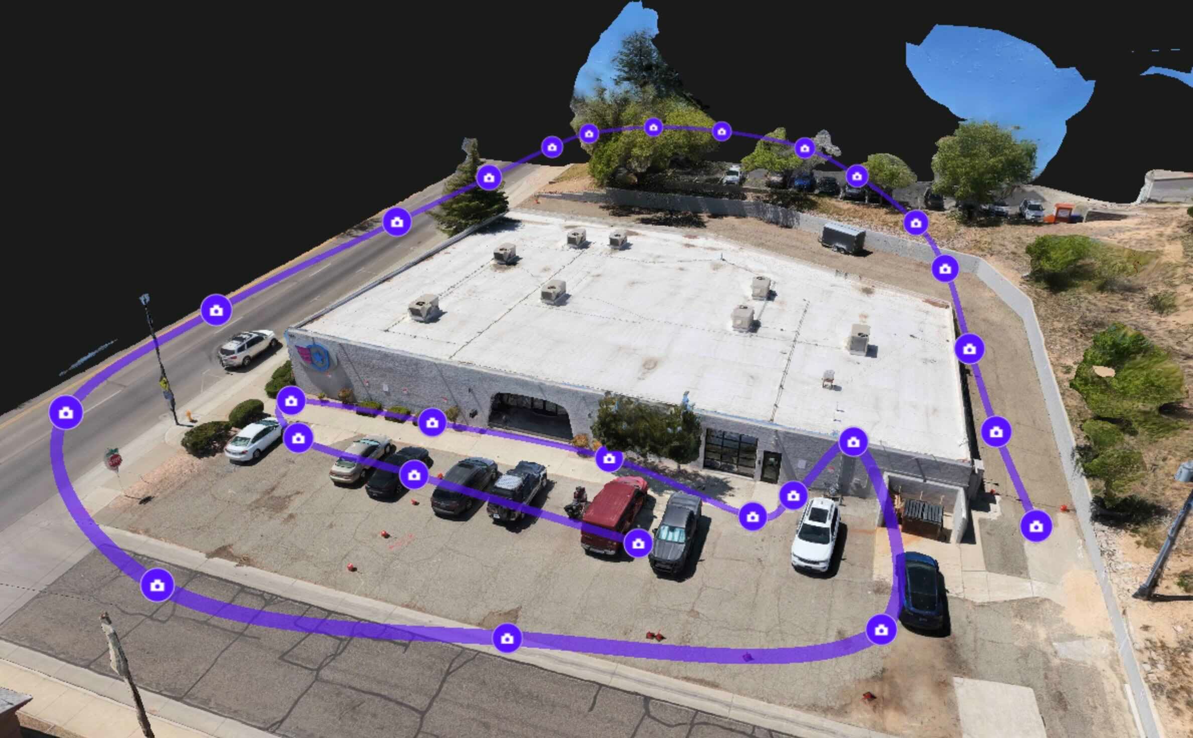
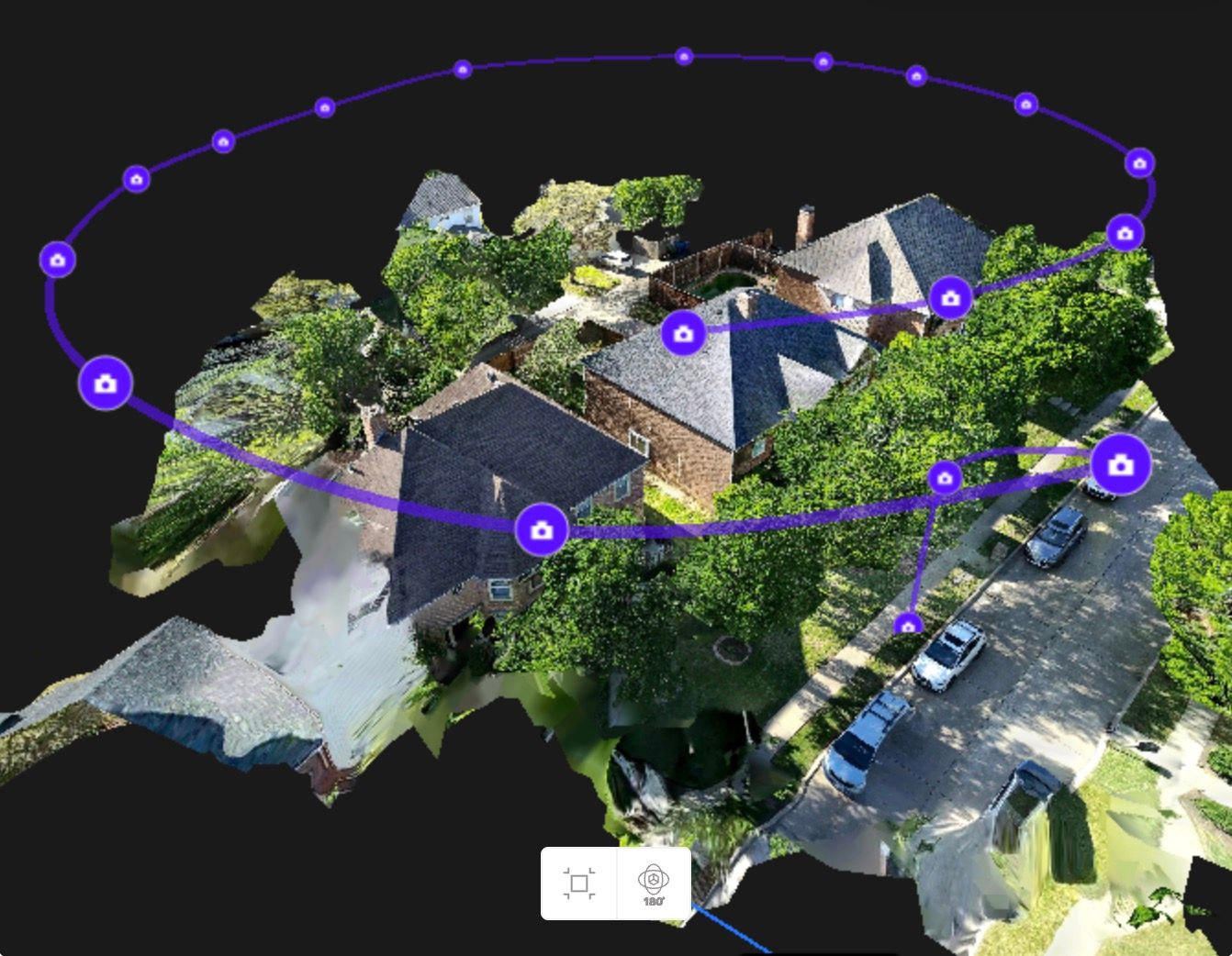
GuidesDrone Mapping: How It WorksDrone Mapping Software GuideHow UAV video creates site-scale 3D mapsDrone 3D ModelingDrone Surveying GuideDrone PhotogrammetryWhat Is Photogrammetry?Aerial PhotogrammetryAerial Mapping with DronesOrthomosaic: Complete GuideVideogrammetry vs PhotogrammetryLiDAR vs PhotogrammetryPhotogrammetry vs OrthomosaicOrthomosaic vs 3D ModelGSD Calculator for Drone MappingTotal Station vs Drone MappingGround Sample Distance ExplainedBest UAV Mapping SoftwareBest 3D Mapping SoftwareBest Photogrammetry AppsFree Drone Mapping SoftwareRTK vs PPKOblique vs Nadir CaptureGCP vs No GCP AccuracyGround Control Points (GCPs)Drone LiDAR GuideIndoor vs Outdoor MappingSingle vs Multi-Video UploadSingle vs Multi-Video (Compared)Image to 3D ModelHow to Make a 3D Model with a DroneHow to Create a 3D MapPhone vs 360 Camera (Indoor)What Is a 3D Walkthrough?Best Drone Mapping AppsWhat Is Gaussian Splatting?Create a Gaussian Splat From Video
Public SafetyLaw Enforcement DronesFirst Responder Drones & DFRDrone Crime Scene MappingCollision ReconstructionCrash Reconstruction MethodsAccident Reconstruction ChecklistACTAR Certification GuideHiring a Reconstruction ExpertSearch and Rescue Drone MappingFire Department Drone OperationsDrone Forensic EngineeringDrone Disaster Response MappingCampus Security PreplanningEvent Security with Drone MappingHazmat Incident DocumentationSkyeBrowse & the Daubert StandardIs SkyeBrowse Daubert-Ready?Best Mapping for Campus SafetyDrone Preflight ChecklistPart 107 Drone CertificationSkyeBrowse EVR: Enterprise VRForensic Accident ReconstructionVideogrammetry for Emergency ResponseAccident Reconstruction TrainingSightline Analysis Case Study
Construction & Inspections3D Mapping for ConstructionConstruction Progress MonitoringConstruction Drone ServicesDigital Twin in ConstructionDigital Twin from Drone VideoWhat Is a Digital Twin?Digital Twin TechnologyBIM Coordination Drone WorkflowDrone As-Built DocumentationCut and Fill Map from Drone VideoDrone Roof InspectionDrone Roof Inspection CostBest Roof Inspection SoftwareDrone Bridge InspectionDrone Facade InspectionDrone Commercial Property InspectionSolar Farm InspectionWind Farm InspectionDrone Stockpile MeasurementsSite Capture with Drone VideoHome Inspection DronesDrone HOA InspectionDrone Inspection ServicesUtility Infrastructure InspectionRoofing DronesRoof AssessmentDigital Twin Building
Industries & Use CasesAgriculture Field AnalyticsAirport Operations MappingWarehouse & Logistics MappingReal Estate MarketingDrones That Map HomesSurveying DronesMapping DronesDrone Insurance ClaimsInsurance Claims Documentation3D Mapping for Urban PlannersDrone 360 ToursDrone Mapping
Buyer's GuidesBest 3D Mapping for AgricultureBest 3D Mapping for AirportsBest 3D Mapping for Fire DeptsBest 3D Mapping for PoliceBest 3D Model Viewers for CourtBest Accident Reconstruction SoftwareBest CJIS-Compliant PlatformBest Progress Monitoring ToolsBest Crime Scene DocumentationBest Digital Twin SoftwareBest Drone-Agnostic PlatformBest Software for DJI Mavic 3EBest Mapping for SurveyorsBest Drones for Crime ScenesBest Insurance Adjuster ToolsBest Interior Mapping SoftwareBest Software for DJI M350 RTKBest Orthomosaic SoftwareBest Photogrammetry SoftwareBest Tactical Planning SoftwareBest Drone Photogrammetry SoftwareBest 3D Room Scanner Apps
Pricing & ServicesDrone Services GuideDrone Services PricingDrone Mapping ServicesDrone Photography Cost3D Mapping Software CostPhotogrammetry ServicesFree Photogrammetry SoftwareFree Mapping for Beginners
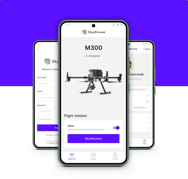
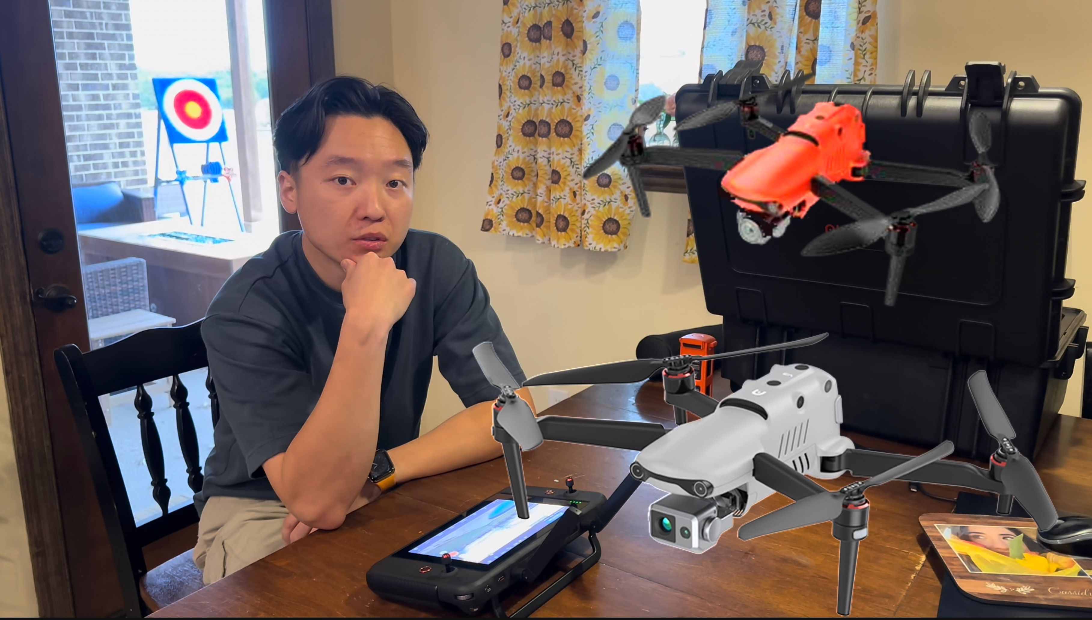
Drones & HardwareDJI Mavic 3 Pro 3D ModelDJI Mavic 3E SetupDJI Mini 4 Pro MappingDJI Mini 5 Pro MappingMini Drone for SurveyingDJI Mavic 4 Pro MappingDJI Matrice 4E/4T MappingPhantom 4 MappingAutel EVO Max 4T MappingSkydio Mapping
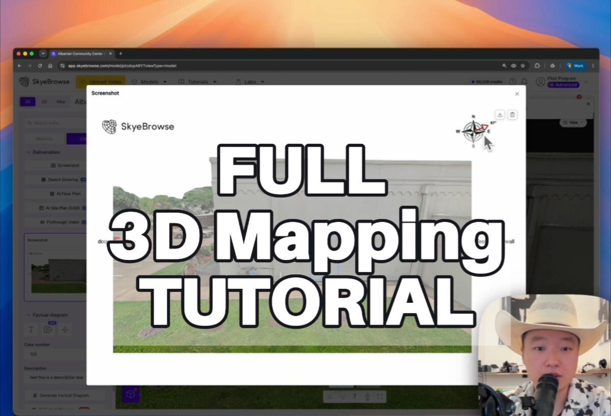
TutorialsFlight App TutorialUniversal UploadMerge ModelsPay-Per-Model (PPM)DJI Avata 360 MappingInterior Mapping (DJI Avata)Interior Mapping (Phone)Interior Mapping (Insta360)Autel EVO II & MAX 4THow to Make a 360 Virtual TourSkyeBrowse 3D Model Viewer Tutorial
Case StudiesAlbemarle County Fire RescueMiddletown PD Saved $47MCAP MA Wing: 10,000-Acre CoastlineDFR: Drone as First ResponderHuntington Beach PDSeward PDWeatherford PDHurricane HeleneHurricane Dorian ResponseA Mechanical Engineer's Experience
News & UpdatesBiggest Update 2025SkyeBrowse Ultra Major UpdateThinking Update & TrainingNew Flight App for DJIIntroducing Interior AI DesignerIntroducing Pocket AIIntroducing SaltBrowseIntroducing TacBrowseIntroducing Midnight SunIntroducing SkyeBrowse LiteIntroducing Universal UploadIntroducing Image WalkthroughsAutomated Sketch DiagramsIntroducing Volume ToolIntroducing Pay-Per-ModelIntroducing 360 Interior MappingFast & Free 2D MappingAgent Luis40% Faster 3D Model LoadingModels Process 1.5x FasterQuickest-Loading 3D ModelsBiggest SkyeBrowse MakeoverDJI M3T, M30T & M300 RTK SupportSkyeBrowse for AutelSkyeBrowse Android Is HereFree 3D Modeling2D Mapping & 3D Modeling Update3D Overlays for AllImage Walkthroughs & HardwareAnnotations & Transparent PricingGPS Upload & Color ImprovementsGPS Upload & Color UpdatesMajor Product UpdateTransparency UpdateReal-Time CollaborationShare Your 3D ModelThe SkyeBrowse ExperienceNighttime Accident Investigation StudyOctober 2022 ConferenceSeptember 2022 UpdateJuly Model of the Month2022 Year in Review2020 Year in ReviewNewsletter: 5 New Features LiveUpgraded Factual DiagramsNewsletter: Public Safety Icons, Mobile Tools, and UndoNewsletter: Here's What Your Next Flight Can Produce Now
Press & PartnershipsSkyeBrowse Raises $2.3M SeedSkyeBrowse–Paladin PartnershipSkyeBrowse × PaladinPaladin Partnership & Agent LuisSkyeBrowse × DraganflySkyeBrowse × FlytBaseSkyeBrowse × LA County RTCSkyeBrowse × RSETSkyeBrowse × NPS DDPSkyeBrowse × Metro FireSkyeBrowse × W.S. DarleySkyeBrowse × RescunomicsPartnership: Public Safety UASFree Enterprise for CA AgenciesSkyeBrowse Goes DubaiSkyeBrowse Takes On WREXOhio Trip & Cost SavingsFreemium Upgrade & Road TripThe Birth of SkyeBrowseHow a Motorcycle Crash Inspired UsHow Law Enforcement Uses DronesHow Drones Revolutionize 3 IndustriesRapid 3D Modeling for Public SafetyAutomated Paperwork ToolHyper-Enhanced 3D Modeling
© 2026 SkyeBrowse. All Rights Reserved.