# Introducing Fast and Free 2D Mapping
> SkyeBrowse's free rapid 2D mapping turns a WideBrowse drone video into a high-definition 2D map, delivered to you by email link.
Source: https://www.skyebrowse.com/news/posts/introducing-fast-and-free-2-d-mapping
Published: 2023-11-20
_**Proprietary videogrammetry technology can now generate free 2D maps from any video**_
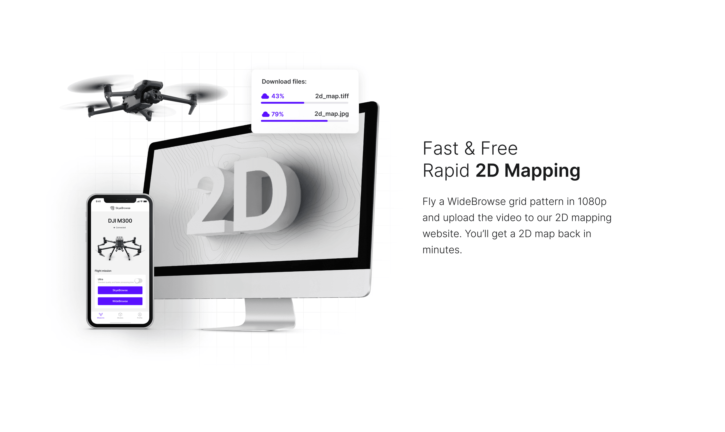
Dallas, Texas, November 6, 2023 – SkyeBrowse, the leader in videogrammetry solutions, today proudly announces the launch of its latest innovation – a free rapid 2D mapping software designed to transform the aerial mapping industry. This disruptive technology is poised to democratize 2D mapping, making it accessible and user-friendly for all.
Traditionally, acquiring a quality 2D map has been a complex and costly endeavor. Users faced multiple hurdles, including:
- Expensive subscription services.
- Steep learning curves associated with intricate software.
- Extended processing times, with hours or even days required for map generation.
These factors have long restricted high-level aerial mapping analytics to well-funded and technologically equipped players.
SkyeBrowse's new software shatters these barriers, offering a streamlined and cost-free alternative. The service is tailored for inclusivity, allowing small business owners, hobbyists, and educators to benefit from the same advanced aerial data analytics that have been exclusive to industry heavyweights.
Key Features and Benefits:
- No cost: Completely free 2D mapping
- Ease of use: Intuitive interface that simplifies the mapping process.
- Speed: Turn aerial videos into 2D maps in a matter of minutes, not hours or days.
Getting Started is Simple:
- Visit https://lab.skyebrowse.com/
- Enter your email and upload your video.
- Accept the terms and submit your video for processing.
Upon submission, the software swiftly processes the video, and users receive an email with a link to their high-definition 2D map. For optimal results, 4K WideBrowse videos are recommended; 1080p works and processes faster.
SkyeBrowse is committed to democratizing reality capture for enhanced decision-making. With our new free rapid 2D mapping software, we invite everyone to experience the power and simplicity of state-of-the-art aerial mapping. For further details and to begin mapping, download the SkyeBrowse app available on the App Store and Google Play store, or visit https://www.skyebrowse.com.
**Upload your first video free.** Create a free SkyeBrowse account, upload a drone video, and get a 3D model processed in the cloud. Freemium organizations that have never had a paid plan can get their first full Commercial model for $5 (normally $24.99), with every Pro tool and export included and 90-day storage.
About SkyeBrowse:
SkyeBrowse is the fastest and easiest drone reality capture platform in the world. Designed by first responders for first responders, SkyeBrowse allows anyone to make a 3D model at the press of a button. With over 10,000 accidents documented on their CJIS-compliant servers, the Texas-based company is trusted by over 1,200 agencies, including the National Transportation Safety Board, California Department of Justice, Dallas Fort Worth Airport Police, and many more. Learn more at https://www.skyebrowse.com.