# DJI Neo 2 Mapping: Specs, GSD and a Manual Video-to-3D Workflow
> DJI Neo 2 mapping guide: how to fly the Neo 2 by hand for a 3D model, GSD by altitude, Universal Upload with the .SRT file, and when to use a bigger drone.
Source: https://www.skyebrowse.com/news/posts/dji-neo-2-mapping
Published: 2026-10-14
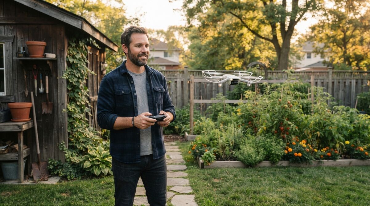
DJI Neo 2 mapping works for small scenes when you fly the capture by hand, because the Neo 2 isn't on the SkyeBrowse Flight App list and has no waypoint missions, yet its 4K video uploads to SkyeBrowse like any other clip. Videogrammetry, the technique of building a 3D model from continuous video frames, needs only one steady clip, so a 151 g drone can still produce a measurable model. This guide covers the specs that matter, the Universal Upload workflow, flight technique, GSD by altitude, good jobs for it, and costs.
## Key Takeaways
- The Neo 2 has no SkyeBrowse Flight App support and no waypoint missions, so every mapping capture is flown manually and sent through Universal Upload.
- Its 12MP 1/2-inch sensor records 4K at up to 60 fps through a wide 16.5 mm equivalent lens, which covers more ground per frame and less detail per pixel.
- In 4K, each pixel spans about 1.1 cm of ground at 20 m and 1.7 cm at 30 m, so low flights give the best models.
- Switch on Video Subtitles in DJI Fly so each clip carries an .SRT GPS file; without one, set scale in the model with a known measurement.
- Close capture is the accuracy lever: Commercial and Pro models measure to 0.5 inch, and Public Safety & Enterprise models reach 0.1 inch.
## Contents
- [What is the DJI Neo 2, and can it map?](#what-is-the-dji-neo-2-and-can-it-map)
- [Does SkyeBrowse support the DJI Neo 2?](#does-skyebrowse-support-the-dji-neo-2)
- [How do you fly a DJI Neo 2 for a 3D model?](#how-do-you-fly-a-dji-neo-2-for-a-3d-model)
- [What GSD does the Neo 2 deliver at common altitudes?](#what-gsd-does-the-neo-2-deliver-at-common-altitudes)
- [What can you map with a DJI Neo 2?](#what-can-you-map-with-a-dji-neo-2)
- [Should you map with a Neo 2 or a Flight App drone?](#should-you-map-with-a-neo-2-or-a-flight-app-drone)
- [What does it cost to turn Neo 2 video into a 3D model?](#what-does-it-cost-to-turn-neo-2-video-into-a-3d-model)
- [FAQ](#faq)
## What is the DJI Neo 2, and can it map?
The DJI Neo 2 is a 151 g selfie and follow drone with fully guarded propellers, a 12MP 1/2-inch sensor and 4K video at up to 60 fps on a 2-axis gimbal. It can map small scenes: a slow, hand-flown clip becomes a 3D model, though it has no automated mapping missions.
DJI announced the Neo 2 in November 2025. Specifications below are from DJI's launch materials as reported by [DPReview](https://www.dpreview.com/news/4344636762/dji-neo-2-drone-announcement/) and UK dealer [Heliguy](https://www.heliguy.com/blogs/posts/dji-neo-2-review-top-10-features/); DPReview also reported that the Neo 2 would not be officially sold in the US.
| Spec | DJI Neo 2 |
| --- | --- |
| Weight | 151 g (160 g with the optional digital transceiver) |
| Image sensor | 1/2-inch CMOS, 12MP |
| Lens | 119.8° FOV, 16.5 mm equivalent, f/2.2 |
| Video | 4K at up to 60 fps (100 fps slow motion) |
| Gimbal | 2-axis mechanical (tilt and roll) |
| Max flight time | Up to 19 minutes |
| Obstacle sensing | Omnidirectional monocular vision, forward LiDAR, downward infrared |
| Storage | 49 GB internal |
| Control | Gestures, voice, DJI Fly app, DJI RC-N3, motion controller |
| Wind resistance | 10.7 m/s (Level 5) |
Reviewers flying it for photogrammetry, such as [Pix-Pro's Neo 2 test](https://www.pix-pro.com/blog/dji-neo-2-photogrammetry), note the missing waypoint support and short real-world battery life as the main limits.
## Does SkyeBrowse support the DJI Neo 2?
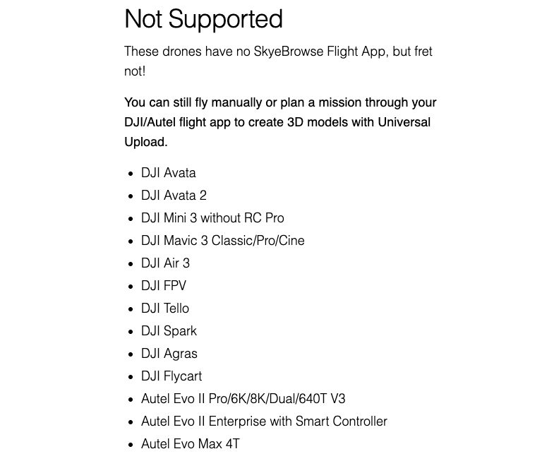
Yes, through Universal Upload, which processes video from any drone. The Neo 2 isn't on the SkyeBrowse Flight App list, so there are no automated Orbit or WideBrowse missions. Fly the capture yourself, then upload the .MP4 and its .SRT file at app.skyebrowse.com.
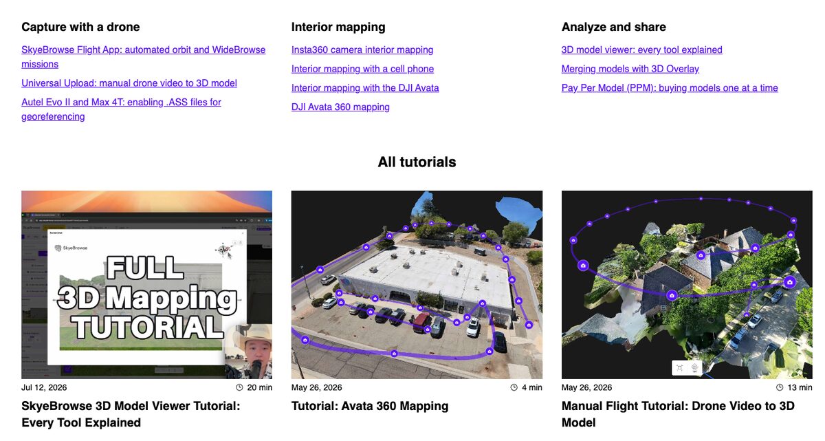
The [supported drones page](https://www.skyebrowse.com/supported-drones) says it plainly: drones without Flight App support can still record video manually and turn it into a 3D model with Universal Upload. Our [Universal Upload tutorial](/news/posts/tutorial-universal-upload) shows each step.
Before you fly, open DJI Fly's camera settings and switch on Video Subtitles so each clip writes a matching .SRT file. That GPS track georeferences the model. If a clip has no .SRT, the model still builds, and you set scale with the Scale Tool on any paid plan by measuring a known distance in the scene, such as a parking stall or a tape measure laid on the ground.
## How do you fly a DJI Neo 2 for a 3D model?
Fly with the RC-N3 or the app's virtual sticks so you control the path yourself. Fly a slow circle around the subject at a steady distance with the camera tilted down, then a second, higher circle, and keep the subject centered the whole time. Record in 4K with exposure locked.
That two-ring pattern copies what the SkyeBrowse Orbit mode flies automatically on supported drones. For flat ground larger than a single orbit, fly parallel lines with the camera pointed straight down and 70 to 80 percent overlap between lines, then add an angled orbit around any structure.
A few habits matter more on a small, light aircraft:
- **Move slowly and turn smoothly.** The 2-axis gimbal stabilizes tilt and roll mechanically, so sudden yaw turns show up in the frame. Smooth arcs give the reconstruction consistent frames.
- **Move around the subject instead of panning.** Spinning in place from one spot gives the software no depth to work with.
- **Plan short.** With up to 19 minutes per battery, finish one orbit per pack and land with margin.
- **Keep the frame clean.** Avoid big areas of sky, water and glass, and keep lighting even.
Our [manual drone mapping](/news/posts/how-to-make-3d-model-with-drone) guide covers capture patterns in more depth.
## What GSD does the Neo 2 deliver at common altitudes?
Ground sample distance, or GSD, is the width of ground one pixel represents. With its wide 16.5 mm equivalent lens, the Neo 2 in 4K gives about 1.1 cm per pixel at 20 m, 1.7 cm at 30 m and 2.8 cm at 50 m. Each frame spans roughly 2.2 times the flight height.
GSD equals sensor width times altitude, divided by focal length times image width in pixels. Using the 16.5 mm equivalent focal length, a 36 mm equivalent sensor width and 3,840-pixel 4K frames gives the approximate values below. Our [ground sample distance guide](/news/posts/ground-sample-distance) explains the formula.
| Altitude above ground | GSD, 4K video | Frame width on ground |
| --- | --- | --- |
| 10 m (33 ft) | 0.6 cm/pixel | 22 m |
| 20 m (66 ft) | 1.1 cm/pixel | 44 m |
| 30 m (98 ft) | 1.7 cm/pixel | 65 m |
| 50 m (164 ft) | 2.8 cm/pixel | 109 m |
| 120 m (394 ft) | 6.8 cm/pixel | 262 m |
A 24 mm lens on the Mini series resolves about 1.2 cm at 30 m, so a Neo 2 at 20 m roughly matches a Mini at 30 m. Detail scales with capture distance, which is why the Neo 2 rewards low, close flying. Commercial flights stay under the 400 ft ceiling in [FAA Part 107](https://www.faa.gov/uas/commercial_operators).
## What can you map with a DJI Neo 2?
The Neo 2 suits small subjects you can circle in a few minutes: a house exterior, a backyard project, a vehicle, a small building or a short stretch of road. Its guarded propellers also let it fly slowly through interiors, where SkyeBrowse's Interior Mapping option and the Scale Tool handle the missing GPS.
**Homes and yards.** A low two-ring orbit around a house gives a 3D model and an orthomosaic, a scale-correct top-down map, for planning a fence, a patio or a roof conversation with a contractor. Our [drones that map homes](/news/posts/drones-that-map-homes) roundup compares options.
**Training and practice scenes.** Agencies teaching scene documentation can use a small drone for practice captures before flying an enterprise aircraft on real incidents.
**Interiors.** Indoors there's no GPS, so turn on Interior Mapping at upload and set scale from a known measurement. The [interior mapping with a cell phone](/news/posts/tutorial-interior-mapping-cell-phone) tutorial covers the same slow, steady technique.
On rules, the FAA lets drones of 250 g or less skip registration only under the recreational exception; [any drone flown under Part 107 must be registered](https://www.faa.gov/uas/getting_started/register_drone) and comply with Remote ID, whatever it weighs.
## Should you map with a Neo 2 or a Flight App drone?
Map with the Neo 2 if you already own one and your scenes are small. If you map regularly, a Flight App drone saves time: the Mini 2 flies automated Orbits, and the Mini 3 Pro with the RC Pro and the Mini 4 Pro add automated WideBrowse grids for larger areas.
| Drone | Weight | Video | SkyeBrowse capture |
| --- | --- | --- | --- |
| DJI Neo 2 | 151 g | 4K, 16.5 mm equivalent | Manual flight plus Universal Upload |
| DJI Mini 2 | Under 249 g | 4K, 24 mm equivalent | Automated Orbit in the Flight App |
| DJI Mini 3 Pro with RC Pro | Under 249 g | 4K, 24 mm equivalent | Automated Orbit and WideBrowse |
| DJI Mini 4 Pro with RC Pro | Under 249 g | 4K | Automated Orbit and WideBrowse |
See the [DJI Mini 2 mapping guide](/news/posts/dji-mini-2-mapping), the [Mini 3 Pro mapping guide](/news/posts/dji-mini-3-pro-mapping) and the [Mini 4 Pro mapping guide](/news/posts/dji-mini-4-pro-mapping) for each workflow.
## What does it cost to turn Neo 2 video into a 3D model?
Uploading Neo 2 video and building models on Freemium costs nothing. For full resolution you pay per model: $24.99 for a Commercial model stored 3 months, $49.99 for a Pro model stored a year with exports, or $199 per model per year on Public Safety & Enterprise.
Commercial and Pro reconstruct at 8K with 0.5 inch accuracy, and annual billing drops them to $19.99 and $39.99. Pro adds LAZ, GLB and GeoTIFF exports plus AI tools. Public Safety & Enterprise adds 16K Ultra processing at 0.1 inch, CJIS compliance, chain of custody and unlimited users. Freemium organizations that have never had a paid plan can get a first Commercial model for $5. Details are on the [pricing page](https://www.skyebrowse.com/pricing), and our [free drone mapping software](/news/posts/free-drone-mapping-software) guide compares no-cost options.
## FAQ
**Can the DJI Neo 2 do mapping?**
Yes, for small scenes. The Neo 2 records 4K video on a 1/2-inch sensor, and a slow, hand-flown orbit or grid uploaded to SkyeBrowse through Universal Upload becomes a measurable 3D model and an orthomosaic. It has no automated mapping missions. Start with the [Universal Upload tutorial](/news/posts/tutorial-universal-upload).
**Does the DJI Neo 2 support waypoints?**
No. The Neo 2 does not support waypoint missions, and it is not on the SkyeBrowse Flight App list, so there are no automated Orbit or WideBrowse flights. You fly the capture yourself and upload the video.
**What is the best altitude for DJI Neo 2 mapping?**
Fly low. The Neo 2's wide 16.5 mm equivalent lens spreads each pixel over more ground, about 1.1 cm at 20 m and 1.7 cm at 30 m in 4K, so heights of 10 to 30 m suit most small scenes.